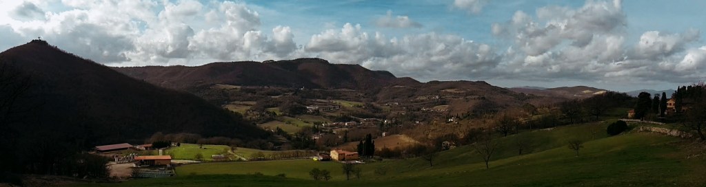
I woke up feeling ready to explore somewhere new. It was cloudy outside, but it seemed like a good day to go hiking anyway. Actually, every day is a good day if you have the right attitude and the right gear. And, I’m in Florence, so there isn’t anything too challenging around here that should make me worry about the weather.
North of Fiesole, Monte Senario houses the most famous monastery of the Mugello region. I’ve been thinking about visiting the area for while. It is also on the popular Via degli Dei – the Way of the Gods – a 100 km (62 mi) trail between Florence and Bologna. Hiking the full path is on my ‘to do’ list but today I wasn’t tackling the whole thing. I was willing to explore this leg though.
Up from Campo di Marte
I started my walk at the Salviatino, in Florence, a lovely area in the Campo di Marte neighborhood that leads up to Fiesole following what is left of the Affrico river, one of the tributary rivers of the Arno. Tamed a long time ago, most of its course runs underground nowadays. We are on path CAI 7 and the beginning of the Way of the Gods which goes uphill for about 40 minutes, taking us by Monte Ceceri and its famous limestone quarries where Michelangiolo tried his first hand at sculpture and Da Vinci unsuccesfully tested his flying contraption. What a great place to absorb the history and the beauty of the Florentine countryside!


We skirt the neighborhood of Borgunto, at the top of Fiesole, heading east toward San Clemente. The road offers great views of Pian di Mugnone, the valley of the Mugnone river, another tributary of the Arno, and the north side of Fiesole and the Cathedral of St. Romulus. Fiesole is an ancient city, founded by Etruscans at least 700 years before Romans built the castrum of Florence, and definitely worth exploring. But that will be another day. Now, Poggio Pratone at 702 m (2,303 ft) awaits as we continue toward Monte Senario.

Poggio Pratone and the Via degli Dei
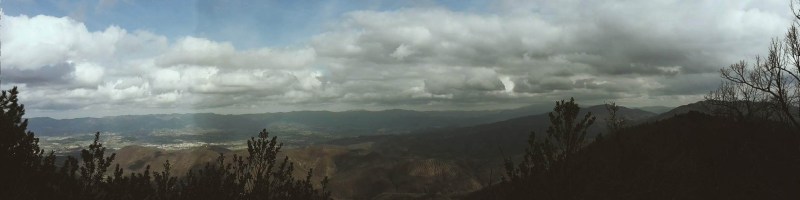
Following Via San Clemente, the signs of the Way of the Gods direct us to a side trail to Alberaccio. On the way, we reach the top of our hike at Poggio Pratone to be rewarded with a beautiful view of the Florentine valley and the rolling Chianti hills beyond it. A tombstone commemorates Florentine writer Bruno Cicognani who frequently walked these hills. After paying the due respect and taking a last glance at the gorgeous panorama, we continue downhill to Alberaccio and Vetta la Croce.


Soon, the vegetation changes on this side. Thick pine woods block the sun and make for a pleasant hike with amazing views of Fiesole and Monte Morello along the way. We cross the road at Passo alla Catena and continue further north on the path to Alberaccio. From here to Vetta alla Croce is a short hike. At least it should be, but it’s hard to keep going without pausing repetitively and for long periods of time to admire the breathtaking landscape. Looking north, we can already see the monastery of Monte Senario atop the mountain. Looking south, Poggio Pratone, Fiesole and the valley of the Mugnone river are extraordinary. And, the green fields covering this area make it all picture perfect.


Monte Senario and down to Vaglia
After passing Poggio Capanne, we arrive at the watershed between the Mugnone and Valdarno to the south, and the Mugello to the north. The Mugello looks completely different. This is definitely not the Chianti. Less vines, less olive trees, more fields of grain, more woods of oak, fir and cypress trees, higher mountains. Gorgeous just the same. We follow Via di Monte Senario until we arrive at the parking area of the sanctuary. Around here, a medieval icebox makes for an unusual sight. The entrance to the sanctuary grounds call for respectful silence and introspection, and the tall Douglas fir trees flanking the path uphill add to the mood. Positive energy abounds here, I could really feel the batteries recharging as I went up.


Seven Florentine noblemen established the sanctuary of Monte Senario in the 13th century. The construction we see today has been modified in the 16th, 18th and 19th centuries as well. Going around it, we can enjoy the Mugello valley down below and the high peaks of the Apennine mountains beyond it. The Way of the Gods continues north from here, but today I only went as far as the junction with path CAI 65 which leads us down to Vaglia and its train station. I will be back to complete the hike, sooner rather than later.
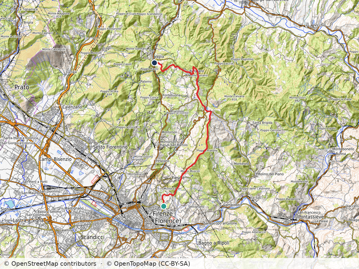
Campo di Marte – Poggio Pratone – Poggio Capanne – Monte Senario – Vaglia
Duration: 5h30
Distance: 24 km (15 mi)
Elevation gain: about 980 m (3,200 ft)
Highest point: about 800 m (2,600 ft)
Trails: Via degli Dei (the Way of the Gods)
Arrive: Via Lungo L’Affrico corner with Viale Augusto Righi. Bus n. 11 (Autolinee Toscane) from Firenze Santa Maria Novella train station (direction Salviatino)
Depart: Vaglia train station
Bus and train timetables in Tuscany change often. If you find a line has changed or a stop has moved, please let other hikers know in the comments below!
Planning more hikes without a car? See my guide to day hikes from Florence by train and bus.
I hope you enjoyed reading it! Let me know your thoughts!
Related hikes: Renaissance Ring 1 over Monte Morello · SO.F.T. trail
Walking the Via degli Dei, or thinking about it? Leave a comment with your plans or questions.


Leave a Reply