Blog

  • Monte Pisano Hike: Ripafratta to Calci on the Sentiero Pisano (CAI 00)

    Monte Pisano Hike: Ripafratta to Calci on the Sentiero Pisano (CAI 00)

    It’s a Friday in June and the alarm goes off before dawn. For about a year, the long ridge walk across Monte Pisano – from Ripafratta, the little castle village between Lucca and Pisa, all the way to Calci – has been on my “to do” list. I prepared for it almost psychologically. Today is the day.

    Monte Pisano is the mountain that sits between Pisa and Lucca – Dante himself wrote that it is the reason “the Pisans cannot see Lucca” (Inferno, Canto XXXIII). From Florence it is a bit far for a day hike, but with an early train it is perfectly doable, and the reward is something you don’t get on the hills around Florence: the Mediterranean.
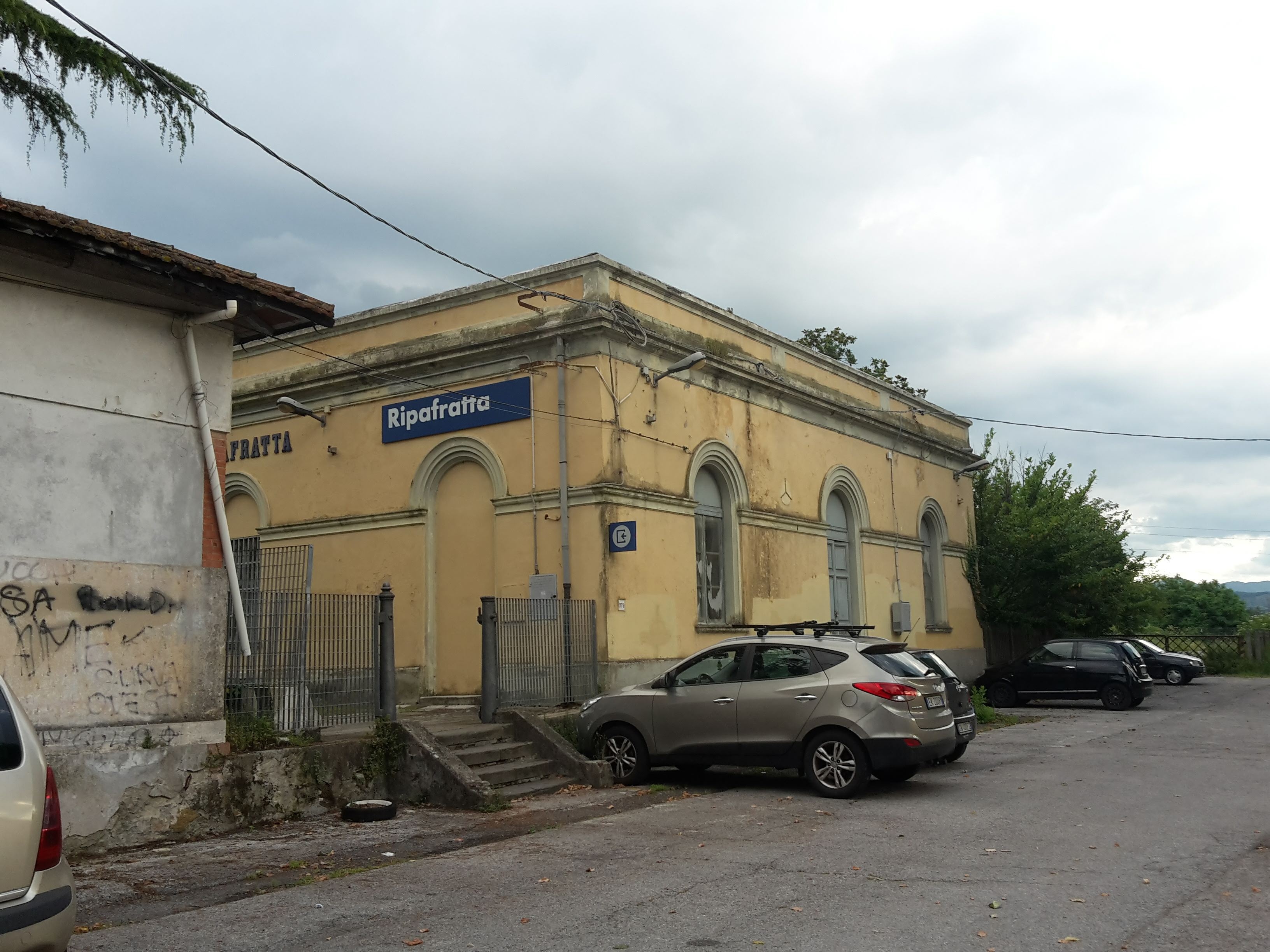
    The small yellow Ripafratta train station building in the early morning, start of the Monte Pisano hike
    Ripafratta station, 7 am – the start of the Sentiero Pisano

    Getting there by train

    The trick is to be on the trail early, especially from late spring on, when the sun gets strong on the open ridges. From Florence there are two good options, and no need for a car:

    • The early one (my choice): the 5:00 am regional train from Firenze Santa Maria Novella to Lucca (arrives 6:38 am), then change for the 6:52 am train towards Pisa. Ripafratta is the first stop, 6 minutes later (6:58 am). Two hours door to door and you start walking at 7 am, just like I did.
    • No change, a bit later: the 6:03 am regional train from Florence goes through Lucca and continues to Pisa, stopping at Ripafratta at 8:01 am.

    Going via Pisa Centrale is slower, and the bus to Lucca doesn’t save any time, so I’d stick with the train. Ripafratta is a small unstaffed station, but trains between Lucca and Pisa stop there roughly every half hour to hour during the day. Check the early connections the day before: several of them don’t run on Sundays and holidays.

    Ripafratta and the first climb

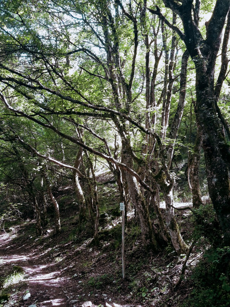
    We get off at Ripafratta and the trail starts right there – the path CAI 00, the Sentiero Pisano (on recent maps you may find it numbered 100), which follows the whole ridge of Monte Pisano. The first climb, above the village and its ruined fortress, is where I saw the last human being of the day. Seriously, not a single person on the trail from there to Calci.
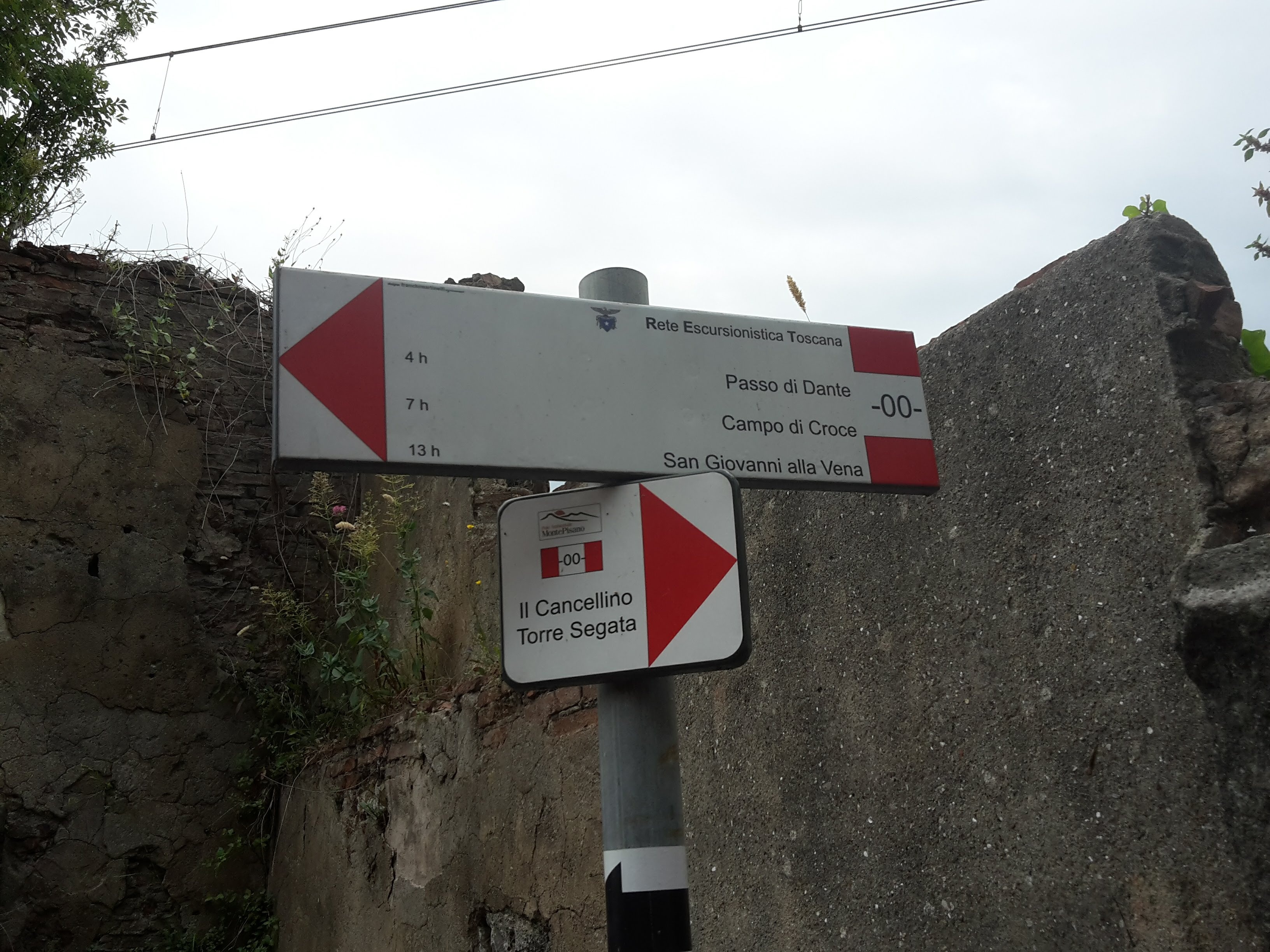
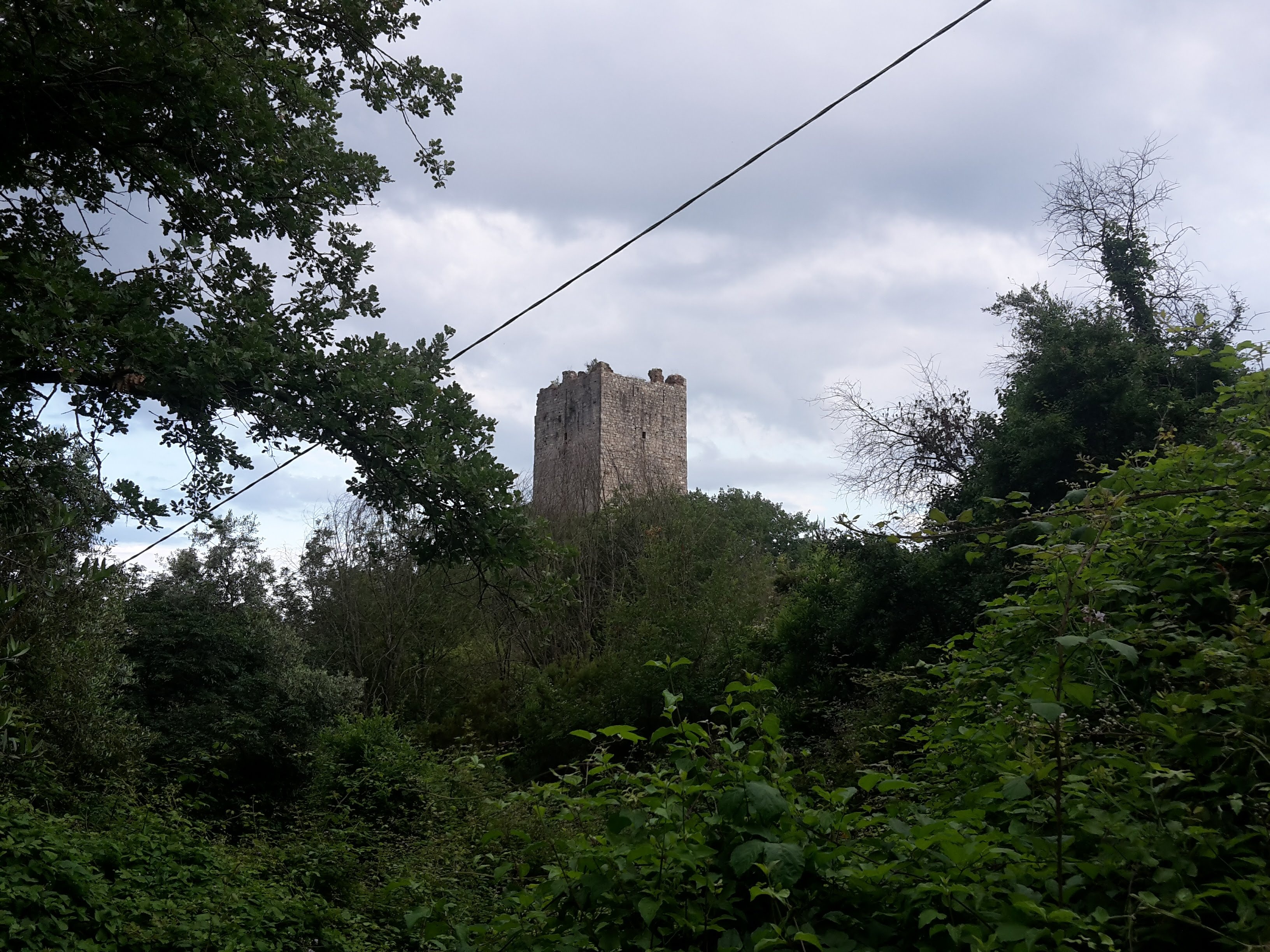
    Red and white CAI 00 trail signs on a pole against a stone wall in Ripafratta
    The first red-and-white signs of the CAI 00
    A medieval stone tower of the Ripafratta fortress rising above green woods
    The old fortress tower above Ripafratta

    And this is the beauty of starting early. Before 8 am I was already near Romagna (7:58 am), and the view opened over the plain towards the sea: the Mediterranean shining in the morning light, the island of Gorgona, Elba and, far in the distance, Corsica. On a clear morning it takes your breath away.
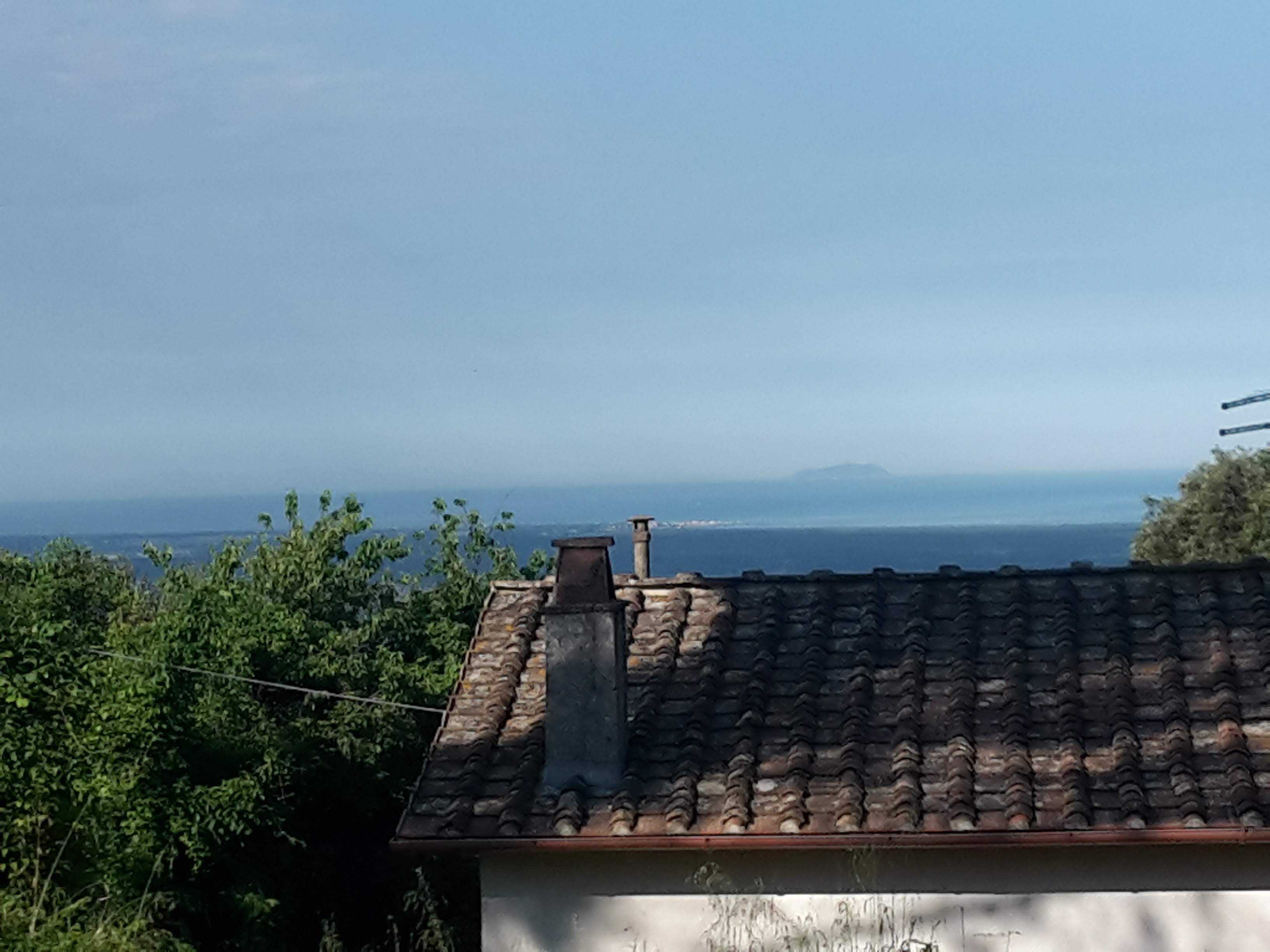
    The Mediterranean Sea and an island on the horizon seen beyond a tiled roof on Monte Pisano
    First glimpse of the Mediterranean, with Gorgona on the horizon

    Tall grass, snakes and the Passo di Dante

    Let me be honest: this is not an easy hike, and it isn’t the most rewarding one I’ve done either. Much of the ridge is open land, and in June the grass was high – very high. In many parts you can barely see the trail, and you never know when you are going to step on a snake (I saw two during the day). An owl was my only other company.
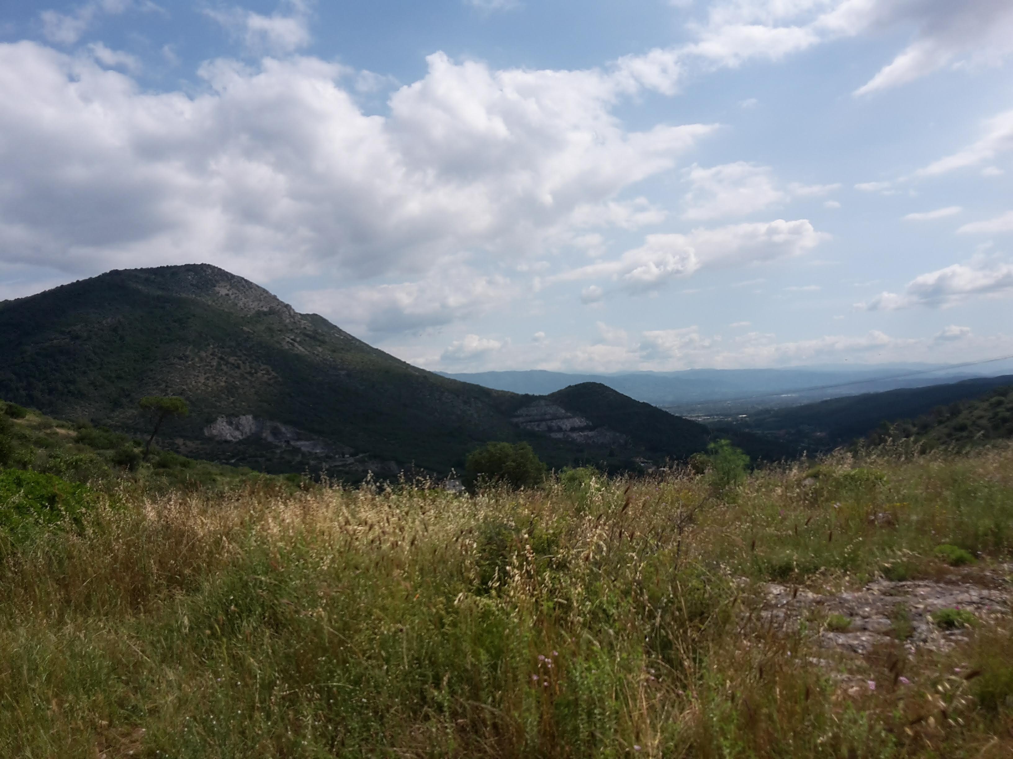
    Tall summer grass covering an open ridge near Passo di Dante, with wooded hills behind
    In June the grass near Passo di Dante hides the trail

    The real trouble came around Passo di Dante. The land is wide open there, the grass covers everything and the red and white markers of the 00 are not clear exactly where you need them. I lost the trail twice. The second time I went all the way down a white gravel road, under the sun already high, thinking I was still on the right path. I almost gave up and walked down to San Giuliano Terme – it was right there. But I turned around, faced that road of white stones reflecting the heat, and climbed back up. Like Dante, I found the diritta via (the straight path) again, towards his Passo. I reached it at 11:10 am.
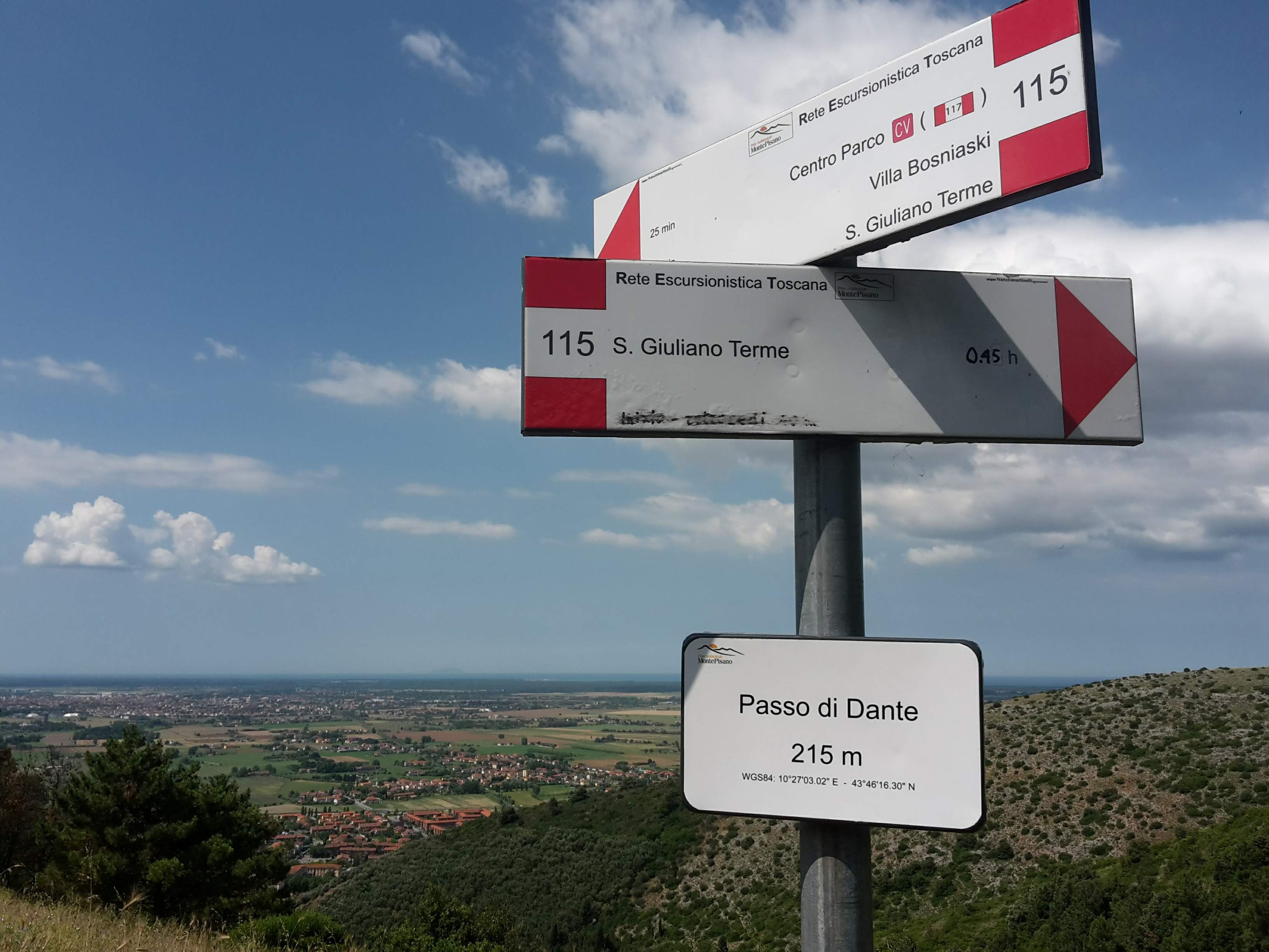
    Trail signs at Passo di Dante, 215 m (705 ft), pointing to San Giuliano Terme, with the plain toward Pisa behind
    Passo di Dante at last – 11:10 am

    Those detours added more than 4 km (2.7 mi) to my day, 2 km (1.2 mi) of them going down and up again. You’d probably want to study the map before venturing on it, and carry an offline map on your phone. If the grass is high, slow down at every junction near the pass and look for the next marker before moving on.

    From Passo di Dante to Foce di Calci

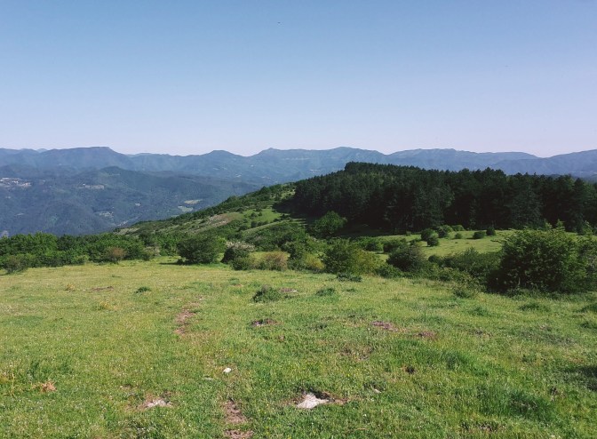
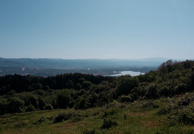
    The damage was done, though. From the pass on, every steep climb with loose stones (sfasciumi, as they say) felt twice as hard. The wooded sections are lovely but short, and the panoramas come and go – but when they come, Pisa and Livorno with the Mediterranean behind them are worth every step.
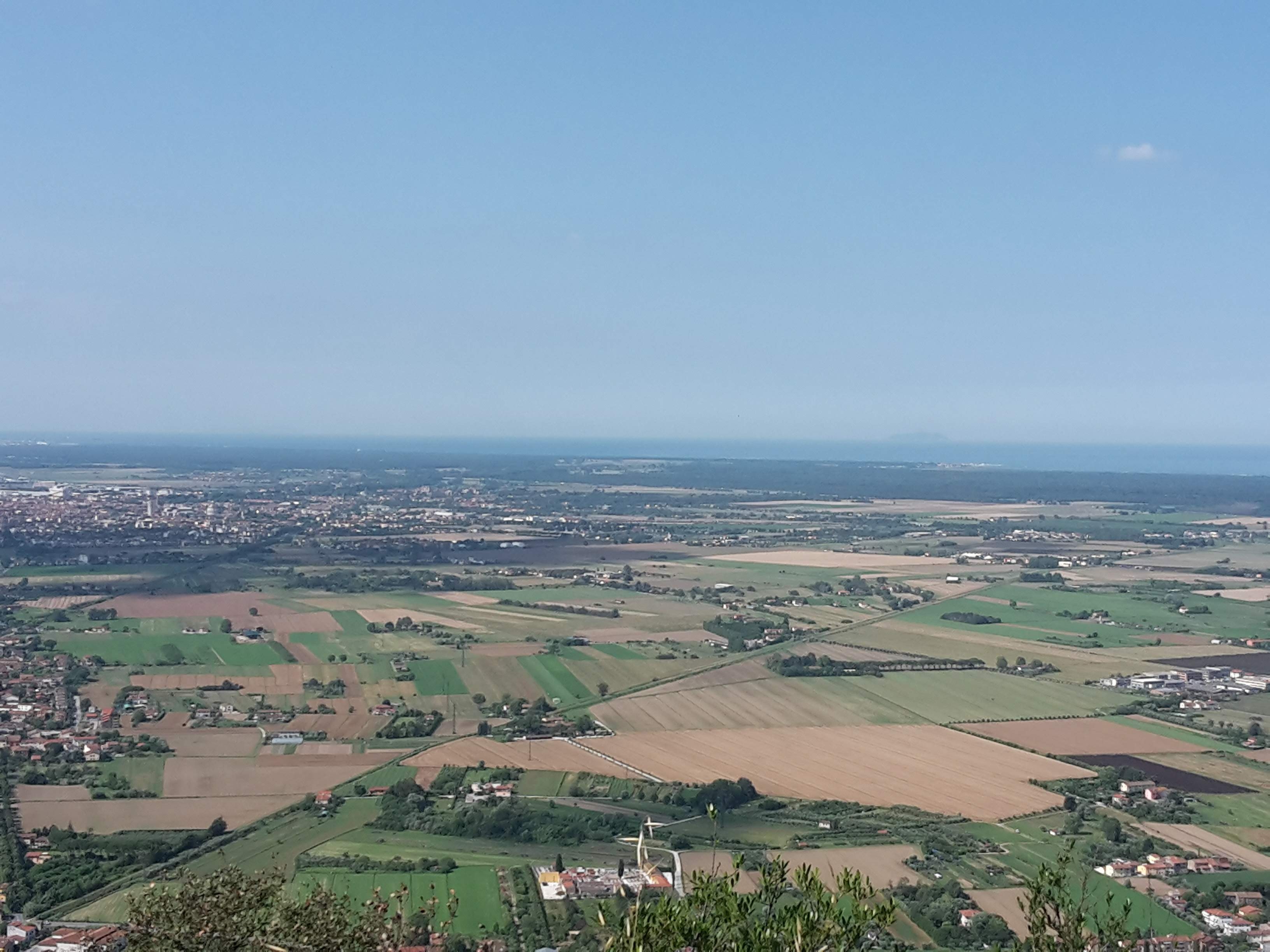
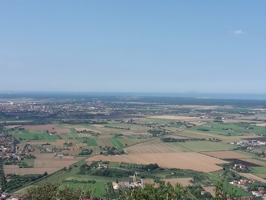
    Wide view from Monte Pisano over the green Pisan plain, fields and villages toward the Tuscan coast
    The Pisan plain stretching to the coast from the Monte Pisano ridge

    At the Foce di Calci there is a choice: keep climbing towards Monte Faeta, 830 m (2,723 ft) and Monte Serra, 917 m (3,009 ft), another 500–600 meters (1,640–1,970 ft) up, or head down to Calci. I chose Calci. The descent is tiring too, at times very steep on narrow paths full of loose stones, so take it slowly.

    On the way down from Foce di Calci I found some of the most interesting trees of the day: cork oaks – sughere in Italian (Quercus suber). I’m used to thinking of cork as something from Portugal, but here they are, growing on the sunny slopes above Calci. They are evergreen Mediterranean oaks that like warm places and acid soils (they’re rare on limestone), and Monte Pisano suits them. Touch the bark: it’s thick, spongy and full of air, and it works as a natural fireproof coat. On a mountain where, since the 1970s, only about 10% of the land has escaped fire, that matters. After a blaze, a cork oak can sprout again from its branches, and after the big 2018 fire they were among the trees replanted above Calci.
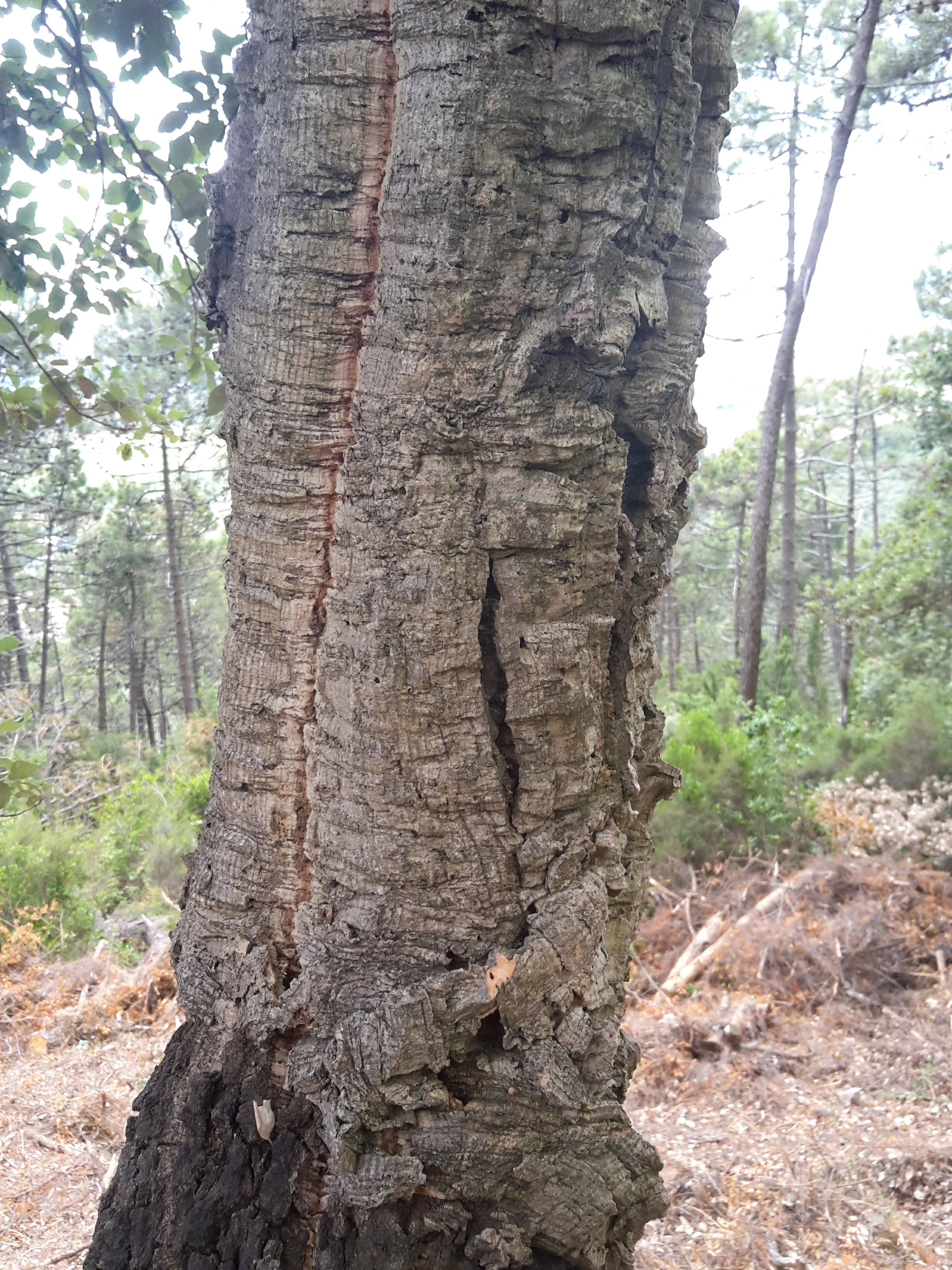
    Trunk of a cork oak with thick, deeply cut bark on the slopes of Monte Pisano above Calci
    A cork oak (sughera) on the slopes above Calci – its thick bark helps it survive the fires that sweep Monte Pisano

    Calci, its Certosa and its Pieve

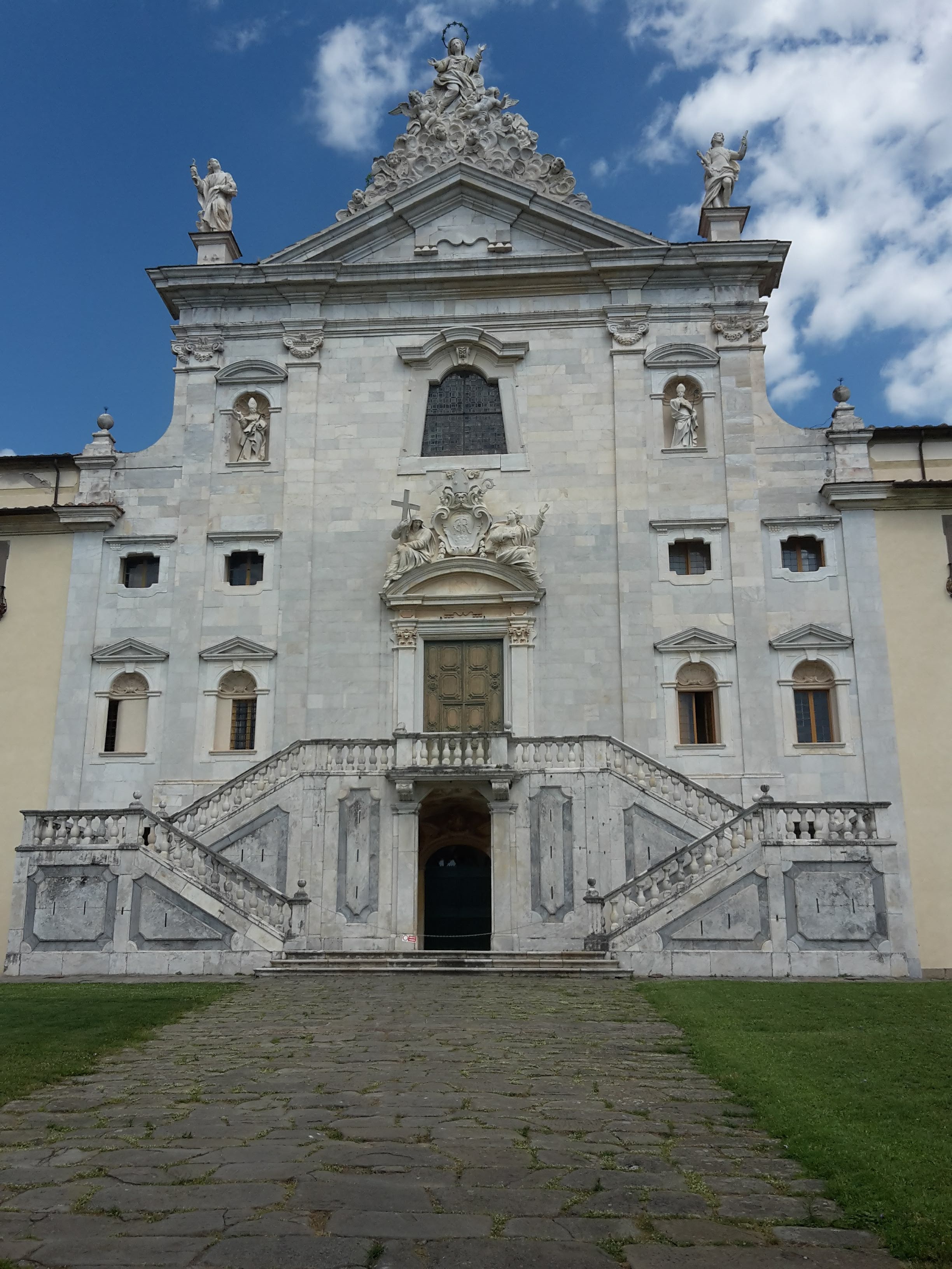
    My last lovely memory of the day is seeing Calci from above, with its imposing Certosa (the Carthusian monastery, founded in the 14th century) and the charming pieve (parish church) of Santi Giovanni ed Ermolao in the center of town. A quick visit, but well deserved. I arrived just after 3 pm, eight hours after leaving Ripafratta.
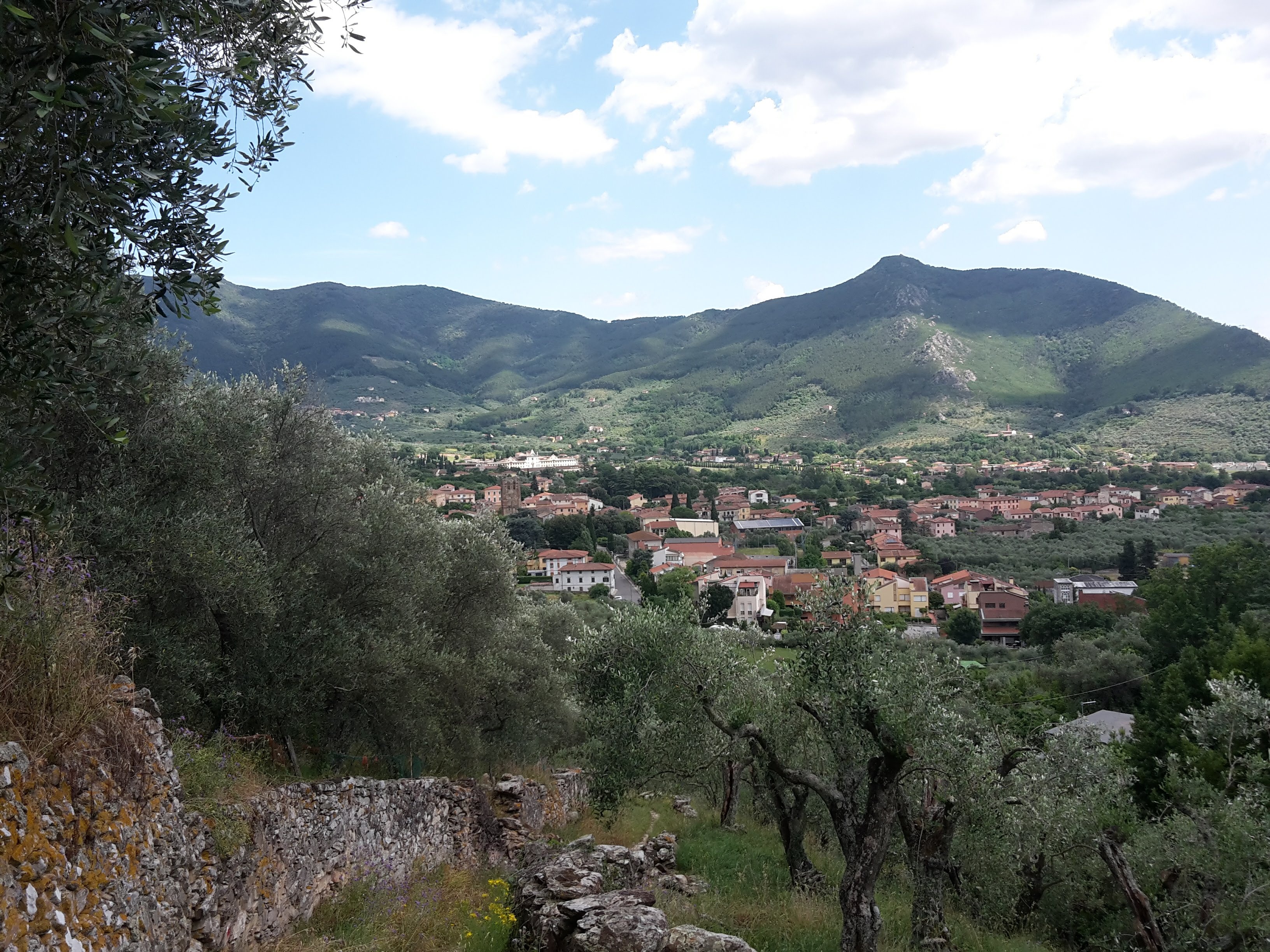
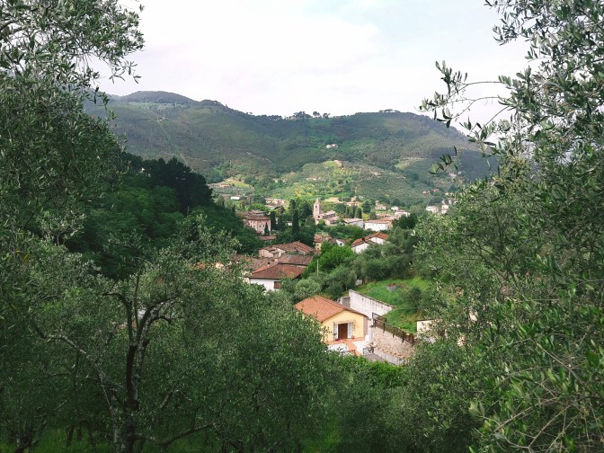
    Rooftops of Calci among olive trees, with the green slopes of Monte Pisano behind
    Calci from above, through the olive groves
    The white baroque facade and double staircase of the Certosa di Calci, the Carthusian monastery
    The imposing Certosa di Calci

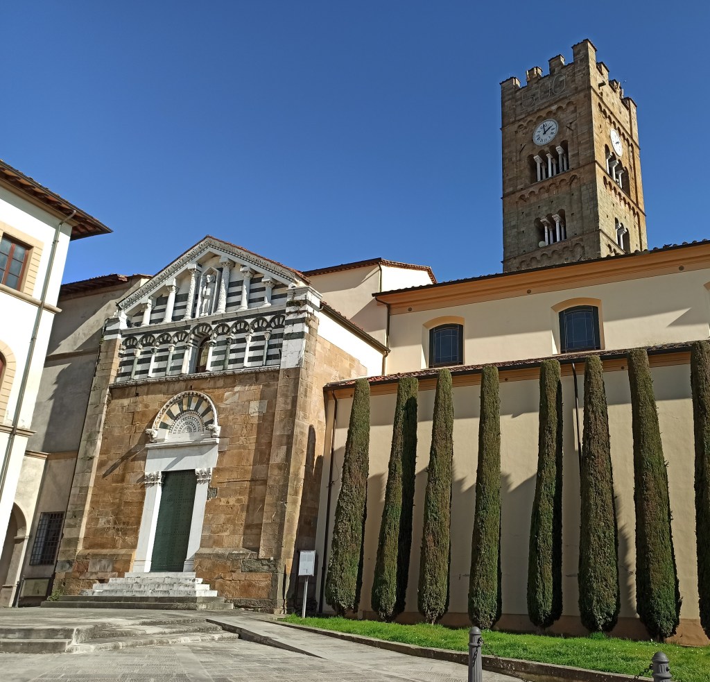
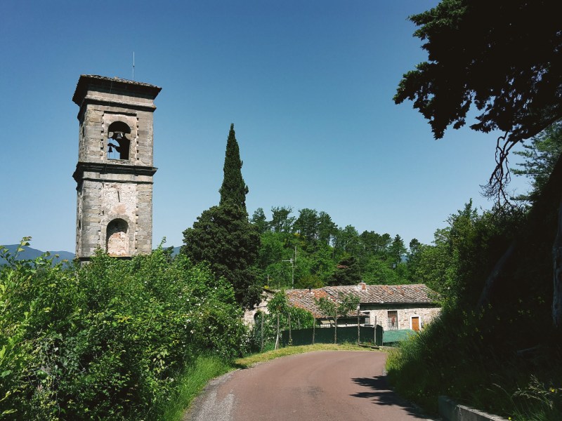
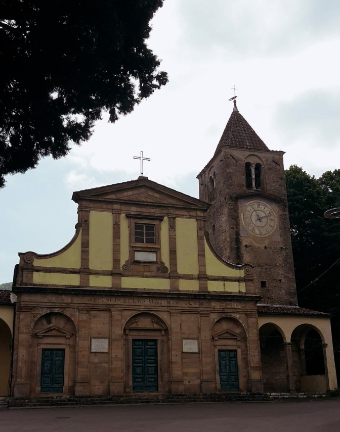
    Tired as I was, the pieve deserved a proper look – it’s an exquisite church. It was built around 1100, when Daiberto was archbishop of Pisa, and in 1111 the relics of Saint Ermolao were brought here (an inscription on a pillar of the high altar still records it). The style is Pisan Romanesque, with a facade of blind arches in two orders. Look closely and you’ll notice it isn’t symmetrical: soon after it was built, the left side was extended to cover the chapel with the baptismal font. And that font, from the 12th century, is the real treasure inside – Christ, Saint John the Baptist, the Virgin and two angels, with the river Jordan carved as a human figure. Next to it, the massive square bell tower may once have been a defensive tower (local historians still argue about it).
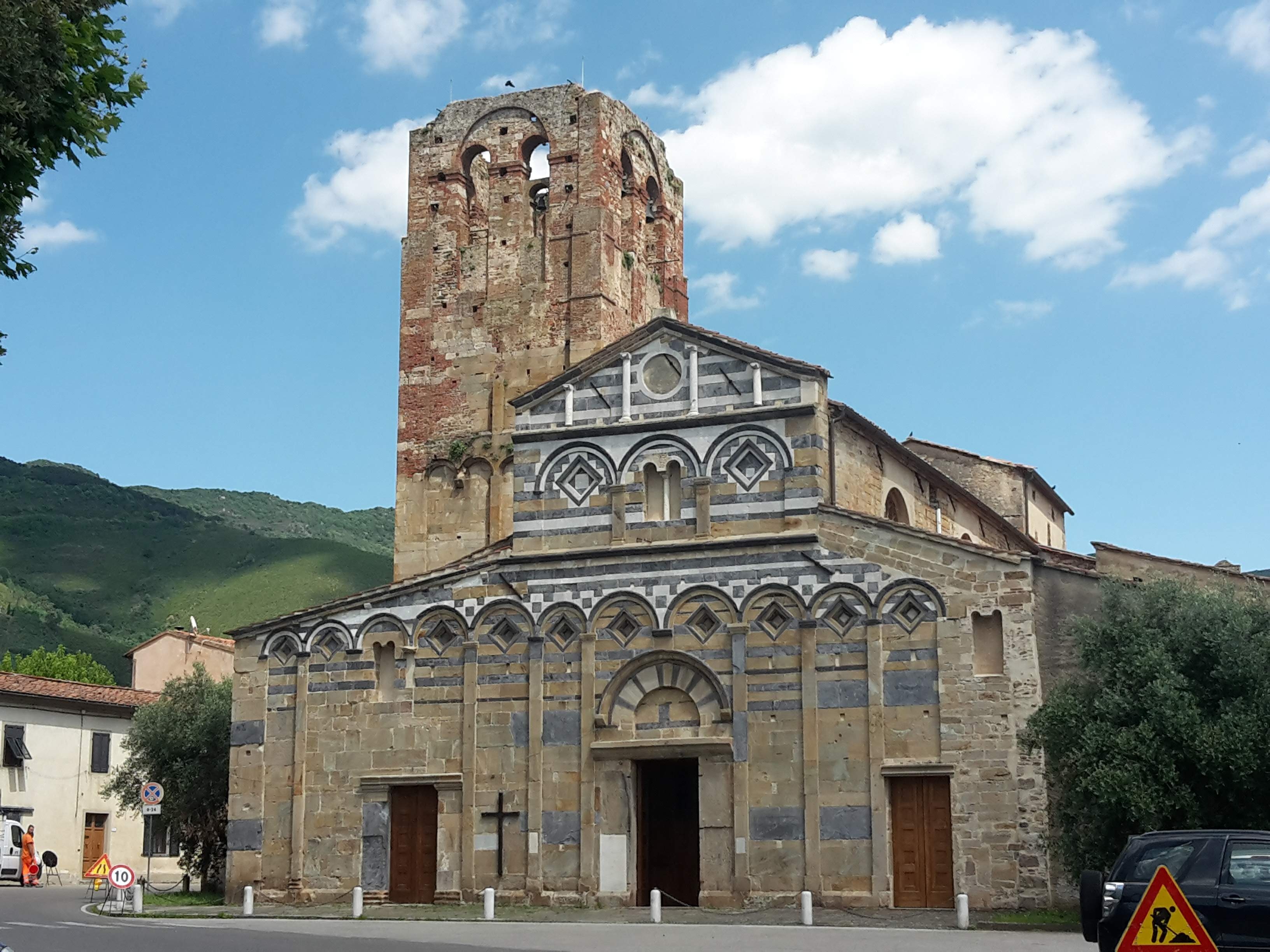
    The Pisan Romanesque facade of the Pieve dei Santi Giovanni ed Ermolao in Calci with its massive square bell tower
    The Pisan Romanesque Pieve dei Santi Giovanni ed Ermolao in Calci, built around 1100 – an exquisite end to a long day

    A word about fire

    On 24 September 2018, a huge wildfire started near Calci and burned well over 1,100 hectares (about 2,800 acres) of Monte Pisano, most of it woods on the slopes above the town. The forest is slowly coming back and you will see the signs of it on this side of the mountain.

    Fire is a real risk here every summer. In Tuscany the high-risk period normally runs from 1 July to 31 August, but the Region often brings it forward or extends it. During that period you cannot light any fire in the woods, outside of equipped picnic areas. My advice: hike this trail in spring or autumn rather than in high summer, check the daily fire-risk bulletin from LaMMA before you go. If you see smoke or flames, call the regional fire line 800 425 425 or 112.

    Getting back

    From Calci, bus line 120 of Autolinee Toscane goes to Pisa (Sesta Porta, next to the central station) about every 30–45 minutes on weekdays, with fewer buses on Sundays. You can pay on board with your contactless card or phone: on this line, tap when you get on and again when you get off (if you forget to tap off, you pay the fare to the end of the line). From Pisa Centrale, regional trains take you back to Florence in about an hour.
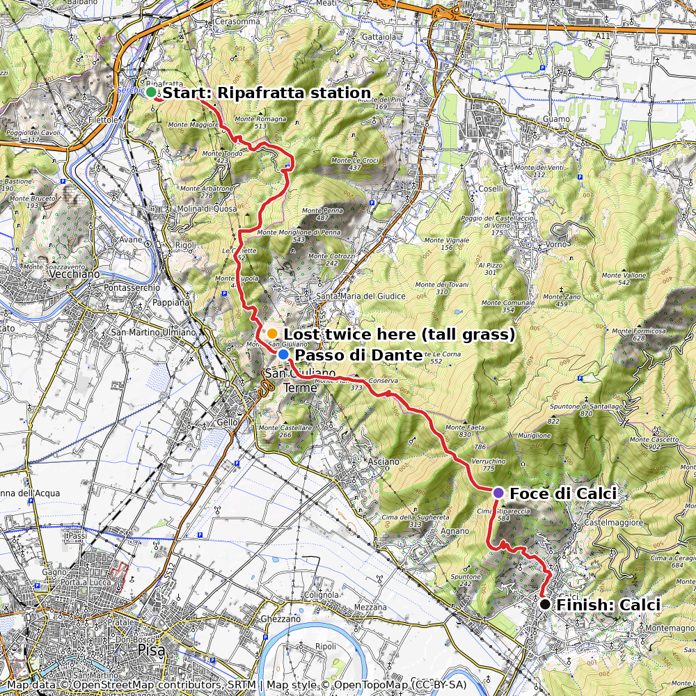
    Topographic route map of the hike from Ripafratta over Passo di Dante and Foce di Calci down to Calci on Monte Pisano
    Ripafratta – Passo di Dante – Foce di Calci – Calci. Map data © OpenStreetMap contributors, map style © OpenTopoMap (CC-BY-SA)

    Was it worth it?

    Honestly? The views of the sea and of Pisa are beautiful, and the Certosa of Calci is a lovely finish. But the trail with tall grass and unclear signs at key points made it a harder and less pleasant day than I had expected. Managing expectations is everything. Next time I’ll hike to Monte Serra directly from Calci, maybe on the way to Lucca – and I’ll tell you all about it.

    If you want an easier first taste of Monte Pisano, start with my walk from Lucca along the Nottolini aqueduct to Vorno. And for more ideas, see my guide to day hikes from Florence without a car.

    I hope you enjoyed reading this post! Have you hiked the Sentiero Pisano, or found the markers around Passo di Dante? Let me know in the comments how it went – and how I can improve this post.

    Ripafratta – Passo di Dante – Foce di Calci – Calci

    Duration: 8h (7:01 am – 3:05 pm)
    Distance: 26.5 km (16.5 mi), including 4.3 km (2.7 mi) of getting lost; the planned route is 22.2 km (13.8 mi)
    Elevation gain: about 970 m (3,200 ft) on the planned route
    Trails: CAI 00, the Sentiero Pisano (on recent maps you may find it numbered 100)

    Arrive: by train to Ripafratta (from Florence via Lucca)
    Depart: by bus 120 from Calci to Pisa, then train to Florence

    Tickets: on bus 120 you can pay on board with your contactless card or phone: on this line, tap when you get on and again when you get off (if you forget to tap off, you pay the fare to the end of the line).

    Timetables change often. If you find a change in the bus or train times, please let me know in the comments so other hikers can plan ahead.
  • Reaching the Rural Outskirts of Florence

    Reaching the Rural Outskirts of Florence

    Isolotto – Mantignano – Ugnano – Cintoia

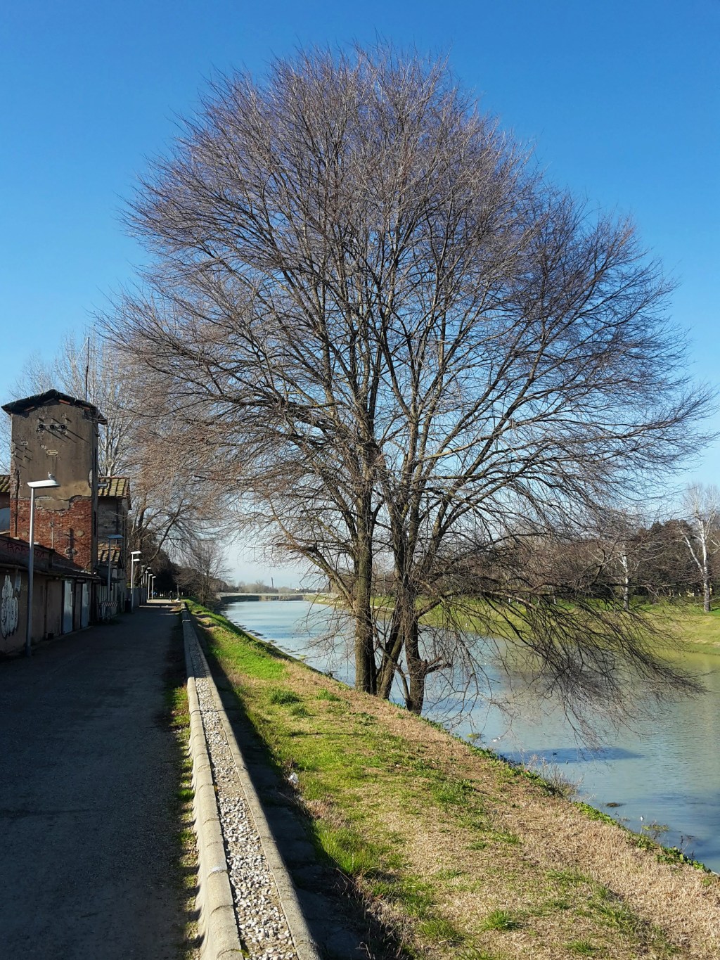
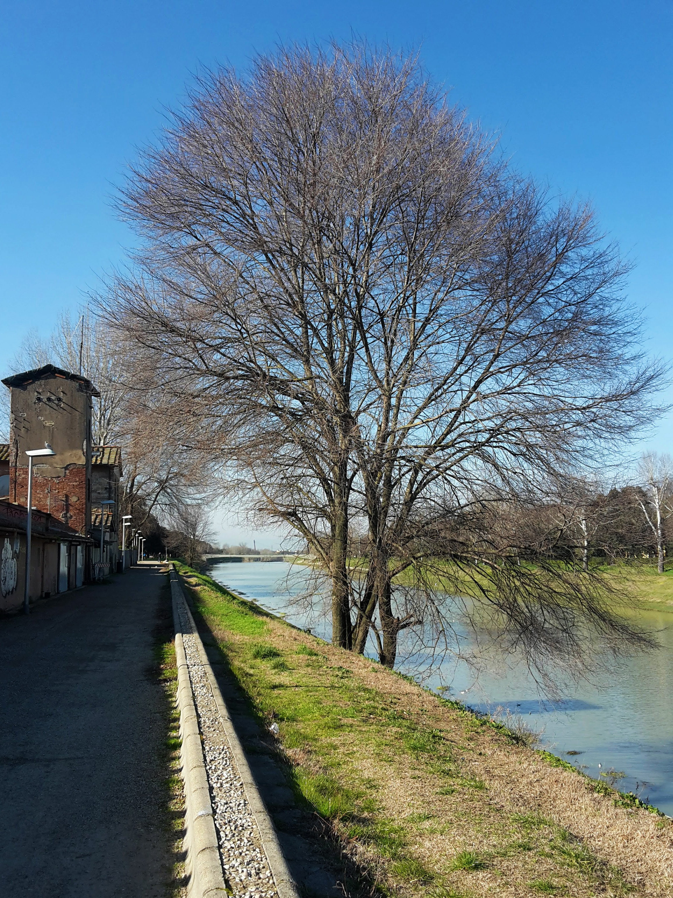
    It was a beautiful sunny winter day, calling me for an afternoon hike. The southwest of Florence was still an unexplored area on my personal map, so I went for it. About three hours on mostly flat, paved walkways and sidewalks, starting from Ponte alla Vittoria. The start of the hike was very familiar, along the southern banks of the Arno. The path is pleasant and mostly shaded, a straight shot towards Ponte dell’Indiano in a less trafficked side of the river while watching the joggers and bikers going by in Parco delle Cascine.

    Shaded riverside path on the southern bank of the Arno opposite the Cascine, Florence, where Duke starts the plains loop
    Shaded walk on the southern banks of the Arno
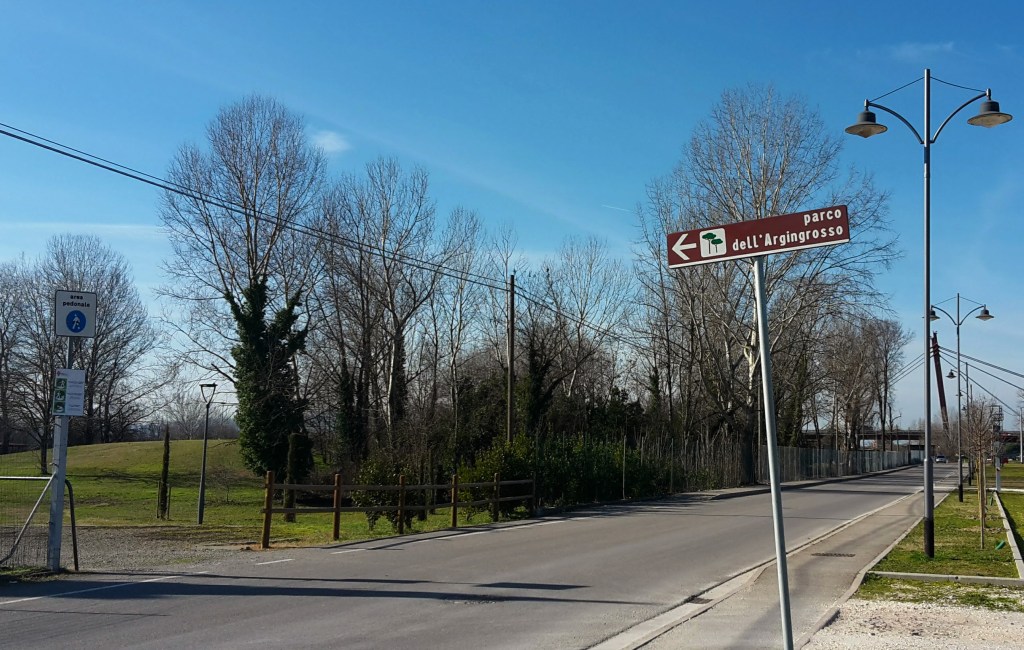
    Leaving the Arno into Parco dell'Argingrosso on Florence's southwest edge
    Leaving the banks of the Arno into the Parco dell’Argingrosso

    Parco dell’Argingrosso

    Reaching Parco dell’Argingrosso, I glanced at the turbid waters of the Arno one more time before entering the park. The Argingrosso is not as large nor as charming as the Cascine, but it makes for a good area to walk around. I quickly crossed it heading into the direction of the underpass of Ponte dell’Indiano, which opens up to a nondescript, industrial part of town. Bulldozers mine sand from the Arno banks around here, and it is still used for construction in town.

    It is not the prettiest stretch — quiet and a bit deserted between the river and the railway — and I met the same scenery again later on the way back from Mantignano to Cintoia: an ugly part of town that, frankly, smells awful. Don’t let it put you off, though, because what lies beyond is worth it.

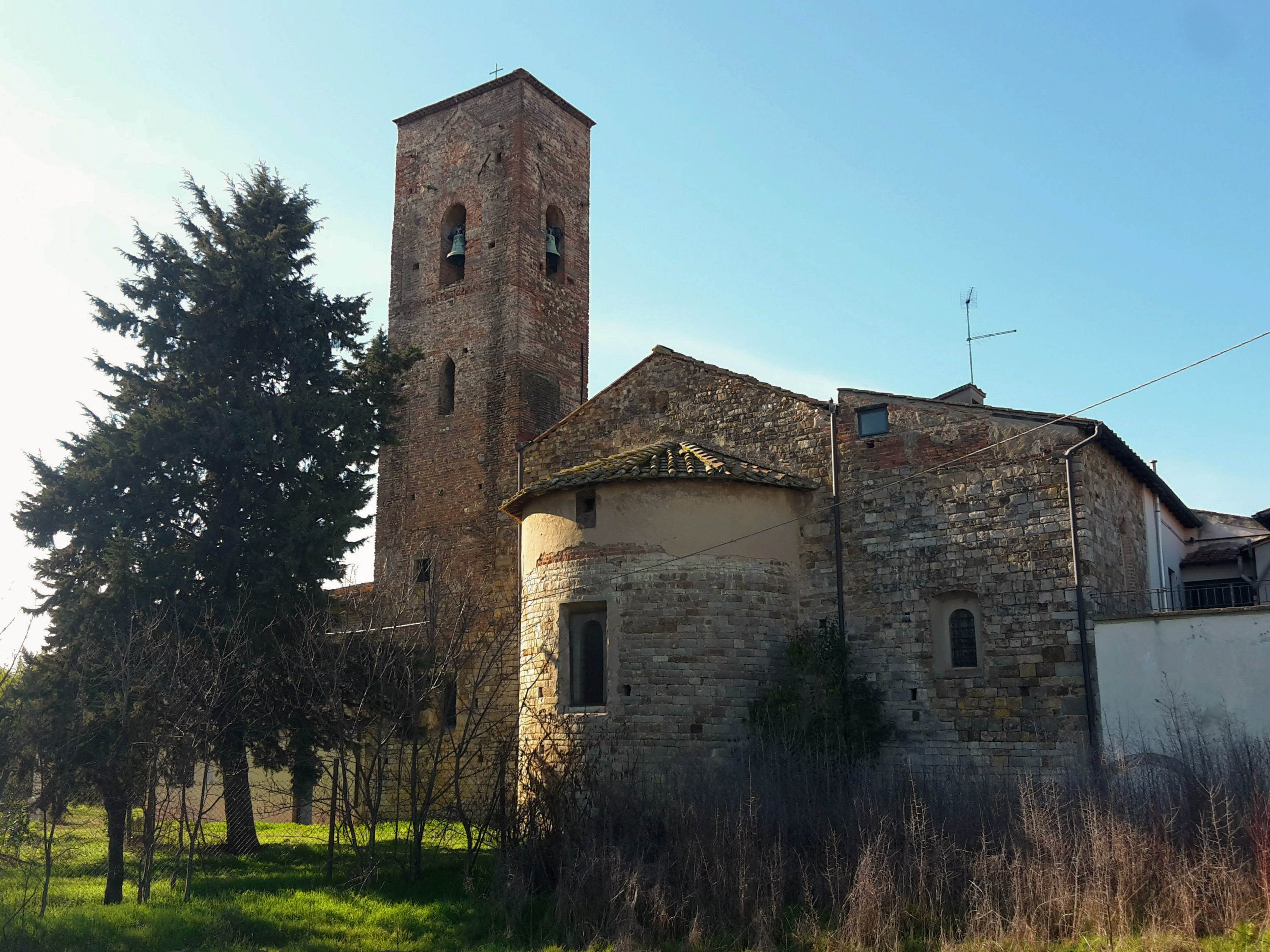
    Church of Saint Mary in Mantignano, a sleepy neighborhood on Florence's southwest plains
    Chiesa di Santa Maria in Mantignano
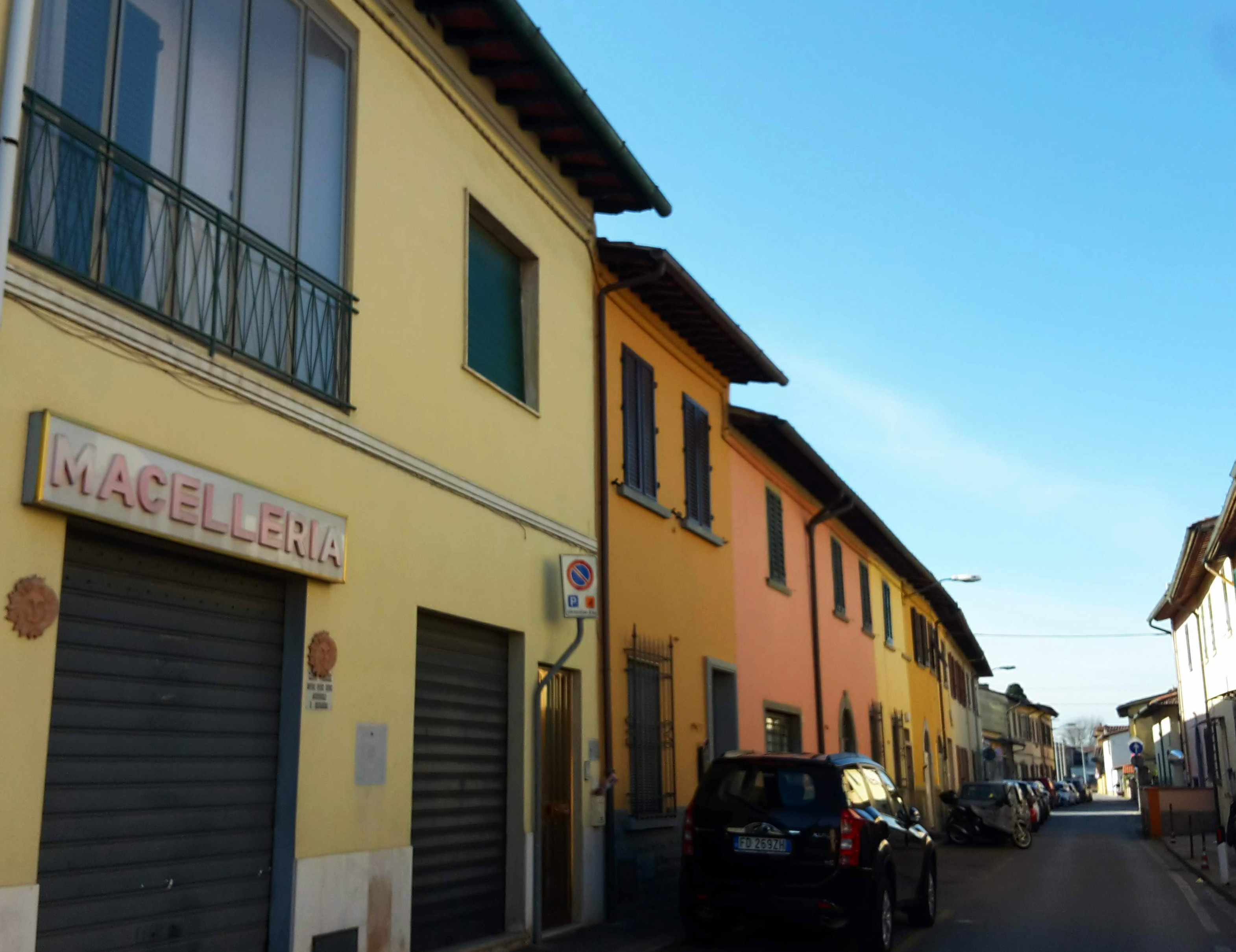
    Houses and a quiet lane in Mantignano under a clear winter sky
    A quiet lane in Mantignano

    Mantignano and Ugnano

    Mantignano is a charming, sleepy little neighborhood of small houses on the left bank of the Arno. This is Florence’s suburbia. Next comes Ugnano, and with it rural Florence: plenty of vegetable gardens and greenhouses. It is a lovely area, and on a clear day the views of Monte Morello and the Calvana to the north are really beautiful. One word of warning: I wouldn’t recommend walking here in the summer, as there is hardly any shade.

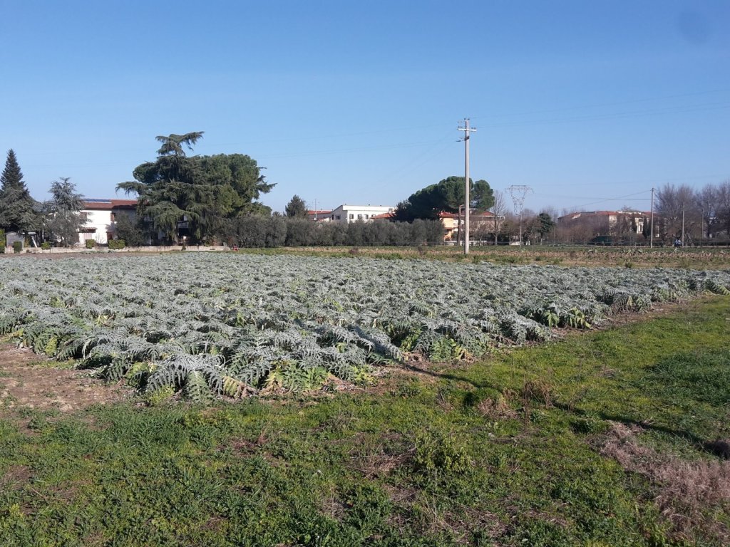
    Rows of artichoke in a vegetable field in Ugnano under a clear winter sky
    Artichoke plants in the vegetable gardens of Ugnano
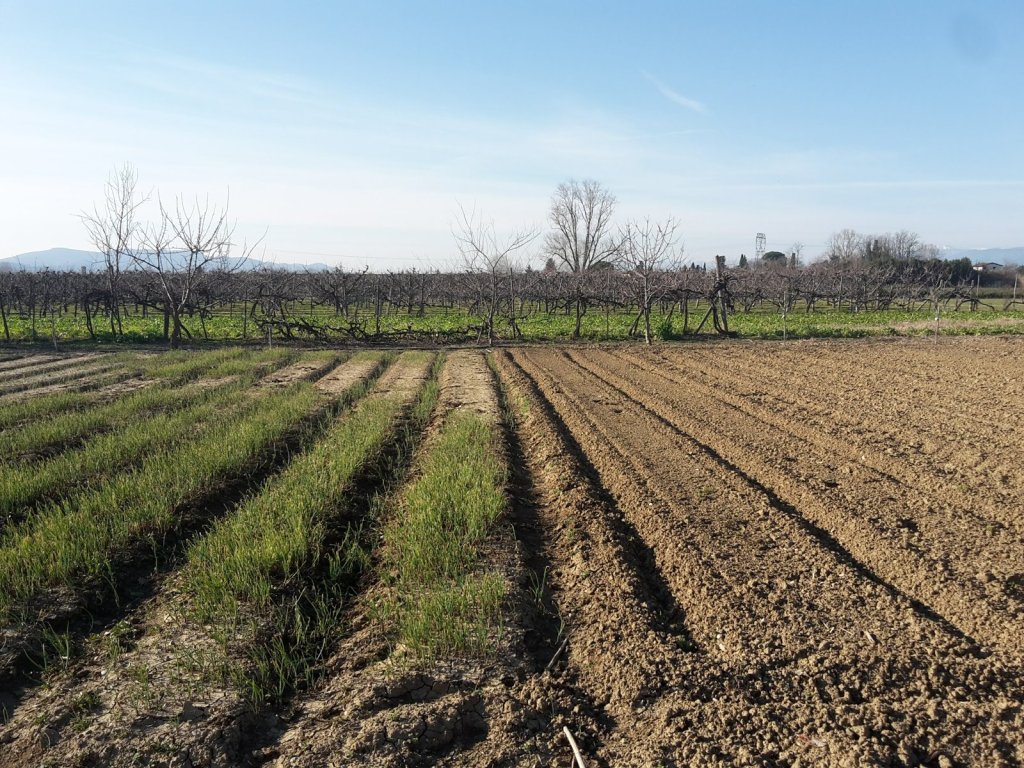
    Plowed furrows and young vegetable rows in a field in Ugnano, with bare trees behind
    Freshly plowed fields in rural Florence, a good 6.4 km (4 mi) walk from the city

    It was nice to walk through these less-explored corners of Florence — Mantignano and Ugnano — that still keep an untouched, small-village feel.

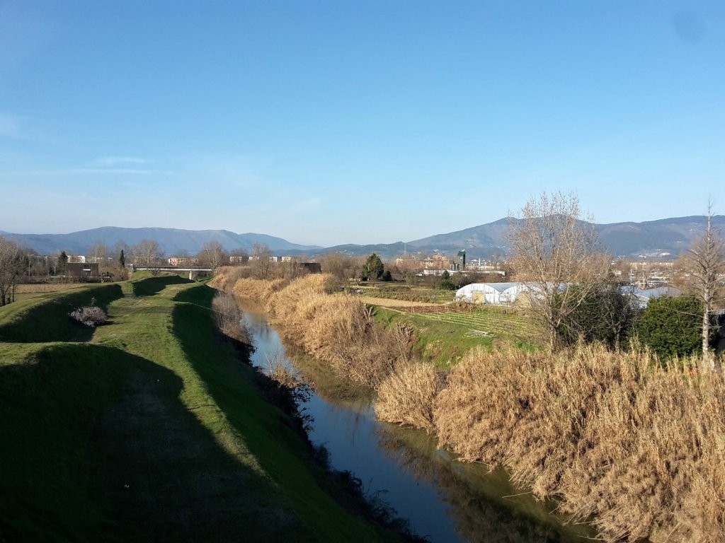
    A canal lined with dry reeds near Ugnano, with the mountains north of Florence on the horizon
    Greve river divides Ugnano from Mantignano, with the view of the Apennines north of Florence

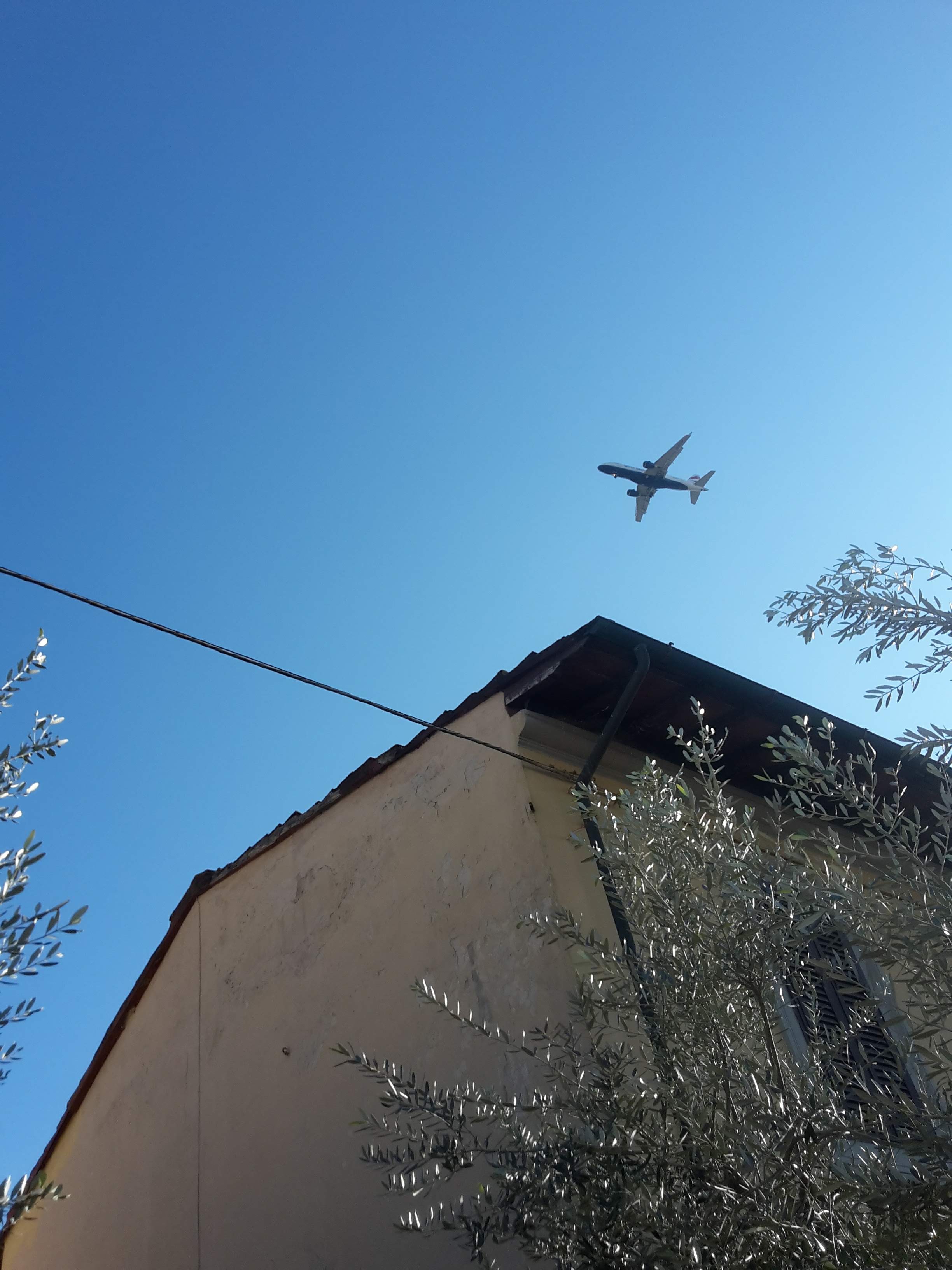
    A shame, though, that the peace gets interrupted every now and then by airplanes overhead. Florence’s airport is very close by, just across the Arno in Peretola, so the flight path is never far away.
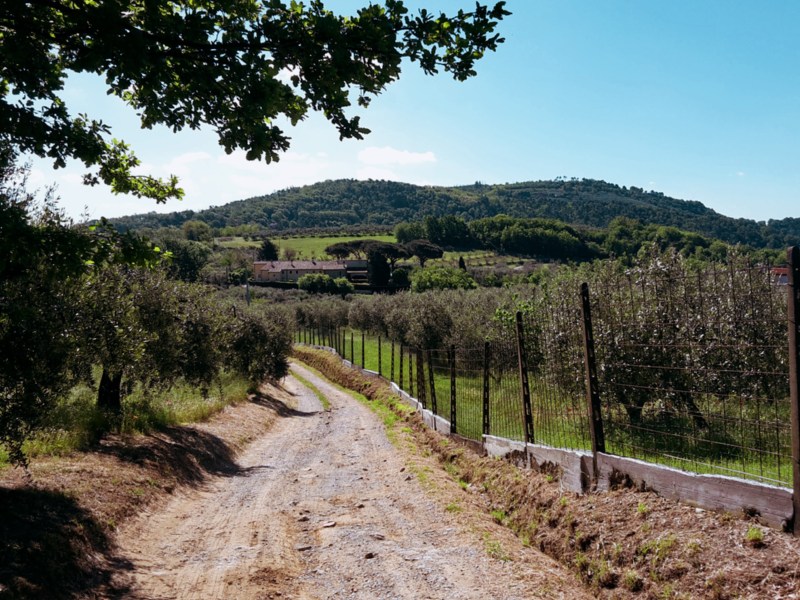
    Airplane flying above a house against a blue sky.
    An airplane overhead, with Florence’s airport just across the Arno

    Cintoia and Villa Vogel

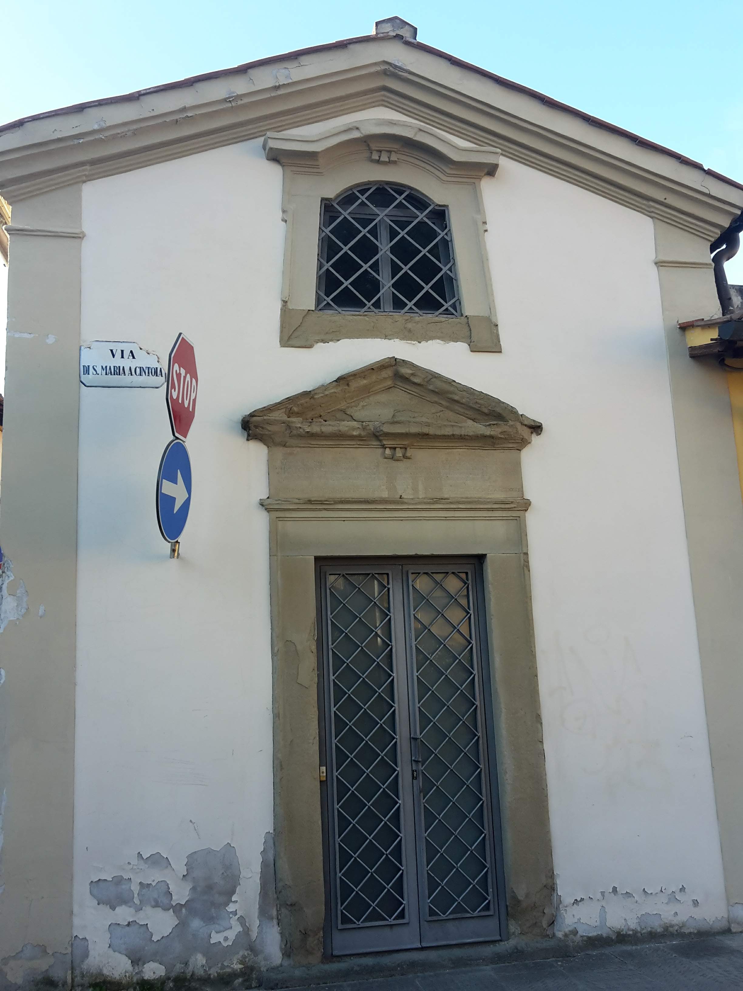
    From Castelnuovo I turned back to Mantignano, and crossed the Greve river again to reach San Bartolo a Cintoia, another residential area and more urban part of the walk. It is a nice laid-back neighborhood with some scenic stops, small chapels and the church of Santa Maria a Cintoia, with its square bell tower and a lovely loggia. The scooters and regular traffic make me miss the fresh air and quiet I had just enjoyed across the river, so this is not as reinvigorating of a stretch.

    The park of Villa Vogel makes for a good place to finish our stroll and people watch a bit, before heading to the tram within walking distance for the ride back to the center of Florence – or to walk back all the way if you still have the energy. The prominent Capponi family built this estate in the 13th century, but the current name comes from a Swiss family who acquired it in 1923. The building was largely abandoned after the World Wars, and the family eventually donated it to the city, thus its present status as a municipal park.

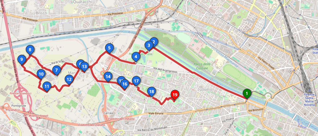
    Route map of the walk along the left bank of the Arno through Isolotto, Mantignano, Ugnano and Cintoia, ending at Parco di Villa Vogel, with numbered points 1 to 19
    Along the left bank of the Arno through the southwestern neighborhoods — about 13 km (8 mi) on the flat, through paved paths and streets (1-5, Isolotto; 6-13, Mantignano and Ugnano; 14-18, Cintoia; 19, Villa Vogel)

    All in all, this afternoon walk showed me a side of Florence few visitors ever see: the shaded southern banks of the Arno, the Parco dell’Argingrosso, the quiet village of Mantignano and the plowed fields of Ugnano with the Apennines on the horizon, alongside some industrial corners best walked through quickly. Pick a clear winter day, and this part of Florence will surprise you.

    Arno southern bank – Parco dell’Argingrosso – Mantignano – Ugnano – Castelnuovo – San Bartolo a Cintoia – Parco di Villa Vogel

    Duration: about 3h
    Distance: about 13 km (8 mi)
    Terrain: essentially flat

    Arrive: south (left) bank of the Arno near Ponte alla Vittoria, opposite the Cascine. Walk to the start from the center or take the T1 tram to Paolo Uccello (direction Villa Costanza).
    Depart: Parco di Villa Vogel, in the Isolotto area of Florence. Then walk to the nearby Talenti or Federiga tram stop and take T1 toward Careggi. Get off at Alamanni Stazione for Santa Maria Novella and the city center.

    Tickets: check GEST for current tram services and tickets.

    Bus and train timetables in Tuscany change often. If you find a line has changed or a stop has moved, please let other hikers know in the comments below!

    I hope you enjoyed reading this post! Come back for more, and let me know what you think. Have you explored this quieter side of Florence yet?

  • Via Francigena: A Wanderer’s Path from Lucca to Altopascio

    Via Francigena: A Wanderer’s Path from Lucca to Altopascio

    The Via Francigena, the Frankish Road (or the Roman Road, if you’re heading south), carved a vital artery through medieval Europe, guiding pilgrims from across the continent toward Rome’s promise of redemption—a prelude to the arduous journey to the Holy Land. Fragments of this historic route endure in Italy, beckoning those of us drawn to the past. On a winter’s day, when the plains around Lucca lie open under a cool sky, I set out to walk the stretch to Altopascio, eager to trace the steps of those long-ago travelers.

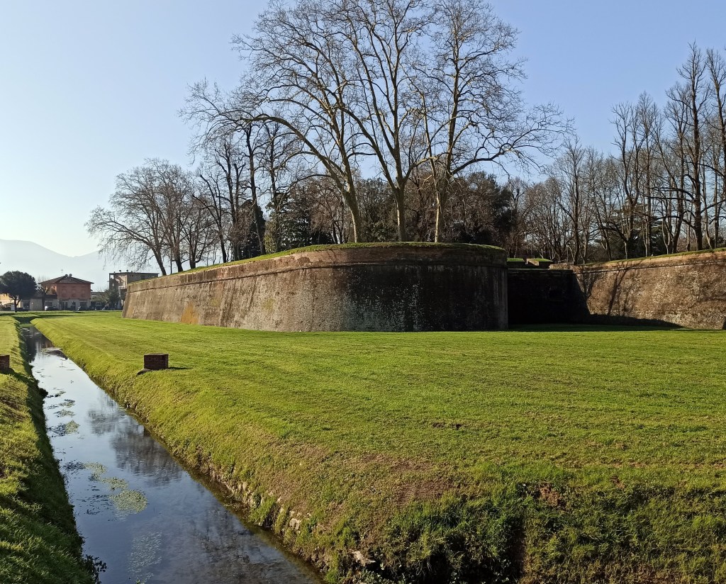
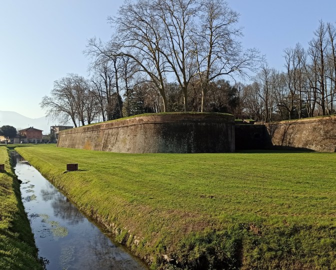
    The brick Renaissance walls and grassy moat of Lucca
    Renaissance walls and moat of Lucca

    Through Lucca

    Lucca marks the starting line, its Renaissance walls and moat a testament to 16th-century ingenuity. Arriving by train, you cross the moat’s remnants and enter through Porta San Pietro, a towering gate that once shielded weary pilgrims from the bandits lurking beyond. The city invites exploration: the Pisan-Romanesque elegance of Duomo di San Martino, founded by San Frediano in the 6th century, or San Michele in Foro’s 8th-century grace. Don’t miss Torre Guinigi, crowned with oaks, or a walk atop the walls for a panoramic view.

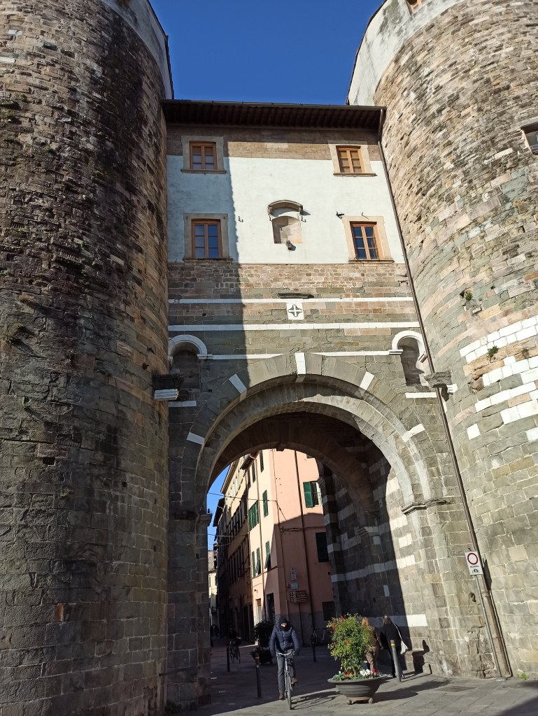
    Porta San Gervasio, the medieval gate in Lucca with its twin towers
    The medieval gate of San Gervasio

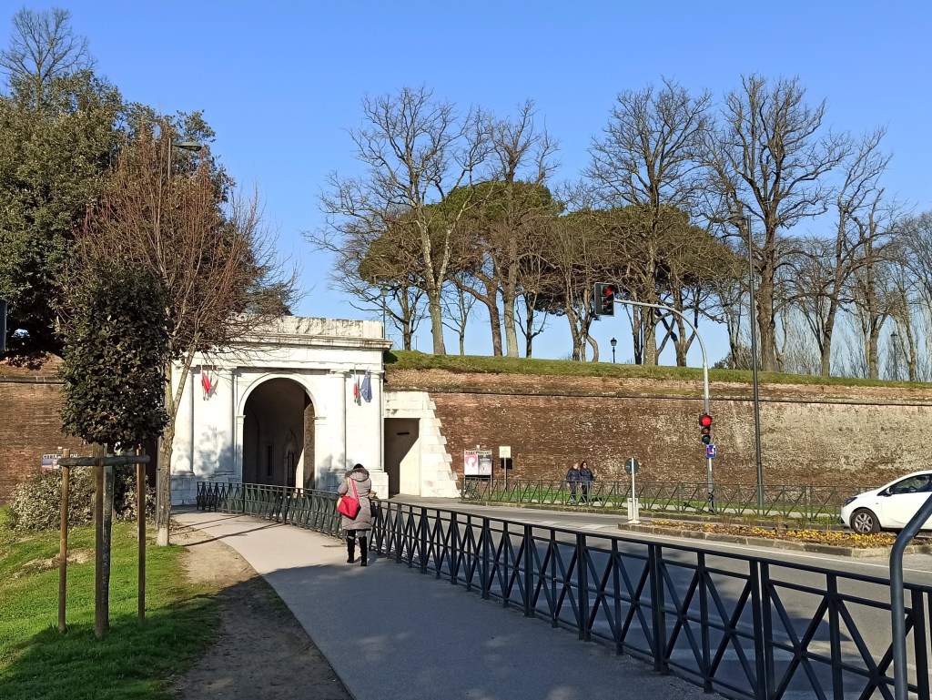
    My journey pressed on. I passed through the medieval Porta San Gervasio, then past the 12th-century Santa Maria Forisportam, and left the city walls behind through Porta Elisa. From there, the Via Francigena’s signs—well-placed posts and decals—lead you onward. Via di Tiglio passes the Monastery-Sanctuary of St. Gemma Galgani, a 20th-century native saint, before joining Via Romana. This provincial road hums with traffic, but a sidewalk cuts through the modern sprawl. A mile later, Via Paladini offers respite, unveiling distant glimpses of the Apennines to the north and Monte Pisano’s gentle rise to the south.

    Porta Elisa, a white gate in Lucca's brick walls, with a walker on the path outside
    Leaving Porta Elisa
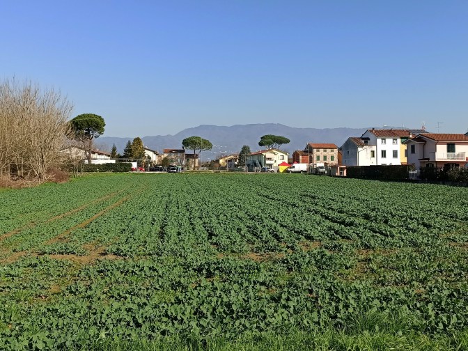
    A green field on the plain east of Lucca, with houses, umbrella pines and mountains behind
    Green fields on the plain east of Lucca, with the mountains behind
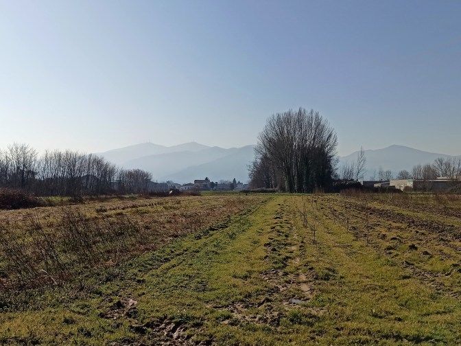
    A grassy track across winter fields on the Lucca plain, with bare poplars and hazy mountains to the north
    A grassy track across winter fields on the Lucca plain

    Capannori

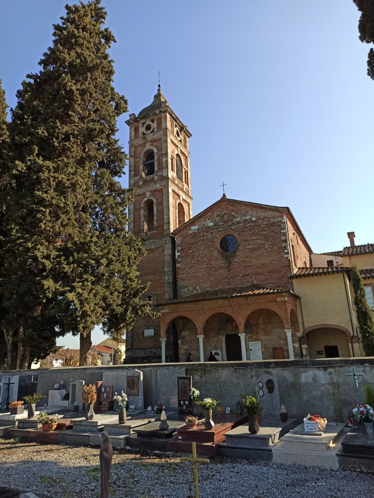
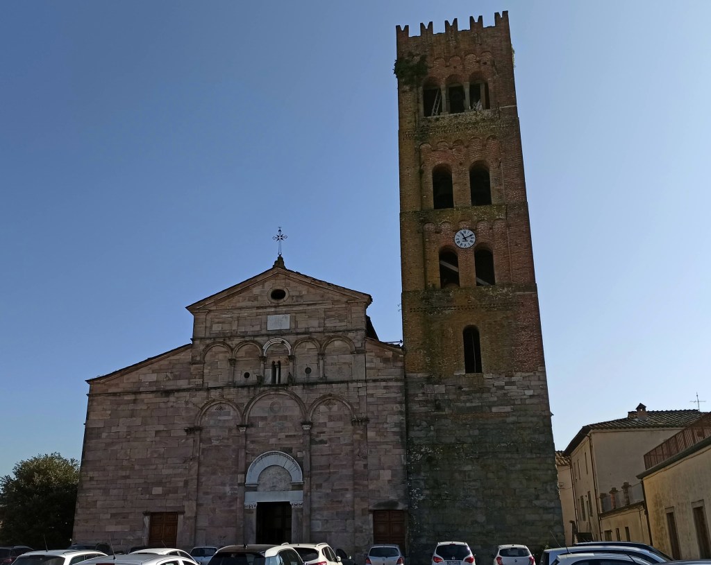
    San Michele Arcangelo emerges soon after, its 8th-century origins clad in a 12th-century shell, beside a cemetery hushed by time. Capannori follows, where the 12th-century Santi Quirico e Giulitta stands solemn; pilgrims carrying a credential (pilgrim passport) can claim a stamp at one of the welcome offices in town. The route skirts north to avoid Via Romana’s clamor, passing through Porcari’s industrial flats—less inspiring, but fleeting. Via Romana Ovest redeems the trek, and a detour to San Giusto rewards with its 19th-century marble facade and vistas back to Lucca’s distant towers.

    The church of San Giusto with its marble facade
    San Giusto
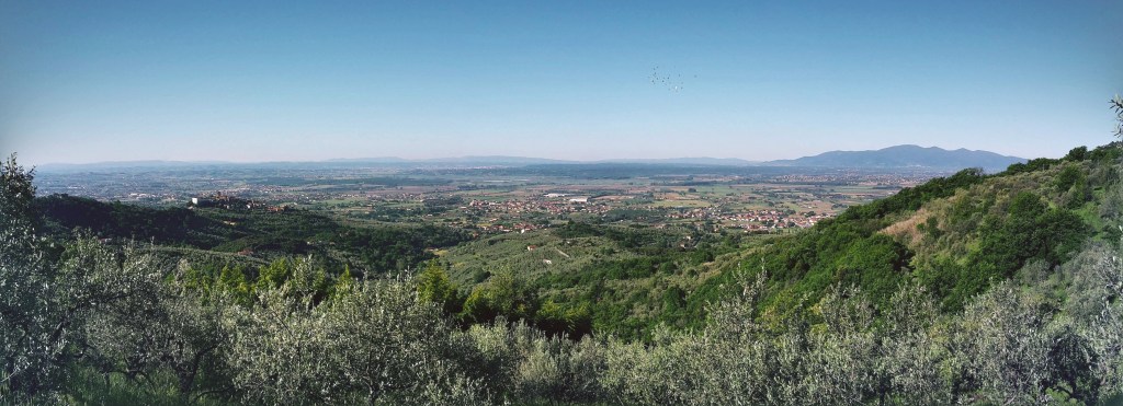
    View over Porcari toward Monte Pisano
    View of Porcari and Monte Pisano

    Altopascio

    Altopascio arrives understated yet charming. In Badia Pozzeveri, the abandoned San Pietro abbey broods near modern storefronts, but the town’s core—a medieval well, gothic loggia, and the Romanesque Santi Jacopo, Cristoforo ed Eligio—hints at its pilgrim past. The train station sits just beyond, ready to whisk you back to Lucca or Florence.

    Arriving at the abbey of San Pietro in Badia Pozzeveri
    Arriving at the Abbey of San Pietro

    This walk didn’t stir the medieval fervor I’d imagined, but it carried me through layers of history all the same. The Via Francigena endures—not in grand gestures, but in these enduring stones and silent views. Have you walked its paths? I’d welcome your tales.

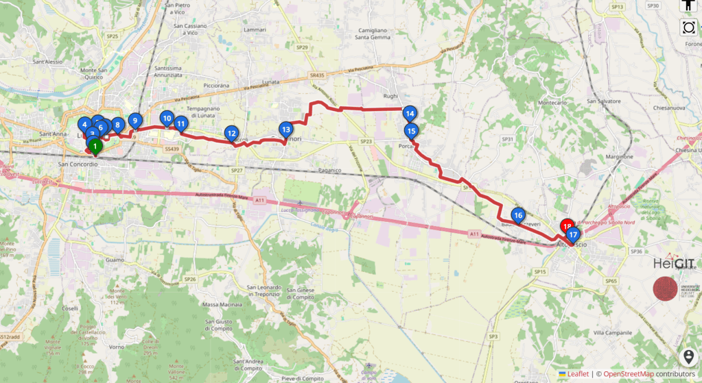
    Route map of the Via Francigena walk from Lucca through Capannori and Porcari to Altopascio
    Route: Lucca – Capannori – Porcari – Altopascio

    Lucca – Capannori – Altopascio

    Duration: about 4h10
    Distance: 21 km (13 mi)
    Elevation gain: mostly flat (the official Lucca–Altopascio stage lists about +52 m (+171 ft) / −62 m (−203 ft): Vie Francigene stage page)
    Difficulty: Easy: mostly flat and along paved roads
    Best season: I’d avoid summer and hot, sunny days, since there’s little shade and few places to refill water. It makes a great winter walk, and early spring or late fall work well too

    Arrive: regional trains run from Firenze Santa Maria Novella to Lucca, either via Pistoia and Montecatini or via Pisa, taking roughly 1h20 to 1h45 depending on the train. The fastest are the hourly regional trains to Viareggio that stop in Lucca, at about 1h20. From Lucca station, cross the road and enter the walls through Porta San Pietro.
    Depart: Altopascio station is on the Lucca–Pistoia–Florence line. Direct regional trains run to Lucca (about 10–20 minutes) and to Firenze Santa Maria Novella (about 1h10–1h30, via Montecatini, Pistoia and Prato).

    Tickets: buy a regional ticket on the Trenitalia app or at the station machine before boarding, and check trenitalia.com for current times and tickets.

    Train times change, so if you spot a schedule change or a new detour on the route, please let me know in the comments. It helps the next walker!

    Tips for the walk

    • Follow the Via Francigena waymarks: the little pilgrim figure on signposts and red-and-white stickers. A GPS track on your phone helps through the busier stretches around Capannori and Porcari
    • If you are collecting pilgrim stamps, you can get them in Lucca, Capannori and Altopascio along the way
    • Altopascio grew around a medieval hospital for pilgrims, and its bell, called La Smarrita, used to ring in the evening to guide travelers lost on the plain. Altopascio is also known as the “Città del Pane” (City of Bread), and its bread is tied to the story of the Francigena and the pilgrims who passed through, so pick up a loaf before the train, like a good pilgrim
    • I packed my own lunch and ate along the way, so bring food and plenty of water

    This stretch of the Via Francigena wasn’t as exciting as I expected, but I still look forward to discovering other parts of it. There’s no lack of beautiful trails along the way.

    Want more walks you can reach by train from Florence? Try my Monte Pisano hike from Lucca along the Nottolini aqueduct, which starts from the same station, or browse my guide to day hikes from Florence without a car.

  • Day Hikes from Florence Without a Car (by Train and Bus)

    Day Hikes from Florence Without a Car (by Train and Bus)

    People often ask me if you need a car to hike around Florence. You don’t! Almost every hike on this blog starts and ends at a city bus stop or a train station, many of them less than an hour from Santa Maria Novella. Here are my favorite day hikes from Florence, Italy, grouped by area, with how I got to each trailhead.
    Bus and train details checked in November 2026; timetables change, so check Autolinee Toscane and Trenitalia before you go.

    Bus and train timetables in Tuscany change often. If you find that any of the lines or stops in this guide have changed, please let other hikers know in the comments below!

    Walks starting right in Florence

    Bellosguardo, Marignolle and Soffiano

    My morning loop in the Oltrarno, outside the city walls, with views of the Duomo that most visitors never see.

    • Distance/time: 8.1 km (5 mi), about 2 hours, loop from Via di Monte Oliveto
    • Getting there: bus 12 from the Lungarno by Ponte alla Carraia (stops Soderini Torrino Santa Rosa or Lungarno di Santa Rosa), get off at Sanzio
    • Read the full hike →

    Arcetri, Boboli and Pian dei Giullari

    A panoramic loop over the Oltrarno hills from Porta Romana, a quiet escape from Florence’s Sunday crowds.

    • Distance/time: 12.4 km (7.7 mi), about 3h30, loop from Porta Romana
    • Getting there: bus 11 from the Santa Maria Novella area to Porta Romana (Autolinee Toscane line 11 stops on Via Romana)
    • Read the full hike →

    Along the Arno to Rovezzano and the Albereta park

    An easy riverside walk that shows Florence from below, from Ponte San Niccolò and back.

    • Distance/time: 9.5 km (6 mi), about 2h15 (13.2 km (8.2 mi) with the Florence War Cemetery detour)
    • Getting there: a short walk from Santa Croce and the Duomo, or bus 23 (stops Piazza Piave or Zecca Vecchia Cavalleggeri) or C4 (Serristori Piazza Poggi) to Ponte San Niccolò
    • Read the full hike →

    The Florentine countryside and Chianti hills

    Galluzzo and Impruneta

    Olive groves, the Certosa del Galluzzo and the edge of terracotta country, starting (believe it or not) at a McDonald’s on Via Senese.

    • Distance/time: 10 km (6.2 mi), about 2h30, loop from Via Senese (Due Strade)
    • Getting there: bus 11, 36 or 37 from the Santa Maria Novella area to Due Strade/Via Senese (all three still stop there)
    • Read the full hike →

    Anello del Rinascimento, part 3: Pontassieve to Impruneta

    Lush Chianti Colli Fiorentini hills with some of the best views of Florence, in two stages.

    • Distance/time: 12.5 km (7.8 mi) Pontassieve–San Donato in Collina + 17.7 km (11 mi) San Donato–Impruneta
    • Getting there: about 30 minutes by train from Santa Maria Novella to Pontassieve; back from San Donato in Collina on line 351A to Florence (Coluccio Salutati stop), Monday to Saturday only, with no Sunday service, so check the timetable; from Impruneta, lines 39A/39B run direct to the Autostazione by Santa Maria Novella, or take line 65 to Galluzzo and change to bus 11, 36 or 37
    • Read the full hike →

    Anello del Rinascimento, part 4: Impruneta to Signa

    From terracotta Impruneta past the Certosa to the Arno at Signa.

    • Distance/time: 6.9 km (4.3 mi) Impruneta–Galluzzo + 23 km (14.3 mi) Galluzzo–Signa
    • Getting there: lines 39A/39B direct from the Autostazione by Santa Maria Novella, or bus 11/36/37 to Galluzzo and change to line 65; city bus 11 to Galluzzo; train back from Signa
    • Read the full hike →

    North of Florence: Monte Morello, the Mugello and the Apennines

    Monte Senario and the Way of the Gods

    From Campo di Marte up to the Monte Senario monastery and down to Vaglia, partly on the Via degli Dei.

    • Distance/time: 24 km (15 mi), about 5h30, one way
    • Getting there: bus 11 toward Salviatino to the start near Viale Augusto Righi; train back to Florence from Vaglia station
    • Read the full hike →

    Anello del Rinascimento, part 1: Signa to Vaglia

    The start of the 170 km (105 mi) ring: along the Bisenzio to Calenzano, then over Monte Morello.

    • Distance/time: 14 km (8.7 mi) Signa–Calenzano + 21.1 km (13.1 mi) Calenzano–Vaglia
    • Getting there: every stage starts and ends at a train station, 20–30 minutes from Santa Maria Novella
    • Read the full hike →

    Anello del Rinascimento, part 2: Vaglia to Pontassieve

    Rustic Mugello countryside and the banks of the Sieve, home turf of the Medici.

    • Distance/time: 16 km (10 mi) Vaglia–Santa Brigida + 13.5 km (8.4 mi) Santa Brigida–Pontassieve
    • Getting there: train to Vaglia; line 330C between Santa Brigida and Florence, or 331B/331C to Pontassieve (only a few runs a day); train back from Pontassieve
    • Read the full hike →

    The SO.F.T. trail: San Piero a Sieve to Vernio

    A long, tough day on the Sorgente di Firenze trail through the high Tuscan Apennines.

    • Distance/time: 34.5 km (21.4 mi), about 8h15
    • Getting there: about 30 minutes by train to San Piero a Sieve; regional train back from Vernio via Prato, about 1 hour
    • Read the full hike →

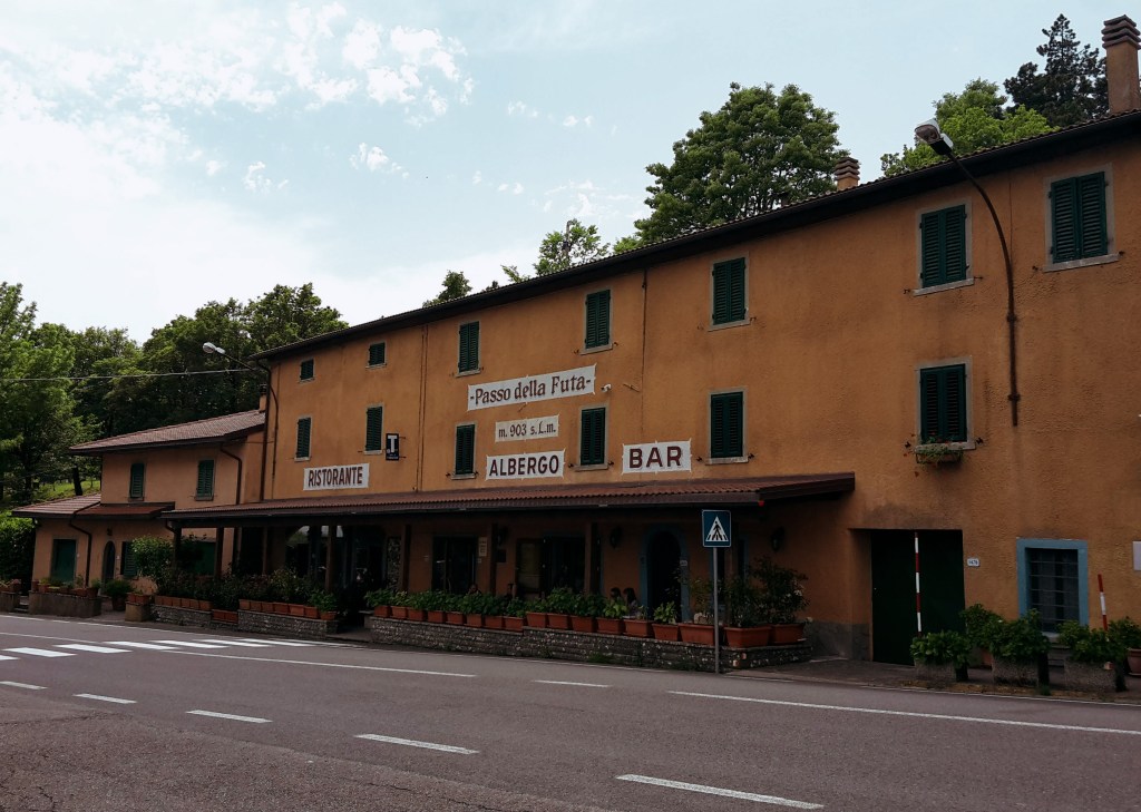
    Passo della Futa

    Gothic Line history and big Apennine views, from Vernio to the pass on the SO.F.T. and Via degli Dei.

    • Distance/time: 18.3 km (11.4 mi), about 4h15
    • Getting there: about 40 minutes by train to Vernio; from Monte di Fo’, lines 301/304 go to Barberino di Mugello or San Piero a Sieve; change at Barberino for a bus to Florence or at San Piero a Sieve for the train
    • Read the full hike →

    West of Florence: the Montalbano hills and Monte Pisano

    Montalbano and the Misty Valley

    Serravalle Pistoiese to Montevettolini and Monsummano Terme, above the Valdinievole.

    • Distance/time: 15.3 km (9.5 mi), about 3h30
    • Getting there: 30 minutes by train to Pistoia, then line 53, 63 or SER from Pistoia station to Serravalle Pistoiese (about 15 minutes); line 53 from Monsummano Terme back to Pistoia station, then the train to Florence
    • Read the full hike →

    Through the Montalbano to Vinci

    Historic towns, roasted chestnuts and great wine on path CAI 300, ending in Leonardo’s hometown.

    • Distance/time: 35 km (21.7 mi), about 8h45 (shorter options via San Baronto or Lamporecchio)
    • Getting there: train to Pistoia, then bus to Serravalle; from Vinci take bus line 49 to Empoli, then the train to Florence
    • Read the full hike →

    Monte Pisano and the Nottolini Aqueduct

    An easy hike from Lucca along the 19th-century aqueduct to Vorno.

    • Distance/time: 17.9 km (11.1 mi), about 4h15, loop
    • Getting there: train to Lucca; the walk starts from the south exit of the station
    • Read the full hike →

    Via Francigena: Lucca to Altopascio

    A flat, practical stretch of the pilgrim road across the Lucca plain—Romanesque churches and stamps for your credential, but not postcard country.

    • Distance/time: 21 km (13 mi), about 4h10, one way
    • Getting there: about 1h20 by regional train from Santa Maria Novella to Lucca (hourly trains toward Viareggio); train back from Altopascio to Florence in about 1h10–1h30 via Pistoia
    • Read the full hike →

    Before you go

    Paper bus tickets are harder to find these days, but you rarely need one: on Florence city buses, just tap a contactless card when you board to buy a 90-minute ride, and on intercity Autolinee Toscane lines tap in when you board and tap out when you get off. You can also buy and validate rides in the at bus app. Validate train tickets if they’re paper. Check the last bus back, since rural lines can be sparse on Sundays. Have you done any of these hikes without a car? Tell me in the comments!

  • Montalbano Hills, Tuscany: Hiking CAI 300 to Vinci

    Montalbano Hills, Tuscany: Hiking CAI 300 to Vinci

    The Montalbano mountains are a part of Tuscany that I thoroughly enjoy. Populated by charming towns filled with history, they are easy to reach from Florence and offer a 32.2 km (20 mi) hike on path CAI 300, with several other side trails. CAI 300 starts from Serravalle Pistoiese, through the northern area which I covered on a previous post about Montalbano and the Valdinievole. Now, I’ll focus on its central section, between San Baronto and Vinci.

    Wide view over a city and plain below green hills
    Wide view over a city and plain below green hills

    CAI 300 to San Baronto

    The initial hike follows Via Monte uphill for an hour, then it gradually descends to I Papi. Every now and then, we get an opening through the oak and chestnut trees to admire the beautiful panoramas surrounding us: Pistoia and the Abetone mountain area to the north; Valdinievole and the Fucecchio Marshes to the southwest. In fall, the dirt trail gets covered with chestnuts, and you may cross paths with one or more locals gathering them.

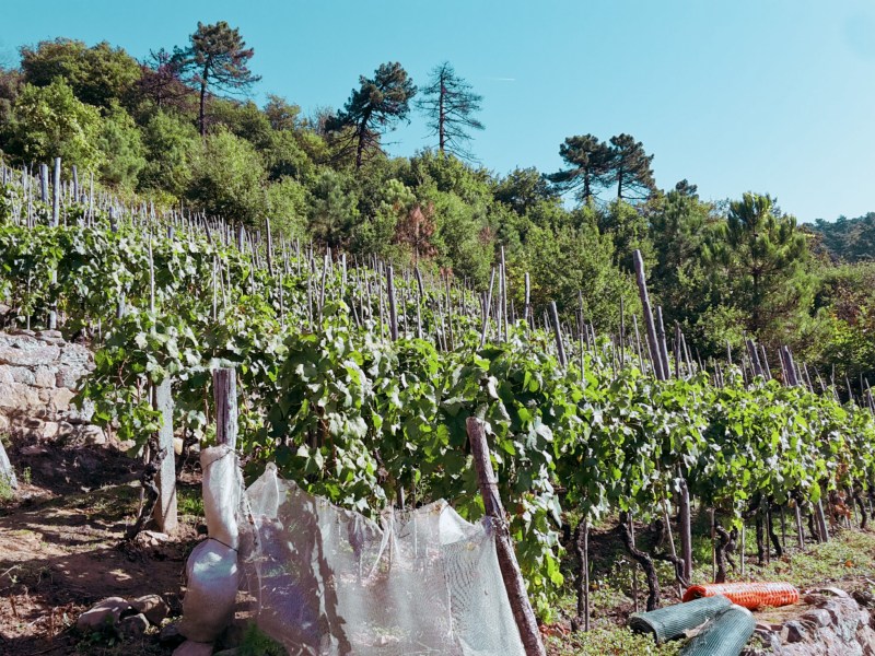
    From I Papi, we head east on the provincial road along an olive grove to soon find a trail sign for Casa al Vento. We go uphill to Monte Rocchina and Monte Cupoli, where the chestnut woods thicken, blocking the view of the Apennines but offering a shaded and lush hike. We proceed on Via Sanbarontana through a sparsely populated area covered by Sangiovese vineyards. These grapes will be transformed in exquisite wine varieties such as Chianti Montalbano and Carmignano. A small subzone of Chianti, Montalbano produces a lighter wine, less tannic and fruitier than a Chianti Classico in my opinion. This wine isn’t readily found outside Tuscany, so enjoy it while you’re here!

    We cross the community of Mungherino and pause once more to gaze at the striking panorama of the Abetone and Pistoia down below. Soon after we pass the large campsite area of Barco Reale, we head down in Via del Corso to reach San Baronto. The delightful church dedicated to the 8th century benedictine monk who lived in this area was partially destroyed during WW2. Fortunately, its medieval crypt survived with some of the original columns, zoomorphic capitals and colorful frescoes.

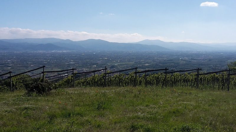
    Vineyard with a view over the plain to distant hills
    Vineyard with a view over the plain to distant hills

    From San Baronto, we can continue on CAI 300 to Torre di Sant’Alluccio and soon encounter the remains of 17th century walls that enclosed the Barco Reale. These were the hunting grounds of the Medici Grand Dukes, home to wild boar, pheasant, hare, partridge, grouse and other game, some of which still roam these woods. Another worthwhile option is to spend some time exploring the side trails, especially n. 20, 18, 16, and 14, and discover historical sites like Lamporecchio, Sant’Amato and famous Vinci.

    Lamporecchio and Porciano

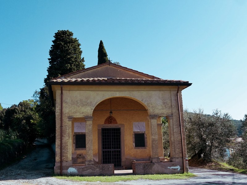
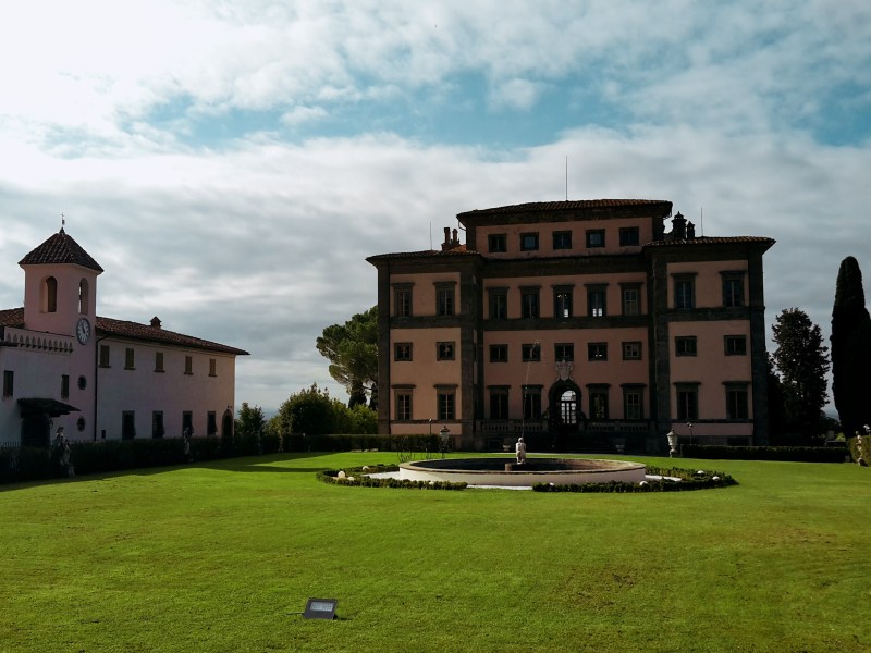
    CAI 20 descends from San Baronto to Lamporecchio for about an hour, 4.8 km (3 mi). From the church square, we go down on Via dell Chiesa, then Via Pio La Torre, crossing the main road (Via Sambarontana) to reach the oratory of Madonna delle Grazie. The grassy path proceeds to Spicchio, where we are welcomed by a gorgeous view of the elegant Villa Rospigliosi. Commissioned in the 17th century by Pope Clement IX to the amazing artist Gian Lorenzo Bernini, the villa doesn’t have regular visiting hours but you can enjoy a stroll on its grounds if the gate is open.

    Further down, quaint Lamporecchio awaits. We follow Via Ventura Vitoni to pass the church of Santo Stefano, which houses a 16th century glazed terracotta masterpiece by Giovanni della Robbia. Then, we hike up again towards Papiano on Via di Capalle (CAI 18C). The surrounding territory is gorgeous, a mix of established vineyards, pristine woods, rustic towers and the open marshes below. We get out of the road taking the left path on a fork, which is the Via Vecchia Maremmana. At the top of the road, dominating the scenery is Villa di Papiano, also called Villa dell’Americana because Laura Merrick, daugther of a wealthy American industrialist, purchased and restored it in 19th century.

    We continue on Via di Montalbano, a provincial road, to soon arrive in Porciano, where we enjoy the 13th century church of San Giorgio coupled with a terrific panoramic view. After a well-deserved pause, up we go again on Via Poggio alla Baghera, passing by a 12th century tower before getting on a dirt trail and re-encountering CAI 300.

    Sant’Amato and Vinci

    Another beautiful part of this territory, the area around Vinci has plenty of charm, history and mysticism. Vineyards and olive tree cover the lower hills, while ritual stones mark ancient Etruscan sites higher up in the mountains. Vinci and Anchiano, the birthplace of Leonardo, take us back to the days of the Renaissance.

    On a short trail off CAI 300, before we reach Torre di Sant’Alluccio, we find the Sasso di Pietra, a massive boulder used by the Etruscans probably as ceremonial grounds. In the winter, climbing the stone offers a spectacular view of the valley below; in the summer, the thick chestnut woods completely block the panorama. From Torre di Sant’Alluccio, an abandoned 12th century tower and hospital, we take CAI 14 down to Santa Lucia.

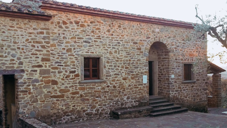
    Instead of heading straight down to Anchiano, I suggest branching out on CAI 16 and 16B, a gentle trail through more chestnut woods that will take us to sleepy Sant’Amato and its lovely 12th century church from where we can gaze at the gorgeous panorama of Valdinievole. We continue downhill on CAI 16B, enjoying the views and the quiet on the way to Anchiano. Here, a simple stone building serves as a museum dedicated to the Renaissance genius. The house is considered as the birthplace of Leonardo although the historical documentation is inconclusive.

    We are back on CAI 14 and about 20 minutes away from Vinci. The descent offers a pleasant hike through olive groves and an evocative view of the town, marked by the Guidi castle and the bell tower of Santa Croce church. If you want to learn more about Leonardo, Vinci has a few museums that are worth visiting, which will give you an insight on his contribution to the arts, sciences and the humanistic philosophy of the 16th century.

    I hope the post helped you learn more about this beautiful territory! Next time, I’ll explore the southern part of Montalbano, with Carmignano, Artimino and the Etruscan site of Pietramarina.

    Trail map from Serravalle to Vinci with an elevation profile
    Trail map from Serravalle to Vinci, with the elevation profile

    Serravalle Pistoiese – San Baronto – Vinci

    Duration: 8h45
    Distance: 35 km (21.7 mi)
    Trails: CAI 300

    Arrive: Serravalle Pistoiese (train to Pistoia, then bus)
    Depart: Vinci (bus to Empoli, then train to Florence)

    If you’d like to shorten the hike, you could take the bus from San Baronto or Lamporecchio either to Pistoia or Empoli, and then head back to Florence.

    Bus and train timetables in Tuscany change often. If you find a line has changed or a stop has moved, please let other hikers know in the comments below!

    Planning more hikes without a car? See my guide to day hikes from Florence by train and bus.

    Please share your thoughts on how I can make this website better!

    Related hikes: Monte Pisano aqueduct · Montalbano and the Misty Valley

    Walked CAI 300 to Vinci, or stopped for chestnuts and wine along the way? Tell me in the comments.

  • Passo della Futa Hike: Gothic Line and Apennine Views

    Passo della Futa Hike: Gothic Line and Apennine Views

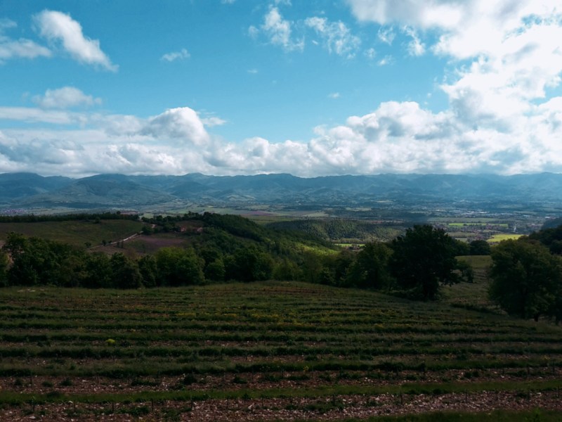
    This part of the Mugello and lower Apennines is extremely beautiful and served by several trails. Along the way, we hike through the Gothic Line, the Nazi defensive line during WW2 now turned into a memorial park. I decided to continue on the SO.F.T. trail, following the main ring from Le Soda to Passo della Futa, which also overlaps with parts of the Way of the Gods (Via Degli Dei) and the Wool and Silk Road (Via della Lana e della Seta). However, to get to Le Soda, we start with a brisk uphill from Vernio mostly on a narrow path after we leave the town.

    Toward Poggio de’ Prati

    Once we pass the little house with goats and barking dogs (they give the alert but don’t come near you), we soon reach Le Soda and the junction of the trail heading north towards Poggio de’ Prati, 927 m (3,041 ft). It’s very important to not lose the trail, so keep looking for the AP mark, meaning Anello Principale (main ring). In this area, there is also a smaller loop trail marked as A10 which takes you on a different direction. When you’re close to Quattro Strade take the path that leads to Roncobilaccio and the Santuario of Bocca di Rio. Eventually, you’ll find the post for path CAI 00 pointing to Passo della Futa, about 2:30h away.

    The Gothic Line

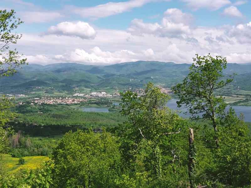
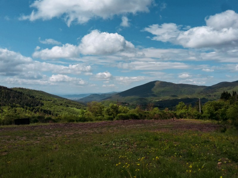
    The trail along the park of the Gothic Line is very peaceful, immersed in a gorgeous beech forest. As I walked on this trail, I couldn’t help thinking how different it must have been in 1944. The history of WW2 is marked along the way on plaques and commemorative stones. You can feel the energy of the place in the air and the unusual silence completes the mood. At a few spots, the forest opens to a spectacular panorama of the Mugello valley below and the man-made Bilacino lake shines against the sky.
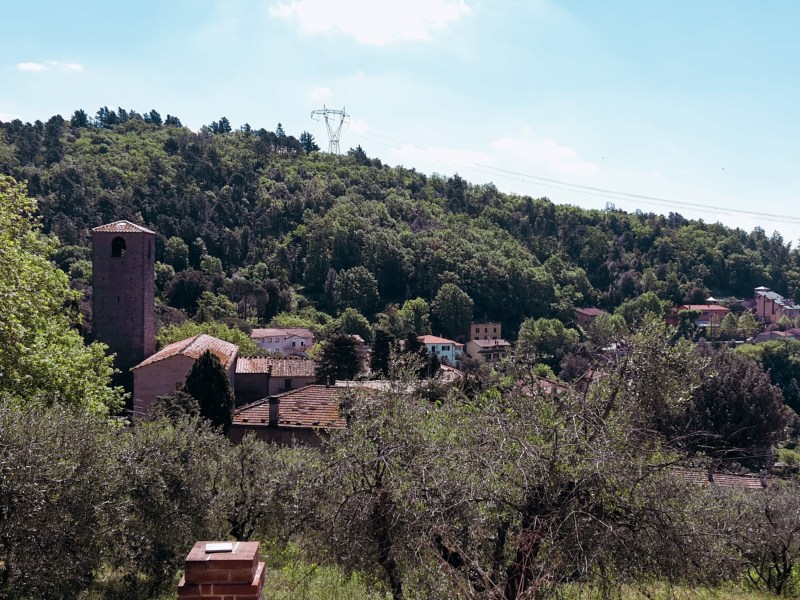
    Forested mountains seen between trees
    Panorama from Monte Citerna

    Monte Citerna and Passo della Futa

    Once we get out on the asphalt road (Via Citerna), Passo della Futa is only 4.8 km (3 mi) away. Here, we have two options – take the easy route on asphalt along the Mugello scenery; or, hike up the wooded path to Monte Citerna, 958 m (3,143 ft), the most challenging part of this trail. In the summer, it gets overgrown with nettle and poison ivy, so avoid this trail if you are allergic (luckily, I’m not).

    By Passo della Futa, we find the cemetery for the German soldiers who died around this area during WW2. There are over 30,000 soldiers buried here, a stark reminder of what this continent went through not long ago and hopefully a lesson that won’t be forgotten. Very heavy energy fills the area, and the cold Apennine winds send chills down your spine. While processing all these emotions, I enjoyed the fantastic views of the surrounding mountains. The S.O.FT trail and the Way of the Gods continue towards east. But my day was done, from Passo della Futa, it was an easy downhill to Monte di Fo’ on CAI 52 where you could spend the night, or – in my case – take the bus back to Florence. (Update, November 2026: from Monte di Fo’, lines 301/304 go to Barberino di Mugello or San Piero a Sieve; change at Barberino for a bus to Florence or at San Piero a Sieve for the train. Check Autolinee Toscane before you go.)

    Trail map from Vernio to the Passo della Futa with an elevation profile
    Trail map from Vernio to the Passo della Futa, with the elevation profile

    Vernio – Monte Citerna – Passo della Futa

    Duration: 4h15
    Distance: 18.3 km (11.4 mi)
    Trails: SO.F.T. and the Via degli Dei (Way of the Gods)

    Arrive: Vernio (by train). From Firenze SMN train station take the regional train to Vernio via Prato (about 1 hour)
    Depart: Monte di Fo’ (by bus). Back from Monte di Fo’: lines 301/304 to Barberino di Mugello or San Piero a Sieve, then change at Barberino for a bus to Florence or at San Piero a Sieve for the train.

    Bus and train timetables in Tuscany change often. If you find a line has changed or a stop has moved, please let other hikers know in the comments below!

    Planning more hikes without a car? See my guide to day hikes from Florence by train and bus.

    I hope you enjoyed this post! Please leave your comments so I can improve this site!

    Have you visited the Futa Pass and the Gothic Line memorial? Share your thoughts in the comments.

  • SO.F.T. Trail, Mugello: Hiking the Tuscan Apennines

    SO.F.T. Trail, Mugello: Hiking the Tuscan Apennines

    I’m very excited to explore a hiking trail that long has been in my ‘to do’ list. It’s called Sorgente di Firenze, or SO.F.T., but don’t let this acronym fool you. This isn’t a beginners’ hike since this 185 km (115 mi) loop around the Mugello takes us through some of the highest Apennine peaks in Tuscany on its eastern tract.

    San Piero a Sieve and Trebbio

    So, I’m starting it easy, from the delightful town of San Piero a Sieve, a half hour north of Florence. We’re in the heart of the Mugello, a romantic countryside with an important history. Here is where the Medici family started its ascension to wealth in the 13th century as wool merchants and their fingerprint is noticeable throughout the hike. Leaving the train station, we head towards the 10th century church of San Pietro. If open, I’d recommend you take a peek inside: it houses a beautiful 16th century baptismal font in glazed terracotta by Giovanni della Robbia. The trail goes up on Via della Compagnia, then onto Via della Fortezza named after the Medici fortress of San Martino. Unfortunately, the fortress is closed to the public, so only take the 5-min detour to check it out if you are interested in seeing its impressive walls. Their perimeter reaches 1.6 km (1 mi), with 145,000 square feet of brick, and you can walk all around it.

    Following the dirt path (or mud, after rain), we move west passing a campsite and soon cross a provincial road to proceed towards Trebbio. We enjoy a gorgeous view of the Apennines and the neighborhood of San Giusto a Fortuna as we go up. An elegant road flanked by cypress trees welcomes us to the Medici villa of Trebbio, one of the first in a series of magnificent properties owned by the famous family. Giovanni dei Bicci lived here in the 14th century, and it was remodeled in the 15th century by Michelozzo by order of Cosimo the Elder. Although listed as a UNESCO World Heritage Site, the villa is privately owned and not open for regular visits. The front gate allows us to peak at the decayed facade, and we can enjoy the rest of the estate, including a delightful chapel backed by a stunning panorama of green hills and the community of Campomigliaio to the south.

    Town of Barberino and Lake Bilancino below green mountains
    Town of Barberino and Lake Bilancino below green mountains

    We continue west on a rocky path that will take up to Poggio di Cigoli, 575 m (1,886 ft) before heading down to Croce di Calenzano on a pleasant rural landscape. Along the way, we get a glimpse of the lake of Bilancino and Barberino di Mugello on its shores but the numerous oak trees populating the hill don’t allow for an open view of this man-made lake and the surrounding Apennines. Arriving in sleepy Croce di Calenzano, we follow north on Via di Barberino and cross it to find path CAI 44 in Via di Montemaggiore. Prepare for a good uphill hike ahead until we reach Monte Maggiore, the highest point of the Calvana mountains at 916 m (3,005 ft).

    Meadow with wildflowers below green hills under a cloudy sky
    Meadow with wildflowers below green hills under a cloudy sky

    Monte Maggiore and the Calvana

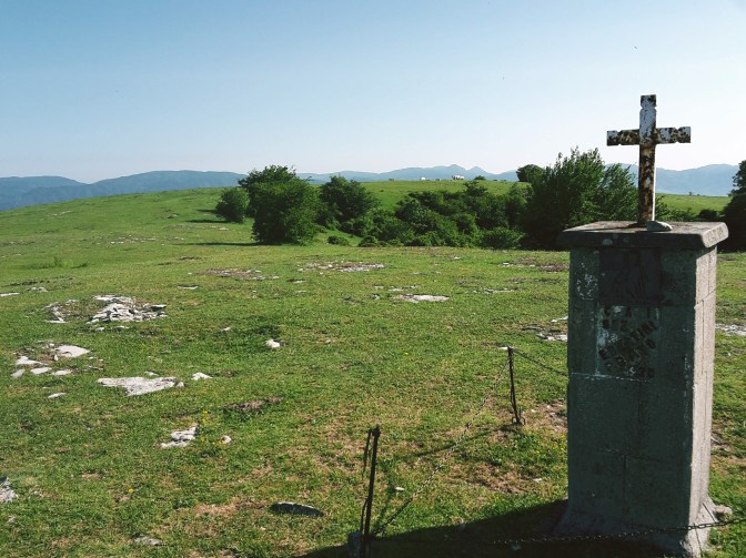
    The initial uphill is on the road, Via Montemaggiore, before we find the trail post sending us on a pleasant wooded trail. The Calvana preserve is home of boar, ferret, marten and wolf, although what I often spot is the capriolo, a type of deer very common in Tuscany. After passing the shelter, we soon leave the pine and oak woods into a clearing. Note the trail mark on a flat stone on the grass that points to the right towards the pines, which we quickly cross to reach a vast grassland. We continue uphill to soon spot a cross that marks the top of Monte Maggiore.
    Often you’ll encounter Calvanina cattle and wild horses grazing in the area. They keep the grass level under control, but on the other hand, horseflies abound in the hot months. Unless you cover yourself with DEET, it becomes very difficult to spend quality time up here. We can enjoy fantastic views of the Mugello, Bilancino Lake and the Apennines to the east; the town of Vaiano and the Pistoiese mountains to the west; and the Florentine valley to the south.

    Grassy mountain meadow with ridges beyond
    Grassy mountain meadow with ridges beyond

    We head north towards another wooded area. Path CAI 20 is very wide and shaded as we progress to Montecuccoli, which makes for a very enjoyable hike. This is also part of the Road of the Silk and Wool, a 5-day trail connecting Bologna to Prato through the Apennines. The more we hike around here, the more there is to discover. In Montecuccoli, a 5-minute detour takes us to the charming church of San Michele Arcangelo, a real treat if open. It’s another 10 km (6.2 mi) of little variation in altitude until we approach Le Soda.

    Down to Vernio

    Although the SO.F.T. trail continues to Passo della Futa and beyond, I had enough hiking for a day and I’m ready to head down to the train station in Vernio. We leave path CAI 20 to a fast and steep downhill on CAI 60, passing by a private property (and goats!) before we reach the neighborhood of San Quirico. If you still have energy on the way to the train station, you can take some time to wander around this lovely town, crossed by the Bisenzio river (the same one that we find in Prato and along the Renaissance Road) and its tributary Fiumenta.

    Wooded valley with a town below the mountains
    Wooded valley with a town below the mountains

    Thank you for reading! Please share your comments!

    Trail map of the SO.F.T. trail with an elevation profile
    Trail map of the SO.F.T. trail, with the elevation profile

    S. Piero a Sieve – Monte Maggiore – Vernio

    Duration: 8h15
    Distance: 34.5 km (21.4 mi)
    Trails: SO.F.T. (Sorgente di Firenze)

    Arrive: San Piero a Sieve (by train). 30-min train ride from Santa Maria Novella train station
    Depart: Vernio (by train). Back from Vernio: regional train via Prato, about 1 hour.

    Bus and train timetables in Tuscany change often. If you find a line has changed or a stop has moved, please let other hikers know in the comments below!

    Planning more hikes without a car? See my guide to day hikes from Florence by train and bus.

    Related hikes: Monte Senario · Renaissance Ring 2: Mugello

    Tried the SO.F.T. trails or the climb to Monte Maggiore? Leave a comment with how it went, or any trail updates for other hikers.

  • Monte Pisano Hike from Lucca: the Nottolini Aqueduct

    Monte Pisano Hike from Lucca: the Nottolini Aqueduct

    After years of living in Tuscany on and off, I’ve had the opportunity to visit Lucca several times. Surrounded by 16th century walls that run for almost 4.8 km (3 mi), this enchanting medieval town is worth exploring all on its own. But, this time I want to discover a completely new area, which will take us towards Monte Pisano following the 19th century aqueduct built by Lorenzo Nottolini.

    The Nottolini Aqueduct

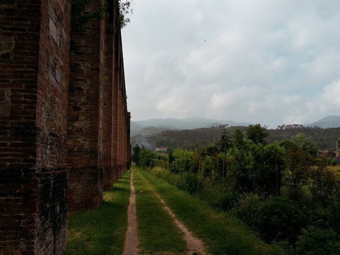
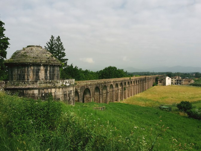
    To reach the start of our hike, we exit the train station to the opposite side of the city center and get to Via del Tempietto. The Tempietto di San Concordio, meaning “Little Temple”, is in fact a cistern to collect the water from the aqueduct before a complex pipe system would transport it to Lucca. The aqueduct was built during the rule of Maria Luisa of Spain and it was active for over a century, until when the expansion of the highway connecting Florence to Pisa led to the destruction of several arches and the interruption of the water flow. Luckily for us, a pedestrian overpass allows for a safe cross to the other side of the highway.

    The path follows the arches of the aqueduct for another 1.6 km (1 mi) cutting through roads and neighborhoods. Every now and then, locals fill their bottles and gallons with pure water from strategically placed public fountains. Although the historical aqueduct was deactivated, the water from Monte Pisano still flows to Lucca through a modern water supply system. We arrive at the second Tempietto (di Guamo), which would collect the waters coming from further up the mountain. Going around it, the trail breaks into two options leading to Vorno: a direct uphill on the Francigena pilgrimage route, going through the woods and a dirt road that offers a great view of vineyards on the surrounding hills; or following the underground line of the aqueduct to Parole d’Oro, a very interesting site where we can appreaciate the work needed to canalize the waters pouring down the mountain (although it’s mostly dry nowadays). No matter which one you choose, you can always take the other path on the way back to Lucca.

    Vorno and Monte Pisano

    We reach Vorno meandering on Via di Valle while enjoying a lush landscape of chestnut, pine and oak trees covering the surrounding mountains. Vorno is cozily nestled in a green and humid valley underneath Monte Pisano and as we go down towards the center of town, the view of the peaks of Monte Faeta, 830 m (2,723 ft) and Sant’Allago, 870 m (2,854 ft) makes for an impressive welcome. Vorno itself is very charming, you can see that locals take pride of where they live, everything is so clean, houses are well kept with well-tended gardens. Water is everywhere, you can feel the cool breeze coming from Vorno river and there are public fountains where you can refill your water bottles. The elegant church of San Pietro dates back to 867 and you can take a short walk around town to see its several villas turned into rentals for summer vacationers and events.

    From Vorno, there are many trail options to reach the highest peaks in the area, including Monte Serra, 917 m (3,009 ft), or continue all the way to Pisa following the Aqueduct Road or the trail dedicated to Matilda of Tuscany, who ruled over Tuscany in the 11th century. This is just an exploratory incursion, but we’ll be back here for more. On the way back to Lucca (or on the way to Vorno, if you go by Parole d’Oro), make sure you walk to the astronomical observatory on top of Via di Valle from where you have a stunning view of Lucca and the Apuan Alps behind it.

    I hope you enjoyed reading this post! Come back for more and let me know how I can improve it!

    Trail map from Lucca to Vorno with an elevation profile
    Trail map from Lucca to Vorno, with the elevation profile

    Lucca – Vorno – Lucca

    Duration: 4h15
    Distance: 17.9 km (11.1 mi)

    Arrive / Depart: train to Lucca, the walk starts from the south exit of the train station.

    Bus and train timetables in Tuscany change often. If you find a line has changed or a stop has moved, please let other hikers know in the comments below!

    Planning more hikes without a car? See my guide to day hikes from Florence by train and bus.

    Related hikes: Montalbano and the Misty Valley · Montalbano to Vinci

    Have you followed the aqueduct out of Lucca? Share your tips in the comments, or ask me about the route.

  • Arno River Walk in Florence: Rovezzano and Albereta

    Arno River Walk in Florence: Rovezzano and Albereta

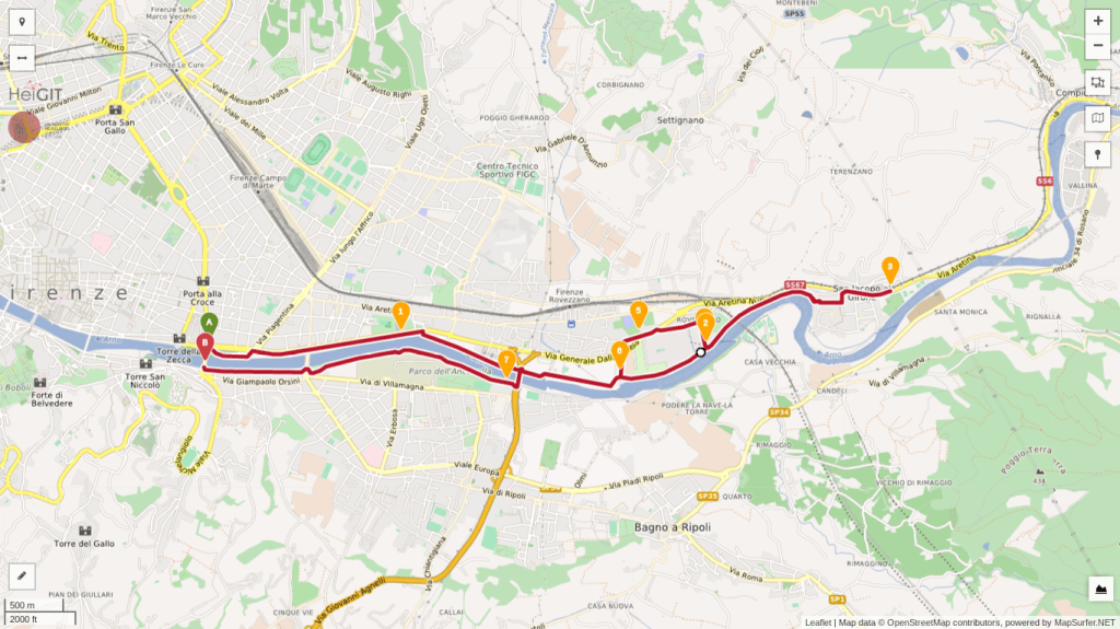
    Another regular walk of mine goes along the Arno river towards the neighborhood of Rovezzano, then crossing the river to the Albereta park and back to Ponte San Niccolò. This is a pleasant hike during partially cloudy days, as sunny and hot weather may become challenging due to the lack of shade by the river banks. My favorite characteristic about this path is seeing Florence from underneath, by the banks of the Arno. While some tourists take a peculiar gondola ride by Ponte Vecchio in the summer months, I’d rather be far from the crowds and wander in a less-explored part of the city.

    Along the Arno to Rovezzano

    We start at Ponte San Niccolò, on the side of Lungarno del Tempio. Right at the entrance of the public park there is a path leading down to the river bank, passing the small dog park. It’s a great relief from the traffic noise coming from the street above. It immediately feels like we’re entering into a different Florence. Heading east, we soon arrive by the confluence of the meek Affrico river and the Arno. The Affrico was tamed a long time ago by the first Roman settlers, nowadays we don’t even notice this tributary walking around the city as it moves underground. Continuing along the grassy banks, we reach the Ponte Giovanni da Verrazzano, a bridge named after the famous 16th century Florentine navigator.

    We pass by 14th century Villa della Casaccia, famous for having accommodated painters and poets in the 1800s. Ahead, the circus tent-shaped roof of TuscanyHall, one of the main concert venues of Florence, makes for an unusual sight. Shortly after, we cross under the Varlungo bridge to reach Rovezzano on Via della Funga. We spot a complex of buildings that were once the watermill and weir of San Michele a Rovezzano, a nice area to relax and enjoy the Arno up close. In the summer, I often spot Florentines sunbathing in this very scenic area. The weir was built to prevent the devastating floods of the Arno, the latest one destroyed plenty of lives and precious works of art in 1966. Before then, ferries would transport passengers across the river at this place, thus the area being named Nave a (boat to) Rovezzano.

    Options from Rovezzano

    From here there are a couple of side options before heading back into town. Option one: keep following the path along the river all the way to the neighborhood of San Jacopo al Girone to enjoy a few more scenic views of the Arno. Also, you can visit the Florence War Cemetery for Commonwealth soldiers who died to recapture Florence during WW2. The second option takes us on a loop visit to Rovezzano: we leave the dirt path turning left on Via delle Mulina di Sant’Andrea and continue towards the park of Villa Favard after we pass the recently restored church of Sant’Andrea. Villa Favard today is a music conservatory, but this historical building has been redesigned by famous architects in the past: Baccio d’Agnolo in the 1500s and Giuseppe Poggi in the 1800s. It’s a lovely park to be enjoyed on a sunny afternoon while listening to talented musicians practice their art.

    Across to the Albereta park

    We depart towards Via della Nave a Rovezzano to return to the banks of the Arno and follow Via della Funga back to the bridge of Varlungo. We will use it to cross the river and reach the Albereta park. The poplar trees that give name to this park provide a nice shade for the next 1.6 km (1 mi), as we pass a small model of the Duomo and the Anconella aqueduct, Florence’s water treatment plant. After crossing the roundabout by Ponte Giovanni da Verrazzano, we proceed along the cycling path on Lungarno Francesco Ferrucci to soon find Ponte San Niccolò for the end of our walk.

    I hope you enjoyed this post! Looking forward to your comments!

    Trail map of the Arno riverside walk
    Trail map of the Arno riverside walk

    Ponte San Niccolò – Rovezzano – Albereta

    Duration: 2h15 (3h45 with Il Girone and Florence War Cemetery)
    Distance: 9.5 km (6 mi) / 13.2 km (8.2 mi)

    Arrive / Depart: the walk starts and ends on the outskirts of the historical center, a short walk from Santa Croce and the Duomo. But, you can also take bus n. 23 (stops Piazza Piave or Zecca Vecchia Cavalleggeri) or C4 (stop Serristori Piazza Poggi) and get out by Ponte San Niccolò.

    Bus and train timetables in Tuscany change often. If you find a line has changed or a stop has moved, please let other hikers know in the comments below!

    Planning more hikes without a car? See my guide to day hikes from Florence by train and bus.

    Related hikes: Bellosguardo walk · Arcetri hills · Monte Senario from Campo di Marte

    Do you have a favorite riverside walk in Florence? Tell me in the comments.

  • Montalbano Hike, Tuscany: Serravalle to Monsummano Terme

    Montalbano Hike, Tuscany: Serravalle to Monsummano Terme

    Some days I wake up ready for a hike up the Montalbano mountains. Less than 30 minutes west of Florence, I’m very familiar with the area and very much enjoy hiking here. There are quite a few trails, and you can cross the whole range from Capraia Fiorentina to Serravalle Pistoiese which may take 8-10 hours depending on your pace. To really get to know more about this charming location, I’d recommend dividing the Montalbano in sections. This time, we’ll explore its northern part which faces the bewitching Valdinievole, or Misty Valley.

    View over the plain to distant mountains from a hillside
    The Valdinievole and Monte Pisano in the background

    We leave Florence on an early train to Pistoia, a half-hour ride. Across the train station in Pistoia, there’s the Copit bus agency where we can purchase a one-way ticket to Serravalle Pistoiese. Bus n. 53 stops right in front of the train station and in 15 minutes drops us at the bottom of Serravalle, where we begin our hike. Another possibility is to take the train from Florence to Serravalle’s train station, but you’ll have to walk on a busy provincial road to get to the start of the trail. I much prefer arriving with the bus. (Update, November 2026: Copit is now part of Autolinee Toscane. Line 53, 63 or SER runs from Pistoia station to Serravalle. Check Autolinee Toscane before you go.)

    CAI 300 out of Serravalle

    Path CAI 300 starts uphill on Via Ville and then onto Via Monte. On late winter/early spring days, the acrid smell of burning leaves fills the air. Early spring is the time of the year when olive trees are being pruned in Tuscany. Farmers pile up the cut branches in big mounds and set them on fire. Bright green grass and wild flowers decoring the sides of the road make for a pretty but intense first hour of hiking.

    Every now and then, you get a glance of vigilant Serravalle Pistoiese perched on the hill behind you. This medieval fortification closes the access to the Valdinievole leading to Lucca and Pisa. Thus, it was an important strategic point until the 1300s in Tuscany. In those days, the town was controlled by a fascinating character, the ghibelline condottiero Castruccio Castracani (literally meaning ‘dog castrator’). Although a constant torment in his drive to conquer Tuscany, which included a failed plan to flood Florence, eventually malaria got the best of him in 1328 and a few years later the Florentines took over Serravalle.

    My mind wandered through that period of history until I was brought back to our days by the loud roar of motorbikes coming down the trail. Yes, in Tuscany we share trails with everyone – motorbikes, four wheelers, mountain bikers, hunters and the occasional wild boar. The good news is that the uphill part was almost over as the trail opened to a lovely olive grove.

    Dirt track through scrub and olive trees on a hillside
    Dirt track through scrub and olive trees on a hillside

    Montevettolini and Grotta Giusti

    Soon we reach a fork where I leave the CAI 300, and go on an unmarked path through Fuso and Casa, reaching Via del Vaticano. This is a straighter path to Montevettolini, although you’d probably want to study the map before venturing on it. We’ll eventually find Poggio Tondo and head downhill while enjoying the picturesque beauty of old farmhouses in the Montalbano. We can admire Montevettolini and the imposing 16th century Medici villa atop the hill as we progress. This sleepy town was once a fort, part of the military infrastructure of the area, but there isn’t much happening these days. It’s very peaceful by the medieval church of Santi Michele Arcangelo e Lorenzo Martire. After enjoying a few moments of contemplation, we continue towards Monsummano Alto.

    We go down to Via Castelvecchio, a nice shortcut to Grotta Giusti. Since this is an unmarked trail, we often walk through private fields, but they don’t offer any obstacle. I crossed paths with a local farmer, who told me on his southern Italian accent that people walking on his land didn’t bother him. His issue was with cars going through because they damage his crops. We arrive in Grotta Giusti through Via delle Cave, then Via dei Romani. This town is known for its thermal pools so here is your chance to relax your sore muscles.

    Up to Monsummano Alto

    Otherwise, if you’re the hiking type who doesn’t believe in taking it easy like myself (just kidding: I love thermal waters!), we hike uphill again after we pass the resort and its pools to find the path CAI 30. This is a very interesting trail that takes us through ancient quarries to the medieval fortification of Monsummano at the top. You’ll need some knowledge of Italian to read the many signboards on the way up. Or, if you are a geology buff, you’ll appreciate this area either way. Several types of limestone and shale form these hills, their colors ranging from a deep greenish gray to a soft red.

    View of olive groves and a hill town from Montevettolini
    Wonderful view of Montevettolini from Monsummano Alto

    The impressive views of Montevettolini, Valdinievole, the Nievole river and the swampland around Fucecchio are worth several stops on the way up. The Padule di Fucecchio is an important nature preserve in Tuscany and one of my future hiking destinations. We arrive in Monsummano Alto through a medieval archway, long in disuse, but it makes for a grandiose ending for this hike. We find the 13th century church of San Nicolao and a mini-archeological site with the foundations of medieval structures. The town itself isn’t very lively, just a couple of houses, a restaurant and a workshop. But the amazing views make the trip up here absolutely worth it.

    Time to go downhill again, so we can reach the center of Monsummano Terme and take our ride back to Pistoia. There is another beautiful panorama on this side of the hill, with the towns of Montecatini Alto and Serravalle Pistoiese in the distance. In less than an hour, we arrive at our bus stop in piazza Giuseppe Giusti. If you still have some time before the next one comes, have a walk around the expansive square and visit the sanctuary of Santa Maria della Fontenuova, where the Virgin Mary miraculously appeared in 1573.

    Did you enjoy reading it? Please leave a comment so I can keep improving this site!

    Trail map from Serravalle to Monsummano with an elevation profile
    Trail map from Serravalle to Monsummano, with the elevation profile

    Serravalle Pistoiese – Montevettolini – Monsummano Terme

    Duration: 3h30
    Distance: 15.3 km (9.5 mi)
    Trails: CAI 300

    Arrive: Serravalle Pistoiese (by bus or train). my preference is to take a 30-min train ride to Pistoia, then 15-min bus ride to Serravalle (line 53, 63 or SER from Pistoia station). Another option is a 50-min train ride to Serravalle train station, but you’ll have to walk on the road before starting the trail.
    Depart: Monsummano Terme (by bus). Line 53 to Pistoia station, then the train to Florence.

    Bus and train timetables in Tuscany change often. If you find a line has changed or a stop has moved, please let other hikers know in the comments below!

    Planning more hikes without a car? See my guide to day hikes from Florence by train and bus.

    Related hikes: Montalbano to Vinci · Renaissance Ring 1, with views of the Montalbano

    Have you caught the Montalbano in the mist, or on a clear day? Tell me about your hike in the comments.