The second part of the Renaissance Ring will take us through the beautiful Mugello. From this lush countryside, an unimportant family of wool merchants eventually migrated to Florence to become the most renowned dynasty of Tuscany – the Medici. We will also have a first glimpse at the more challenging Apennine mountain range to the east. Although we don’t reach those extraordinary mountains during this hike, they provide a wonderful scenery for us to admire along the way.
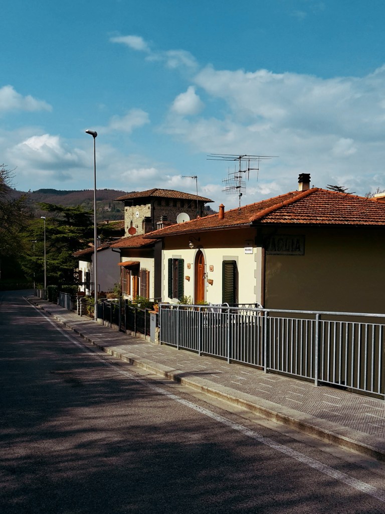
Arriving in Vaglia from Via Bolognese 
The picturesque Police Station
We restart in Vaglia, a tiny town of 5,000 people. The central area around the train station lacks major attractions, so we can immediately proceed on our hike. The trail continues briskly uphill, first on Via del Poggio agli Uccellini, and then on Via di Signano. A side road leads us to a private property and a gate. Just open it (and close it) to follow on the trail. Beautiful views of Vaglia and the surronding mountains make for a very pleasant hike in this wooded area. Soon, we arrive at an intersection: path CAI n. 20 goes on an inviting uphill (not!) to the left. Do not take this path, unless you feel up to a steep uphill hike in the woods that will take you to the top of Poggio agli Uccellini (1,785 ft / 544 m) without offering any panoramic views.
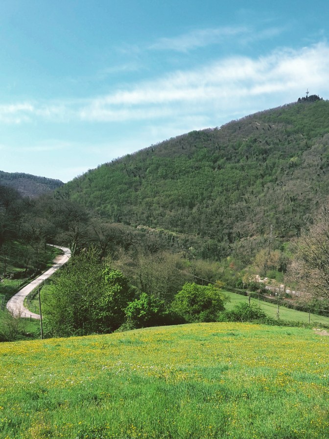
View of Poggio Razzo 
The landscape around Vaglia
Instead, keep going on the path ahead which goes around the hillock and takes us through the neighborhood of Sommavilla to eventually arrive at the campsite of Poggio degli Uccellini. We are back on asphalt and soon after we reach the town of Bivigliano. The parking area at the end of Via Roma have the best views of Monte Morello and the Mugello beyond. The town itself is not much to look at, the most interesting attraction around here is the monastery of Monte Senario. Today, I’m not taking the detour to visit it but you can read more about it on this post:
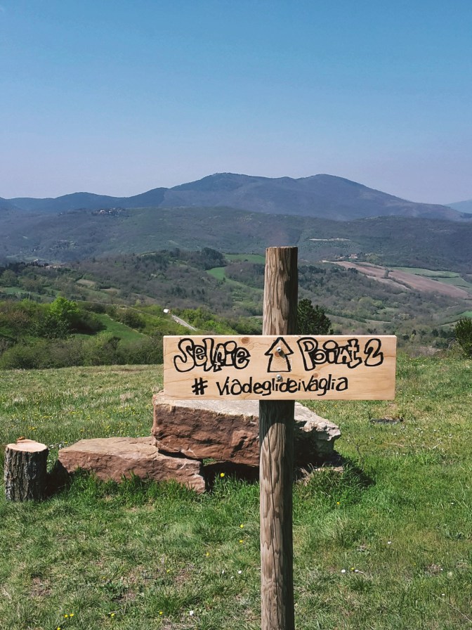
Following Via di Monte Senario, the path becomes familiar – this is also part of Via degli Dei (the Path of the Gods) between Florence and Bologna. Heading downhill on a grassy path to Vetta le Croci, we have a feast for our eyes. Facing south, the vast greenery covers the hills, the valley of the Mugnone river and Fiesole appear on the horizon, and Poggio Pratone dominates the landscape at 2,303 ft (702 m).

We cross Via Faentina to continue on the dirt trail and soon we are on the Provincial Road n.84, where we take a left to reach Alberaccio. Here, the trail continues uphill on the left, following path CAI n. 8 to Madonna del Sasso, a sanctuary built in the 15th century, when the Virgin Mary performed several miraculous apparitions in the area. Although the path goes through the woods, this area has been heavily inhabited historically. We can find several structures (the burraie) where local countryfolk would produce and conserve butter between the 1700s and mid-1900s. In fact, there is a whole trail dedicated to them (the Sentiero delle Burraie), while other paths lead to the highest peaks of the area such as Poggio Ripaghera (2,995 ft / 913 m) and Monte Giovi (3,254 ft / 992 m). Definitely worth exploring, but it will be for a next time.

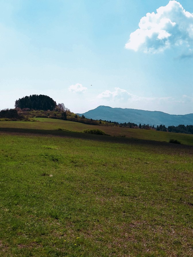
The valley of the Mugnone river 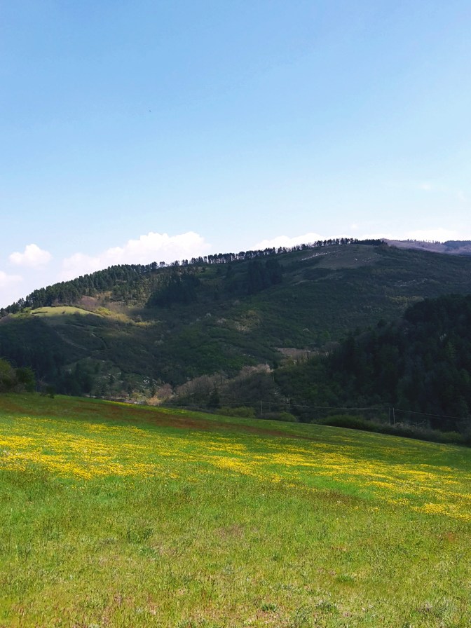
View of the Calvanella
We are practically at the end of this leg. I take a few minutes to enjoy the courtyard of Madonna del Sasso and the amazing views of the valley below Santa Brigida. Going around its external wall, we follow an 18th century stone path which still is the main pilgrimage route to access the sanctuary. After a sharp downhill, we approach the town and church named after St. Brigid of Ireland, an early Christian missionary who allegedly retreated herself to hermit life in a local grotto, right under the church erected in her honor.

Madonna del Sasso 

From the church of Santa Brigida, we continue on asphalt through Via Piana and then Via di Parga. On our right, rustic panoramas dotted with churches, castles and country villas, and Poggio Pratone (2,303 ft / 702 m) overlooking it all. It’s an easy walk until Fornello, where we take a sharp left into Via di Fornello, ascending in between the houses towards Galiga. The path quickly becomes a rough trail in fragrant woods of pine, cypress and oak. We turn right into a dirt road, then right again into asphalt, on Via di Galiga. Here, we start following path CAI n.7 which will take us all the way to Pontassieve.
Church of Santa Brigida 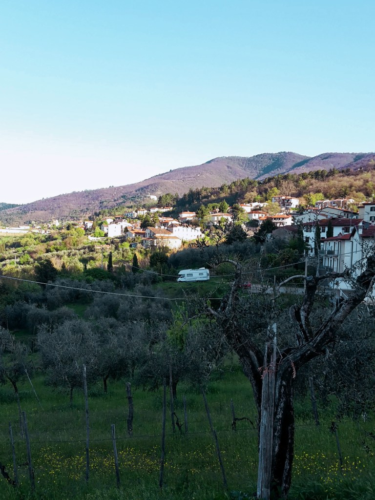

The grotto 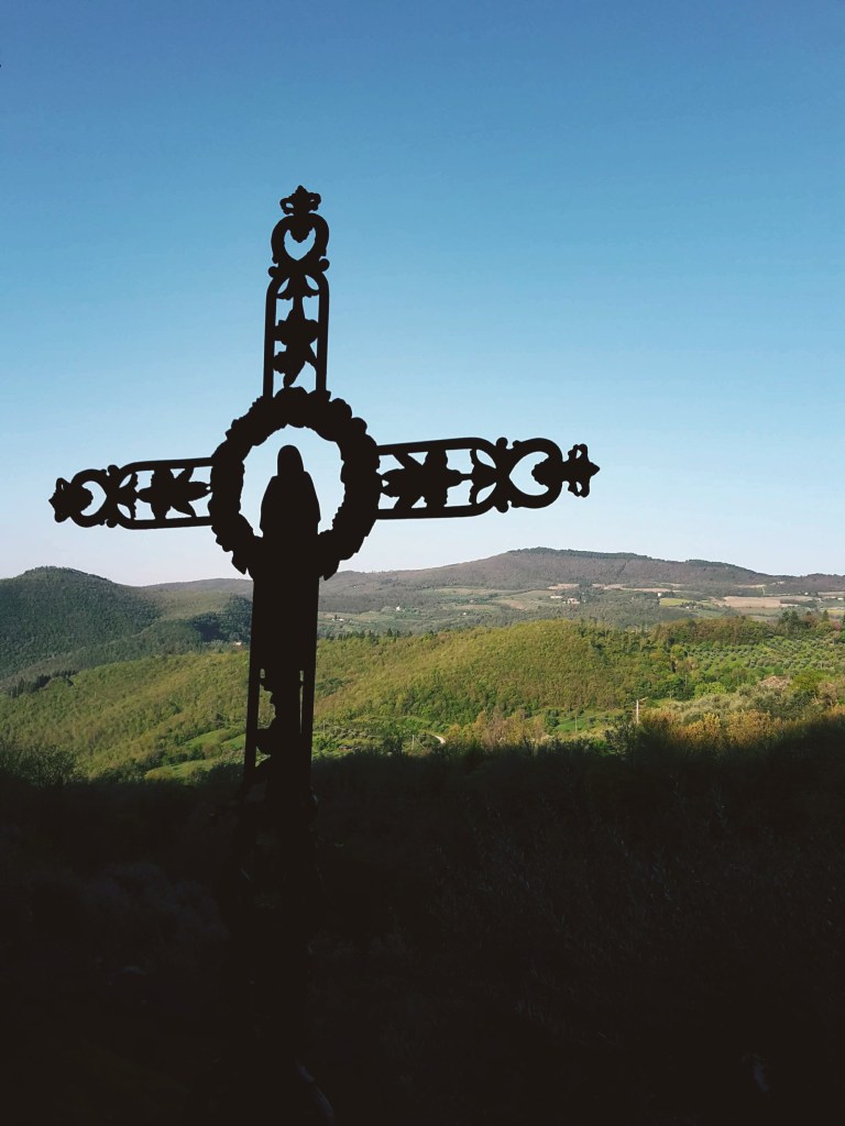
The scenery gets better and better as we get closer to Montefiesole. To the west, the Valdarno – the valley of the Arno river – and its charming greenery of olive groves and vineyards. To the east, the Valdisieve – the valley of the Sieve river – beyond, the imposing Appenine mountain range with some of the highest peaks of the region like Monte Acuto (4,869 ft / 1,484 m) and Monte Falterona (5,427 ft / 1,654 m), where the Arno river is born. Plenty of hiking trails await up there, I have them in my near-future plans.


Stunning panoramas on the way to Montefiesole
A recently restored windmill from the 1700s makes for an unusual sight in Monterifrassine. Soon, we are again on a dirt road, which becomes a rough path going up to Montefiesole and the church of San Lorenzo. Prepare your knees! The last 2 km (1 mi) are a brisk downhill as we drop from 1,600 ft (500 m) to 300 ft (100 m) before we arrive in the historical center of Pontassieve. With its earliest records going back to the 11th century, this town of 20,000 people is worth a quick visit for its old city gates and the Medici bridge that has crossed the Sieve river since the 16th century.

The windmill in Monterifrassine 
Church of San Lorenzo 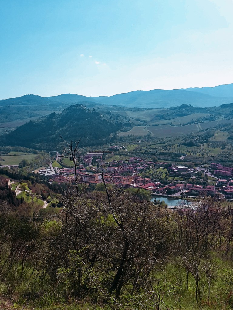
Arriving in Pontassieve

Vaglia – Vetta le Croce – Santa Brigida
- 3h30
- 10 mi (16 km)
- Arrive: Vaglia (by train)
- Depart: Santa Brigida (by bus)
- How to get there: 30min ride from Santa Maria Novella to Vaglia. 45min direct bus to return from Santa Brigida or 25 min to Pontassieve for trains to Florence

Santa Brigida – Fornello – Pontassieve
- 3h
- 8.4 mi (13.5 km)
- Arrive: Santa Brigida (by bus)
- Depart: Pontassieve (by train)
- How to get there: 45min direct bus from Busitalia SITA Nord Autostazione (by Firenze SMN train station)
Thank you for reading! I hope you enjoyed, please post your comments so I can improve this blog!
Thank you for the detailed recommendations! I’m here now on vacation from Denver and want to get a hike in…

Happy to learn that my posts were helpful! Enjoy your hike!