Category: Renaissance Ring

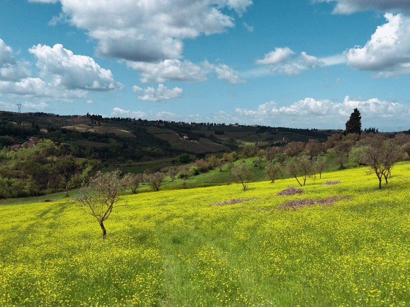
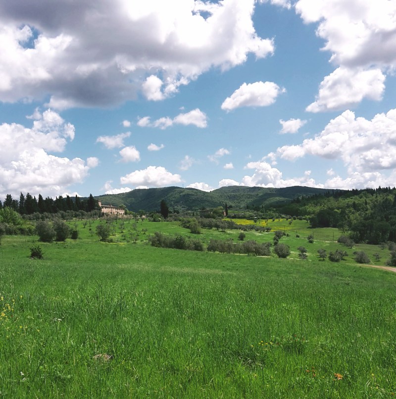
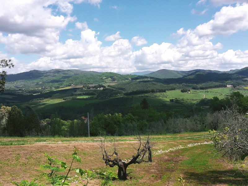
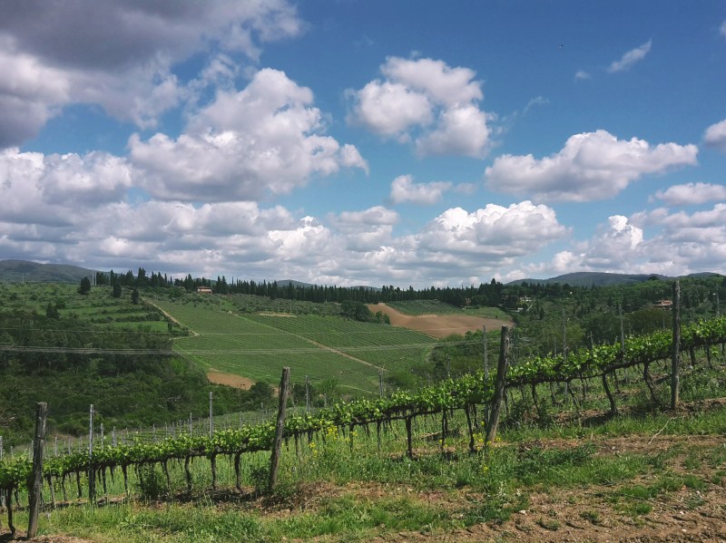
The Anello del Rinascimento (Renaissance Ring), a 105-mile (170 km) trail looping around Florence through Monte Morello, the Mugello, the Sieve valley, the Chianti hills and Signa. My 4-part, station-to-station guide.

  • Renaissance Ring (Anello del Rinascimento) 4: Impruneta–Signa

    Renaissance Ring (Anello del Rinascimento) 4: Impruneta–Signa

    ← Renaissance Ring Part 3

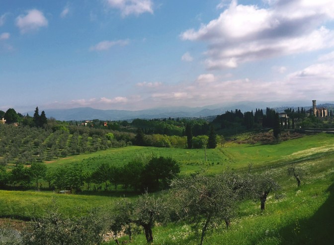
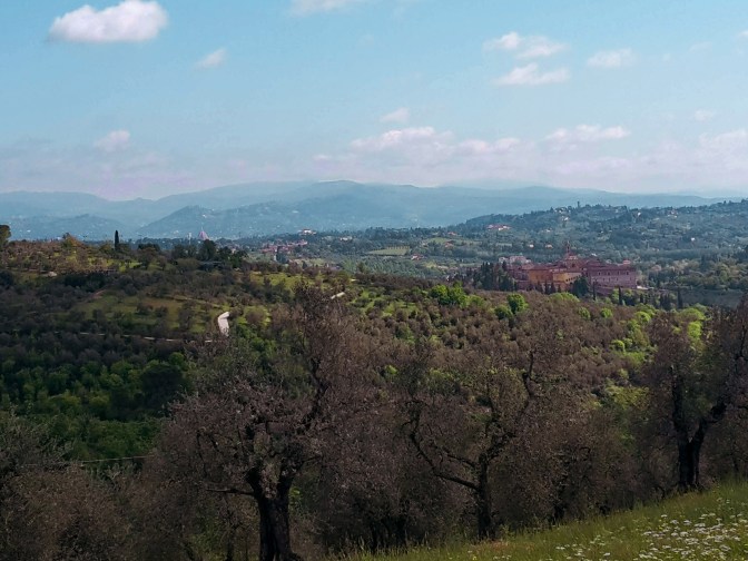
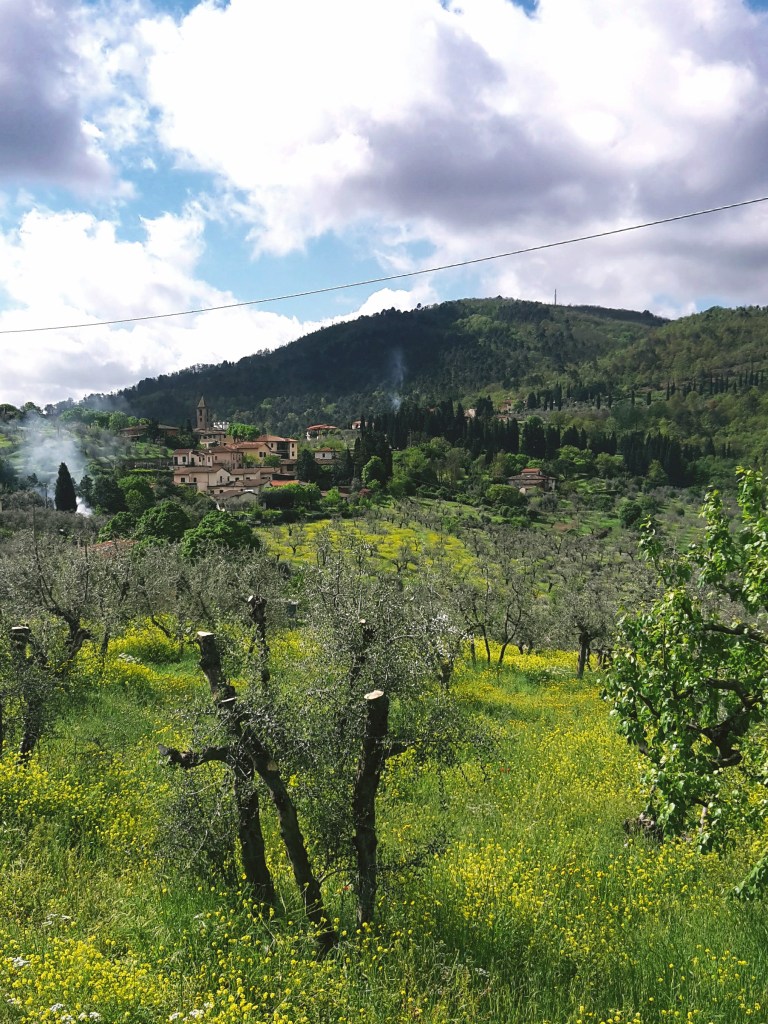
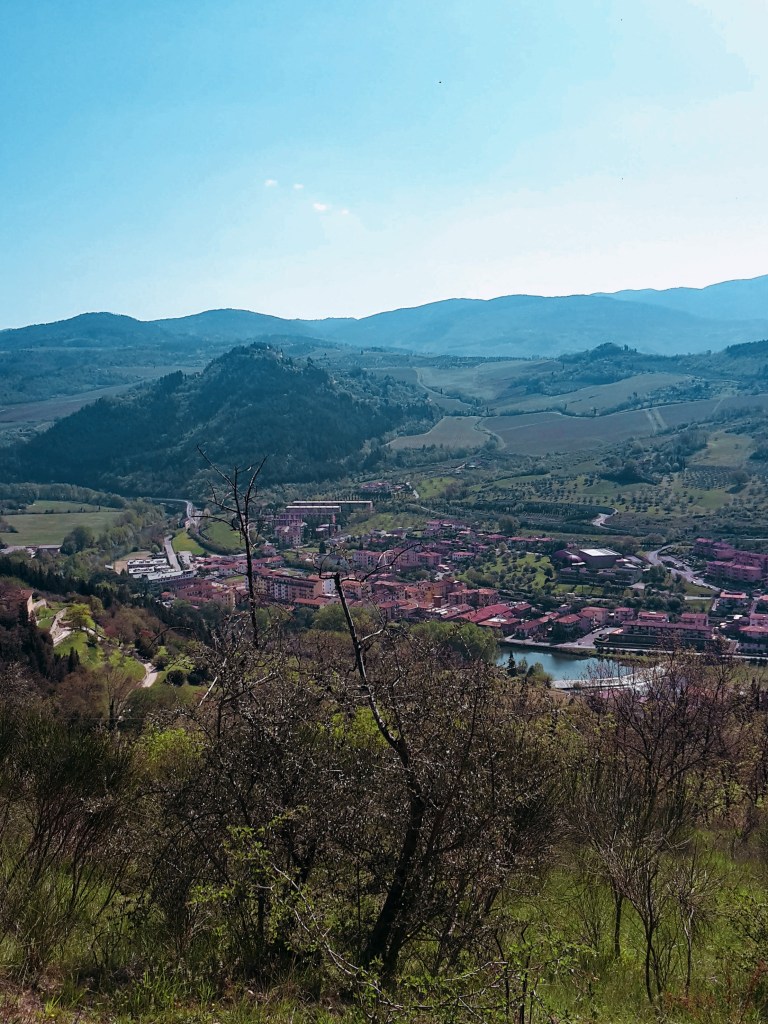
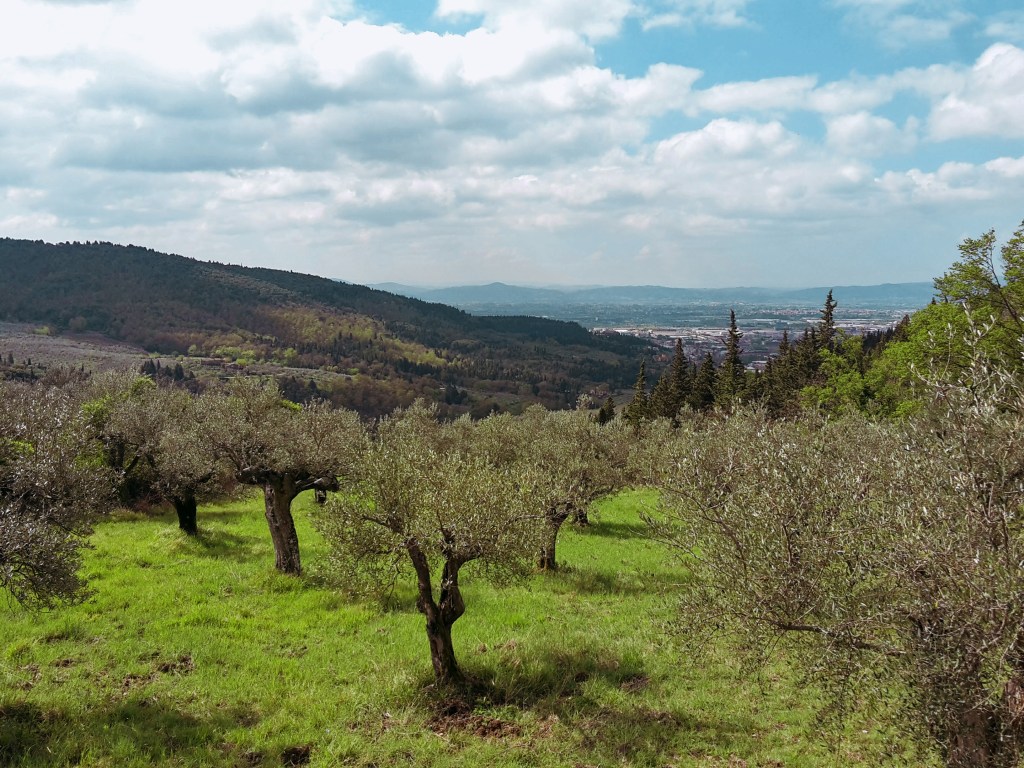
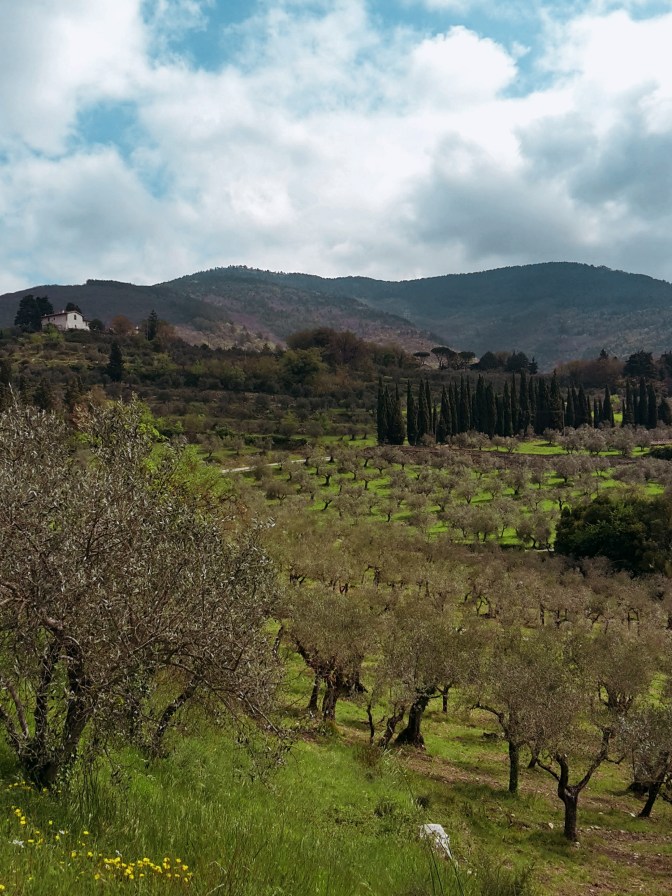
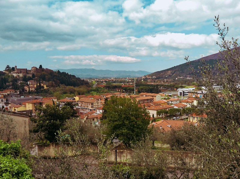
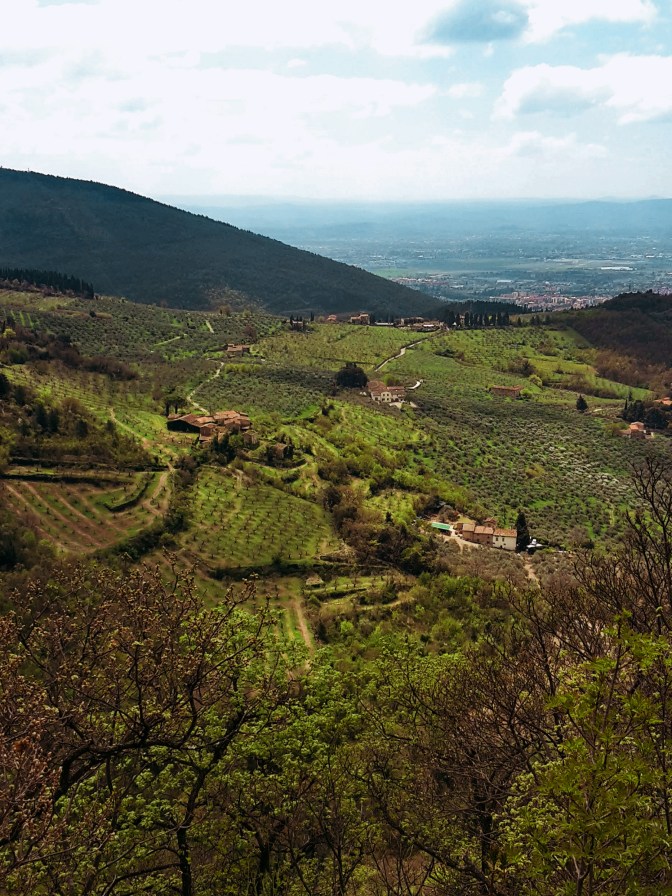
    The final stretch of the Renaissance Ring takes us on a superb hike from Impruneta, the land of terracotta, through Galluzzo and the magnificent Certosa, to finally reencounter Signa on the banks of the Arno river. Florence reveals itself in all its splendor several times along the way, as we cross olive groves, vineyards and woodlands. It’s a great ending for a very rewarding trail.
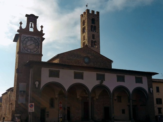
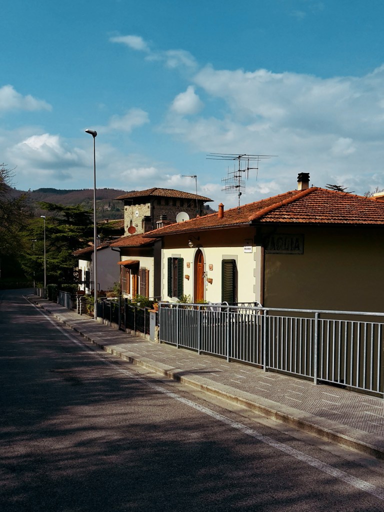
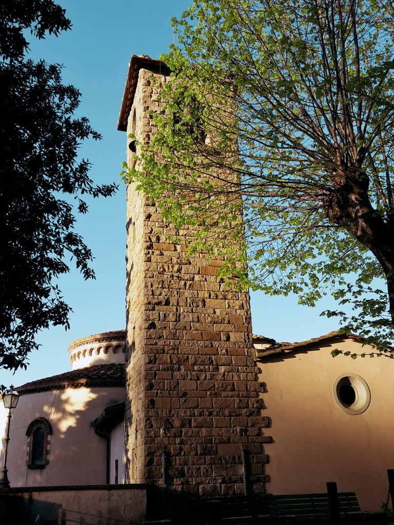
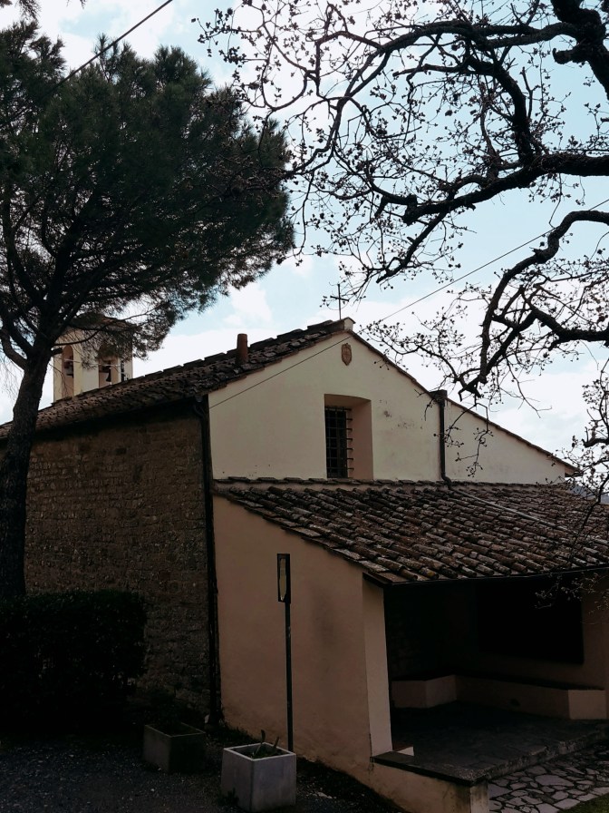
    Church with a loggia and a stone bell tower in Impruneta
    Church of Santa Maria dell’Impruneta

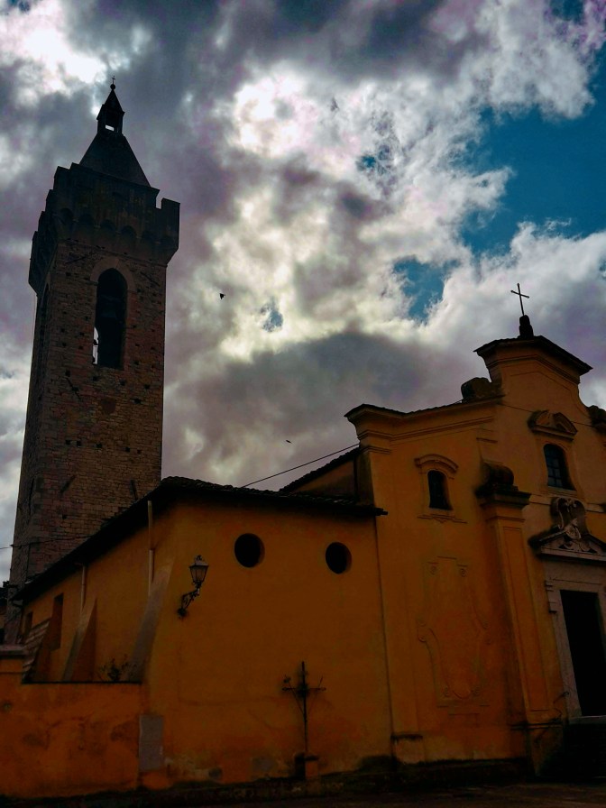
    We depart from Impruneta but not before checking out the charming 11th century church of Santa Maria dell’Impruneta and its elegant 17th century portico. Unfortunately, the interior was mostly destroyed during WW2, including its carved wood ceiling in baroque style. There are some 1940s photos by the entrance that will give you an idea of the magnitude of this disaster. Luckly, the small temples on the right and left sides of the altar survived with their exquisite 15th century panels in glazed terracotta by Luca della Robbia. They also house a 13th century image of the Virgin Mary, fervently worshipped by locals for having saved Impruneta from the plague and other hazards. If you are interested in religious artifacts, you should visit the treasury museum within the church, it’s one of the best in Tuscany.

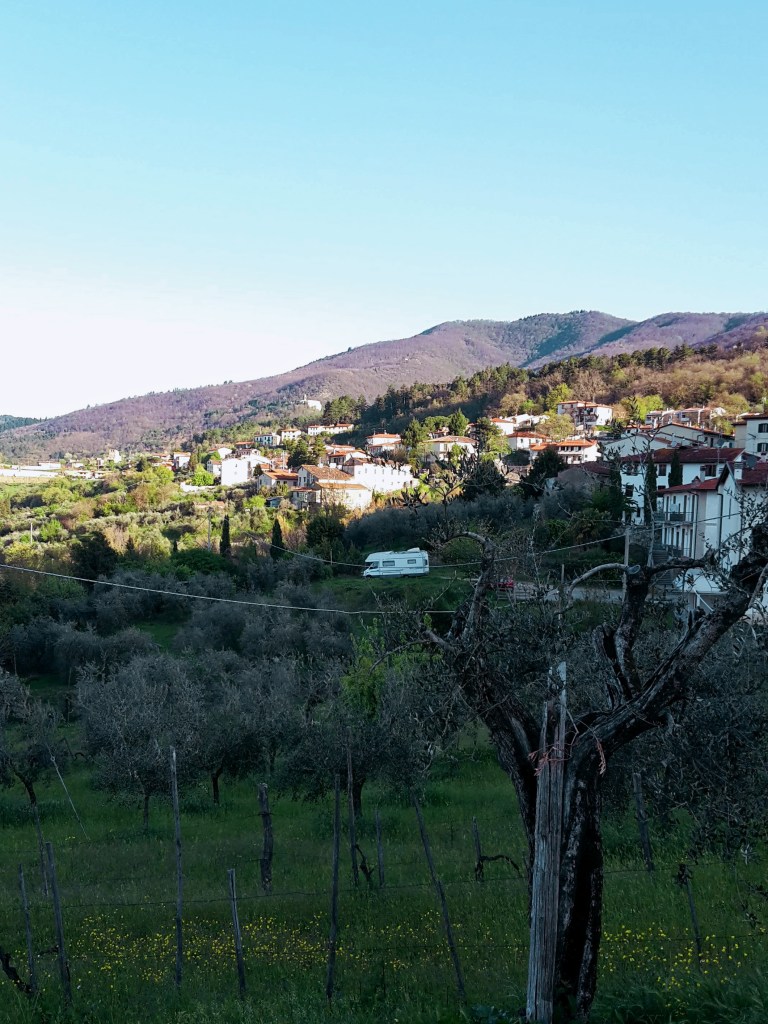
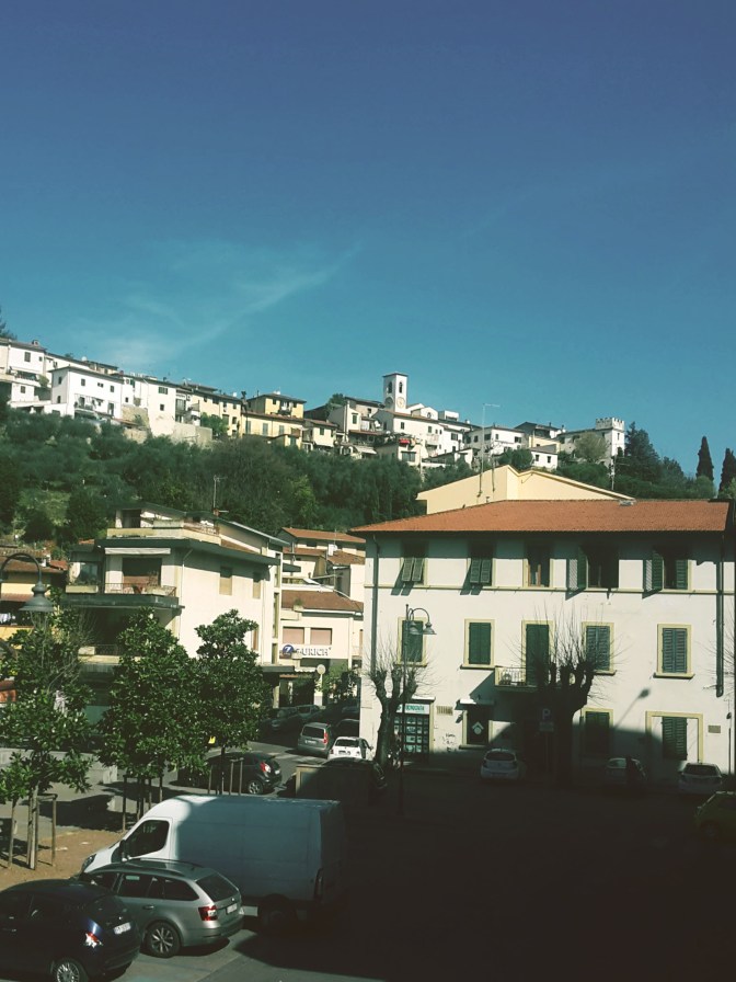
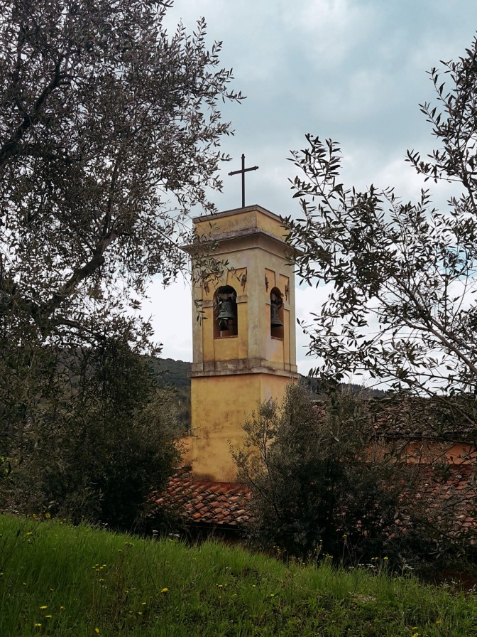
    We go up on Via Leopoldo Vanni, but not without noticing a couple of exquisite terracotta vases decorating the main square, prime examples of Impruneta’s great craftsmanship. We walk on Provincial Road n.70, direction Florence, for about a mile. There is a sidewalk for most of the way, and we can enjoy the bucolic scenery with San Casciano in Val di Pesa on the southwest hills. We take Via Quintole per le Rose uphill to Monte di Meccoli, and we’ll continue on this road almost until Galluzzo, passing by the sleepy neighborhoods of Baruffi and Le Rose and two lovely 12th century churches – San Miniato a Quintole and San Lorenzo alle Rose, both in medieval romanesque style. We turn right in Via Brancolano by Villa Antinori delle Rose, which once belonged to the noble winemaking family and now is available for events and lodging. As we approach Galluzzo, we enjoy a fantastic view of the Certosa, and of the convent of San Paolo, on the hill across the highway. Don’t get too distracted. We arrive at a parking area at the bottom of this path without any trail marks on sight. Go straight ahead to Via Senese, cross it, turn right and then left in Via di Colleramole – the Renaissance Ring continues from here.

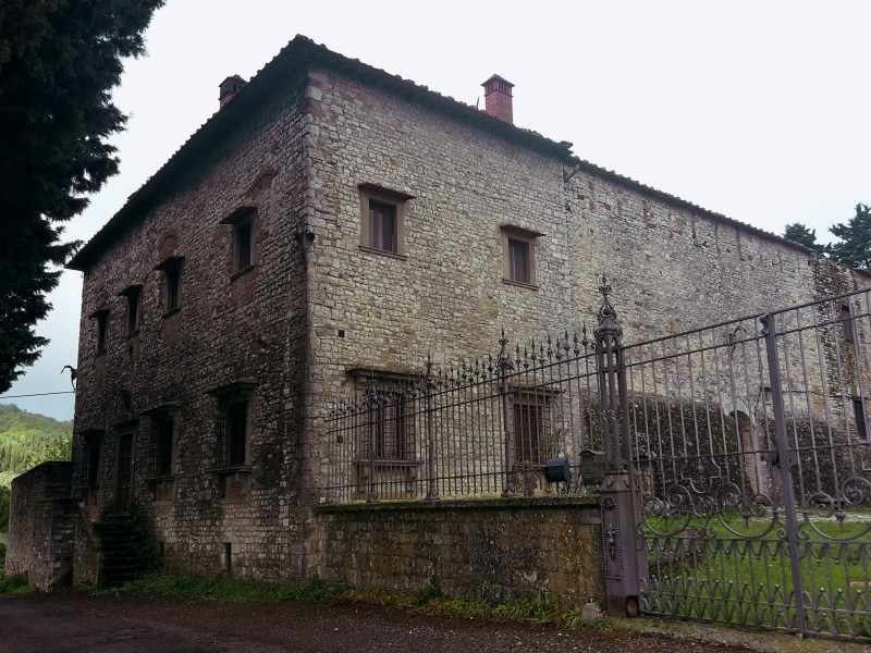
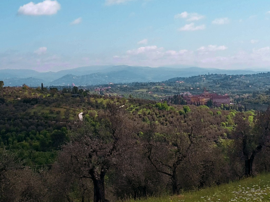
    I’d recommend a detour to visit the Certosa, but make sure you check the times of the guided visits. The wealthy Acciaiuoli family funded the construction of the imposing charterhouse in 14th century and to this date a handful of cistercian monks live an austere life within its cloisters. They substituted the original and stricter carthusians in 1958. Continuing the hike, from via di San Cristofano we enjoy great views of the church of San Lorenzo within the walls of the Certosa. Further up the road, we witness an extraordinary panorama of Florence, it’s hard to turn your back and proceed on the trail. Soon, we pass by extensive vineyards and the elegant 16th century Villa I Collazzi before reaching Via Volterrana. We’ll follow this provincial road for a few hundred yards – pay attention to the trail marks around this area – we get out of the road on the left after the guard rail, then go up through a path in the woods and turn right to go down, returning to Via Volterrana.
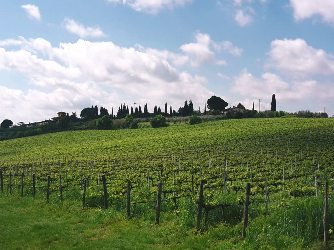
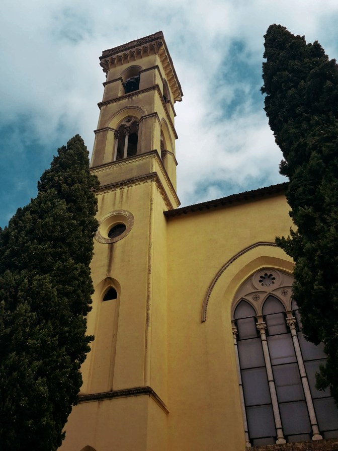
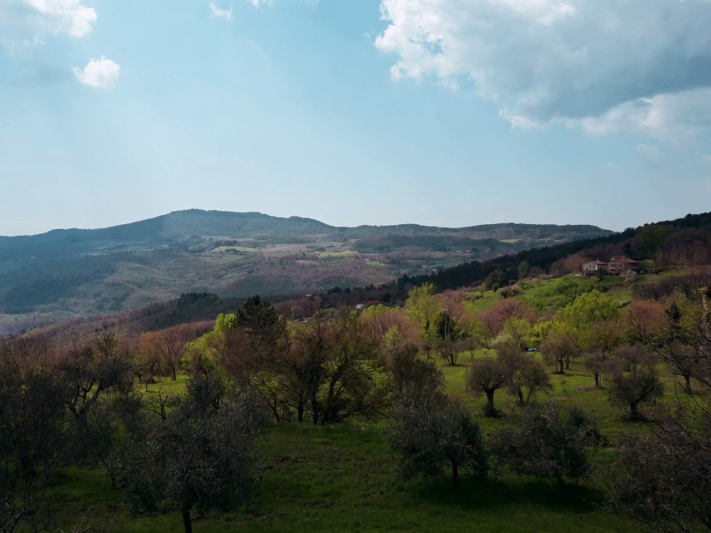
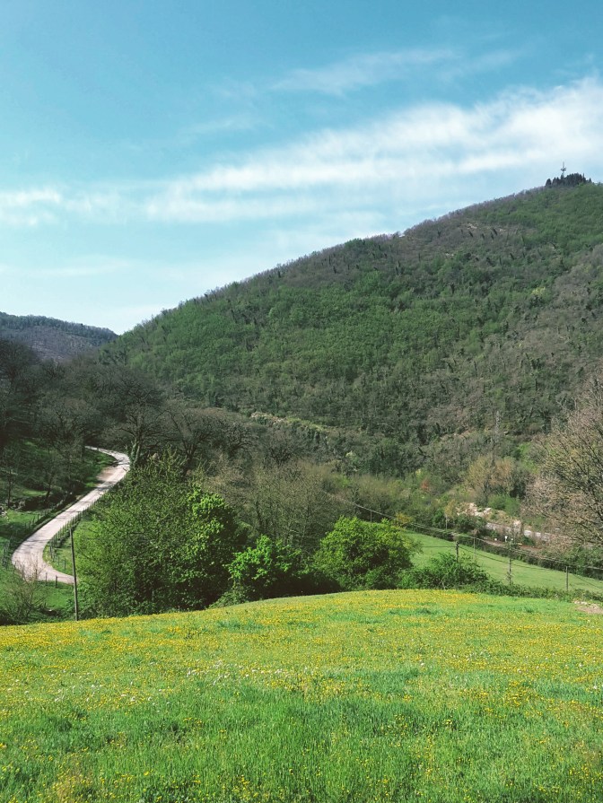
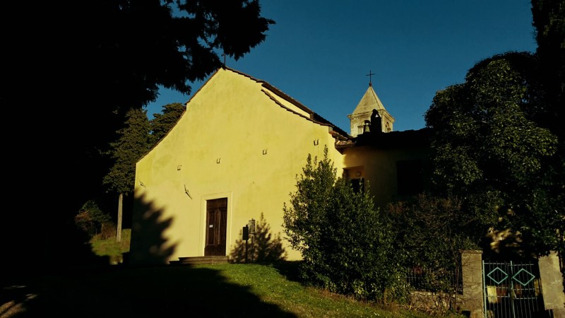
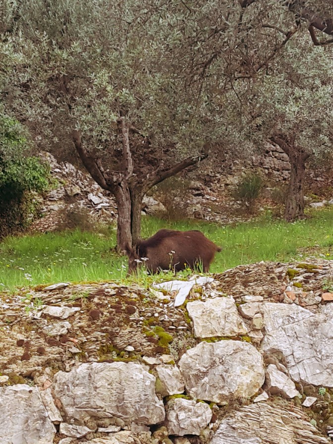
    We cross the road and continue on another downhill path to the left. We quickly get to the bottom and make a u-turn to take the path in the woods to Casignano. Here, we may spot some local wildlife like deer and fox while enjoying a pleasant hike among oak, pine and chestnut trees. After Casignano, we head towards Pian de’ Cerri passing by the rustic chapel of San Zanobi, where the 4th century patron saint of Florence spent some time in contemplation. By La Catena, the path opens to a gorgeous view of the hills around Chiesanuova and we can spot the bell tower of Santa Maria dell’Impruneta in the distance. We continue along the fence of Poggio Valicaia park (don’t go into the park) to arrive in Pian de’ Cerri. We make another u-turn into Via di Mosciano to soon take a left into Via di Fabbrica and another one into Le Pozze. This dirt path makes true to its name: after a rainy day there are plenty of puddles along the mudded way.

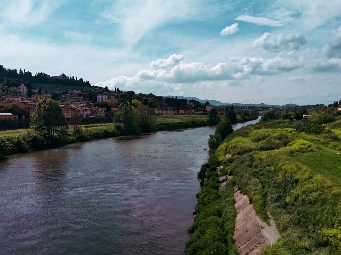
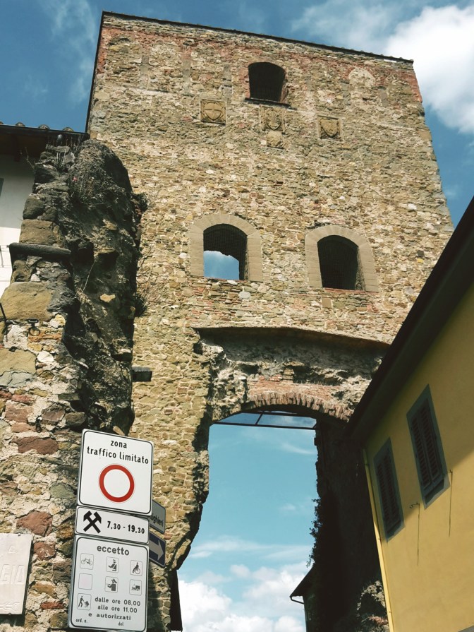
    By Roncigliano, we meet asphalt once again. After we pass vineyards and a private property, we take a left into Via Roveta. The trail contours the hill taking us down to Via delle Fonti where we cross a bridge over the FI-PI-LI highway and reach Via di Naiale. The historical center of Lastra a Signa is less than an hour away. As we approach it, walking on Via San Romolo and Via di Poggio Vittorio we have a chance to enjoy a wonderful view of Signa, perched on the hill across the Arno river, and the plains of the Bisenzio river where we started our hike on the Renaissance Ring. We enter the town through Portone di Baccio, one of the city gates, and pass by the 15th century Spedale di Sant’Antonio and its beautiful loggia. We turn left on Via 24 Maggio to reach Signa through Porta Pisana – the gate that opens to Pisa. We’ll go under the railway and then the road, before finding a pedestrian bridge that crosses the Arno by Piazza Guido Andrei.

    It’s bittersweet. It feels great to close this 105 mile (170km) loop through the majestic Florentine countryside. But I wish this wasn’t the end. Well, I’m already planning to come back and hike on the opposite direction – maybe I’ll bring some friends with me. Happiness is to be shared, after all. I have new adventures in my near future plans, including hiking the main circular trail around the Apennines. Stay tuned!

    I hope you liked this post! Send me your comments so this blog keeps getting better!

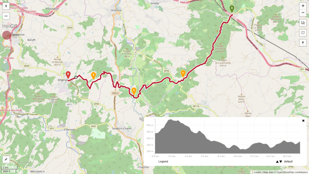
    Trail map from Impruneta to Galluzzo with an elevation profile

    Impruneta – Galluzzo

    • 1h30
    • 4.3 miles (6.9 km)
    • Arrive: Impruneta (by bus)
    • Depart: Galluzzo (by bus)
    • How to get there: Line 39A/39B direct from the Autostazione by Firenze SMN train station, or bus 11/36/37 to Galluzzo and change to line 65.

    Trail map from Galluzzo to Signa with an elevation profile

    Galluzzo – Pian de’ Cerri – Signa

    • 5h
    • 14.3 miles (23 km)
    • Arrive: Galluzzo (by bus)
    • Depart: Signa (by train)
    • How to get there: Bus n. 11 (Autolinee Toscane) from Piazza Santa Maria Novella.

    Bus and train timetables in Tuscany change often. If you find a line has changed or a stop has moved, please let other hikers know in the comments below!

    Back to the start: Renaissance Ring Part 1 · All four parts

    Have you closed the full loop of the Renaissance Ring? I’d love to hear how long it took you. Drop a comment below.
  • Renaissance Ring (Anello del Rinascimento) 3: Chianti hills

    Renaissance Ring (Anello del Rinascimento) 3: Chianti hills

    ← Renaissance Ring Part 2

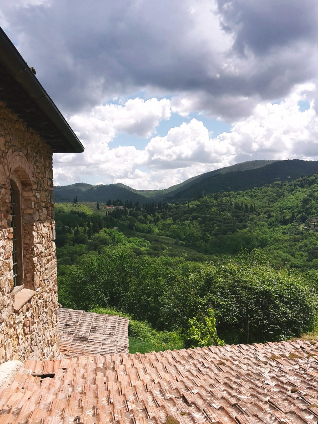
    On the southeast section of the Renaissance Ring, our surroundings will be extremely lush (especially if you choose to hike it in late spring or summer) and we’ll gape at some of the most spectacular views of Florence and the plains beyond it. We’ll cross the Chianti, more precisely the Chianti Colli Fiorentini, a subzone assigned to the hills of Florence. Technically, this isn’t the Chianti Classico, where the famous wine was originally developed and classified, but gorgeous just the same. My only caveat is that, unfortunately, the trail is badly maintained as it nears Impruneta. You may want to take a detour by the town of Santa Cristina, but the rest of your hike will be on asphalt.

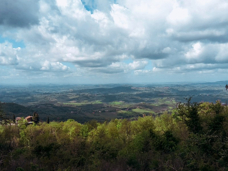
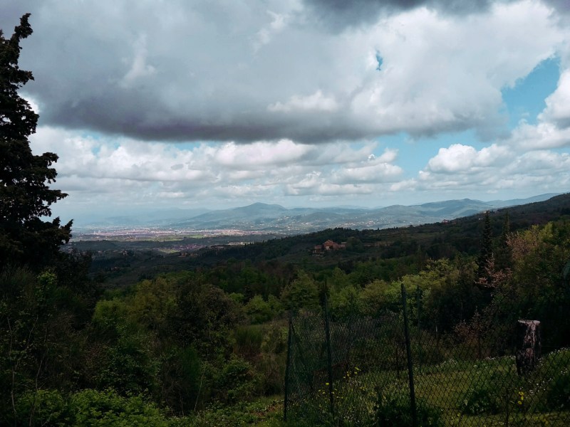
    Forested hills and a valley under dramatic clouds

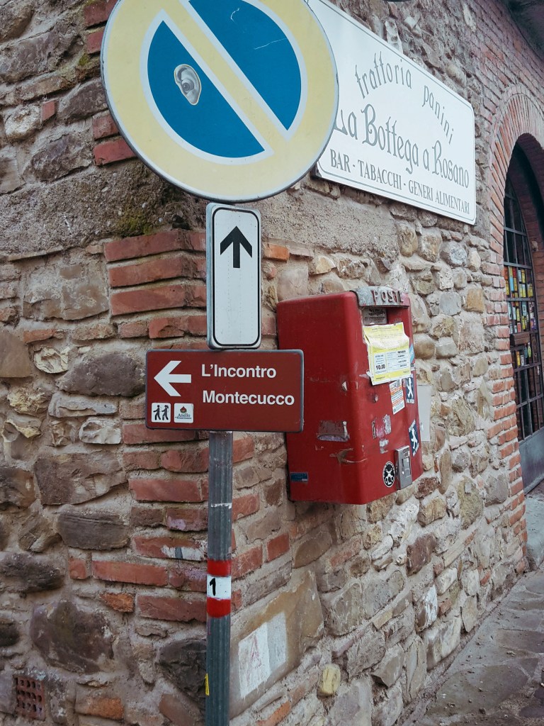
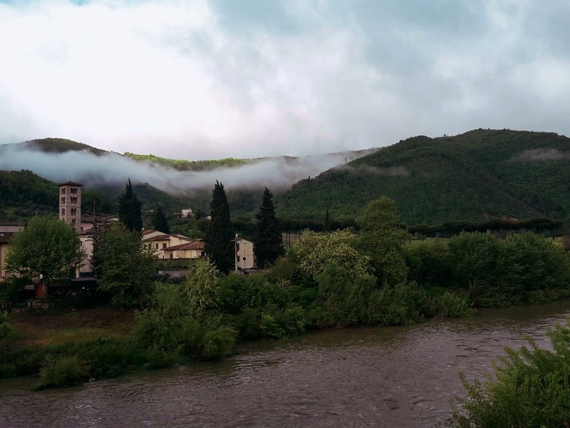
    But first things first! We continue from the train staion of Pontassieve, taking the underground passage to Via Giuseppe Verdi. We turn right and head onto Via di Rosano, which will lead us over the highway, then over the Arno, to the quaint town of Rosano (nowadays a neighborhood of Rignano sull’Arno) cozily nestled at the feet of the Florentine hills. I pause to admire the bell tower of Santa Maria a Rosano, an 8th century monastery and one of the oldest in Italy. We take a right after crossing the bridge and soon we find the signs of the Renaissance Ring, which goes up on Borgo del Monastero towards the convent of Incontro.

    The first hour of this hike is a steep uphill, alternating between roads through inhabited areas and rocky terrain through dense woods. These hills are mainly made of sandstone so the gravel covering the path can become very slippery on rainy days (or right after them). We turn around every now and then to enjoy breathtaking views of Montefiesole, Pontassieve and the Apennine mountains beyond. Reaching the Incontro, the convent and the church of San Francesco are worth a brief visit, especially for the amazing viewpoint of the Florentine valley. I know it’s hard to leave such a view behind, but don’t worry – there will be plenty more where we’re going.

    We head down to San Donato in Collina through the tiny communities of Croce dei Frati and Monteccuco. Pay attention to the trail marks as you go through them. From Croce dei Frati, it’s a rocky path uphill. As you reach Montecucco, keep going straight south on the road until you find a narrow downhill path bordering a wire fence. We eventually meet the walls of a private property, which we’ll follow downhill for a few minutes before we approach Via Roma. It’s a short hike on this busy provincial road and the welcoming sight of San Donato in Collina makes up for it.

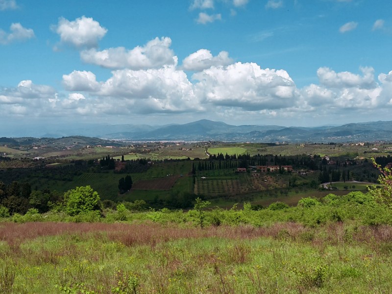
    Wide valley view under a cloudy sky

    We continue into Via Maremmana swiftly passing through the tiny town, unless you’d like to stop for one of its famous frittelle – a deep fried dough sprinkled with powdered sugar. Not as healthy as an energy bar, but definitely tastier! Don’t eat too many though because we have a steep uphill ahead taking us to the park of Fontesanta, a beautiful wooded area characterized by its Mediterranean vegetation, oak and chestnut trees. We go by a hiking shelter where, during WW2, Italian partisans of the Sinigaglia brigade took cover before embarking on their final battle against Nazi Germany to liberate Florence. Further down the path, we encounter the Sasso Scritto, a solid block of sandstone with ancient inscriptions from the 4th century BC (this one is a copy, the original can be found in the Archeological Museum of Florence).

    We leave Fontesanta and reach Tizzano, following Via di Castel Ruggero where we find a historical villa, the delightful church of Santo Stefano, and the 16th castle which gives this road its name. Make sure to take a short detour to check out the front of the church and be rewarded with another stunning panorama of the Florentine valley. Soon after we pass the Ruggero castle (now a Chianti winery), we turn left into Via Petigliolo di Strada and head down to cross the bridge over the Ema river. A dog trainer lives by the bridge – although he keeps his dogs in a kennel, it’s always best to be careful as you approach the area.

    The trail continues uphill to Via Chiantigiana, a main regional highway that connects Florence and Siena cutting through the Chianti. It’s time to decide if you’re up for some rough hiking, or if you’d rather proceed on asphalt for the final 2.5 miles (4 km) to Impruneta. If an easy walk on asphalt sound appealing at this point, go left on Via Chiantigiana, then right on Via Pian di Pancole. This will take you through Santa Cristina and shortly after you’ll arrive in Impruneta.

    If you like a challenge as much as I do, take a right on Via Chiantigiana, then left in Via della Montagnola (just before a gas station) towards Podere Porciana. A closed gate awaits us at the end of this road, but fortunately we can just walk around it. The trail goes left by the building and parking area (you should be facing Impruneta on the hilltop to the west), and down to cross the narrow Grassina stream. This tract is badly kept, we have to trudge through fallen trees, passing by a huge power line before we cross the stream and regain the dirt path uphill to Impruneta. After passing by some private properties on Via delle Terre Bianche, a trail sign we’ll send us into another tortuous and poorly maintained path through the woods. We cross a stream before reaching Via di Fabbiolle and our destination! You can also decide to just ignore the trail sign and continue on Via delle Terre Bianche, turning right on Viale Vittorio Veneto for a faster and more gentle arrival to Impruneta.

    Trail map from Pontassieve to San Donato with an elevation profile

    Pontassieve – Montecucco – San Donato in Collina

    • 2h30
    • 7.8 mi (12.5 km)
    • Arrive: Pontassieve (by train or bus)
    • Depart: San Donato in Collina (by bus)
    • How to get there: 30min train ride to Pontassieve from Firenze Santa Maria Novella train station.
    Trail map from San Donato to Impruneta with an elevation profile

    San Donato in Collina – Tizzano – Impruneta

    • 3h45
    • 11 mi (17.7 km)
    • Arrive: San Donato in Collina (by bus)
    • Depart: Impruneta (by bus)
    • How to get there: Line 351A from Florence (Coluccio Salutati stop) to San Donato in Collina, Monday to Saturday only, no Sunday service, so check the timetable. Back from Impruneta: line 39A/39B direct to the Autostazione by Firenze SMN, or line 65 to Galluzzo and change to bus 11, 36 or 37.

    Bus and train timetables in Tuscany change often. If you find a line has changed or a stop has moved, please let other hikers know in the comments below!

    Thank you for checking out my post! Let me know how I can improve it!

    Next: Renaissance Ring Part 4: Impruneta to Signa →

    Did the Chianti hills on the way to Impruneta surprise you too? Tell me in the comments.

  • Renaissance Ring (Anello del Rinascimento) 2: Mugello

    Renaissance Ring (Anello del Rinascimento) 2: Mugello

    ← Renaissance Ring Part 1

    The second part of the Renaissance Ring will take us through the beautiful Mugello. From this lush countryside, an unimportant family of wool merchants eventually migrated to Florence to become the most renowned dynasty of Tuscany – the Medici. We will also have a first glimpse at the more challenging Apennine mountain range to the east. Although we don’t reach those extraordinary mountains during this hike, they provide a wonderful scenery for us to admire along the way.

    We restart in Vaglia, a tiny town of 5,000 people. The central area around the train station lacks major attractions, so we can immediately proceed on our hike. The trail continues briskly uphill, first on Via del Poggio agli Uccellini, and then on Via di Signano. A side road leads us to a private property and a gate. Just open it (and close it) to follow on the trail. Beautiful views of Vaglia and the surronding mountains make for a very pleasant hike in this wooded area. Soon, we arrive at an intersection: path CAI n. 20 goes on an inviting uphill (not!) to the left. Do not take this path, unless you feel up to a steep uphill hike in the woods that will take you to the top of Poggio agli Uccellini (1,785 ft / 544 m) without offering any panoramic views.

    Instead, keep going on the path ahead which goes around the hillock and takes us through the neighborhood of Sommavilla to eventually arrive at the campsite of Poggio degli Uccellini. We are back on asphalt and soon after we reach the town of Bivigliano. The parking area at the end of Via Roma have the best views of Monte Morello and the Mugello beyond. The town itself is not much to look at, the most interesting attraction around here is the monastery of Monte Senario. Today, I’m not taking the detour to visit it but you can read more about it on this post:

    Following Via di Monte Senario, the path becomes familiar – this is also part of Via degli Dei (the Path of the Gods) between Florence and Bologna. Heading downhill on a grassy path to Vetta le Croci, we have a feast for our eyes. Facing south, the vast greenery covers the hills, the valley of the Mugnone river and Fiesole appear on the horizon, and Poggio Pratone dominates the landscape at 2,303 ft (702 m).

    We cross Via Faentina to continue on the dirt trail and soon we are on the Provincial Road n.84, where we take a left to reach Alberaccio. Here, the trail continues uphill on the left, following path CAI n. 8 to Madonna del Sasso, a sanctuary built in the 15th century, when the Virgin Mary performed several miraculous apparitions in the area. Although the path goes through the woods, this area has been heavily inhabited historically. We can find several structures (the burraie) where local countryfolk would produce and conserve butter between the 1700s and mid-1900s. In fact, there is a whole trail dedicated to them (the Sentiero delle Burraie), while other paths lead to the highest peaks of the area such as Poggio Ripaghera (2,995 ft / 913 m) and Monte Giovi (3,254 ft / 992 m). Definitely worth exploring, but it will be for a next time.

    We are practically at the end of this leg. I take a few minutes to enjoy the courtyard of Madonna del Sasso and the amazing views of the valley below Santa Brigida. Going around its external wall, we follow an 18th century stone path which still is the main pilgrimage route to access the sanctuary. After a sharp downhill, we approach the town and church named after St. Brigid of Ireland, an early Christian missionary who allegedly retreated herself to hermit life in a local grotto, right under the church erected in her honor.

    From the church of Santa Brigida, we continue on asphalt through Via Piana and then Via di Parga. On our right, rustic panoramas dotted with churches, castles and country villas, and Poggio Pratone (2,303 ft / 702 m) overlooking it all. It’s an easy walk until Fornello, where we take a sharp left into Via di Fornello, ascending in between the houses towards Galiga. The path quickly becomes a rough trail in fragrant woods of pine, cypress and oak. We turn right into a dirt road, then right again into asphalt, on Via di Galiga. Here, we start following path CAI n.7 which will take us all the way to Pontassieve.

    The scenery gets better and better as we get closer to Montefiesole. To the west, the Valdarno – the valley of the Arno river – and its charming greenery of olive groves and vineyards. To the east, the Valdisieve – the valley of the Sieve river – beyond, the imposing Appenine mountain range with some of the highest peaks of the region like Monte Acuto (4,869 ft / 1,484 m) and Monte Falterona (5,427 ft / 1,654 m), where the Arno river is born. Plenty of hiking trails await up there, I have them in my near-future plans.

    A recently restored windmill from the 1700s makes for an unusual sight in Monterifrassine. Soon, we are again on a dirt road, which becomes a rough path going up to Montefiesole and the church of San Lorenzo. Prepare your knees! The last 2 km (1 mi) are a brisk downhill as we drop from 1,600 ft (500 m) to 300 ft (100 m) before we arrive in the historical center of Pontassieve. With its earliest records going back to the 11th century, this town of 20,000 people is worth a quick visit for its old city gates and the Medici bridge that has crossed the Sieve river since the 16th century.

    Trail map from Vaglia to Santa Brigida with an elevation profile

    Vaglia – Vetta le Croce – Santa Brigida

    • 3h30
    • 10 mi (16 km)
    • Arrive: Vaglia (by train)
    • Depart: Santa Brigida (by bus)
    • How to get there: 30min ride from Santa Maria Novella to Vaglia. Line 330C returns from Santa Brigida to Florence, or 331B/331C goes to Pontassieve for trains to Florence (only a few runs a day, so check the timetable)

    Trail map from Santa Brigida to Pontassieve with an elevation profile

    Santa Brigida – Fornello – Pontassieve

    • 3h
    • 8.4 mi (13.5 km)
    • Arrive: Santa Brigida (by bus)
    • Depart: Pontassieve (by train)
    • How to get there: Line 330C from Florence to Santa Brigida (check the timetable; few runs a day)

    Bus and train timetables in Tuscany change often. If you find a line has changed or a stop has moved, please let other hikers know in the comments below!

    Thank you for reading! I hope you enjoyed, please post your comments so I can improve this blog!

    Next: Renaissance Ring Part 3: the Chianti hills →

    Have you hiked through the Mugello along the Sieve? Share your favorite stretch in the comments.

  • Renaissance Ring (Anello del Rinascimento) 1: Signa–Vaglia

    Renaissance Ring (Anello del Rinascimento) 1: Signa–Vaglia

    As spring begins, I become more adventurous and decide to tackle the trail called Anello del Renascimento, or the Renaissance Ring. Using Florence and its Duomo as the central point, the trail loops around 105 mi (170 km) connecting several historical towns and sites through Monte Morello, the Mugello, Valdisieve, the Chianti and more. It could be completed on 4-5 long hiking days. Better yet, 6-7 days if you’d like a more paced experience, giving plenty of time to gaze at the beautiful scenery and explore the places you’ll encounter along the way. Another option, which was more suited for me because I live here, is to take day trips from Florence and discover it bit by bit.

    Path through olive groves toward Monte Morello
    Views of Monte Morello abound in this part of the hike

    I chose the town of Signa as the starting point for a couple of reasons: it’s an easy train ride (20 mins) from Santa Maria Novella station in Florence and I thought I would start nice and easy. We had a mild winter and hadn’t seen rain in a while, and it wasn’t full summer yet. So, less bugs, not as hot, a great time to hike across the plain of the Bisenzio river, passing Campi Bisenzio on the way to Calenzano.

    Coming out of the train station, we see the old town perched on the hill crowned by the bell tower of the church of Santa Maria in Castello. Small in size and in population (almost 20,000 people), rich in history: Signa is first documented back in the days of the longobard margraves, during the Early Middle Ages. But, not far from we find an etruscan necropolis from the 8th century BC in the Montalbano hills. For centuries, this was the main route between Pisa and Florence, making Signa into an extremely coveted position. Closer to our days, the town became known for its local handcraft, especially terracotta and straw weaving.

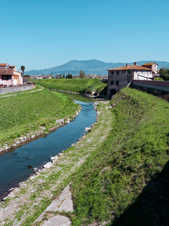
    The Bisenzio river with Monte Morello in the distance
    Bisenzio river and Monte Morello beyond

    The Renaissance Ring takes us right through town – from Via Roma up onto the steps of Via del Castello into Via Mura Castellane then Via dell’Orologio. Passing by Piazza Claudio Bigagli and 10th century Santa Maria in Castello, we continue to Via Dante Alighieri and head down to Piazza Cavour and 7th-century church of St. John the Baptist. By the town hall, we head down the local park to Via Roma and then take Via dei Renai until we cross the bridge over the Bisenzio.

    We are at the entrance of the Renai park. We don’t enter the park, instead, on our left the trail follows the river towards San Mauro. Unfortunately, this stretch was flooded several winters ago and the path destroyed. After about a half mile flanked by tall reed, the path disappears into an open field, someone’s property. Crossing it during winter or early spring should be an issue, since the land is still being worked on, but later in the year you may find the owner not pleased about people trudging through his land. The alternative would be, before crossing the Bisenzio, to take a left in Viale dell’Arte della Paglia and then right into Via Argine Strada, and walk on the busy road until San Mauro. I rather deal with the farmer, although I didn’t meet him this time.

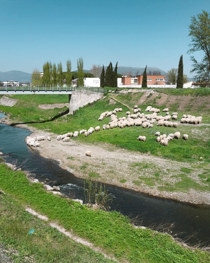
    Flock of sheep grazing on the banks of the Bisenzio river
    Bucolic scenes along the Bisenzio river

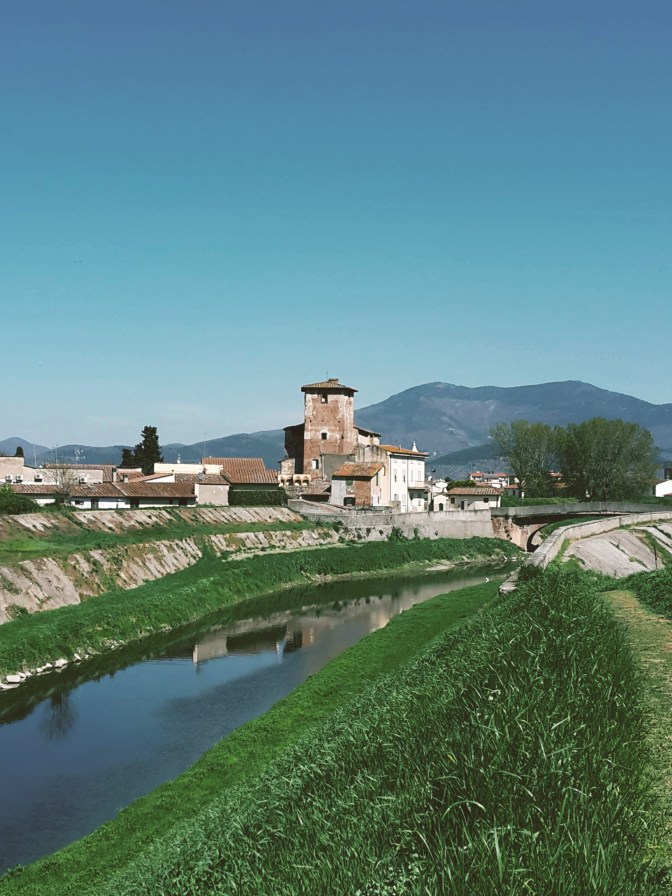
    OK, the trail between Signa and San Mauro is uninspiring. Vegetation is overgrown and the low thick bush makes for an unpleasant walk. But, hey! We are in Tuscany and this is the Renaissance Ring! We finish this section very quickly, and soon things improve considerably on the way to Campi Bisenzio. We cross to the other bank, and the river walk becomes what I expected. We can finally enjoy the Bisenzio, a tame river, one of the tributaries of the Arno, where blue herons and eagrets feed, giant wels catfish jump in the air, and local Tuscans sunbathe on the banks while their dogs frolic in its waters. Every once in while, turn around for a beautiful sight of Signa, on the now distant hills.

    The plains between Florence and Pistoia make an important industrial zone in Tuscany, full of warehouses, factories and connecting highways. It’s surprising how quiet and peaceful the hike along the Bisenzio is. It feels like a walk in the countryside. Occasionally, we see small land owners planting their grain and tending their gardens and greenhouses. Ahead, the ranges of the Calvana and Monte Morello make for a stimulating background. The Renassaince Ring will eventually take us up to the park of Monte Morello, once we pass Calenzano.

    Medieval brick castle Rocca Strozzi in Campi Bisenzio
    14th century Strozzi Fortress in Campi Bisenzio

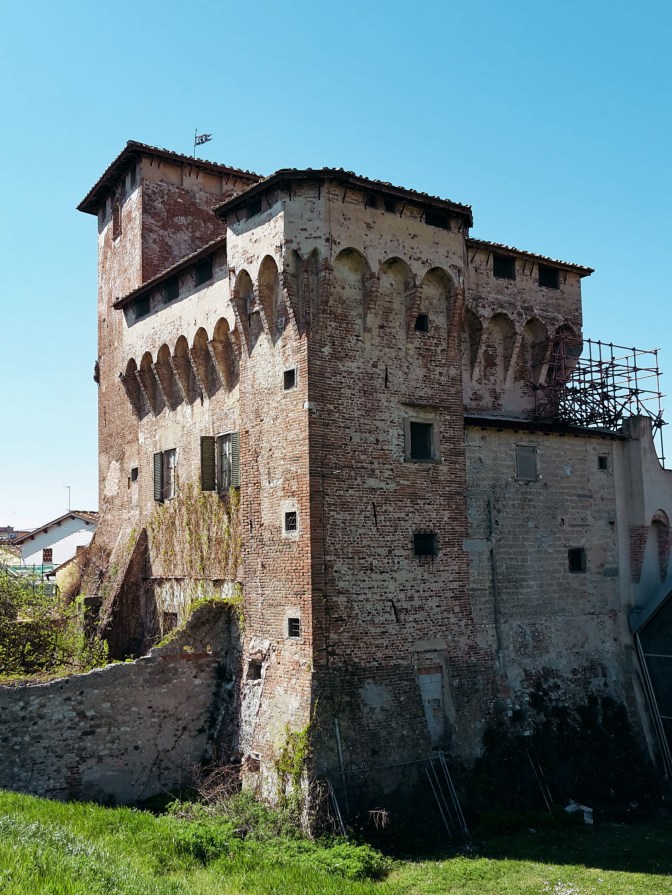
    Arriving in Campi Bisenzio, we first notice the imposing Strozzi Fortress, a 14th-century castle that guards the river and is currently under restoration. Practically a suburb of Florence, the town itself doesn’t offer much more, and we can swiftly make our way to Calenzano. After crossing the bridge to the other bank, we continue to follow the river on a very scenic path. By the neighborhood of Capalle, we’ll cross our last bridge of the day and say our goodbye to the faithful Bisenzio who guided us for the past 6.5 mi (10.5 km). We take Via di San Quirico to the tiny and quaint center, then Via di Pantano to meet the Marinella stream. Don’t cross the bridge! Go right towards the highway and the underpass that will bring us to the commercial area of I Gigli – shopping mall, hypermarket, cinemas…the whole shebang. No need to slow down around here, we soon arrive at train station of Calenzano to end this leg of the hike.

    Like in most Tuscan towns, the surroundings of the Calenzano train station are pretty drab. But let’s not get discouraged, after a few minutes walking on Via del Molino, we cross a bridge over the Marina stream and continue gently uphill on Via del Castello. Things improve fast, as we pass by the 19th century Villa Peragallo and soon reach the entrance gate of the Castle of Calenzano. The views from Piazza San Niccolò are worth a pause to appreciate what we’ve just accomplished: on the horizon, Signa appears as a hazy cluster lodged at the feet of Montalbano. I welcome the sight of the Calvana and its main peaks – Retaia, Cocolla and Cantagrilli. Although they aren’t in the program today, I very much enjoy hiking up there.

    Next stop is the church of San Donato, which has been around since the 9th century, on the adjacent hill. We continue east on Via di San Donato, passing under the highway to Via delle Vigne and the 11th century church of San Rufignano a Sommaia. The trail then turns westward by a house with tiny Medici crest, and shortly we pass a bar that keeps cars from going further into the park of Monte Morello. We continue on a forest road that contours the slopes of Monte Morello offering magnificent views of the surrounding countryside until we reach the church of San Giusto a Gualdo, which has been transformed into a shelter for hikers.

    After the shelter, the trail follows the road for a short while before we take path CAI n.11 by the Vecciolino spring. Now, pay attention as you arrive at an inhabited area with a bee farm. The Renaissance Ring continues through here but this area also houses an archery range. There are plenty of signs, ribbons, painted arrows and foot trails to take you to the several practicing targets. If you start seeing animal props like bears, cows and deer (it’s a bit surreal but makes total sense, in best Italian fashion), you already lost the trail. The path CAI n.11 takes us through woods of pine, cypress, oak and fir trees to the Sella delle Colline, a crossing of several trails. From here, the adventurous soul could take a detour to reach the highest peaks of the range – Poggio Casaccia (3,022 ft / 921 m), Poggio Cornacchiaccia (2,927 ft / 892 m) and Poggio all’Aia (3,064 ft /934 m). This deviation would add at least another 1h30 to the hike and definetly reward you with wonderful views of the surrounding area. To continue on the Renaissance Ring, we take CAI n.7 for a quick descent to Pescina contouring Poggio Trini.

    We leave the woods of Monte Morello to find Via di Pescina, which will take us to Paterno, a secluded suburb of Vaglia. From here on, it’s an easy and bland hike on a not too busy road until we reach the more trafficked road of Via Bolognese that connects Florence and Bologna. Thankfully, we don’t spend much time on it and soon arrive in Vaglia to close the second leg of the trail.

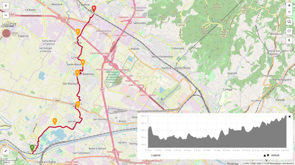
    Trail map from Signa to Calenzano with an elevation profile

    Signa – Campi Bisenzio – Calenzano

    • 3h
    • 8.7 mi (14 km)
    • Depart: Signa train station
    • Arrive: Calenzano train station
    • How to get there: 20-30 min train ride each way from Santa Maria Novella station
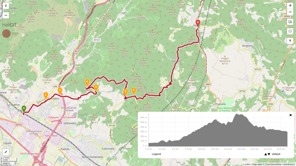
    Trail map from Calenzano to Vaglia with an elevation profile

    Calenzano – Monte Morello – Vaglia

    • 5h
    • 13.1 mi (21.1 km)
    • Depart: Calenzano train station
    • Arrive: Vaglia train station
    • How to get there: 30 min train ride each way from Santa Maria Novella station

    Bus and train timetables in Tuscany change often. If you find a line has changed or a stop has moved, please let other hikers know in the comments below!

    I hope you enjoyed this post! Please write your comments so that the next one becomes even better!

    Next: Renaissance Ring Part 2: from the Mugello to the Sieve →

    Are you tackling the Renaissance Ring one stage at a time? Tell me in the comments which stage you’re starting with.