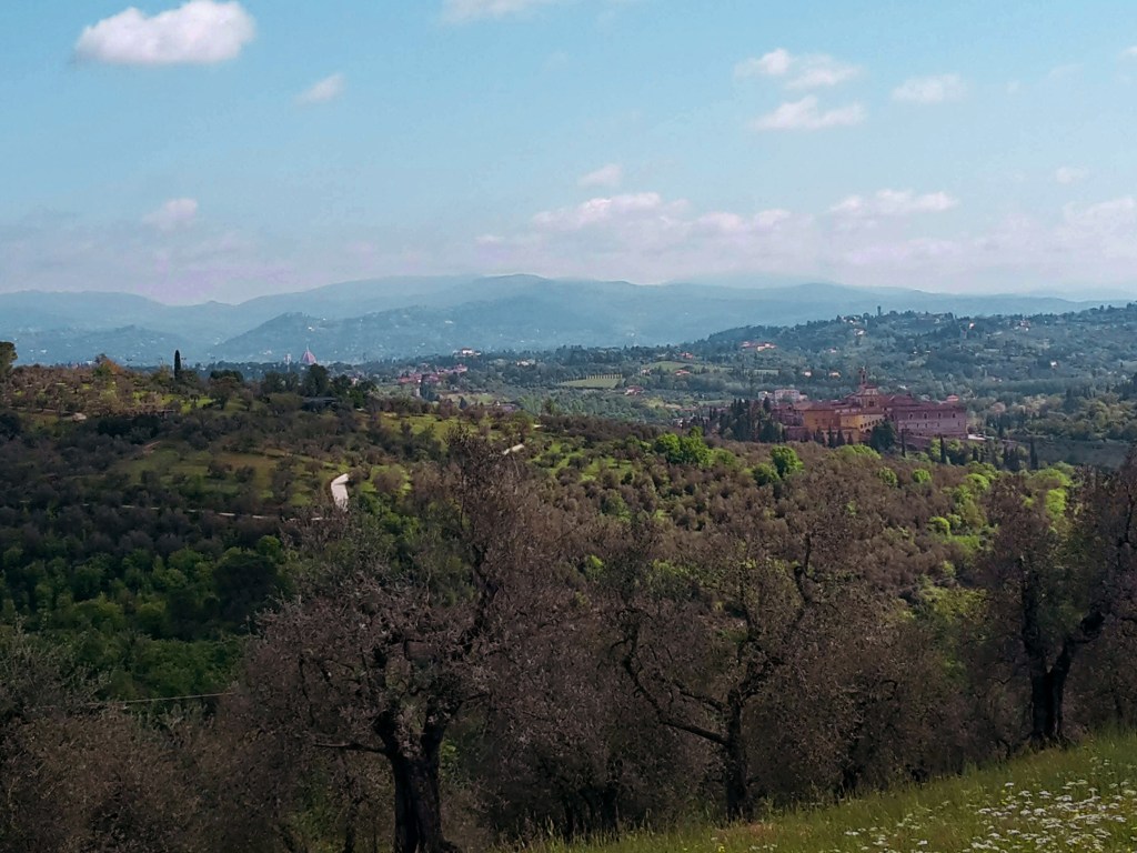
Category: Florentine Countryside

Countryside hikes just outside Florence, Italy: olive groves around Galluzzo and the Certosa, terracotta Impruneta, the Chianti Colli Fiorentini hills and Signa on the Arno. All reachable by city bus or train.

  • Renaissance Ring (Anello del Rinascimento) 4: Impruneta–Signa

    Renaissance Ring (Anello del Rinascimento) 4: Impruneta–Signa

    ← Renaissance Ring Part 3

    The final stretch of the Renaissance Ring takes us on a superb hike from Impruneta, the land of terracotta, through Galluzzo and the magnificent Certosa, to finally reencounter Signa on the banks of the Arno river. Florence reveals itself in all its splendor several times along the way, as we cross olive groves, vineyards and woodlands. It’s a great ending for a very rewarding trail.
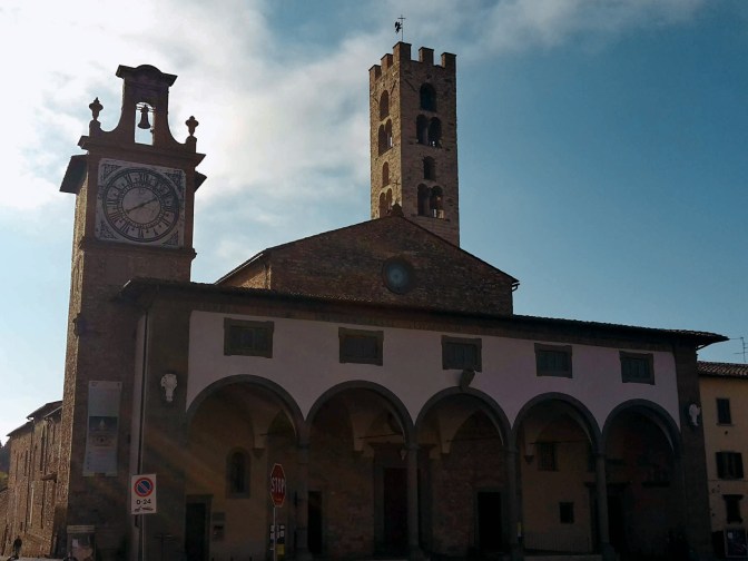
    Church with a loggia and a stone bell tower in Impruneta
    Church of Santa Maria dell’Impruneta

    We depart from Impruneta but not before checking out the charming 11th century church of Santa Maria dell’Impruneta and its elegant 17th century portico. Unfortunately, the interior was mostly destroyed during WW2, including its carved wood ceiling in baroque style. There are some 1940s photos by the entrance that will give you an idea of the magnitude of this disaster. Luckly, the small temples on the right and left sides of the altar survived with their exquisite 15th century panels in glazed terracotta by Luca della Robbia. They also house a 13th century image of the Virgin Mary, fervently worshipped by locals for having saved Impruneta from the plague and other hazards. If you are interested in religious artifacts, you should visit the treasury museum within the church, it’s one of the best in Tuscany.

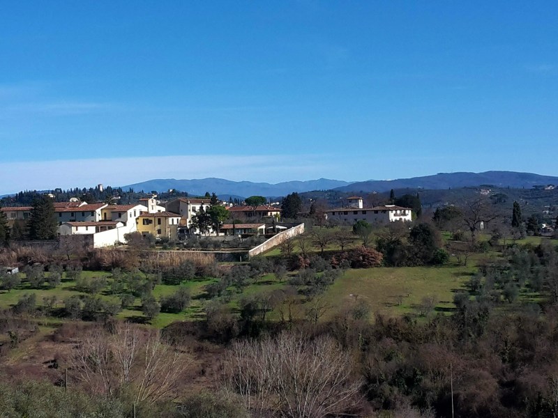
    We go up on Via Leopoldo Vanni, but not without noticing a couple of exquisite terracotta vases decorating the main square, prime examples of Impruneta’s great craftsmanship. We walk on Provincial Road n.70, direction Florence, for about a mile. There is a sidewalk for most of the way, and we can enjoy the bucolic scenery with San Casciano in Val di Pesa on the southwest hills. We take Via Quintole per le Rose uphill to Monte di Meccoli, and we’ll continue on this road almost until Galluzzo, passing by the sleepy neighborhoods of Baruffi and Le Rose and two lovely 12th century churches – San Miniato a Quintole and San Lorenzo alle Rose, both in medieval romanesque style. We turn right in Via Brancolano by Villa Antinori delle Rose, which once belonged to the noble winemaking family and now is available for events and lodging. As we approach Galluzzo, we enjoy a fantastic view of the Certosa, and of the convent of San Paolo, on the hill across the highway. Don’t get too distracted. We arrive at a parking area at the bottom of this path without any trail marks on sight. Go straight ahead to Via Senese, cross it, turn right and then left in Via di Colleramole – the Renaissance Ring continues from here.

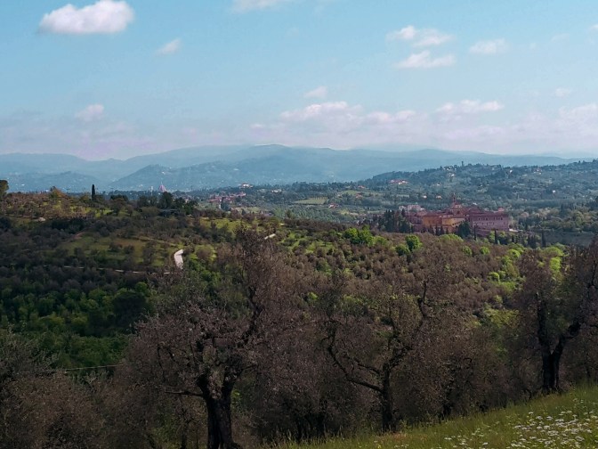
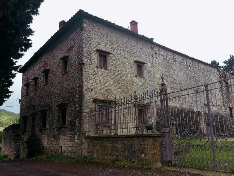
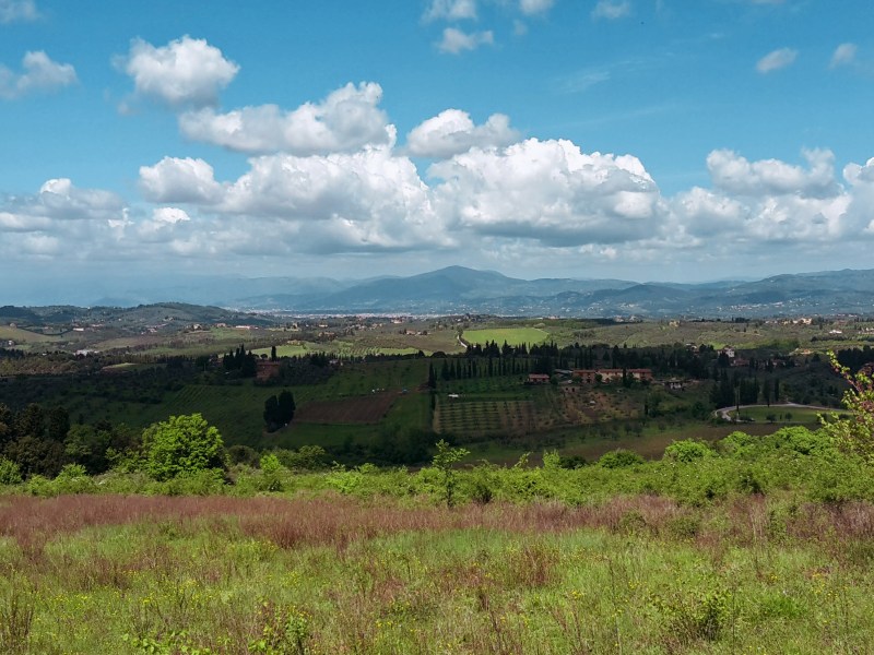
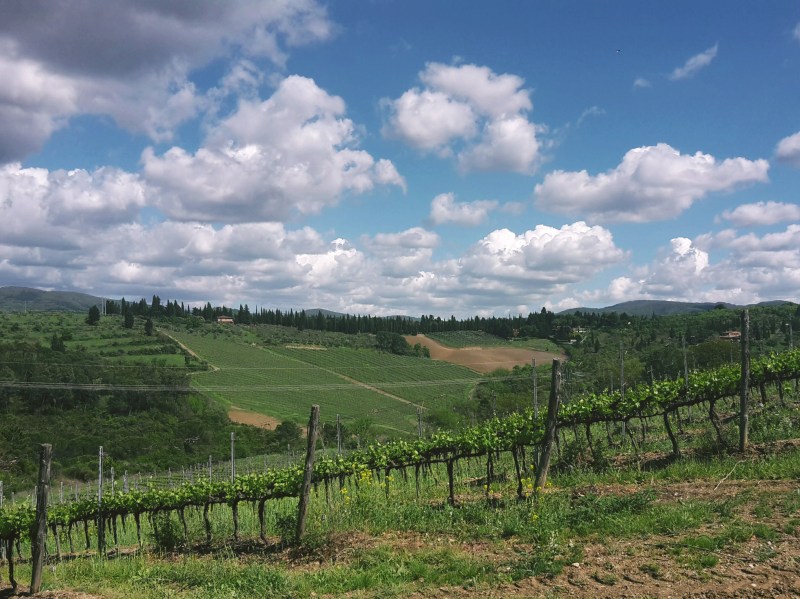
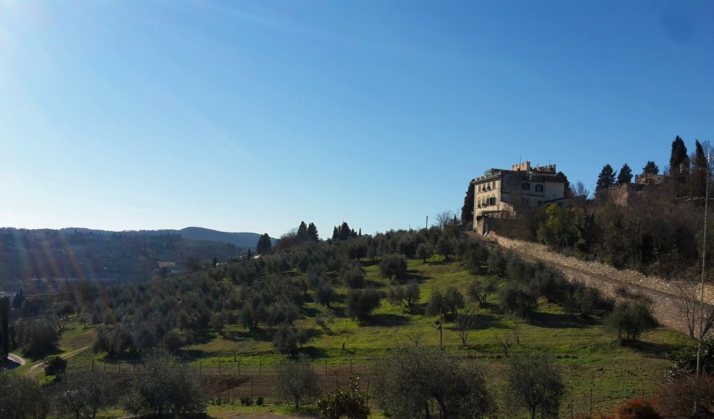
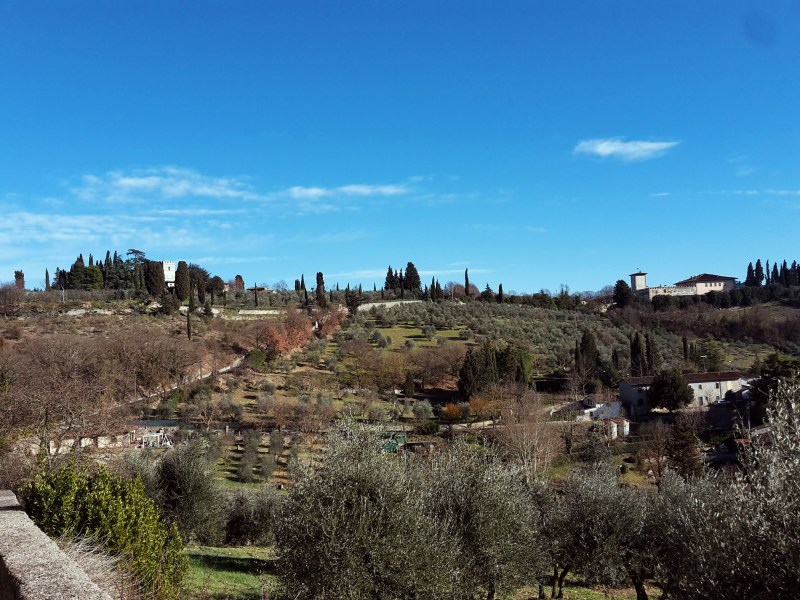
    I’d recommend a detour to visit the Certosa, but make sure you check the times of the guided visits. The wealthy Acciaiuoli family funded the construction of the imposing charterhouse in 14th century and to this date a handful of cistercian monks live an austere life within its cloisters. They substituted the original and stricter carthusians in 1958. Continuing the hike, from via di San Cristofano we enjoy great views of the church of San Lorenzo within the walls of the Certosa. Further up the road, we witness an extraordinary panorama of Florence, it’s hard to turn your back and proceed on the trail. Soon, we pass by extensive vineyards and the elegant 16th century Villa I Collazzi before reaching Via Volterrana. We’ll follow this provincial road for a few hundred yards – pay attention to the trail marks around this area – we get out of the road on the left after the guard rail, then go up through a path in the woods and turn right to go down, returning to Via Volterrana.
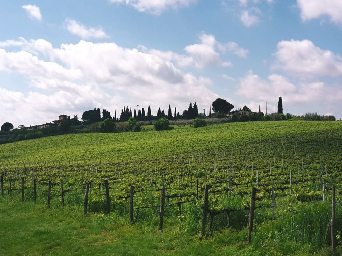
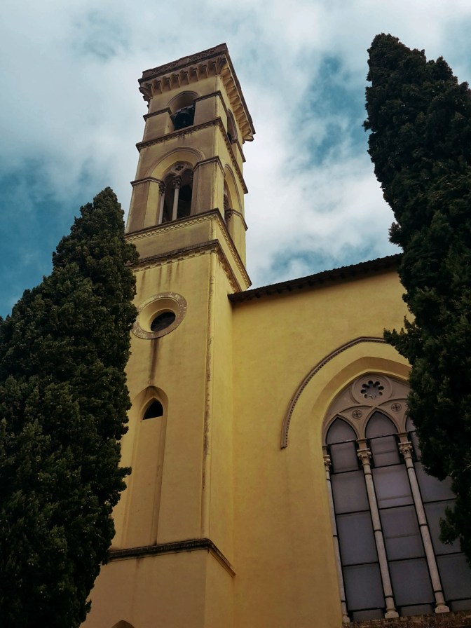
    We cross the road and continue on another downhill path to the left. We quickly get to the bottom and make a u-turn to take the path in the woods to Casignano. Here, we may spot some local wildlife like deer and fox while enjoying a pleasant hike among oak, pine and chestnut trees. After Casignano, we head towards Pian de’ Cerri passing by the rustic chapel of San Zanobi, where the 4th century patron saint of Florence spent some time in contemplation. By La Catena, the path opens to a gorgeous view of the hills around Chiesanuova and we can spot the bell tower of Santa Maria dell’Impruneta in the distance. We continue along the fence of Poggio Valicaia park (don’t go into the park) to arrive in Pian de’ Cerri. We make another u-turn into Via di Mosciano to soon take a left into Via di Fabbrica and another one into Le Pozze. This dirt path makes true to its name: after a rainy day there are plenty of puddles along the mudded way.

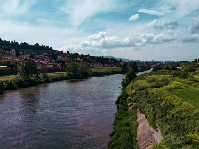
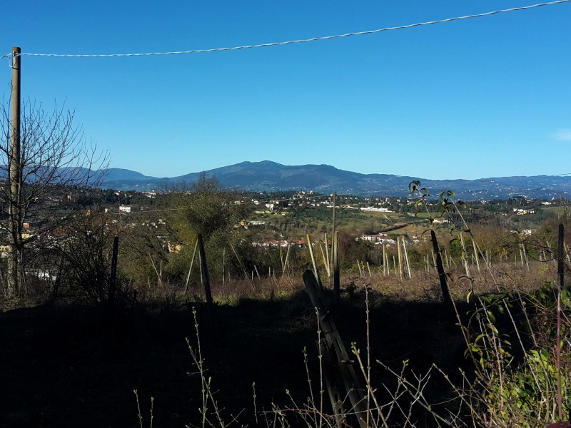
    By Roncigliano, we meet asphalt once again. After we pass vineyards and a private property, we take a left into Via Roveta. The trail contours the hill taking us down to Via delle Fonti where we cross a bridge over the FI-PI-LI highway and reach Via di Naiale. The historical center of Lastra a Signa is less than an hour away. As we approach it, walking on Via San Romolo and Via di Poggio Vittorio we have a chance to enjoy a wonderful view of Signa, perched on the hill across the Arno river, and the plains of the Bisenzio river where we started our hike on the Renaissance Ring. We enter the town through Portone di Baccio, one of the city gates, and pass by the 15th century Spedale di Sant’Antonio and its beautiful loggia. We turn left on Via 24 Maggio to reach Signa through Porta Pisana – the gate that opens to Pisa. We’ll go under the railway and then the road, before finding a pedestrian bridge that crosses the Arno by Piazza Guido Andrei.

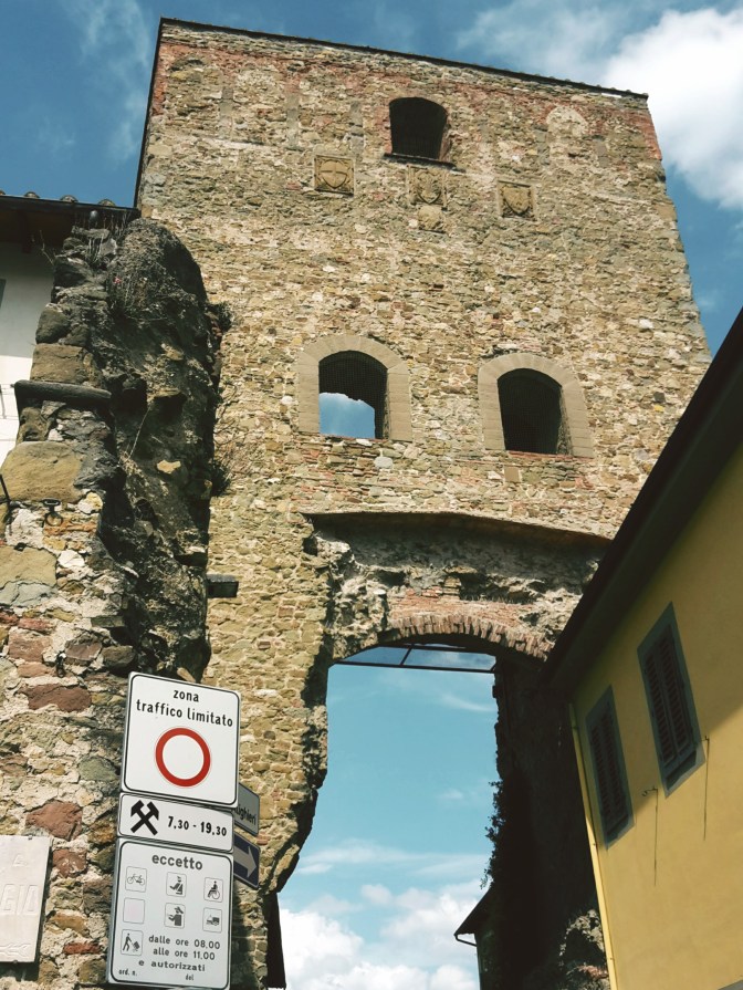
    It’s bittersweet. It feels great to close this 105 mile (170km) loop through the majestic Florentine countryside. But I wish this wasn’t the end. Well, I’m already planning to come back and hike on the opposite direction – maybe I’ll bring some friends with me. Happiness is to be shared, after all. I have new adventures in my near future plans, including hiking the main circular trail around the Apennines. Stay tuned!

    I hope you liked this post! Send me your comments so this blog keeps getting better!

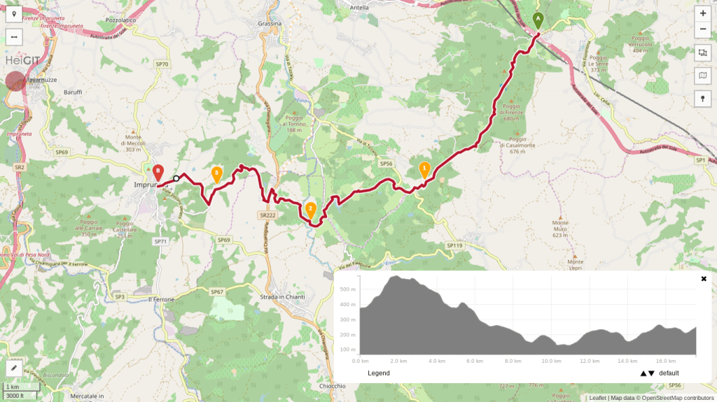
    Trail map from Impruneta to Galluzzo with an elevation profile

    Impruneta – Galluzzo

    • 1h30
    • 4.3 miles (6.9 km)
    • Arrive: Impruneta (by bus)
    • Depart: Galluzzo (by bus)
    • How to get there: Line 39A/39B direct from the Autostazione by Firenze SMN train station, or bus 11/36/37 to Galluzzo and change to line 65.

    Trail map from Galluzzo to Signa with an elevation profile

    Galluzzo – Pian de’ Cerri – Signa

    • 5h
    • 14.3 miles (23 km)
    • Arrive: Galluzzo (by bus)
    • Depart: Signa (by train)
    • How to get there: Bus n. 11 (Autolinee Toscane) from Piazza Santa Maria Novella.

    Bus and train timetables in Tuscany change often. If you find a line has changed or a stop has moved, please let other hikers know in the comments below!

    Back to the start: Renaissance Ring Part 1 · All four parts

    Have you closed the full loop of the Renaissance Ring? I’d love to hear how long it took you. Drop a comment below.
  • Renaissance Ring (Anello del Rinascimento) 3: Chianti hills

    Renaissance Ring (Anello del Rinascimento) 3: Chianti hills

    ← Renaissance Ring Part 2

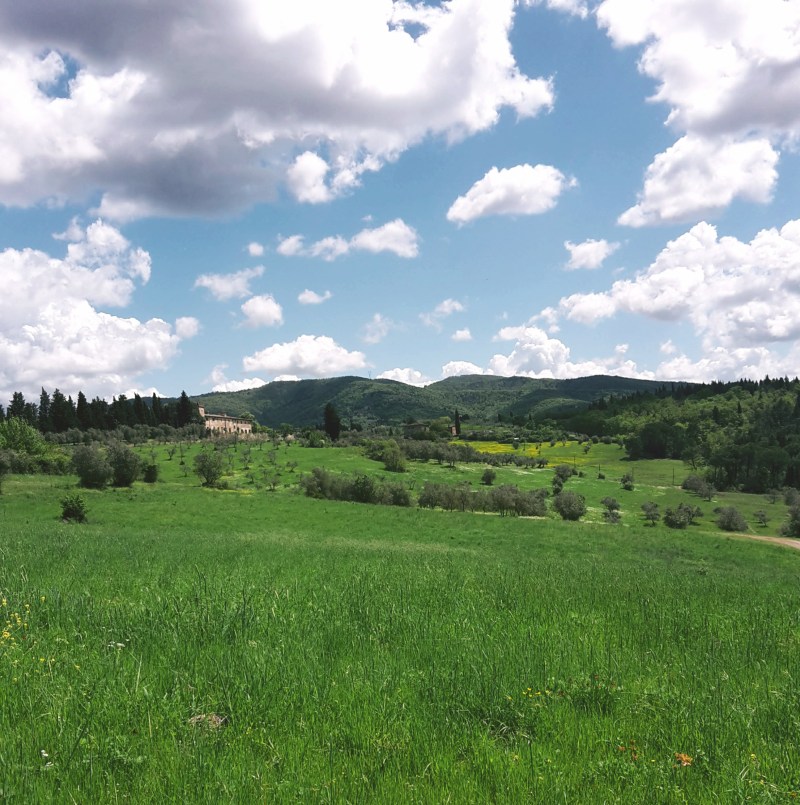
    On the southeast section of the Renaissance Ring, our surroundings will be extremely lush (especially if you choose to hike it in late spring or summer) and we’ll gape at some of the most spectacular views of Florence and the plains beyond it. We’ll cross the Chianti, more precisely the Chianti Colli Fiorentini, a subzone assigned to the hills of Florence. Technically, this isn’t the Chianti Classico, where the famous wine was originally developed and classified, but gorgeous just the same. My only caveat is that, unfortunately, the trail is badly maintained as it nears Impruneta. You may want to take a detour by the town of Santa Cristina, but the rest of your hike will be on asphalt.

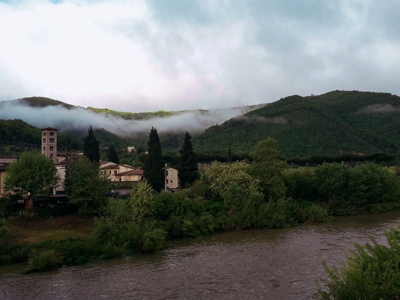
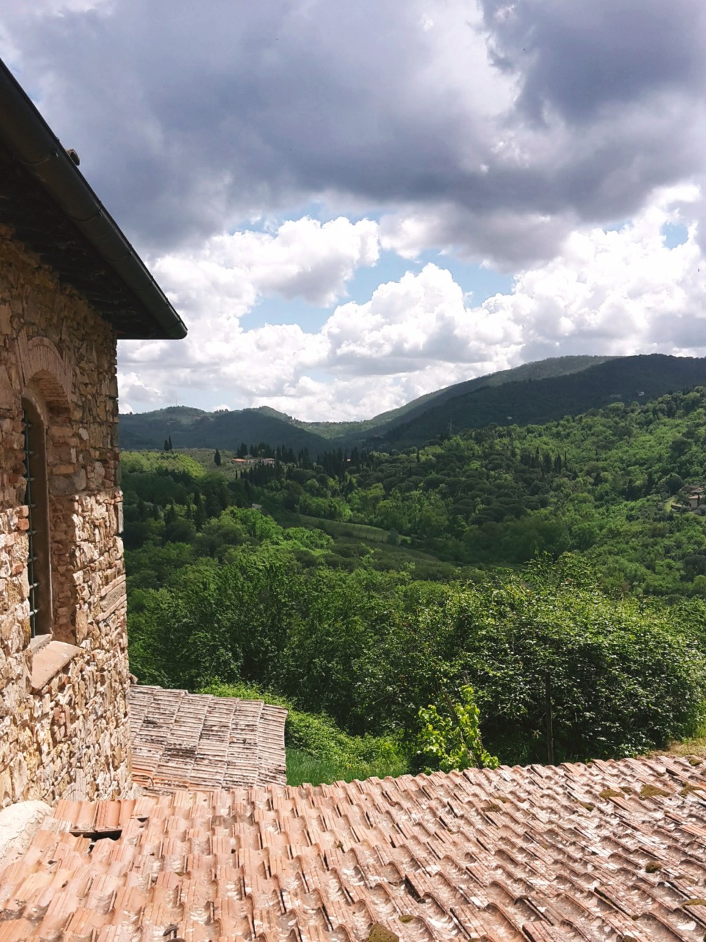
    Forested hills and a valley under dramatic clouds

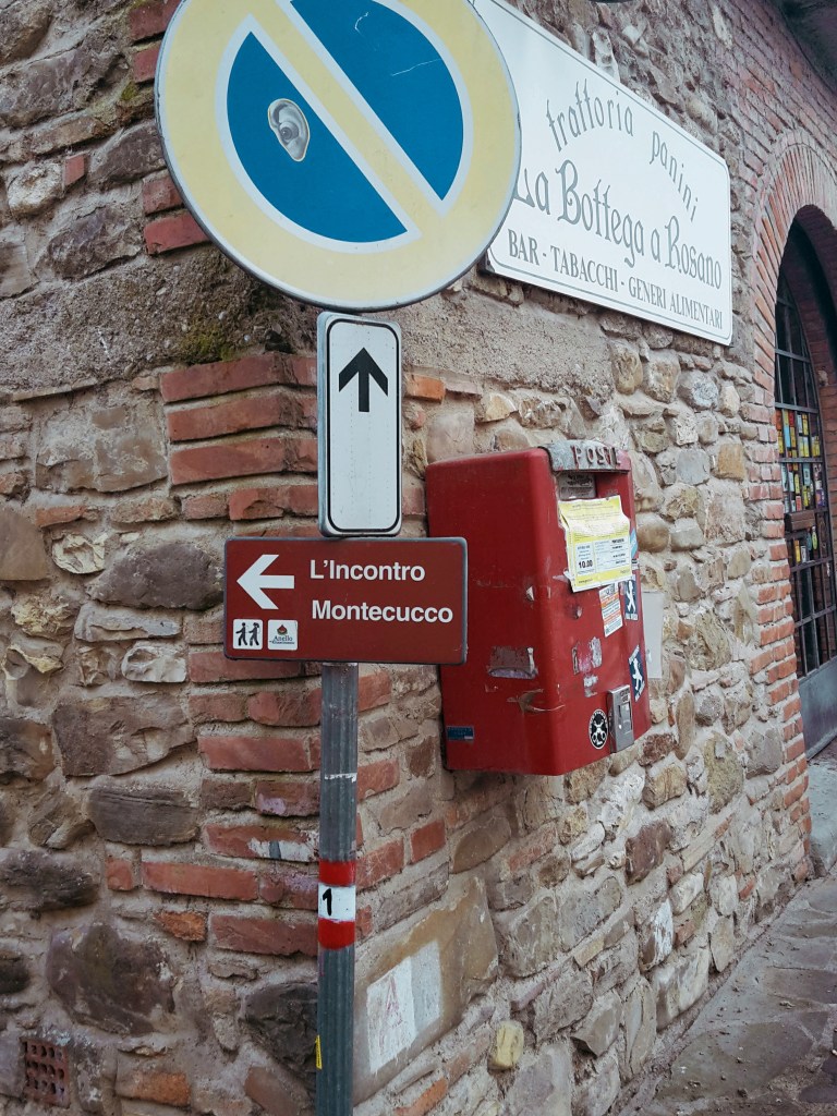
    But first things first! We continue from the train staion of Pontassieve, taking the underground passage to Via Giuseppe Verdi. We turn right and head onto Via di Rosano, which will lead us over the highway, then over the Arno, to the quaint town of Rosano (nowadays a neighborhood of Rignano sull’Arno) cozily nestled at the feet of the Florentine hills. I pause to admire the bell tower of Santa Maria a Rosano, an 8th century monastery and one of the oldest in Italy. We take a right after crossing the bridge and soon we find the signs of the Renaissance Ring, which goes up on Borgo del Monastero towards the convent of Incontro.

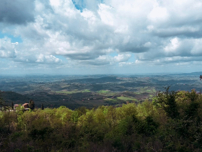
    The first hour of this hike is a steep uphill, alternating between roads through inhabited areas and rocky terrain through dense woods. These hills are mainly made of sandstone so the gravel covering the path can become very slippery on rainy days (or right after them). We turn around every now and then to enjoy breathtaking views of Montefiesole, Pontassieve and the Apennine mountains beyond. Reaching the Incontro, the convent and the church of San Francesco are worth a brief visit, especially for the amazing viewpoint of the Florentine valley. I know it’s hard to leave such a view behind, but don’t worry – there will be plenty more where we’re going.

    We head down to San Donato in Collina through the tiny communities of Croce dei Frati and Monteccuco. Pay attention to the trail marks as you go through them. From Croce dei Frati, it’s a rocky path uphill. As you reach Montecucco, keep going straight south on the road until you find a narrow downhill path bordering a wire fence. We eventually meet the walls of a private property, which we’ll follow downhill for a few minutes before we approach Via Roma. It’s a short hike on this busy provincial road and the welcoming sight of San Donato in Collina makes up for it.

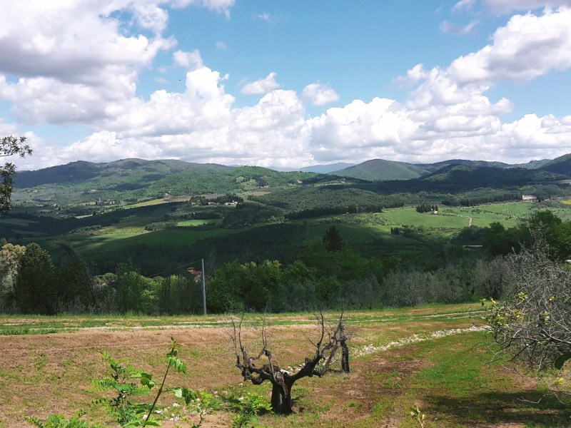
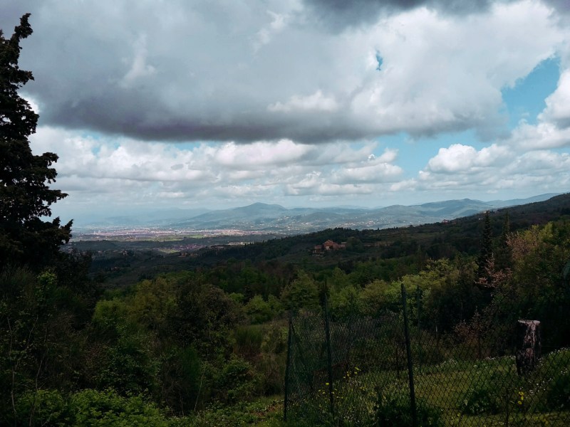
    Wide valley view under a cloudy sky

    We continue into Via Maremmana swiftly passing through the tiny town, unless you’d like to stop for one of its famous frittelle – a deep fried dough sprinkled with powdered sugar. Not as healthy as an energy bar, but definitely tastier! Don’t eat too many though because we have a steep uphill ahead taking us to the park of Fontesanta, a beautiful wooded area characterized by its Mediterranean vegetation, oak and chestnut trees. We go by a hiking shelter where, during WW2, Italian partisans of the Sinigaglia brigade took cover before embarking on their final battle against Nazi Germany to liberate Florence. Further down the path, we encounter the Sasso Scritto, a solid block of sandstone with ancient inscriptions from the 4th century BC (this one is a copy, the original can be found in the Archeological Museum of Florence).

    We leave Fontesanta and reach Tizzano, following Via di Castel Ruggero where we find a historical villa, the delightful church of Santo Stefano, and the 16th castle which gives this road its name. Make sure to take a short detour to check out the front of the church and be rewarded with another stunning panorama of the Florentine valley. Soon after we pass the Ruggero castle (now a Chianti winery), we turn left into Via Petigliolo di Strada and head down to cross the bridge over the Ema river. A dog trainer lives by the bridge – although he keeps his dogs in a kennel, it’s always best to be careful as you approach the area.

    The trail continues uphill to Via Chiantigiana, a main regional highway that connects Florence and Siena cutting through the Chianti. It’s time to decide if you’re up for some rough hiking, or if you’d rather proceed on asphalt for the final 2.5 miles (4 km) to Impruneta. If an easy walk on asphalt sound appealing at this point, go left on Via Chiantigiana, then right on Via Pian di Pancole. This will take you through Santa Cristina and shortly after you’ll arrive in Impruneta.

    If you like a challenge as much as I do, take a right on Via Chiantigiana, then left in Via della Montagnola (just before a gas station) towards Podere Porciana. A closed gate awaits us at the end of this road, but fortunately we can just walk around it. The trail goes left by the building and parking area (you should be facing Impruneta on the hilltop to the west), and down to cross the narrow Grassina stream. This tract is badly kept, we have to trudge through fallen trees, passing by a huge power line before we cross the stream and regain the dirt path uphill to Impruneta. After passing by some private properties on Via delle Terre Bianche, a trail sign we’ll send us into another tortuous and poorly maintained path through the woods. We cross a stream before reaching Via di Fabbiolle and our destination! You can also decide to just ignore the trail sign and continue on Via delle Terre Bianche, turning right on Viale Vittorio Veneto for a faster and more gentle arrival to Impruneta.

    Trail map from Pontassieve to San Donato with an elevation profile

    Pontassieve – Montecucco – San Donato in Collina

    • 2h30
    • 7.8 mi (12.5 km)
    • Arrive: Pontassieve (by train or bus)
    • Depart: San Donato in Collina (by bus)
    • How to get there: 30min train ride to Pontassieve from Firenze Santa Maria Novella train station.
    Trail map from San Donato to Impruneta with an elevation profile

    San Donato in Collina – Tizzano – Impruneta

    • 3h45
    • 11 mi (17.7 km)
    • Arrive: San Donato in Collina (by bus)
    • Depart: Impruneta (by bus)
    • How to get there: Line 351A from Florence (Coluccio Salutati stop) to San Donato in Collina, Monday to Saturday only, no Sunday service, so check the timetable. Back from Impruneta: line 39A/39B direct to the Autostazione by Firenze SMN, or line 65 to Galluzzo and change to bus 11, 36 or 37.

    Bus and train timetables in Tuscany change often. If you find a line has changed or a stop has moved, please let other hikers know in the comments below!

    Thank you for checking out my post! Let me know how I can improve it!

    Next: Renaissance Ring Part 4: Impruneta to Signa →

    Did the Chianti hills on the way to Impruneta surprise you too? Tell me in the comments.

  • Hiking near Florence, Italy: Galluzzo to Impruneta

    Hiking near Florence, Italy: Galluzzo to Impruneta

    I’ve lived in Florence, on and off, for eight years. You’d think that by now I’d know all this beautiful city has to offer. It’s true that I’ve seen more than what your average visitor would see, and maybe even more than some less adventurous locals. But Florence is the gift that keeps on giving. What a gorgeous place I live in! Today, I decided to explore the paths in the southern part of the city and what a surprise! Wonderful scenery available so close home, passing through Galluzzo and reaching the outskirts of Impruneta, an area famous for the quality of terracotta ceramics.

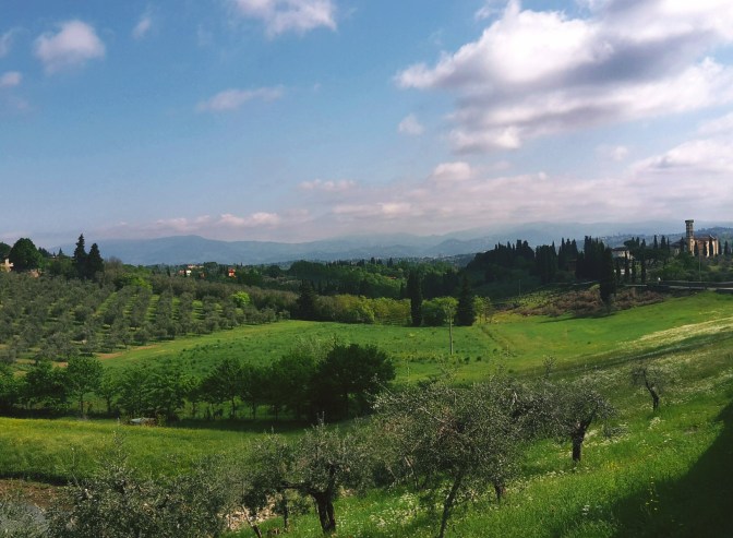
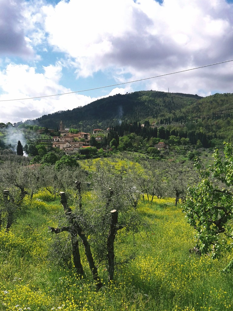
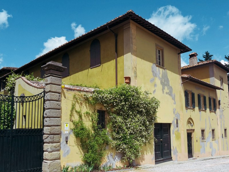
    We will start the walk from Via Senese – the golden arches mark the spot. I know, you wouldn’t expect a beautiful hiking path to start at a McDonalds but trust me, soon you’ll forget this minor detail. Going up Via Bernardo Poccetti, we leave the trafficked road to start enjoying the first views of the bucolic Florentine countryside. We take the left on Via delle Campora, a charming and narrow street. It is one of my favorite streets in Florence, offering us peaceful landscapes, stone townhouses and elegant villas, before it changes to Via delle Romite. The path opens to green olive groves and rosemary bushes cover the walls that flank us on the right, eventually bringing us to Galluzzo.

    We head down Via Santa Chiara for a brief walk around town, arriving at the main square and passing by the public park before continuing to the carthusian monastery on the top of the hill. La Certosa (Charterhouse) can be visited year round. I pass it again on the last stage of the Renaissance Ring. Few monks remain – there were 11 last time I visited – and they are very welcoming and available to lead visitors for an hour around the complex. The times are fixed so check their website beforehand. It’s worth a visit, but I’m not doing that today. It’s a lovely winter day and I want to continue on this hike.

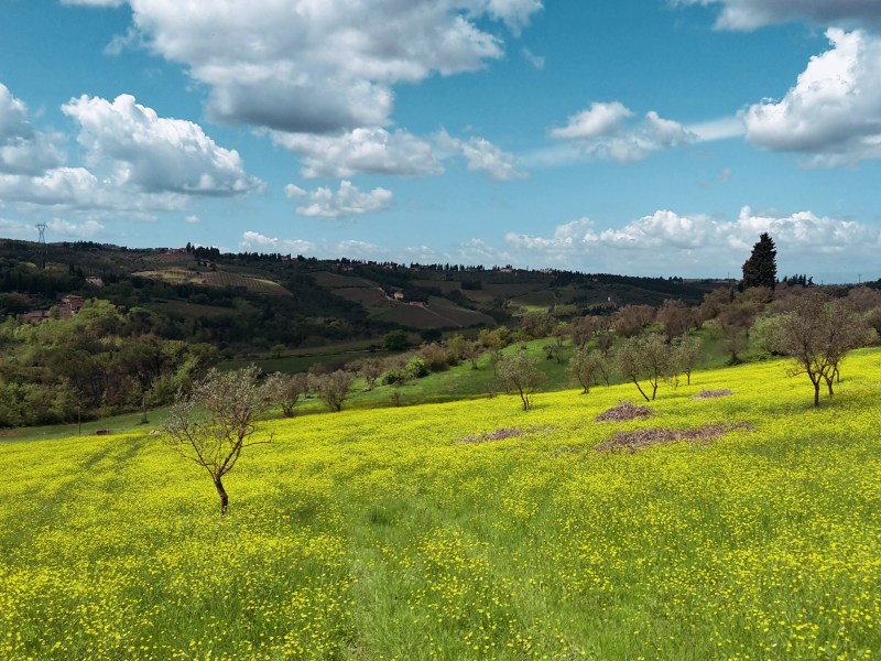
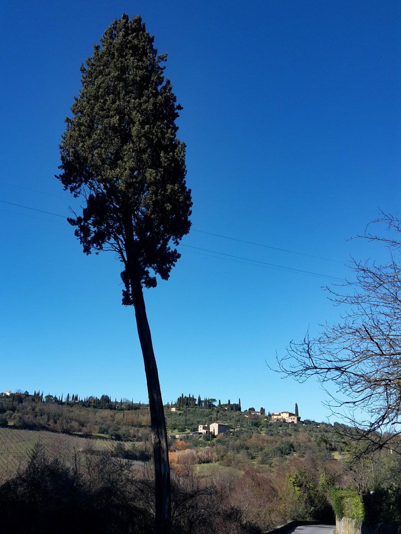
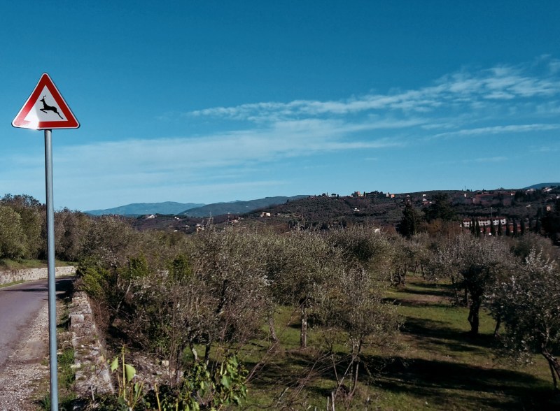
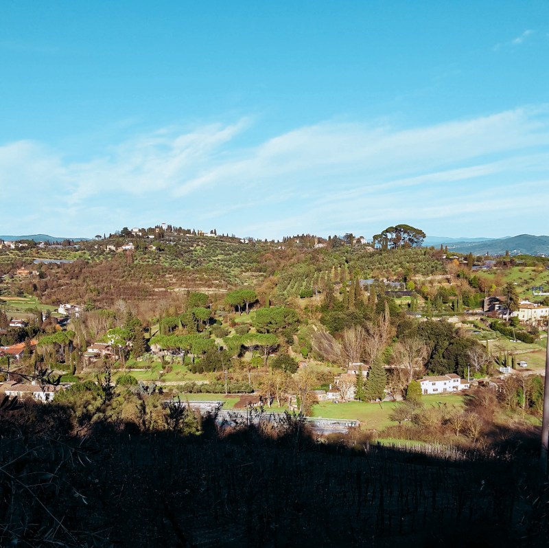
    We are going up again in Via Luigiana, taking us southeast towards Pozzolatico, a neighborhood of Impruneta. Allow plenty of time on this road for breaks, gasping at the sheer beauty of the breathtaking panoramas. At times, the views are so fantastic that they seem fake, like a perfectly designed movie set. The hike to Pozzolatico is a happy one, just take in the olive groves and vineyards sprawling in the valley below. This is Tuscany at its best.

    The wonder continues on Via Vecchia di Pozzolatico, another gorgeous country road, the peace only disturbed by the startled doves and pheasants that populate the area. Clumsy creatures – or maybe I’m the clumsy one. This old road leads us back to Galluzzo while we admire Monte Morello on the other side of the Florentine valley, and on a lucky clear day, the towering Appennines in the far distance. We arrive at the public park of Galluzzo crossing the timid Ema river. After crossing a provincial road at a very confusing roundabout, we find the quaint church of San Felice a Ema, where we take the path on the left for a last walk in the countryside before we reach Via Senese and the end of this amazing hike.

    I hope you enjoyed this hike! Let me know what you think!

    Trail map of the Galluzzo and Impruneta loop with an elevation profile

    Due Strade – Galluzzo – Pozzolatico

    • 2h30
    • 6.2 mi (10km)
    • Depart/Arrive: McDonalds at Via Senese
    • How to get there: Bus n. 11, 36 or 37 (Autolinee Toscane) from Piazza Santa Maria Novella

    Bus and train timetables in Tuscany change often. If you find a line has changed or a stop has moved, please let other hikers know in the comments below!

    Related hikes: Renaissance Ring 3: Chianti hills · Arcetri hills

    Have you walked from Galluzzo out to Impruneta? Let me know in the comments how it went, or ask me anything about the route.