Category: Mugello & Tuscan Apennines

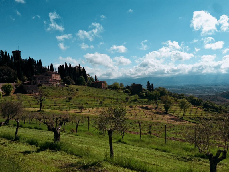
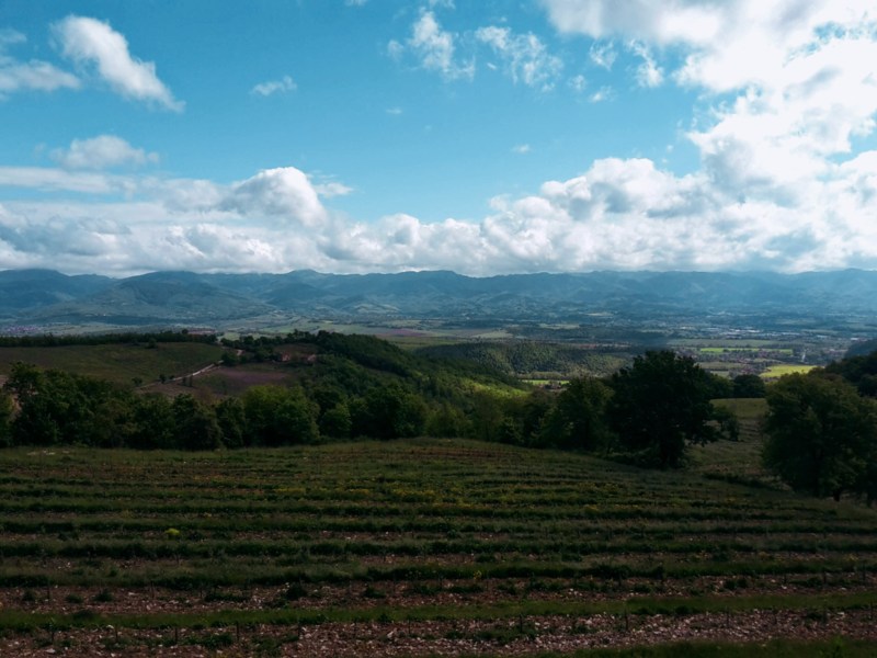
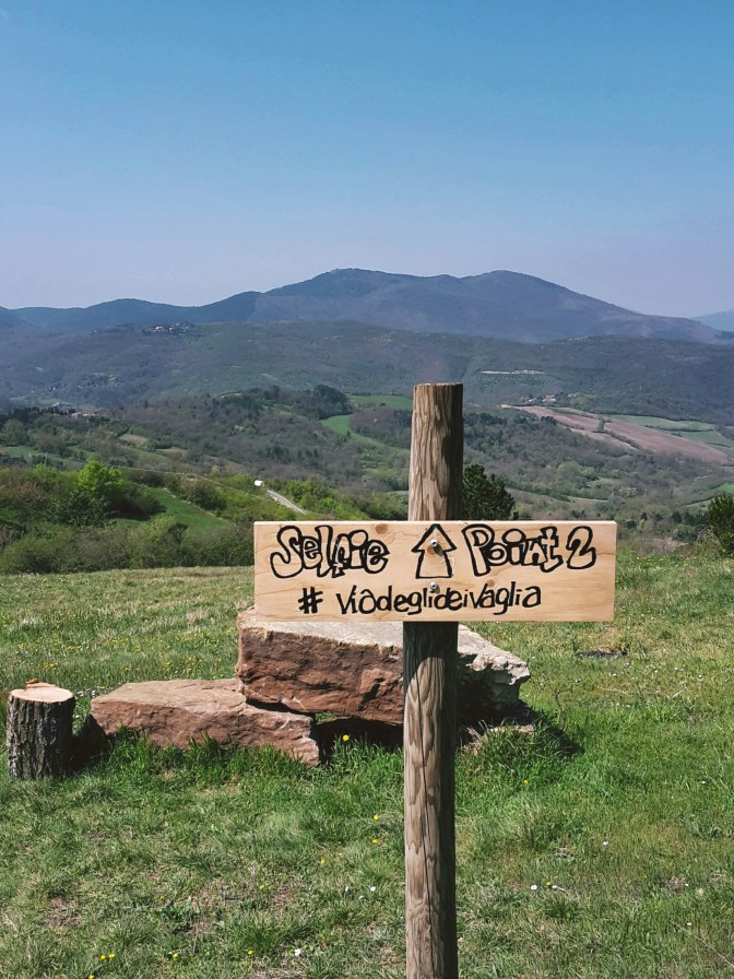
Mountain and ridge hikes north of Florence in the Mugello and the Tuscan Apennines: Monte Senario and the Via degli Dei, the SO.F.T. trail, Passo della Futa and the Gothic Line. Most start from a train station.

  • Passo della Futa Hike: Gothic Line and Apennine Views

    Passo della Futa Hike: Gothic Line and Apennine Views

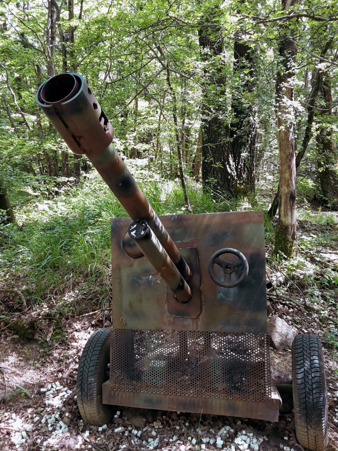
    This part of the Mugello and lower Apennines is extremely beautiful and served by several trails. Along the way, we hike through the Gothic Line, the Nazi defensive line during WW2 now turned into a memorial park. I decided to continue on the SO.F.T. trail, following the main ring from Le Soda to Passo della Futa, which also overlaps with parts of the Path of the Gods (Via Degli Dei) and the Wool and Silk Road (Via della Lana e della Seta). However, to get to Le Soda, we start with a brisk uphill from Vernio mostly on a narrow path after we leave the town.

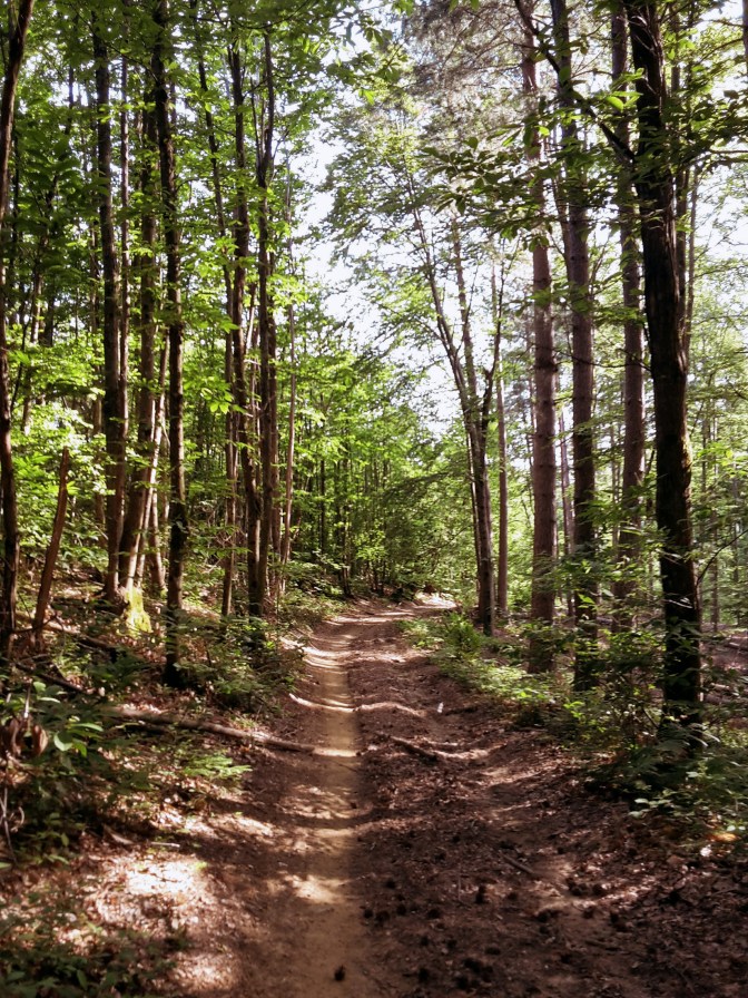
    Once we pass the little house with goats and barking dogs (they give the alert but don’t come near you), we soon reach Le Soda and the junction of the trail heading north towards Poggio de’ Prati (3,041ft/927m). It’s very important to not lose the trail, so keep looking for the AP mark, meaning Anello Principale (main ring). In this area, there is also a smaller loop trail marked as A10 which takes you on a different direction. When you’re close to Quattro Strade take the path that leads to Roncobilaccio and the Santuario of Bocca di Rio. Eventually, you’ll find the post for path CAI n.00 pointing to Passo della Futa, about 2:30h away.

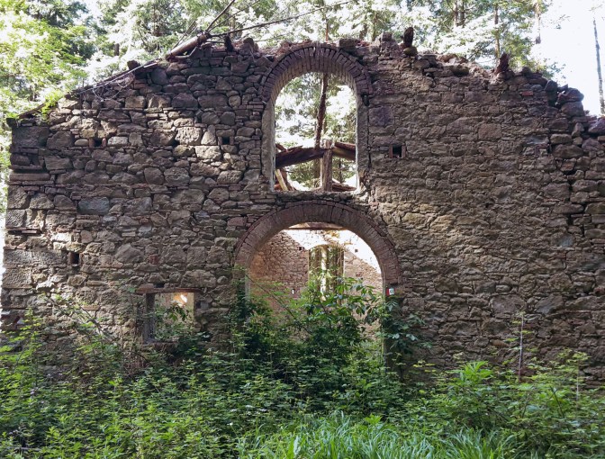
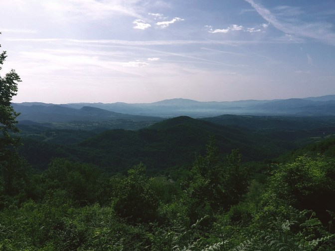
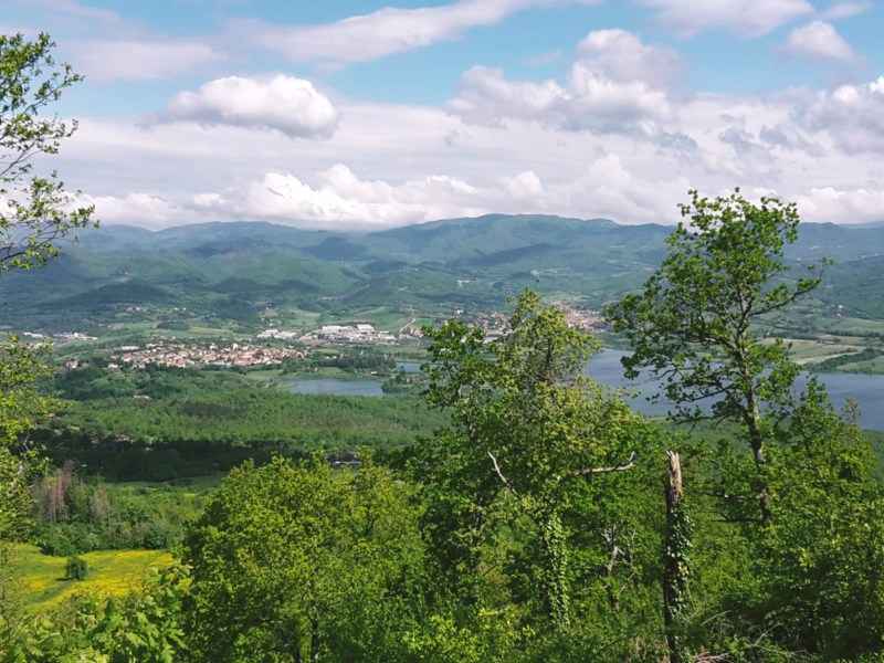
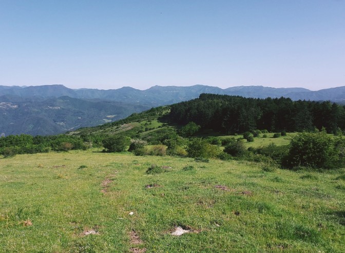
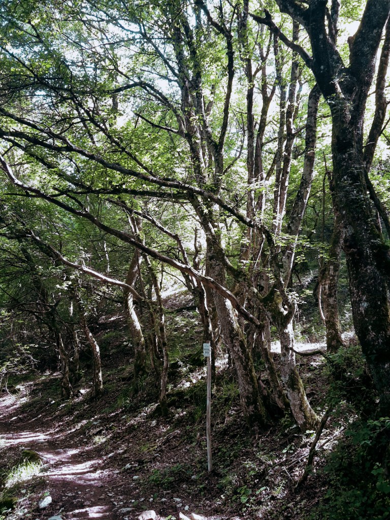
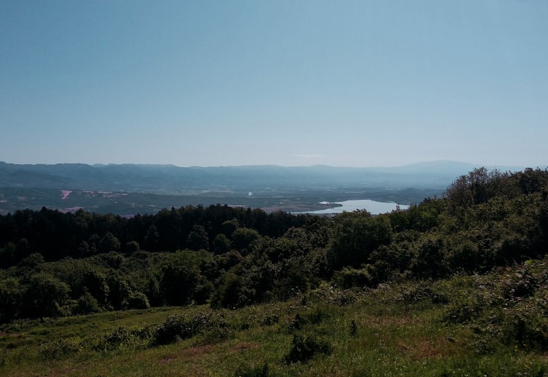
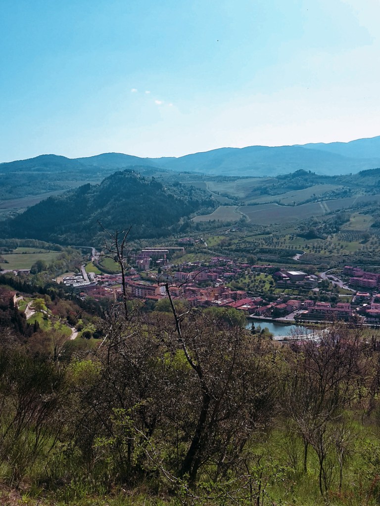
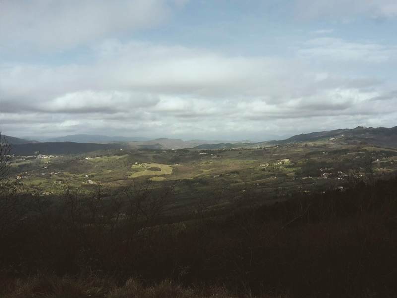
    The trail along the park of the Gothic Line is very peaceful, immersed in a gorgeous beech forest. As I walked on this trail, I couldn’t help thinking how different it must have been in 1944. The history of WW2 is marked along the way on plaques and commemorative stones. You can feel the energy of the place in the air and the unusual silence completes the mood. At a few spots, the forest opens to a spectacular panorama of the Mugello valley below and the man-made Bilacino lake shines against the sky.

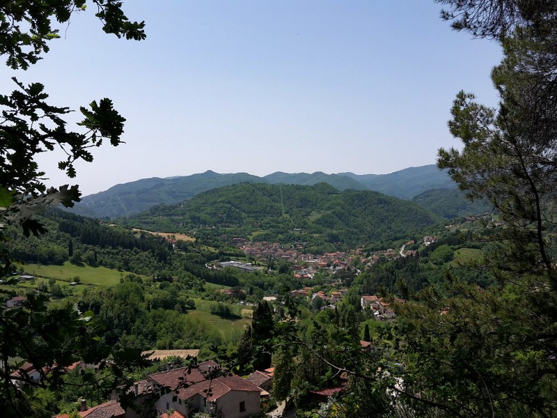
    Forested mountains seen between trees
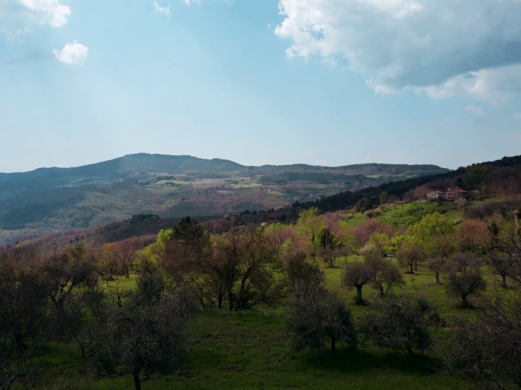
    Panorama from Monte Citerna

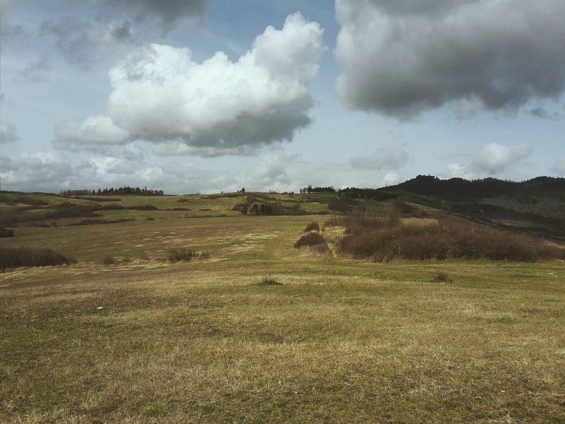
    Once we get out on the asphalt road (Via Citerna), Passo della Futa is only 3 miles away. Here, we have two options – take the easy route on asphalt along the Mugello scenery; or, hike up the wooded path to Monte Citerna (3,143ft/958m), the most challenging part of this trail. In the summer, it gets overgrown with nettle and poison ivy, so avoid this trail if you are allergic (luckly, I’m not).

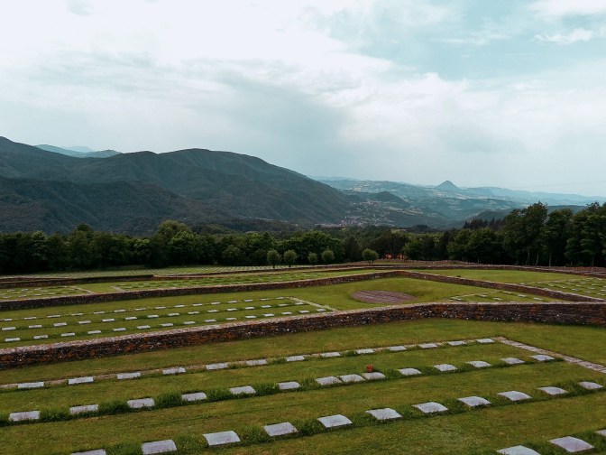
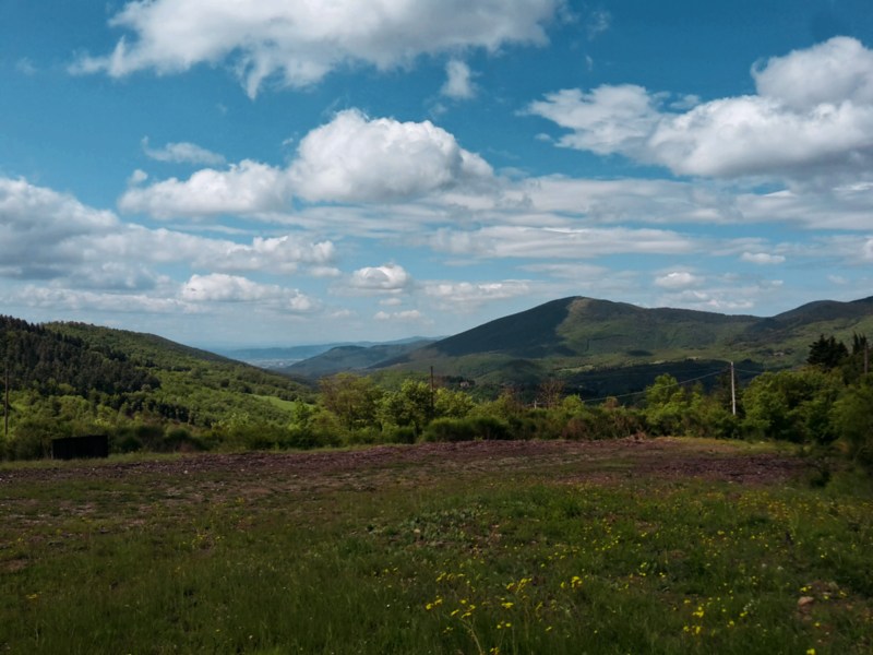
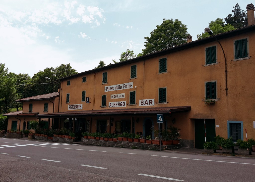
    By Passo della Futa, we find the cemetery for the German soldiers who died around this area during WW2. There are over 30,000 soldiers buried here, a stark reminder of what this continent went through not long ago and hopefully a lesson that won’t be forgotten. Very heavy energy fills the area, and the cold Apennine winds send chills down your spine. While processing all these emotions, I enjoyed the fantastic views of the surrounding mountains. The S.O.FT trail and the Path of the Gods continue towards east. But my day was done, from Passo della Futa, it was an easy downhill to Monte di Fo’ on CAI n.52 where you could spend the night, or – in my case – take the bus back to Florence. (Update, November 2026: from Monte di Fo’, lines 301/304 go to Barberino di Mugello or San Piero a Sieve; change at Barberino for a bus to Florence or at San Piero a Sieve for the train. Check Autolinee Toscane before you go.)

    Trail map from Vernio to the Passo della Futa with an elevation profile

    Vernio-Monte Citerna-Passo della Futa

    • 11.4mi (18.3km)
    • 4h15min
    • Arrive: Vernio (by train)
    • Depart: Monte di Fo’ (by bus)
    • How to get there: From Firenze SMN train station take the regional train to Vernio via Prato (about 1 hour). Back from Monte di Fo’: lines 301/304 to Barberino di Mugello or San Piero a Sieve, then change at Barberino for a bus to Florence or at San Piero a Sieve for the train.

    Bus and train timetables in Tuscany change often. If you find a line has changed or a stop has moved, please let other hikers know in the comments below!

    I hope you enjoyed this post! Please leave your comments so I can improve this site!

    Have you visited the Futa Pass and the Gothic Line memorial? Share your thoughts in the comments.
  • SO.F.T. Trail, Mugello: Hiking the Tuscan Apennines

    SO.F.T. Trail, Mugello: Hiking the Tuscan Apennines

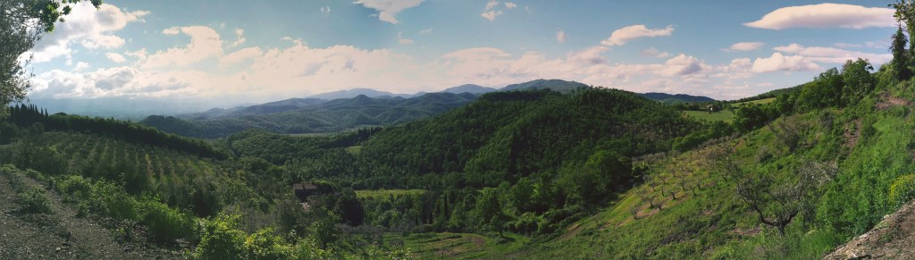
    I’m very excited to explore a hiking trail that long has been in my ‘to do’ list. It’s called Sorgente di Firenze, or SO.F.T., but don’t let this acronym fool you. This isn’t a beginners’ hike since this 115-mile loop around the Mugello takes us through some of the highest Apennine peaks in Tuscany on its eastern tract.

    So, I’m starting it easy, from the delightful town of San Piero a Sieve, a half hour north of Florence. We’re in the heart of the Mugello, a romantic countryside with an important history. Here is where the Medici family started its ascension to wealth in the 13th century as wool merchants and their fingerprint is noticeable throughout the hike. Leaving the train station, we head towards the 10th century church of San Pietro. If open, I’d recommend you take a peak inside: it houses a beautiful 16th century baptismal font in glazed terracotta by Giovanni della Robbia. The trail goes up on Via della Compagnia, then onto Via della Fortezza named after the Medici fortress of San Martino. Unfortunately, the fortress is closed to the public, so only take the 5-min detour to check it out if you are interested in seeing its impressive walls. Their perimeter reach 1 mile, with 145,000 square feet of brick, and you can walk all around it.

    Following the dirt path (or mud, after rain), we move west passing a campsite and soon cross a provincial road to proceed towards Trebbio. We enjoy a gorgeous view of the Apennines and the neighborhood of San Giusto a Fortuna as we go up. An elegant road flanked by cypress trees welcomes us to the Medici villa of Trebbio, one of the first in a series of magnificent properties owned by the famous family. Giovanni dei Bicci lived here in the 14th century, and it was remodeled in the 15th century by Michelozzo by order of Cosimo the Elder. Although listed as a UNESCO World Heritage Site, the villa is privately owned and not open for regular visits. The front gate allows us to peak at the decayed facade, and we can enjoy the rest of the estate, including a delightful chapel backed by a stunning panorama of green hills and the community of Campomigliaio to the south.

    Town of Barberino and Lake Bilancino below green mountains

    We continue west on a rocky path that will take up to Poggio di Cigoli (1,886 ft / 575 m) before heading down to Croce di Calenzano on a pleasant rural landscape. Along the way, we get a glimpse of the lake of Bilancino and Barberino di Mugello on its shores but the numerous oak trees populating the hill don’t allow for an open view of this man-made lake and the surrounding Apennines. Arriving in sleepy Croce di Calenzano, we follow north on Via di Barberino and cross it to find path CAI n.44 in Via di Montemaggiore. Prepare for a good uphill hike ahead until we reach Monte Maggiore, the highest point of the Calvana mountains at 3,005 ft (916 m).

    Meadow with wildflowers below green hills under a cloudy sky

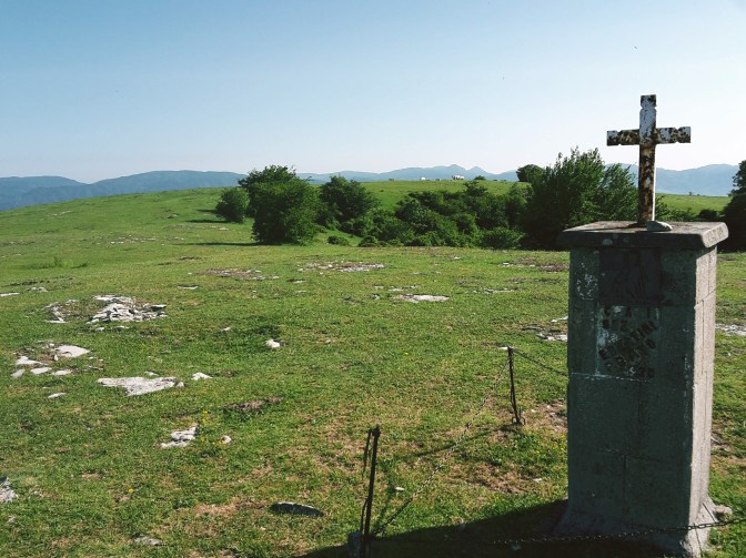
    The initial uphill is on the road, Via Montemaggiore, before with find the trail post sending us on a pleasant wooded trail. The Calvana preserve is home of boar, ferret, marten and wolf, although what I often spot is the capriolo, a type of deer very common in Tuscany. After passing the shelter, we soon leave the pine and oak woods into a clearing. Note the trail mark on a flat stone on the grass that points to the right towards the pines, which we quickly cross to reach a vast grassland. We continue uphill to soon spot a cross that marks the top of Monte Maggiore.

    Often you’ll encounter Calvanina cattle and wild horses grazing in the area. They keep the grass level under control, but on the other hand, horseflies abound in the hot months. Unless you cover yourself with DEET, it becomes very difficult to spend quality time up here. We can enjoy fantastic views of the Mugello, Bilancino Lake and the Apennines to the east; the town of Vaiano and the Pistoiese mountains to the west; and the Florentine valley to the south.

    Grassy mountain meadow with ridges beyond

    We head north towards another wooded area. Path CAI n. 20 is very wide and shaded as we progress to Montecuccoli, which makes for a very enjoyable hike. This is also part of the Road of the Silk and Wool, a 5-day trail connecting Bologna to Prato through the Apennines. The more we hike around here, the more there is to discover. In Montecuccoli, a 5-minute detour takes us to the charming church of San Michele Arcangelo, a real treat if open. It’s another 6.2 miles of little variation in altitude until we approach Le Soda.

    Although the SO.F.T. trail continues to Passo della Futa and beyond, I had enough hiking for a day and I’m ready to head down to the train station in Vernio. We leave path CAI n. 20 to a fast and steep downhill on CAI n.60, passing by a private property (and goats!) before we reach the neighborhood of San Quirico. If you still have energy on the way to the train station, you can take some time to wander around this lovely town, crossed by the Bisenzio river (the same one that we find in Prato and along the Renaissance Road) and its tributary Fiumenta.

    Wooded valley with a town below the mountains

    Thank you for reading! Please share your comments!

    Trail map of the SO.F.T. trail with an elevation profile

    S. Piero a Sieve – Monte Maggiore – Vernio

    • 8h15min
    • 21.4mi (34.5km)
    • Arrive: San Piero a Sieve (by train)
    • Depart: Vernio (by train)
    • How to get there: 30-min train ride from Santa Maria Novella train station. Back from Vernio: regional train via Prato, about 1 hour.

    Bus and train timetables in Tuscany change often. If you find a line has changed or a stop has moved, please let other hikers know in the comments below!

    Related hikes: Monte Senario · Renaissance Ring 2: Mugello

    Tried the SO.F.T. trails or the climb to Monte Maggiore? Leave a comment with how it went, or any trail updates for other hikers.

  • Renaissance Ring (Anello del Rinascimento) 2: Mugello

    Renaissance Ring (Anello del Rinascimento) 2: Mugello

    ← Renaissance Ring Part 1

    The second part of the Renaissance Ring will take us through the beautiful Mugello. From this lush countryside, an unimportant family of wool merchants eventually migrated to Florence to become the most renowned dynasty of Tuscany – the Medici. We will also have a first glimpse at the more challenging Apennine mountain range to the east. Although we don’t reach those extraordinary mountains during this hike, they provide a wonderful scenery for us to admire along the way.

    We restart in Vaglia, a tiny town of 5,000 people. The central area around the train station lacks major attractions, so we can immediately proceed on our hike. The trail continues briskly uphill, first on Via del Poggio agli Uccellini, and then on Via di Signano. A side road leads us to a private property and a gate. Just open it (and close it) to follow on the trail. Beautiful views of Vaglia and the surronding mountains make for a very pleasant hike in this wooded area. Soon, we arrive at an intersection: path CAI n. 20 goes on an inviting uphill (not!) to the left. Do not take this path, unless you feel up to a steep uphill hike in the woods that will take you to the top of Poggio agli Uccellini (1,785 ft / 544 m) without offering any panoramic views.

    Instead, keep going on the path ahead which goes around the hillock and takes us through the neighborhood of Sommavilla to eventually arrive at the campsite of Poggio degli Uccellini. We are back on asphalt and soon after we reach the town of Bivigliano. The parking area at the end of Via Roma have the best views of Monte Morello and the Mugello beyond. The town itself is not much to look at, the most interesting attraction around here is the monastery of Monte Senario. Today, I’m not taking the detour to visit it but you can read more about it on this post:

    Following Via di Monte Senario, the path becomes familiar – this is also part of Via degli Dei (the Path of the Gods) between Florence and Bologna. Heading downhill on a grassy path to Vetta le Croci, we have a feast for our eyes. Facing south, the vast greenery covers the hills, the valley of the Mugnone river and Fiesole appear on the horizon, and Poggio Pratone dominates the landscape at 2,303 ft (702 m).

    We cross Via Faentina to continue on the dirt trail and soon we are on the Provincial Road n.84, where we take a left to reach Alberaccio. Here, the trail continues uphill on the left, following path CAI n. 8 to Madonna del Sasso, a sanctuary built in the 15th century, when the Virgin Mary performed several miraculous apparitions in the area. Although the path goes through the woods, this area has been heavily inhabited historically. We can find several structures (the burraie) where local countryfolk would produce and conserve butter between the 1700s and mid-1900s. In fact, there is a whole trail dedicated to them (the Sentiero delle Burraie), while other paths lead to the highest peaks of the area such as Poggio Ripaghera (2,995 ft / 913 m) and Monte Giovi (3,254 ft / 992 m). Definitely worth exploring, but it will be for a next time.

    We are practically at the end of this leg. I take a few minutes to enjoy the courtyard of Madonna del Sasso and the amazing views of the valley below Santa Brigida. Going around its external wall, we follow an 18th century stone path which still is the main pilgrimage route to access the sanctuary. After a sharp downhill, we approach the town and church named after St. Brigid of Ireland, an early Christian missionary who allegedly retreated herself to hermit life in a local grotto, right under the church erected in her honor.

    From the church of Santa Brigida, we continue on asphalt through Via Piana and then Via di Parga. On our right, rustic panoramas dotted with churches, castles and country villas, and Poggio Pratone (2,303 ft / 702 m) overlooking it all. It’s an easy walk until Fornello, where we take a sharp left into Via di Fornello, ascending in between the houses towards Galiga. The path quickly becomes a rough trail in fragrant woods of pine, cypress and oak. We turn right into a dirt road, then right again into asphalt, on Via di Galiga. Here, we start following path CAI n.7 which will take us all the way to Pontassieve.

    The scenery gets better and better as we get closer to Montefiesole. To the west, the Valdarno – the valley of the Arno river – and its charming greenery of olive groves and vineyards. To the east, the Valdisieve – the valley of the Sieve river – beyond, the imposing Appenine mountain range with some of the highest peaks of the region like Monte Acuto (4,869 ft / 1,484 m) and Monte Falterona (5,427 ft / 1,654 m), where the Arno river is born. Plenty of hiking trails await up there, I have them in my near-future plans.

    A recently restored windmill from the 1700s makes for an unusual sight in Monterifrassine. Soon, we are again on a dirt road, which becomes a rough path going up to Montefiesole and the church of San Lorenzo. Prepare your knees! The last 2 km (1 mi) are a brisk downhill as we drop from 1,600 ft (500 m) to 300 ft (100 m) before we arrive in the historical center of Pontassieve. With its earliest records going back to the 11th century, this town of 20,000 people is worth a quick visit for its old city gates and the Medici bridge that has crossed the Sieve river since the 16th century.

    Trail map from Vaglia to Santa Brigida with an elevation profile

    Vaglia – Vetta le Croce – Santa Brigida

    • 3h30
    • 10 mi (16 km)
    • Arrive: Vaglia (by train)
    • Depart: Santa Brigida (by bus)
    • How to get there: 30min ride from Santa Maria Novella to Vaglia. Line 330C returns from Santa Brigida to Florence, or 331B/331C goes to Pontassieve for trains to Florence (only a few runs a day, so check the timetable)

    Trail map from Santa Brigida to Pontassieve with an elevation profile

    Santa Brigida – Fornello – Pontassieve

    • 3h
    • 8.4 mi (13.5 km)
    • Arrive: Santa Brigida (by bus)
    • Depart: Pontassieve (by train)
    • How to get there: Line 330C from Florence to Santa Brigida (check the timetable; few runs a day)

    Bus and train timetables in Tuscany change often. If you find a line has changed or a stop has moved, please let other hikers know in the comments below!

    Thank you for reading! I hope you enjoyed, please post your comments so I can improve this blog!

    Next: Renaissance Ring Part 3: the Chianti hills →

    Have you hiked through the Mugello along the Sieve? Share your favorite stretch in the comments.
  • Monte Senario Hike from Florence on the Via degli Dei

    Monte Senario Hike from Florence on the Via degli Dei

    I woke up feeling ready to explore somewhere new. It was cloudy outside, but it seemed like a good day to go hiking anyway. Actually, every day is a good day if you have the right attitude and the right gear. And, I’m in Florence, so there isn’t anything too challenging around here that should make me worry about the weather.

    North of Fiesole, Monte Senario houses the most famous monastery of the Mugello region. I’ve been thinking about visiting the area for while. It is also on the popular Via degli Dei – the Path of the Gods – a 62 mile (100 km) trail between Florence and Bologna. Hiking the full path is on my ‘to do’ list but today I wasn’t tackling the whole thing. I was willing to explore this leg though.

    Panoramic view over hills and valleys under heavy clouds
    Omnious sky – are the Gods angry today?

    I started my walk at the Salviatino, in Florence, a lovely area in the Campo di Marte neighborhood that leads up to Fiesole following what is left of the Affrico river, one of the tributary rivers of the Arno. Tamed a long time ago, most of its course runs underground nowadays. We are on path CAI n.7 and the beginning of Via degli Dei which goes uphill for about 40 minutes, taking us by Monte Ceceri and its famous limestone quarries where Michelangiolo tried his first hand at sculpture and Da Vinci unsuccesfully tested his flying contraption. What a great place to absorb the history and the beauty of the Florentine countryside!

    We skirt the neighborhood of Borgunto, at the top of Fiesole, heading east toward San Clemente. The road offers great views of Pian di Mugnone, the valley of the Mugnone river, another tributary of the Arno, and the north side of Fiesole and the Cathedral of St. Romulus. Fiesole is an ancient city, founded by Etruscans at least 700 years before Romans built the castrum of Florence, and definitely worth exploring. But that will be another day. Now, Poggio Pratone at 702m (2,303ft) awaits as we continue toward Monte Senario.

    Rocky trail through pine woods
    Hiking down to the Alberaccio

    Following Via San Clemente, the signs of the Path of the Gods direct us to a side trail to Alberaccio. On the way, we reach the top of our hike at Poggio Pratone to be rewarded with a beautiful view of the Florentine valley and the rolling Chianti hills beyond it. A tombstone commemorates fallen Italian partisans who were massacred in this area fighting against Hitler and Mussolini during World War II. After paying the due respect and taking a last glance at the gorgeous panorama, we continue downhill to Alberaccio and Vetta la Croce.

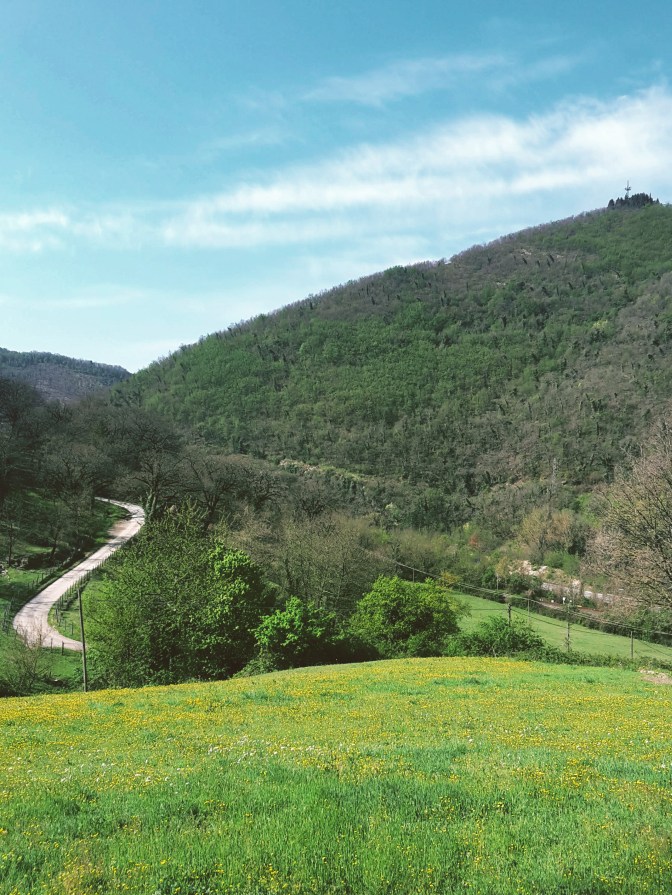
    Soon, the vegetation changes on this side. Thick pine woods block the sun and make for a pleasant hike with amazing views of Fiesole and Monte Morello along the way. We cross the road at Passo alla Catena and continue further north on the path to Alberaccio. From here to Vetta alla Croce is a short hike. At least it should be, but it’s hard to keep going without pausing repetitively and for long periods of time to admire the breathtaking landscape. Looking north, we can already see the monastery of Monte Senario atop the mountain. Looking south, Poggio Pratone, Fiesole and the valley of the Mugnone river are extraordinary. And, the green fields covering this area make it all picture perfect.

    After passing Poggio Capanne, we arrive at the watershed between the Mugnone and Valdarno to the south, and the Mugello to the north. The Mugello looks completely different. This is definitely not the Chianti. Less vines, less olive trees, more fields of grain, more woods of oak, fir and cypress trees, higher mountains. Gorgeous just the same. We follow Via di Monte Senario until we arrive at the parking area of the monastery. Around here, a medieval icebox makes for an unusual sight. The entrance to the monastery grounds call for respectful silence and introspection, and the tall Douglas fir trees flanking the path uphill add to the mood. Positive energy abounds here, I could really feel the batteries recharging as I went up.

    Seven Florentine noblemen established the monastery of Monte Senario in the 13th century. The construction we see today has been modified in the 16th, 18th and 19th centuries as well. Going around it, we can enjoy the Mugello valley down below and the high peaks of the Apennine mountains beyond it. The Path of the Gods continues north from here, but today I only went as far as the junction with path CAI n. 65 which leads us down to Vaglia and its train station. I will be back to complete the hike, sooner rather than later.

    Trail map of the hike to Monte Senario with an elevation profile

    Campo di Marte – Poggio Pratone – Poggio Capanne – Monte Senario – Vaglia

    • 5h30
    • 15mi (24km)
    • Depart: Via Lungo L’Affrico corner with Viale Augusto Righi
    • Arrive: Vaglia train station
    • How to get there: Bus n. 11 (Autolinee Toscane) from Firenze Santa Maria Novella train station (direction Salviatino)

    Bus and train timetables in Tuscany change often. If you find a line has changed or a stop has moved, please let other hikers know in the comments below!

    I hope you enjoyed reading it! Let me know your thoughts!

    Related hikes: Renaissance Ring 1 over Monte Morello · SO.F.T. trail

    Walking the Via degli Dei, or thinking about it? Leave a comment with your plans or questions.