This part of the Mugello and lower Apennines is extremely beautiful and served by several trails. Along the way, we hike through the Gothic Line, the Nazi defensive line during WW2 now turned into a memorial park. I decided to continue on the SO.F.T. trail, following the main ring from Le Soda to Passo della Futa, which also overlaps with parts of the Path of the Gods (Via Degli Dei) and the Wool and Silk Road (Via della Lana e della Seta). However, to get to Le Soda, we start with a brisk uphill from Vernio mostly on a narrow path after we leave the town.


Once we pass the little house with goats and barking dogs (they give the alert but don’t come near you), we soon reach Le Soda and the junction of the trail heading north towards Poggio de’ Prati (3,041ft/927m). It’s very important to not lose the trail, so keep looking for the AP mark, meaning Anello Principale (main ring). In this area, there is also a smaller loop trail marked as A10 which takes you on a different direction. When you’re close to Quattro Strade take the path that leads to Roncobilaccio and the Santuario of Bocca di Rio. Eventually, you’ll find the post for path CAI n.00 pointing to Passo della Futa, about 2:30h away.

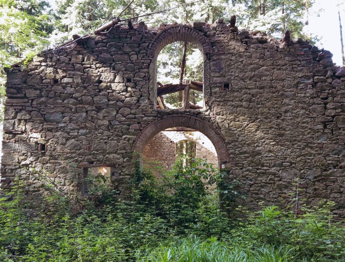
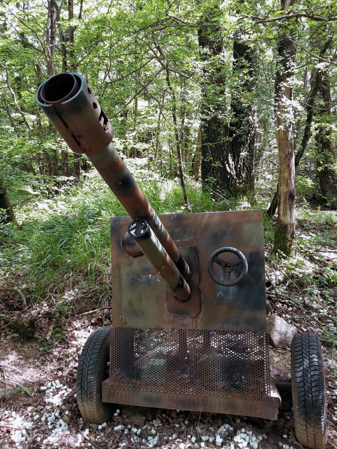
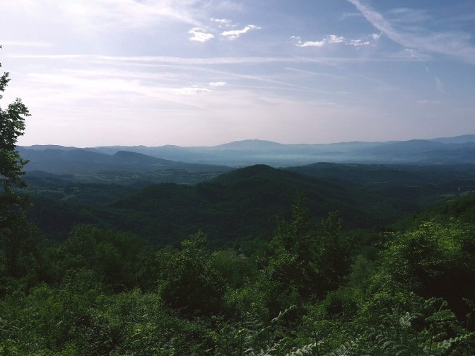
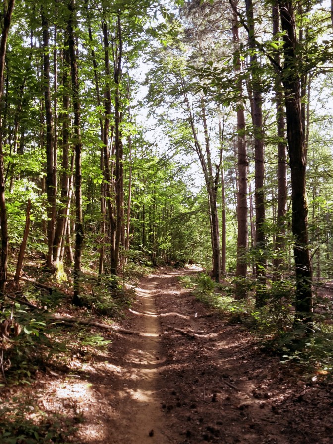
The trail along the park of the Gothic Line is very peaceful, immersed in a gorgeous beech forest. As I walked on this trail, I couldn’t help thinking how different it must have been in 1944. The history of WW2 is marked along the way on plaques and commemorative stones. You can feel the energy of the place in the air and the unusual silence completes the mood. At a few spots, the forest opens to a spectacular panorama of the Mugello valley below and the man-made Bilacino lake shines against the sky.

Once we get out on the asphalt road (Via Citerna), Passo della Futa is only 3 miles away. Here, we have two options – take the easy route on asphalt along the Mugello scenery; or, hike up the wooded path to Monte Citerna (3,143ft/958m), the most challenging part of this trail. In the summer, it gets overgrown with nettle and poison ivy, so avoid this trail if you are allergic (luckly, I’m not).


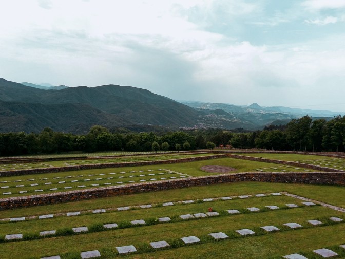
By Passo della Futa, we find the cemetery for the German soldiers who died around this area during WW2. There are over 30,000 soldiers buried here, a stark reminder of what this continent went through not long ago and hopefully a lesson that won’t be forgotten. Very heavy energy fills the area, and the cold Apennine winds send chills down your spine. While processing all these emotions, I enjoyed the fantastic views of the surrounding mountains. The S.O.FT trail and the Path of the Gods continue towards east. But my day was done, from Passo della Futa, it was an easy downhill to Monte di Fo’ on CAI n.52 where you could spend the night, or – in my case – take the bus back to Florence.

Vernio-Monte Citerna-Passo della Futa
- 11.4mi (18.3km)
- 4h15min
- Arrive: Vernio (by train)
- Depart: Monte di Fo’ (by bus)
- How to get there: From Firenze SMN train station take the 40min train ride to Vernio.
I hope you enjoyed this post! Please leave your comments so I can improve this site!
Thank you for the detailed recommendations! I’m here now on vacation from Denver and want to get a hike in…

Happy to learn that my posts were helpful! Enjoy your hike!