Category: Montalbano

Hikes in the Montalbano hills of Tuscany, west of Florence (not the TV detective!): Serravalle Pistoiese, Montevettolini, San Baronto and Vinci, Leonardo’s hometown. Villages, chestnuts, olive groves and wine, by train and bus.

  • Montalbano Hills, Tuscany: Hiking CAI 300 to Vinci

    Montalbano Hills, Tuscany: Hiking CAI 300 to Vinci

    The Montalbano mountains are a part of Tuscany that I thoroughly enjoy. Populated by charming towns filled with history, they are easy to reach from Florence and offer a 20-mile (32.2 km) hike on path CAI n.300, with several other side trails. CAI n. 300 starts from Serravalle Pistoiese, through the northern area which I covered on a previous post about Montalbano and the Valdinievole. Now, I’ll focus on its central section, between San Baronto and Vinci.
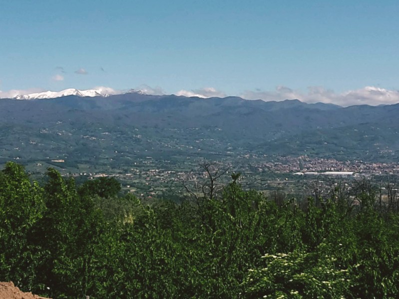
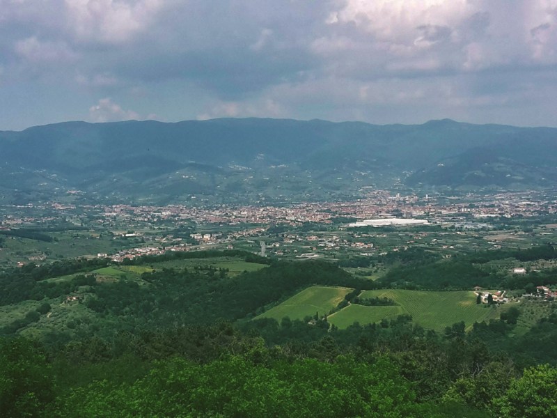
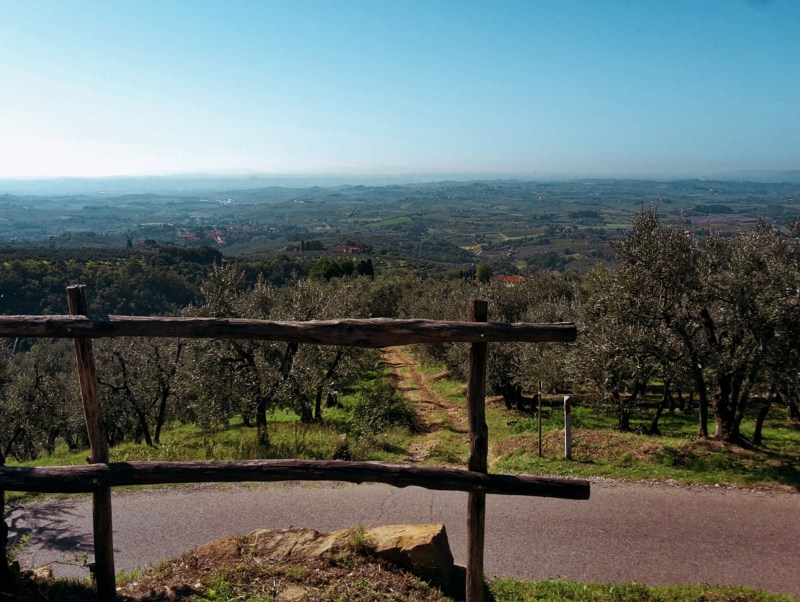
    Wide view over a city and plain below green hills

    The initial hike follows Via Monte uphill for an hour, then it gradually descends to I Papi. Every now and then, we get an opening through the oak and chestnut trees to admire the beautiful panoramas surrounding us: Pistoia and the Abetone mountain area to the north; Valdinievole and the Fucecchio Marshes to the southwest. In fall, the dirt trail gets covered with chestnuts, and you may cross paths with one or more locals gathering them.
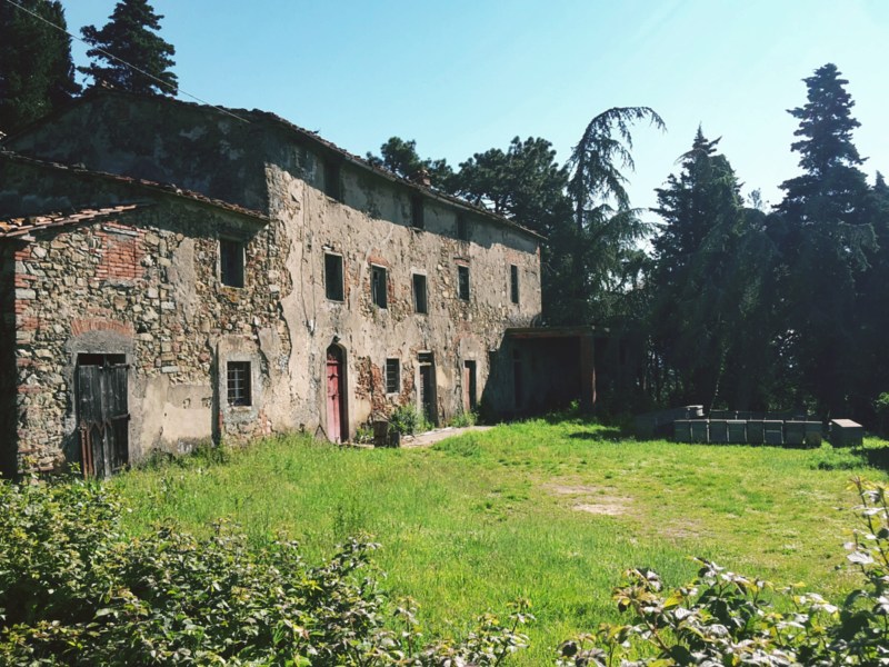
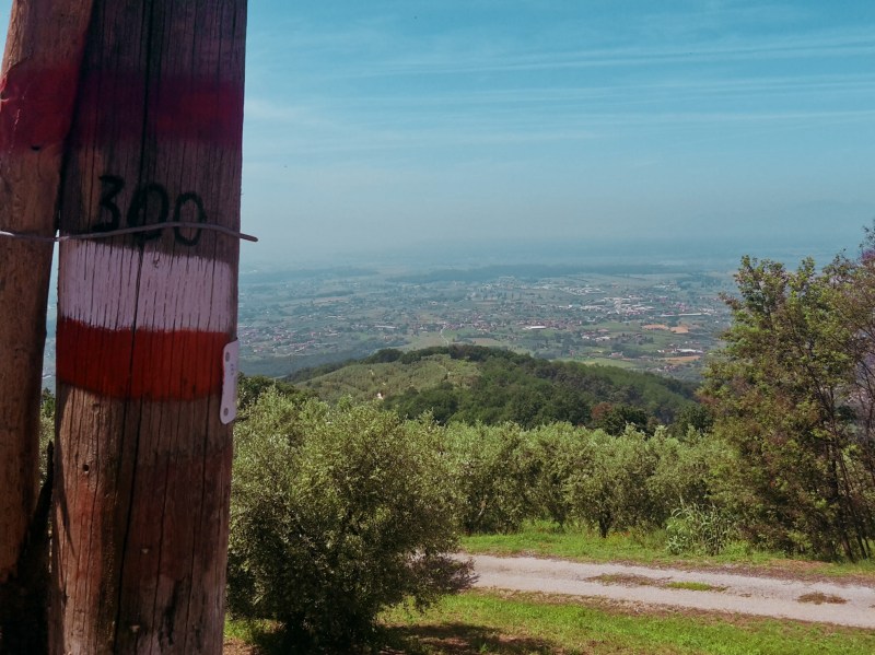
    From I Papi, we head east on the provincial road along an olive grove to soon find a trail sign for Casa al Vento. We go uphill to Monte Rocchina and Monte Cupoli, where the chestnut woods thicken, blocking the view of the Apennines but offering a shaded and lush hike. We proceed on Via Sanbarontana through a sparsely populated area covered by Sangiovese vineyards. These grapes will be transformed in exquisite wine varieties such as Chianti Montalbano and Carmignano. A small subzone of Chianti, Montalbano produces a lighter wine, less tannic and fruitier than a Chianti Classico in my opinion. This wine isn’t readily found outside Tuscany, so enjoy it while you’re here!
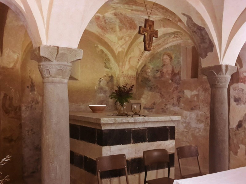
    We cross the community of Mungherino and pause once more to gaze at the striking panorama of the Abetone and Pistoia down below. Soon after we pass the large campsite area of Barco Reale, we head down in Via del Corso to reach San Baronto. The delightful church dedicated to the 8th century benedictine monk who lived in this area was partially destroyed during WW2. Fortunately, it’s medieval crypt survived with some of the original columns, zoomorphic capitals and colorful frescoes.
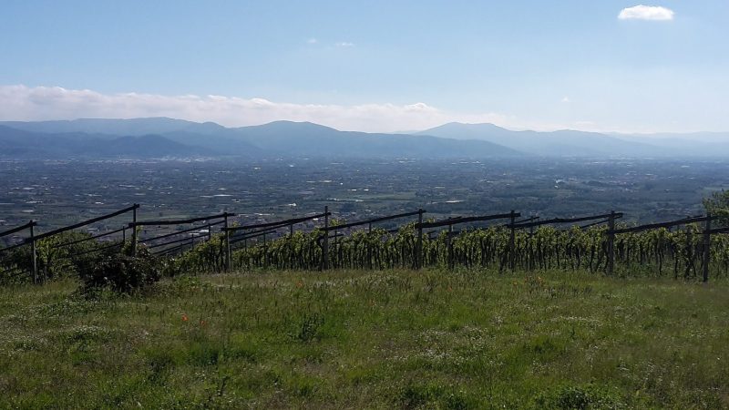
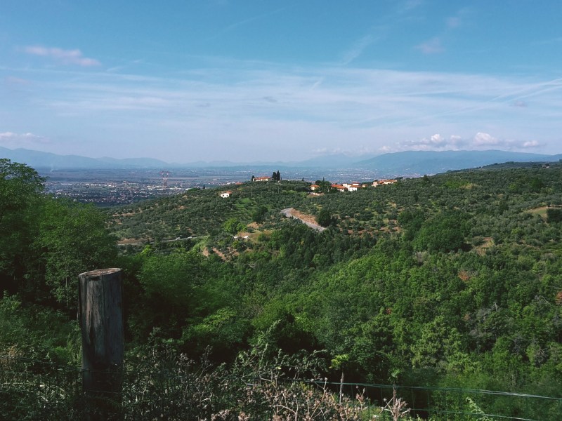
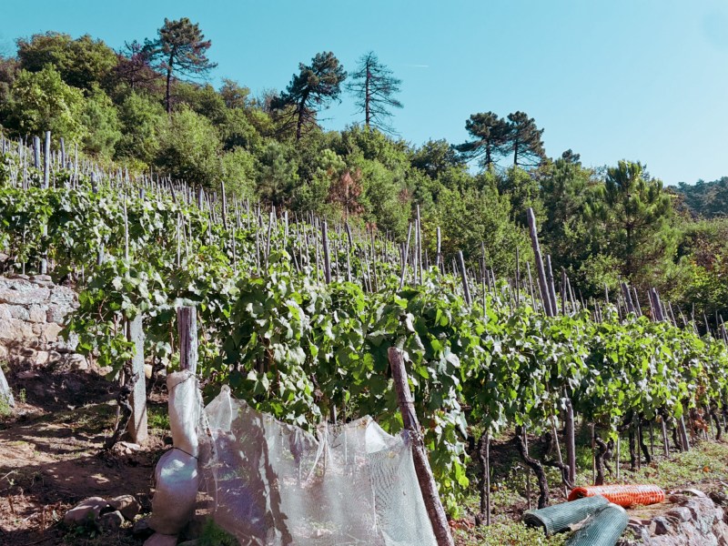
    Vineyard with a view over the plain to distant hills

    From San Baronto, we can continue on CAI n. 300 to Torre di Sant’Alluccio and soon encounter the remains of 17th century walls that enclosed the Barco Reale. These were the hunting grounds of the Medici Grand Dukes, home to wild boar, pheasant, hare, partridge, grouse and other game, some of which still roam these woods. Another worthwhile option is to spend some time exploring the side trails, especially n. 20, 18, 16, and 14, and discover historical sites like Lamporecchio, Sant’Amato and famous Vinci.

    Lamporecchio and Porciano

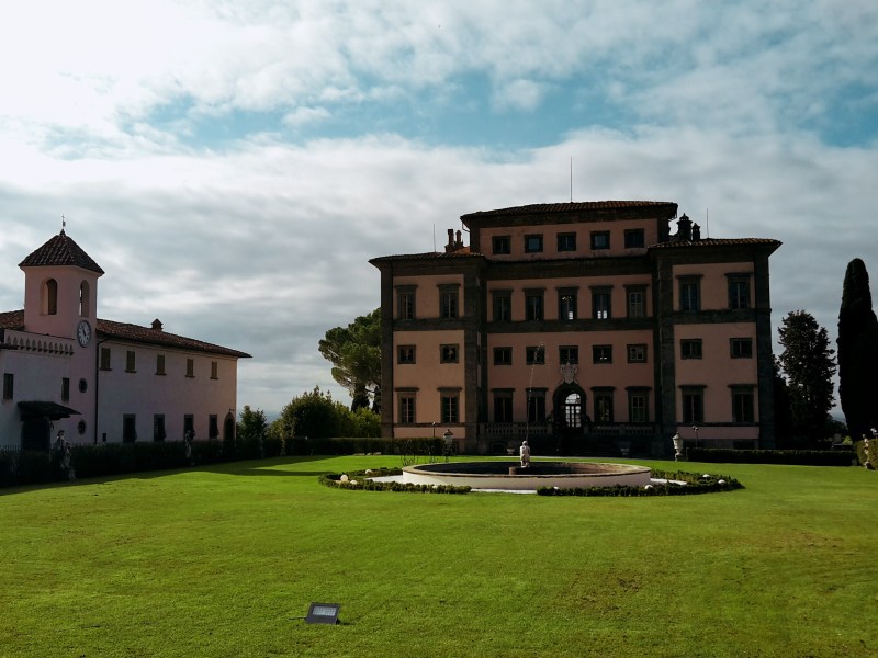
    CAI n. 20 descends from San Baronto to Lamporecchio for about an hour (3 miles). From the church square, we go down on Via dell Chiesa, then Via Pio La Torre, crossing the main road (Via Sambarontana) to reach the oratory of Madonna delle Grazie. The grassy path proceeds to Spicchio, where we are welcomed by a gorgeous view of the elegant Villa Rospigliosi. Commissioned in the 17th century by Pope Clement IX to the amazing artist Gian Lorenzo Bernini, the villa doesn’t have regular visiting hours but you can enjoy a stroll on its grounds if the gate is open.
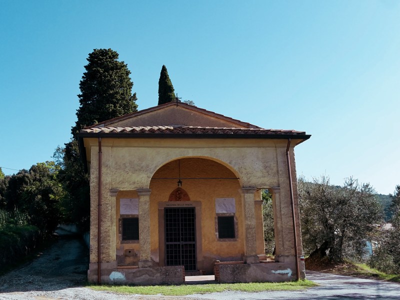
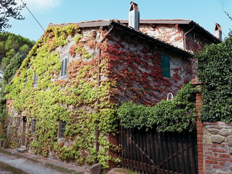
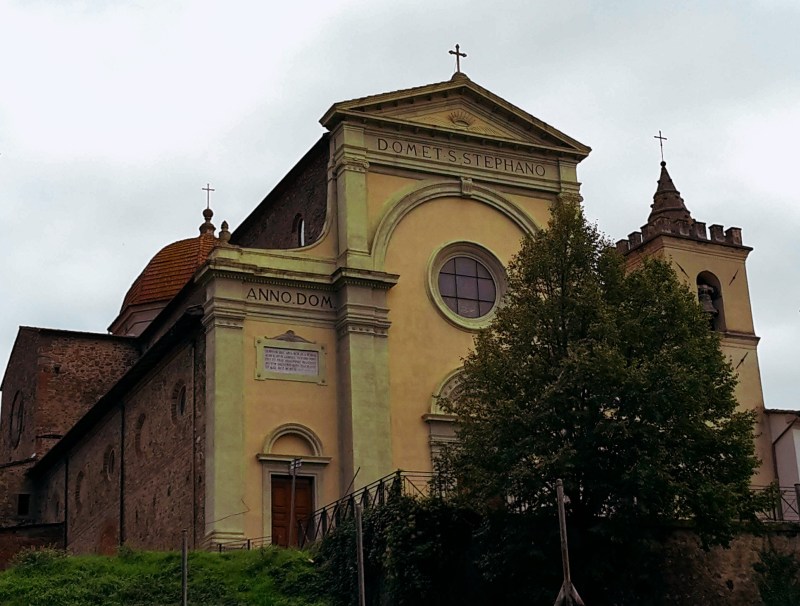
    Further down, quaint Lamporecchio awaits. We follow Via Ventura Vitoni to pass the church of Santo Stefano, which houses a 16th century glazed terracota masterpiece by Giovanni della Robbia. Then, we hike up again towards Papiano on Via di Capalle (CAI n.18C). The surrounding territory is gorgeous, a mix of established vineyards, pristine woods, rustic towers and the open marshes below. We get out of the road taking the left path on a fork, which is the Via Vecchia Maremmana. At the top of the road, dominating the scenery is Villa di Papiano, also called Villa dell’Americana because Laura Merrick, daugther of a wealthy American industrialist, purchased and restored it in 19th century.
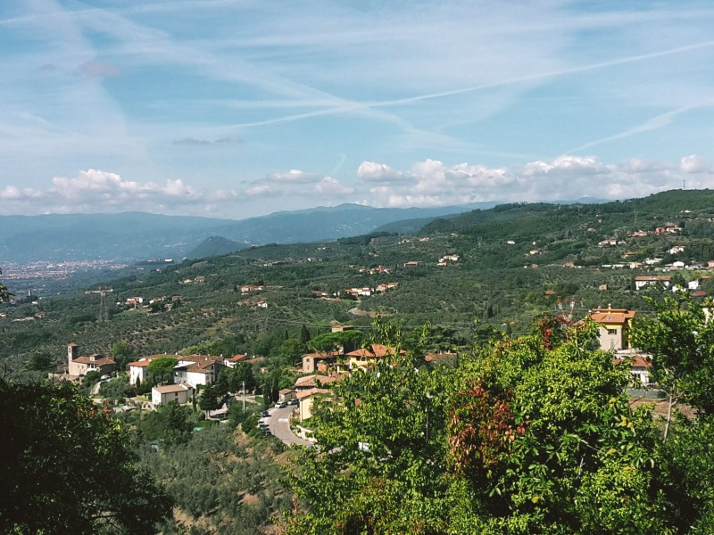
    We continue on Via di Montalbano, a provincial road, to soon arrive in Porciano, where we enjoy the 13th century church of San Giorgio coupled with a terrific panoramic view. After a well-deserved pause, up we go again on Via Poggio alla Baghera, passing by a 12th century tower before getting on a dirt trail and re-encountering CAI n. 300.

    Sant’Amato and Vinci

    Another beautiful part of this territory, the area around Vinci has plenty of charm, history and mysticism. Vineyards and olive tree cover the lower hills, while ritual stones mark ancient Etruscan sites higher up in the mountains. Vinci and Anchiano, the birthplace of Leonardo, take us back to the days of the Renaissance.

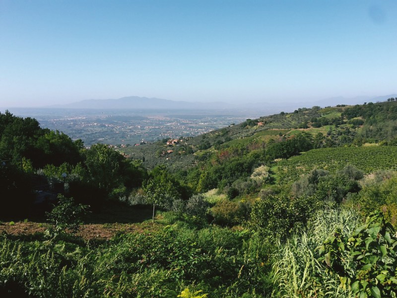
    On a short trail off CAI n. 300, before we reach Torre di Sant’Alluccio, we find the Sasso di Pietra, a massive boulder used by the Etruscans probably as ceremonial grounds. In the winter, climbing the stone offers a spectacular view of the valley below; in the summer, the thick chestnut woods completely block the panorama. From Torre di Sant’Alluccio, an abandoned 12th century tower and hospital, we take CAI n. 14 down to Santa Lucia.
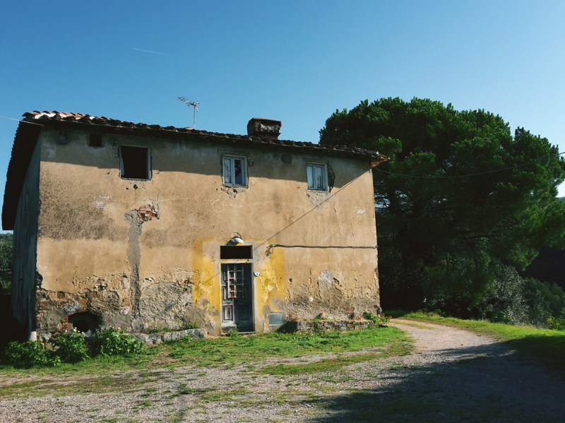
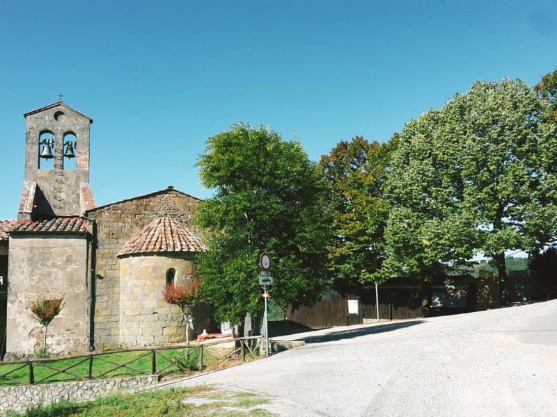
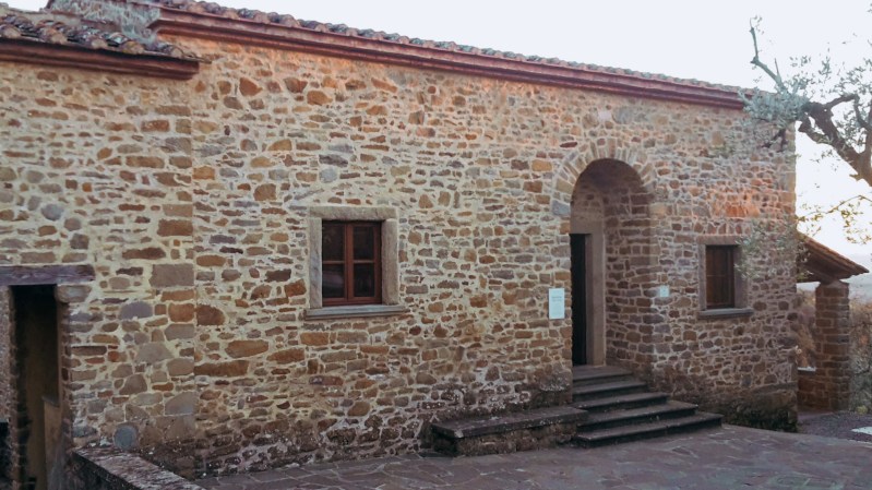
    Instead of heading straight down to Anchiano, I suggest branching out on CAI n.16 and 16B, a gentle trail through more chestnut woods that will take us to sleepy Sant’Amato and its lovely 12th century church from where we can gaze at the gorgeous panorama of Valdinievole. We continue downhill on CAI n. 16B, enjoying the views and the quiet on the way to Anchiano. Here, a simple stone building serves as a museum dedicated to the Renaissance genius. The house is considered as the birthplace of Leornardo although the historical documentation is inconclusive.

    We are back on CAI n.14 and about 20 minutes away from Vinci. The descent offers a pleasant hike through olive groves and an evocative view of the town, marked by the Guidi castle and the belltower of Santa Croce church. If you want to learn more about Leonardo, Vinci has a few museums that are worth visiting, which will give you an insight on his contribution to the arts, sciences and the humanistic philosophy of the 16th century.
    I hope the post helped you learned more about this beautiful territory! Next time, I’ll explore the southern part of Montalbano, with Carmignano, Artimino and the Etruscan site of Pietramarina.

    Trail map from Serravalle to Vinci with an elevation profile

    Serravalle Pistoiese – San Baronto – Vinci

    • 21.7mi (35km)
    • 8h45
    • Arrive: Serravalle Pistoiese (train to Pistoia, then bus)
    • Depart: Vinci (bus to Empoli, then train to Florence)
    • If you’d like to shorten the hike, you could take the bus from San Baronto or Lamporecchio either to Pistoia or Empoli, and then head back to Florence.

    Bus and train timetables in Tuscany change often. If you find a line has changed or a stop has moved, please let other hikers know in the comments below!

    Please share your thoughts on how I can make this website better!

    Related hikes: Monte Pisano aqueduct · Montalbano and the Misty Valley

    Walked CAI 300 to Vinci, or stopped for chestnuts and wine along the way? Tell me in the comments.
  • Montalbano Hike, Tuscany: Serravalle to Monsummano Terme

    Montalbano Hike, Tuscany: Serravalle to Monsummano Terme

    Some days I wake up ready for a hike up the Montalbano mountains. Less than 30 minutes west of Florence, I’m very familiar with the area and very much enjoy hiking here. There are quite a few trails, and you can cross the whole range from Capraia Fiorentina to Serravalle Pistoiese which may take 8-10 hours depending on your pace. To really get to know more about this charming location, I’d recommend dividing the Montalbano in sections. This time, we’ll explore its northern part which faces the bewitching Valdinievole, or Misty Valley.

    View over the plain to distant mountains from a hillside
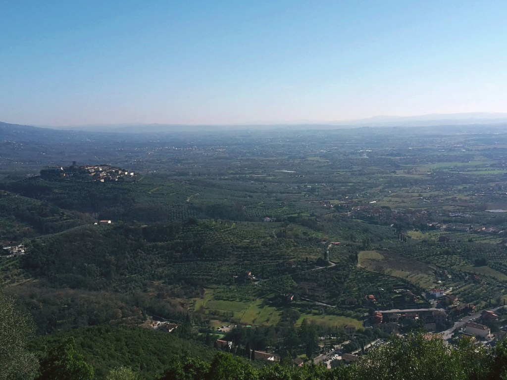
    The Valdinievole and Monte Pisano in the background

    We leave Florence on an early train to Pistoia, a half-hour ride. Across the train station in Pistoia, there’s the Copit bus agency where we can purchase a one-way ticket to Serravalle Pistoiese. Bus n. 53 stops right in front of the train station and in 15 minutes drops us at the bottom of Serravalle, where we begin our hike. Another possibility is to take the train from Florence to Serravalle’s train station, but you’ll have to walk on a busy provincial road to get to the start of the trail. I much prefer arriving with the bus. (Update, November 2026: Copit is now part of Autolinee Toscane. Line 53, 63 or SER runs from Pistoia station to Serravalle. Check Autolinee Toscane before you go.)

    Path CAI n. 300 starts uphill on Via Ville and then onto Via Monte. On late winter/early spring days, the acrid smell of burning leaves fills the air. Early spring is the time of the year when olive trees are being pruned in Tuscany. Farmers pile up the cut branches in big mounds and set them on fire. Bright green grass and wild flowers decoring the sides of the road make for a pretty but intense first hour of hiking.

    Every now and then, you get a glance of vigilant Serravalle Pistoiese perched on the hill behind you. This medieval fortification closes the access to the Valdinievole leading to Lucca and Pisa. Thus, it was an important strategic point until the 1300s in Tuscany. In those days, the town was controlled by a fascinating character, the ghibelline condottiero Castruccio Castracani (literally meaning ‘dog castrator’). Although a constant torment in his drive to conquer Tuscany, which included a failed plan to flood Florence, eventually malaria got the best of him in 1328 and a few years later the Florentines took over Serravalle.

    My mind wandered through that period of history until I was brought back to our days by the loud roar of motorbikes coming down the trail. Yes, in Tuscany we share trails with everyone – motorbikes, four wheelers, mountain bikers, hunters and the occasional wild boar. The good news is that the uphill part was almost over as the trail opened to a lovely olive grove.

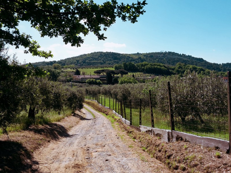
    Dirt track through scrub and olive trees on a hillside

    Soon we reach a fork where I leave the CAI n. 300, and go on an unmarked path through Fuso and Casa, reaching Via del Vaticano. This is a straighter path to Montevettolini, although you’d probably want to study the map before venturing on it. We’ll eventually find Poggio Tondo and head downhill while enjoying the picturesque beauty of old farmhouses in the Montalbano. We can admire Montevettolini and the imposing 16th century Medici villa atop the hill as we progress. This sleepy town was once a fort, part of the military infrastructure of the area, but there isn’t much happening these days. It’s very peaceful by the medieval church of Santi Michele Arcangelo e Lorenzo Martire. After enjoying a few moments of contemplation, we continue towards Monsummano Alto.

    We go down to Via Castelvecchio, a nice shortcut to Grotta Giusti. Since this is an unmarked trail, we often walk through private fields, but they don’t offer any obstacle. I crossed paths with a local farmer, who told me on his southern Italian accent that people walking on his land didn’t bother him. His issue was with cars going through because they damage his crops. We arrive in Grotta Giusti through Via delle Cave, then Via dei Romani. This town is known for its thermal pools so here is your chance to relax your sore muscles.

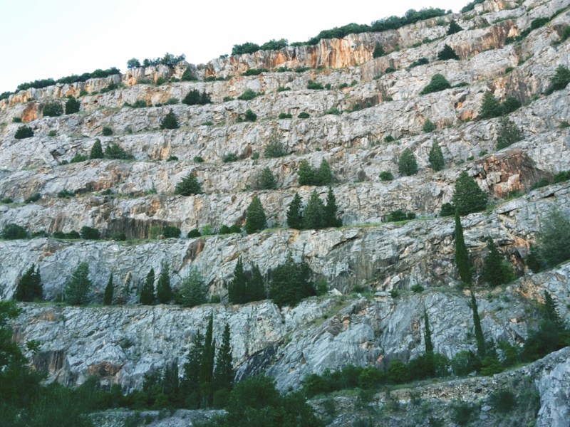
    Otherwise, if you’re the hiking type who doesn’t believe in taking it easy like myself (just kidding: I love thermal waters!), we hike uphill again after we pass the resort and its pools to find the path CAI n. 30. This is a very interesting trail that takes us through ancient quarries to the medieval fortification of Monsummano at the top. You’ll need some knowledge of Italian to read the many signboards on the way up. Or, if you are a geology buff, you’ll appreciate this area either way. Several types of limestone and shale form these hills, their colors ranging from a deep greenish grey to a soft red.

    View of olive groves and a hill town from Montevettolini
    Wonderful view of Montevettolini from Monsummano Alto

    The impressive views of Montevettolini, Valdinievole, the Nievole river and the swampland around Fucecchio are worth several stops on the way up. The Padule di Fucecchio is an important nature preserve in Tuscany and one of my future hiking destinations. We arrive in Monsummano Alto through a medieval archway, long in disuse, but it makes for a grandiose ending for this hike. We find the 13th century church of San Nicolao and a mini-archeological site with the foundations of medieval structures. The town itself isn’t very lively, just a couple of houses, a restaurant and a workshop. But the amazing views make the trip up here absolutely worth it.

    Time to go downhill again, so we can reach the center of Monsummano Terme and take our ride back to Pistoia. There is another beautiful panorama on this side of the hill, with the towns of Montecatini Alto and Serravalle Pistoiese in the distance. In less than an hour, we arrive at our bus stop in piazza Giuseppe Giusti. If you still have some time before the next one comes, have a walk around the expansive square and visit the sanctuary of Santa Maria della Fontenuova, where the Virgin Mary miraculously appeared in 1573.

    Did you enjoy reading it? Please leave a comment so I can keep improving this site!

    Trail map from Serravalle to Monsummano with an elevation profile

    Serravalle Pistoiese – Montevettolini – Monsummano Terme

    • 3h30
    • 9.5 mi (15.3 km)
    • Arrive: Serravalle Pistoiese (by bus or train)
    • Depart: Monsummano Terme (by bus)
    • How to get there: my preference is to take a 30-min train ride to Pistoia, then 15-min bus ride to Serravalle (line 53, 63 or SER from Pistoia station). Back from Monsummano Terme: line 53 to Pistoia station, then the train to Florence. Another option is a 50-min train ride to Serravalle train station, but you’ll have to walk on the road before starting the trail.

    Bus and train timetables in Tuscany change often. If you find a line has changed or a stop has moved, please let other hikers know in the comments below!

    Related hikes: Montalbano to Vinci · Renaissance Ring 1, with views of the Montalbano

    Have you caught the Montalbano in the mist, or on a clear day? Tell me about your hike in the comments.