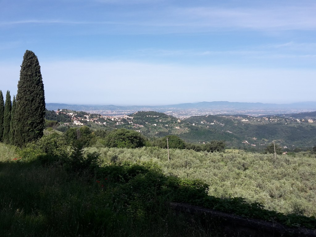
It’s June, and summer hiking season has started. These days I wake up before 6 am, when the air is still fresh and the city is quiet, and the hills feel a little less steep every week. So this time I didn’t even wait for the bus. I laced up my everyday shoes (most of the walk is in town anyway) and walked straight out of my door, across Florence and up to Poggio Pratone, the highest point of Fiesole.
Poggio Pratone, 702 m (2,303 ft), is the mountain you see behind Fiesole from the city, a big grassy top with a view over Florence, the Arno valley and the hills all around. It sits on CAI 2, one of the oldest waymarked trails in the Florentine hills, and it’s a perfect half-day hike: up from the city on foot or by bus, down the other side to a small train station, and home in time for lunch.
Across Florence and up to Fiesole
Florence at 7 am in the morning is a lovely place, even in June. Almost nobody on the streets, Saturday night already over, and the few tourists around were dragging their suitcases toward the station. Crossing Ponte Amerigo Vespucci, I could smell the sea air coming up the Arno, and my legs were happy to move. It took me half an hour to cross the city, and 1h20min from my door to Piazza Mino, the main square of Fiesole.
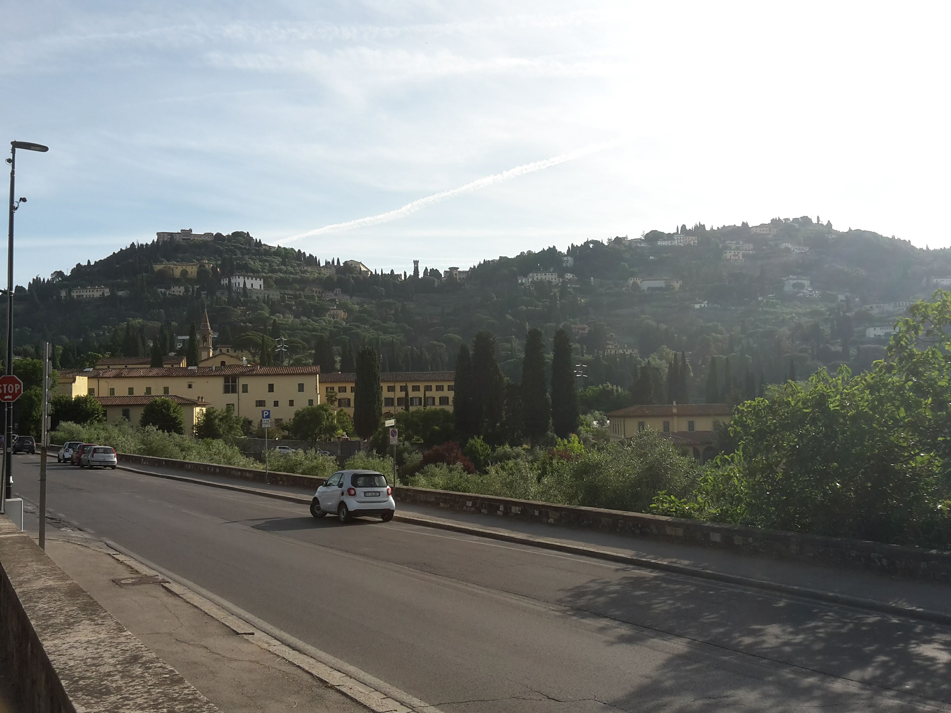
The climb up to Fiesole is steep in the last part, up the Via Vecchia Fiesolana, the old road to Fiesole. The final steps had my heart pounding – but it’s good exercise so early in the day, and you already get some beautiful views of Florence as a reward. One small disappointment: the path along the Etruscan walls around Villa Medici di Fiesole was left untended when I passed, but things may have changed by the time you go by it.
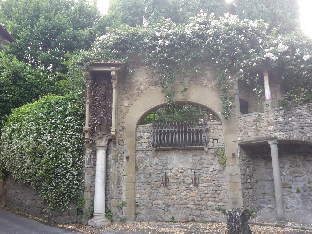
Now, if you’d rather save your legs for the trail, and already start your hike from the top of Fiesole, an easier way to reach Piazza Mino is to take city bus n.7 from Piazza della Libertà. From the square, we follow the road out of town toward Via di San Clemente, where the first beautiful views open up over Fiesole and the Mugnone valley.
CAI 2 to Poggio Pratone
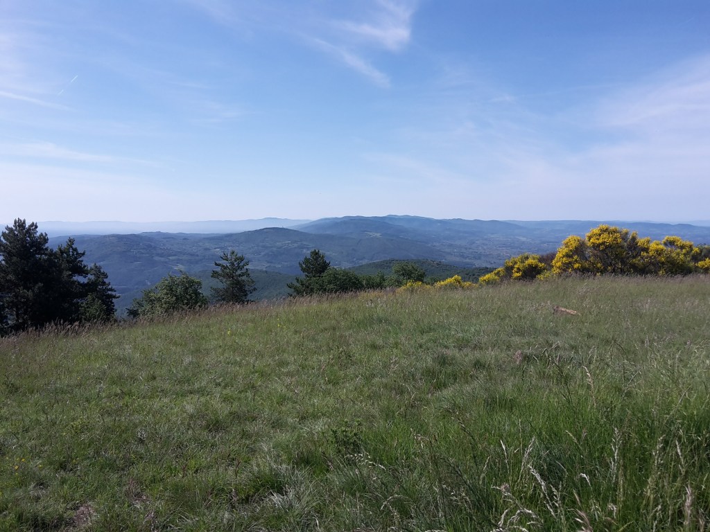
CAI 2 to Poggio Pratone isn’t a difficult climb. From San Clemente it’s an easy dirt road, and in a few minutes we’re on top. The ginestre (Spanish broom) were in full bloom, splashing yellow all over the slopes and adding to the spring beauty of the view over Florence and the mountains around it.
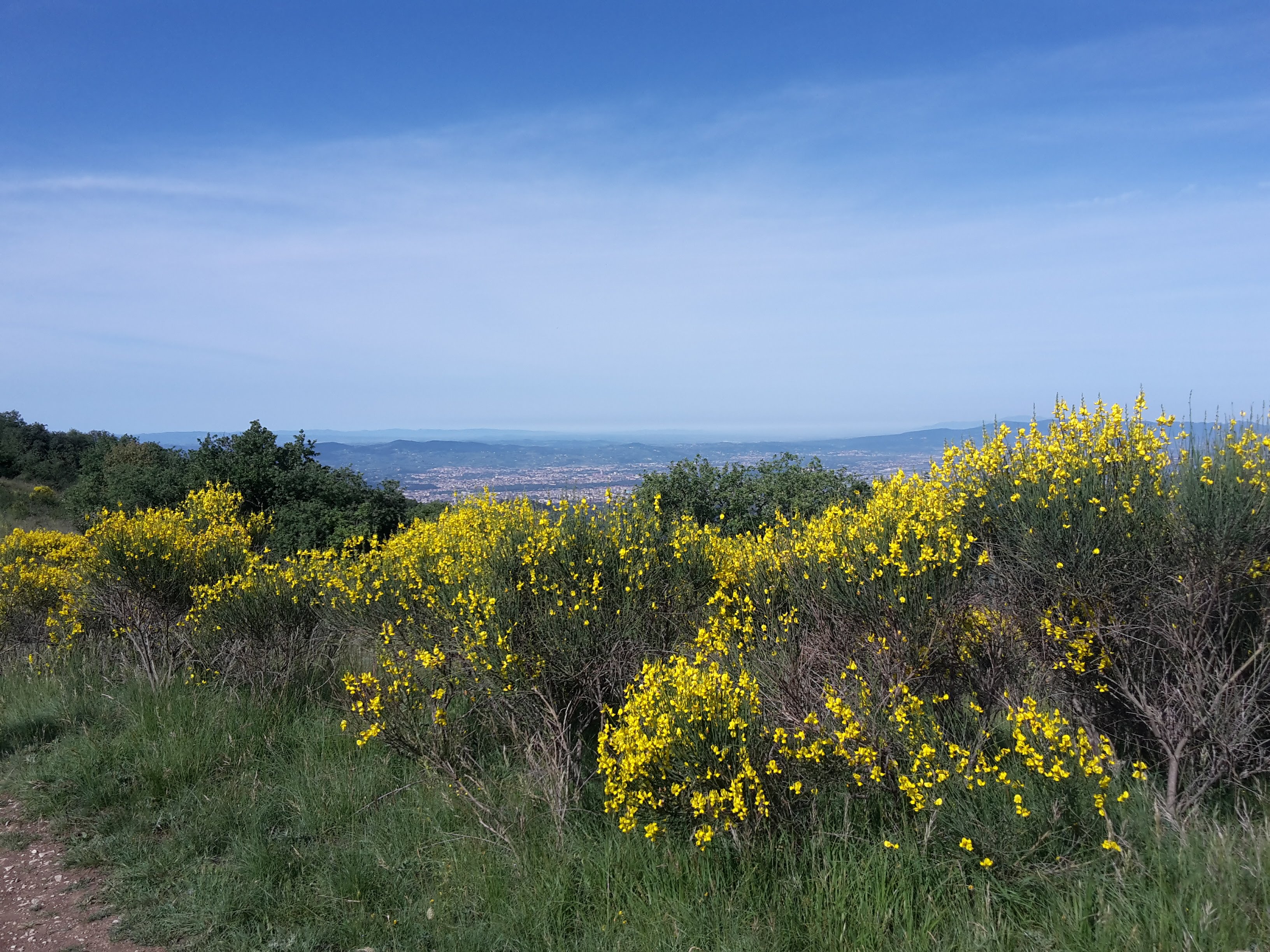
On the top, three young German hikers were packing up their tents after a night under the stars, ready to continue their walk (the Via degli Dei, the Way of the Gods from Bologna to Florence, passes right by here). I sat down and enjoyed the panorama for half an hour. It was a fresh, clear morning: Fiesole and Florence below, and on good days locals say you can pick out the Pratomagno, the Chianti hills and even the Apuan Alps.

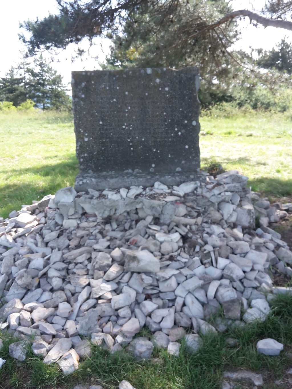
On the summit there’s a stone plaque with lines by the Florentine writer Bruno Cicognani, who loved these hills. And just to the north, the ridge of Montereggi gets its name from Mons Regis, the King’s Mountain: tradition says Radagaisus, king of the Goths, was captured (or buried) here after the Roman general Stilicho defeated his army in the hills of Fiesole in 406 AD – one of the last big Roman victories before the fall of the Western Empire.
Down CAI 9 to Montereggi and Caldine
From Poggio Pratone I had two options: continue along the ridge toward Santa Brigida, or go down the other side to Caldine. Santa Brigida was another hour and a half of walking, and the biggest problem was the bus to get back to Florence, they are very infrequent around that area. So I chose Caldine, which has a train station.
The way down was CAI 9, which leaves from just past the plaque toward Montereggi and Querciola. Honest warning: after many days of rain and strong sun the grass on top was tall, and it took me 10 minutes to find the right path down. After that, the trail was very clear. If you go in late spring, keep an eye out for the red-and-white CAI marks at the edge of the meadow.
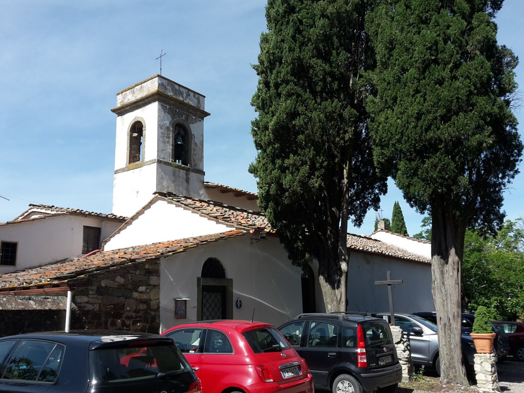
Near the bottom of the woods, a short detour to the left on Via Poggio Montereggi takes you to the Burraia spring. Burraie were small stone houses built over cold spring water, where farmers made and kept butter – a natural fridge, used from around 1750 to 1950. Below, the little church of Sant’Ilario a Montereggi has origins in the 9th century.
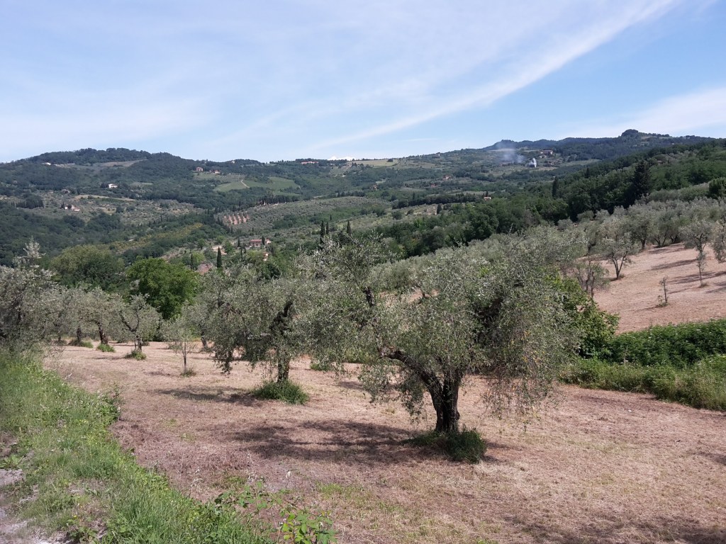
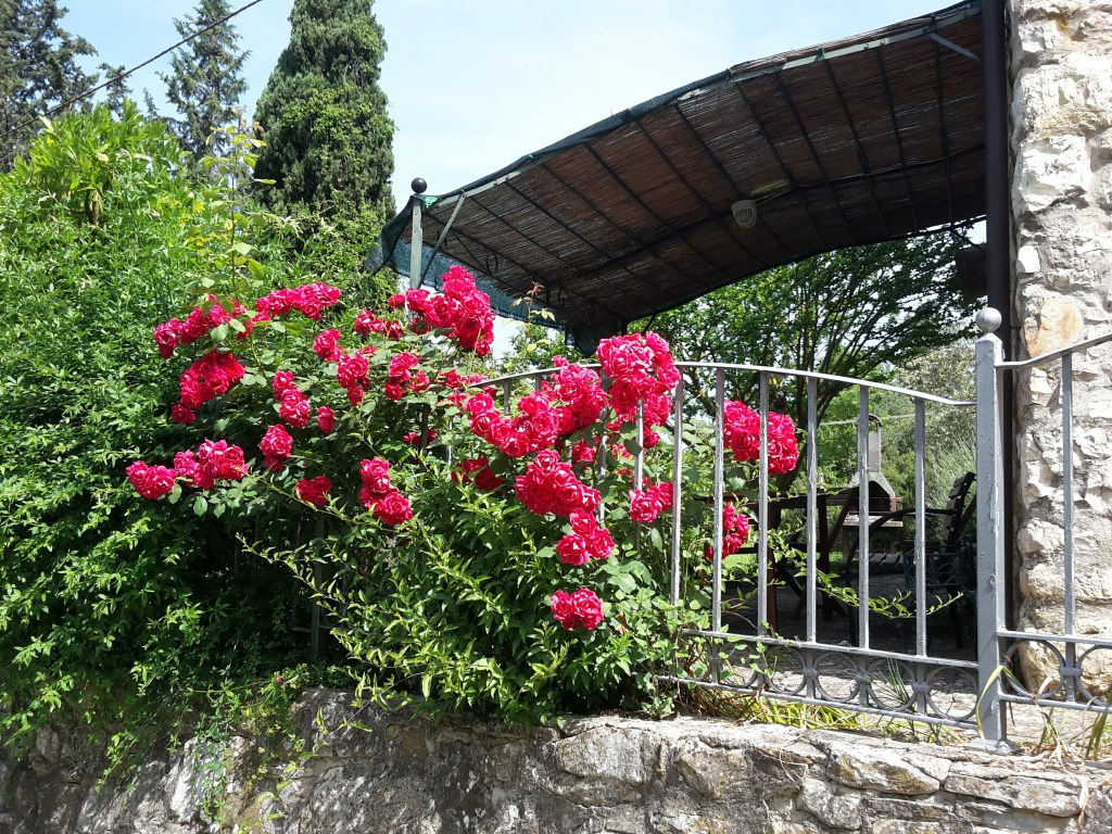
From Montereggi the path goes down through olive groves, vineyards and fruit trees, a landscape shaped by centuries of mezzadria (sharecropping, where the landowner and the farmer split the harvest). We pass delightful houses in the little hamlets on the hillside, with roses climbing the fences and flowers in every window.
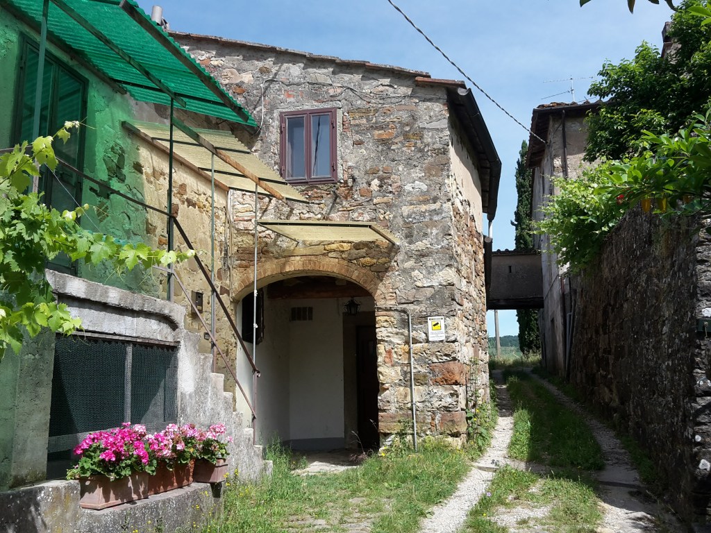
Still no animals on this hike, but plenty of wild boar poop – they are around, they just sleep in. Soon we reach Le Molina, and then Caldine.
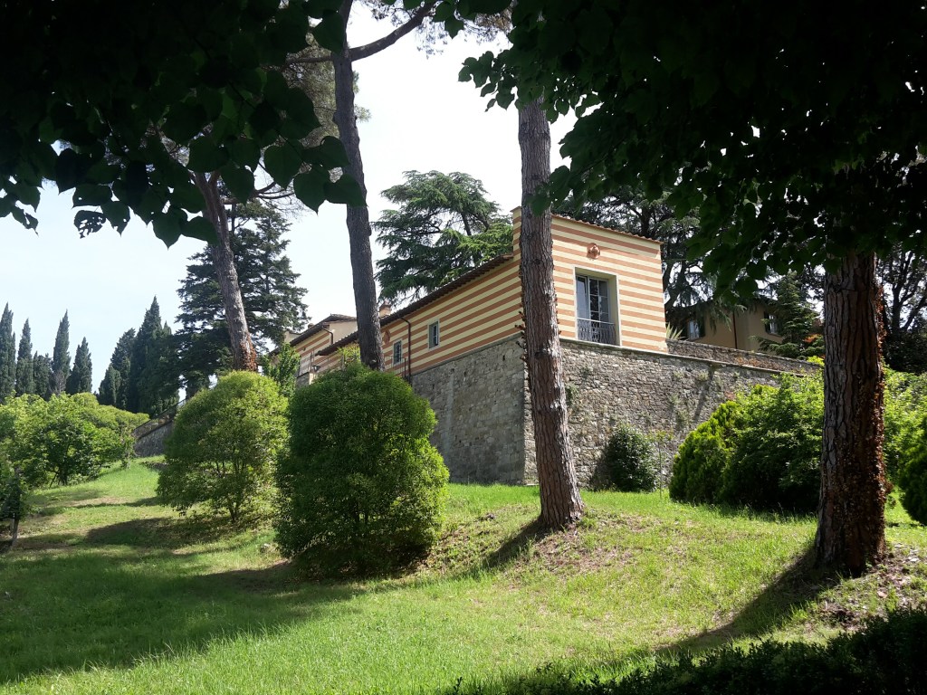
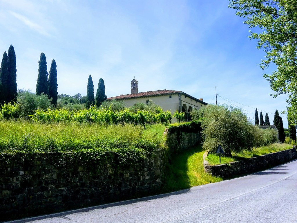
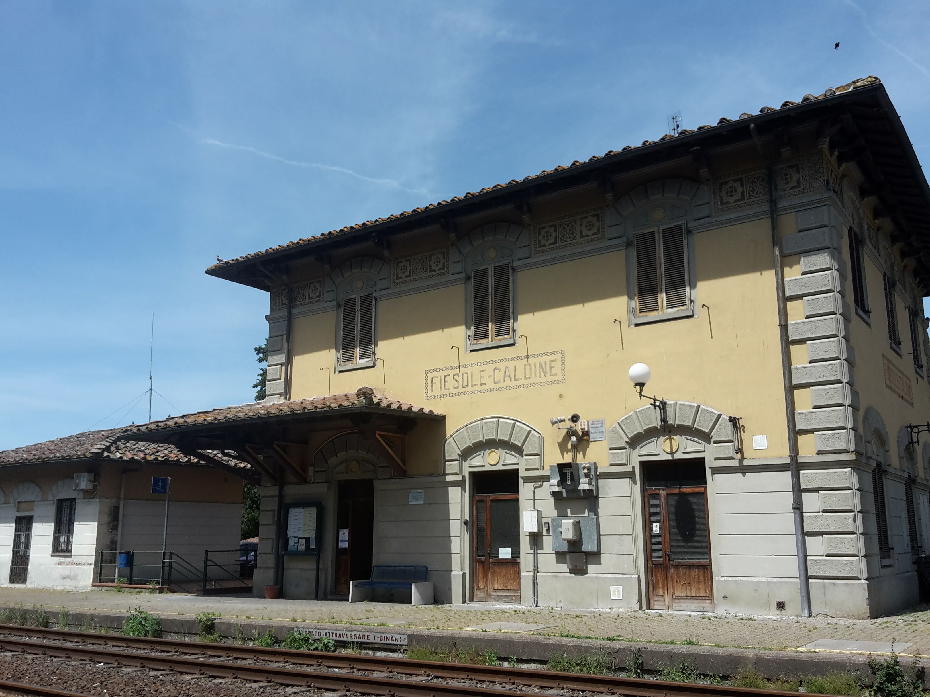
Poor Caldine doesn’t have much charm of its own, except for its station. But, hey! A station is exactly what a hiker without a car wants to see at the end of the trail. Interesting, too: right in town I found the start of CAI paths 60 and 65 toward Monte Morello. Maybe next time.
There’s another approach I like from Settignano; that walk will get its own post.
My verdict: A beautiful loop of the Fiesole hills and not too demanding, with only one tricky moment finding CAI 9 in the tall grass. I wonder if the grass on Poggio Pratone is shorter in winter – but it’s a tiny part of the trail. If you liked this one, the hike to Monte Senario on the Via degli Dei continues north from these same hills, and my Bellosguardo hill walk is the city-side version of a morning like this. For more ideas, see my guide to day hikes from Florence without a car.
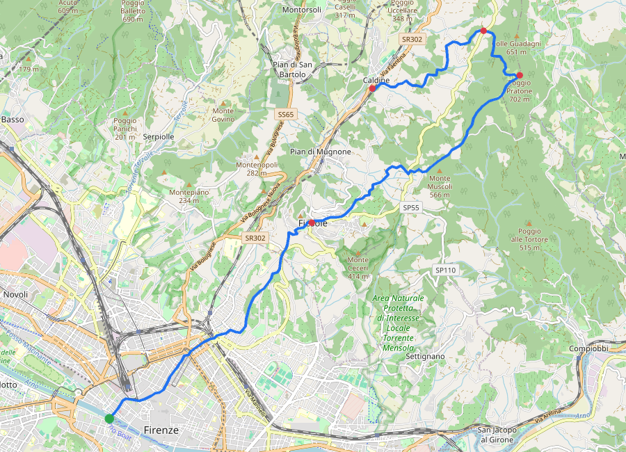
Florence – Fiesole – Poggio Pratone – Montereggi – Caldine
Duration: 4h35 (including a 30-minute break on top)
Distance: 19.3 km (12 mi)
Elevation gain: about 700 m (2,300 ft)
Highest point: Poggio Pratone, 702 m (2,303 ft)
Trails: CAI 2 from Fiesole/San Clemente to Poggio Pratone, CAI 9 down to Montereggi and Caldine
Arrive: on foot from central Florence (Ponte Vespucci to Fiesole in 1h20), or city bus n.7 from Piazza della Libertà to Fiesole, Piazza Mino.
Depart: by train from Caldine station on the Faentina line, about 15 minutes to Firenze Santa Maria Novella. Trains run roughly once an hour for most of the day, but check the timetable before you set off.
Tickets: on Autolinee Toscane city buses (n.7) you can simply tap a contactless bank card on the reader on board for a 90-minute ride, or buy and validate a ticket in the AT bus app. For the train, buy a regional Trenitalia ticket (Fiesole-Caldine – Firenze SMN) in the Trenitalia app or at the station machine, and validate paper tickets before boarding.
Timetables change often. If you find a change in the bus or train times, please let me know in the comments so other hikers can plan ahead.
I hope you enjoyed reading this post! Have you walked up to Poggio Pratone, from Fiesole or Caldine? Tell me in the comments which way you took, and let me know how I can improve this guide. Thank you for reading!


Leave a Reply