Blog

  • Renaissance Ring (Anello del Rinascimento) 4: Impruneta–Signa

    Renaissance Ring (Anello del Rinascimento) 4: Impruneta–Signa

    ← Renaissance Ring Part 3

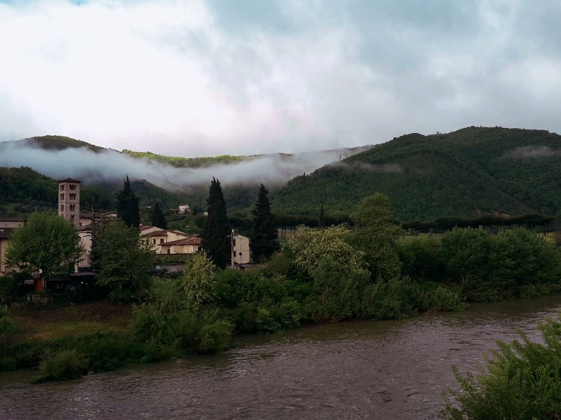
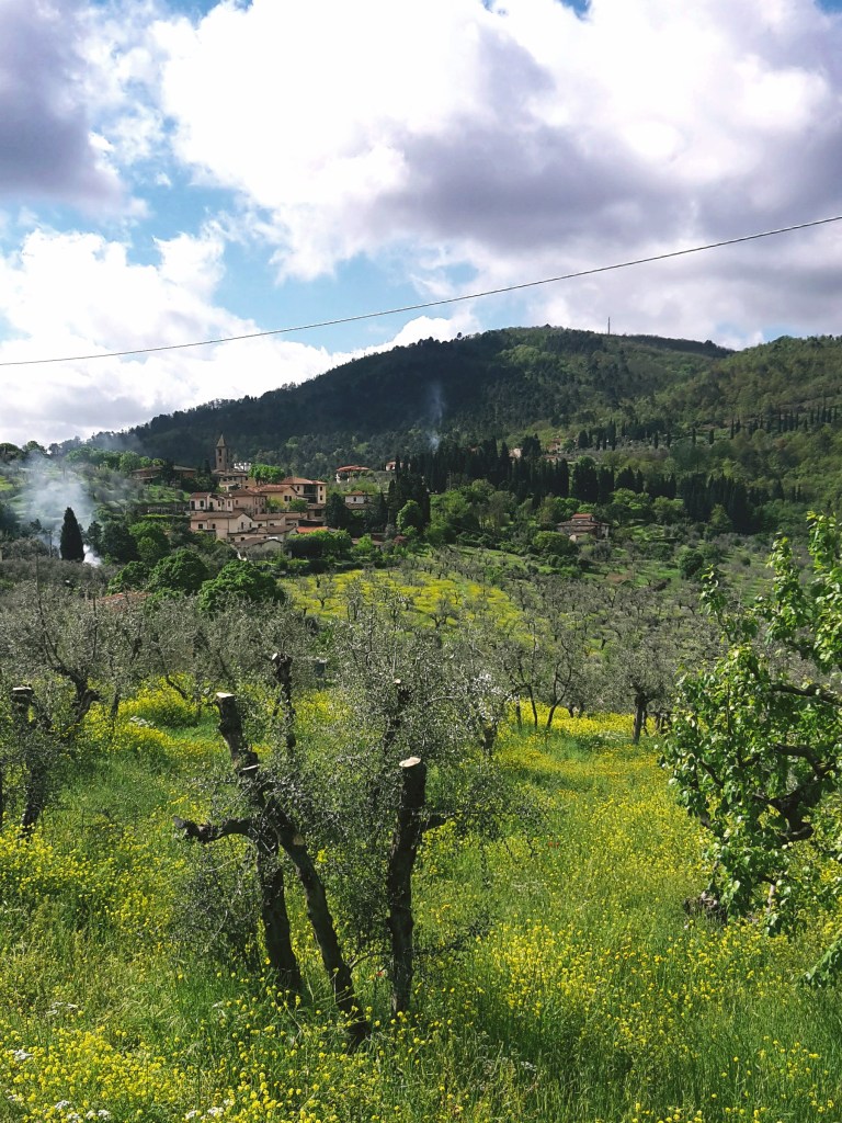
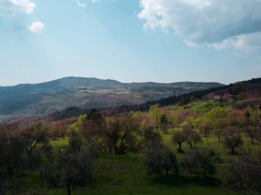
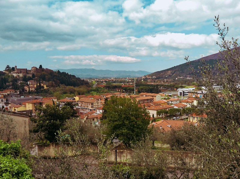
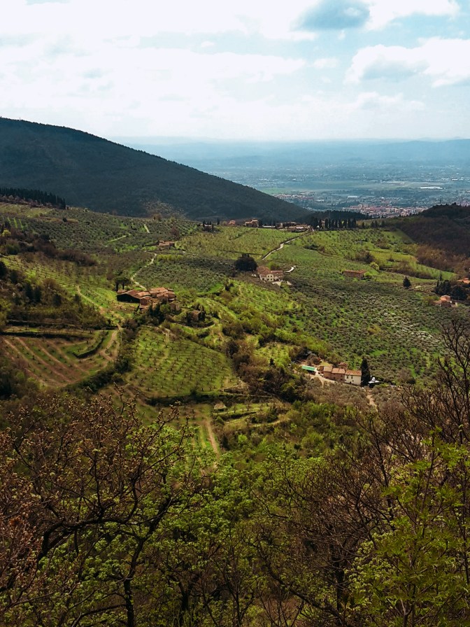
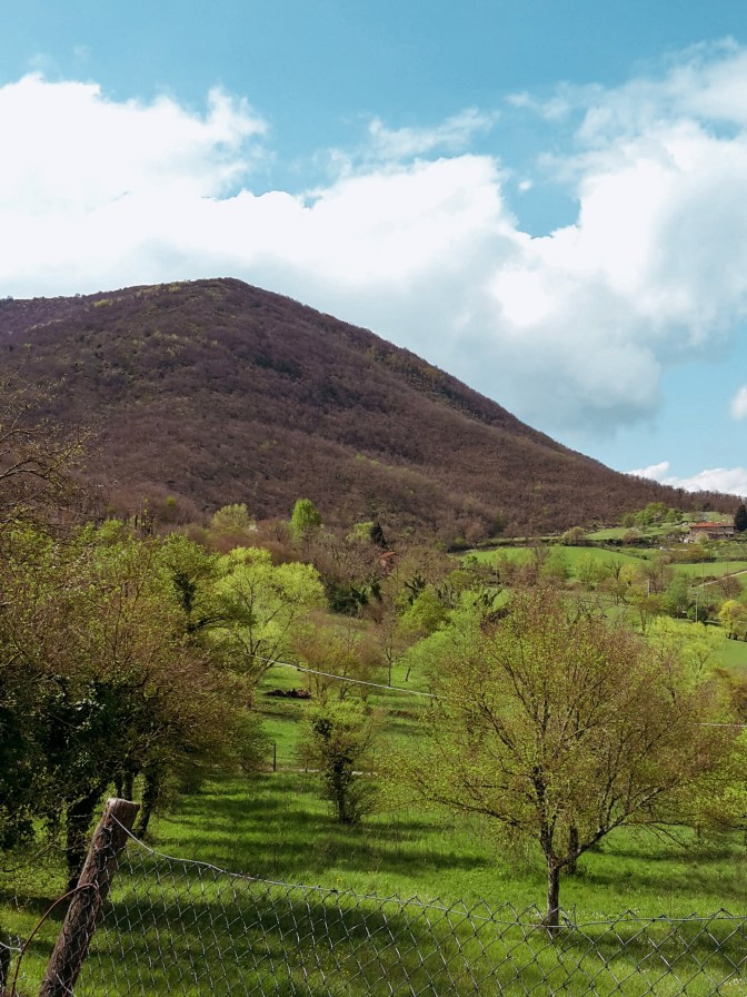
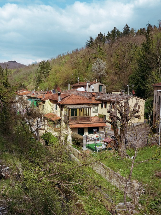
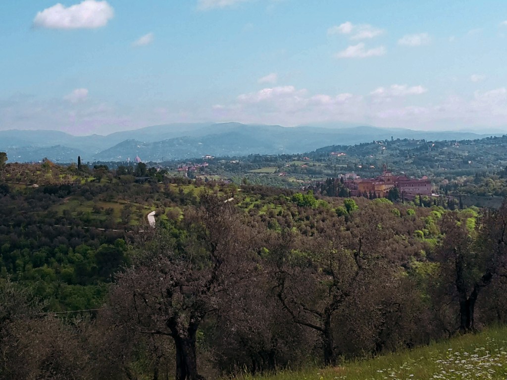
    The final stretch of the Renaissance Ring takes us on a superb hike from Impruneta, the land of terracotta, through Galluzzo and the magnificent Certosa, to finally reencounter Signa on the banks of the Arno river. Florence reveals itself in all its splendor several times along the way, as we cross olive groves, vineyards and woodlands. It’s a great ending for a very rewarding trail.
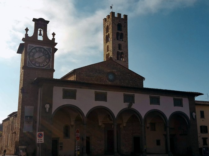
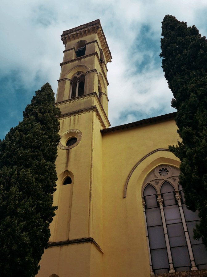
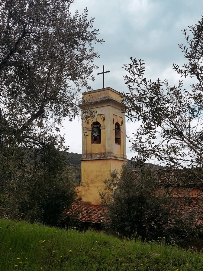
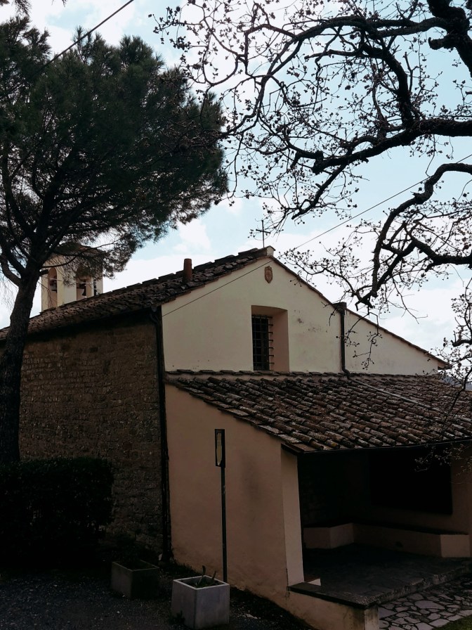
    Church with a loggia and a stone bell tower in Impruneta
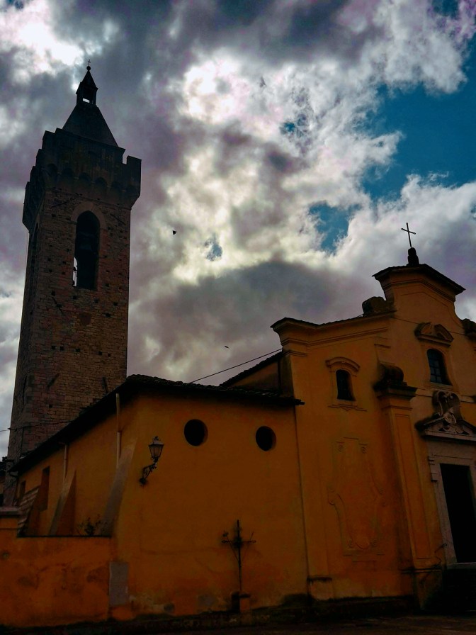
    Church of Santa Maria dell’Impruneta

    Impruneta and the Certosa

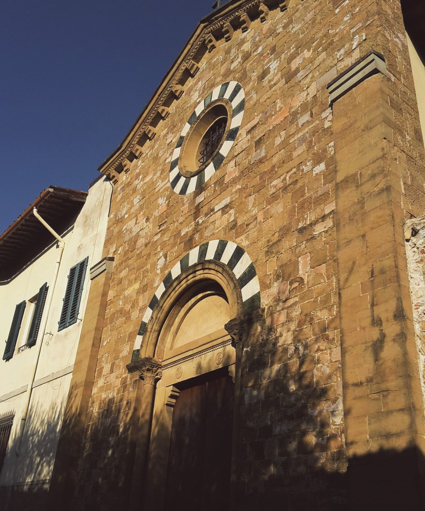
    We depart from Impruneta but not before checking out the charming 11th century church of Santa Maria dell’Impruneta and its elegant 17th century portico. Unfortunately, the interior was mostly destroyed during WW2, including its carved wood ceiling in baroque style. There are some 1940s photos by the entrance that will give you an idea of the magnitude of this disaster. Luckily, the small temples on the right and left sides of the altar survived with their exquisite 15th century panels in glazed terracotta by Luca della Robbia. They also house a 13th century image of the Virgin Mary, fervently worshipped by locals for having saved Impruneta from the plague and other hazards. If you are interested in religious artifacts, you should visit the treasury museum within the church, it’s one of the best in Tuscany.

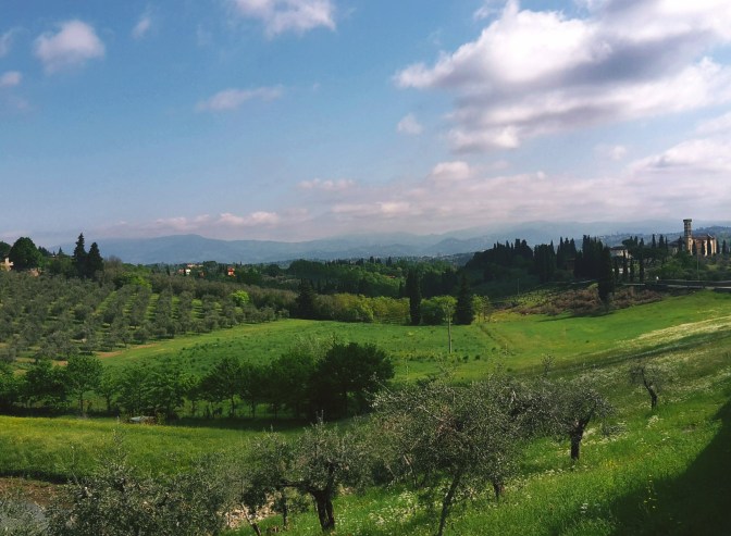
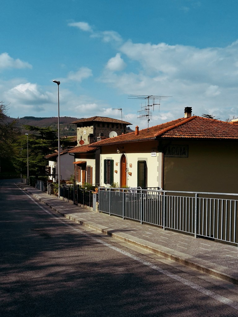
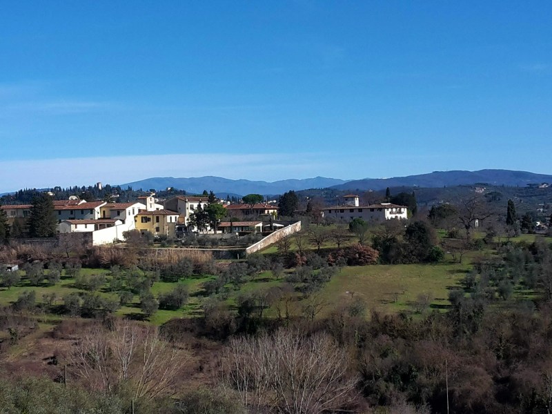
    We go up on Via Leopoldo Vanni, but not without noticing a couple of exquisite terracotta vases decorating the main square, prime examples of Impruneta’s great craftsmanship. We walk on Provincial Road n.70, direction Florence, for about 1.6 km (1 mi). There is a sidewalk for most of the way, and we can enjoy the bucolic scenery with San Casciano in Val di Pesa on the southwest hills. We take Via Quintole per le Rose uphill to Monte di Meccoli, and we’ll continue on this road almost until Galluzzo, passing by the sleepy neighborhoods of Baruffi and Le Rose and two lovely 12th century churches – San Miniato a Quintole and San Lorenzo alle Rose, both in medieval romanesque style. We turn right in Via Brancolano by Villa Antinori delle Rose, which once belonged to the noble winemaking family and now is available for events and lodging. As we approach Galluzzo, we enjoy a fantastic view of the Certosa, and of the convent of San Paolo, on the hill across the highway. Don’t get too distracted. We arrive at a parking area at the bottom of this path without any trail marks on sight. Go straight ahead to Via Senese, cross it, turn right and then left in Via di Colleramole – the Renaissance Ring continues from here.

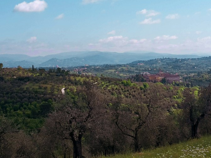
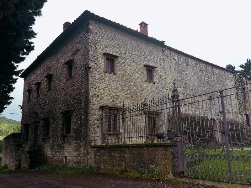
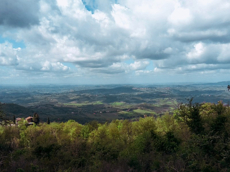
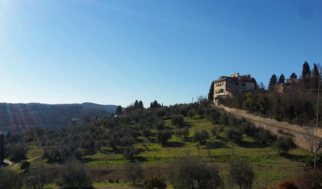
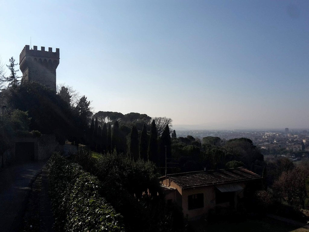
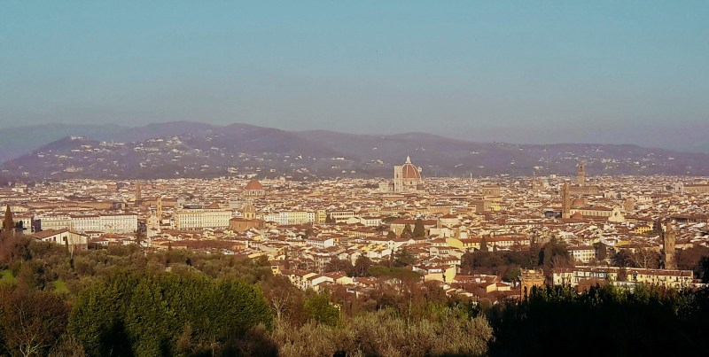
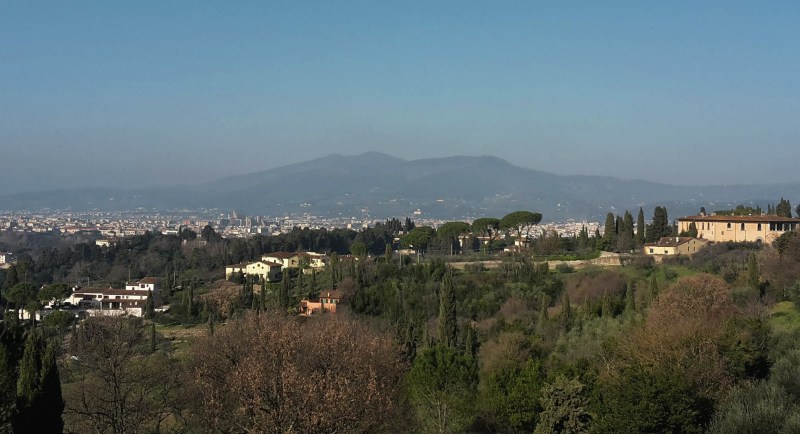
    I’d recommend a detour to visit the Certosa, but make sure you check the times of the guided visits. The wealthy Acciaiuoli family funded the construction of the imposing charterhouse in 14th century and to this date a handful of cistercian monks live an austere life within its cloisters. They substituted the original and stricter carthusians in 1958. Continuing the hike, from via di San Cristofano we enjoy great views of the church of San Lorenzo within the walls of the Certosa. Further up the road, we witness an extraordinary panorama of Florence, it’s hard to turn your back and proceed on the trail. Soon, we pass by extensive vineyards and the elegant 16th century Villa I Collazzi before reaching Via Volterrana. We’ll follow this provincial road for a few hundred yards – pay attention to the trail marks around this area – we get out of the road on the left after the guard rail, then go up through a path in the woods and turn right to go down, returning to Via Volterrana.
    Toward Casignano

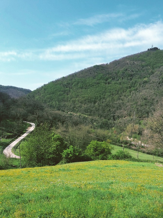
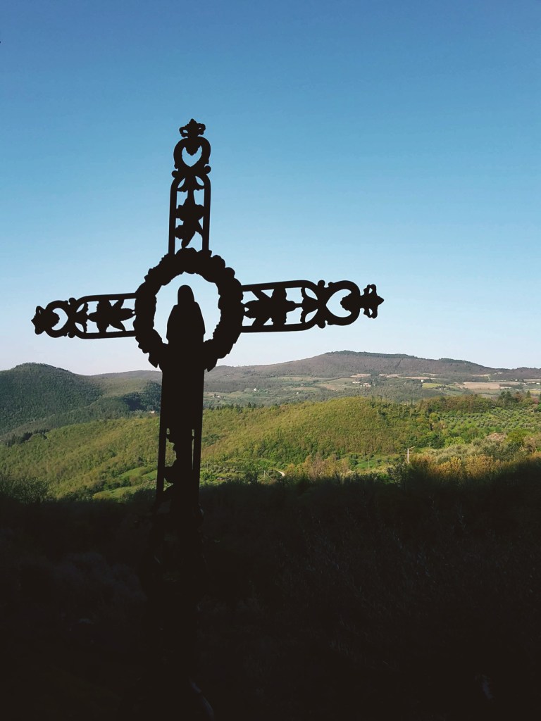
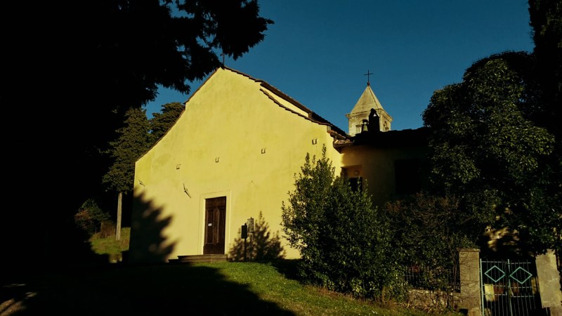
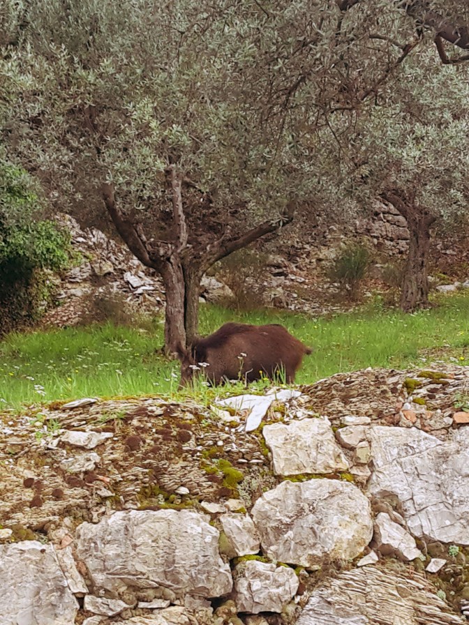
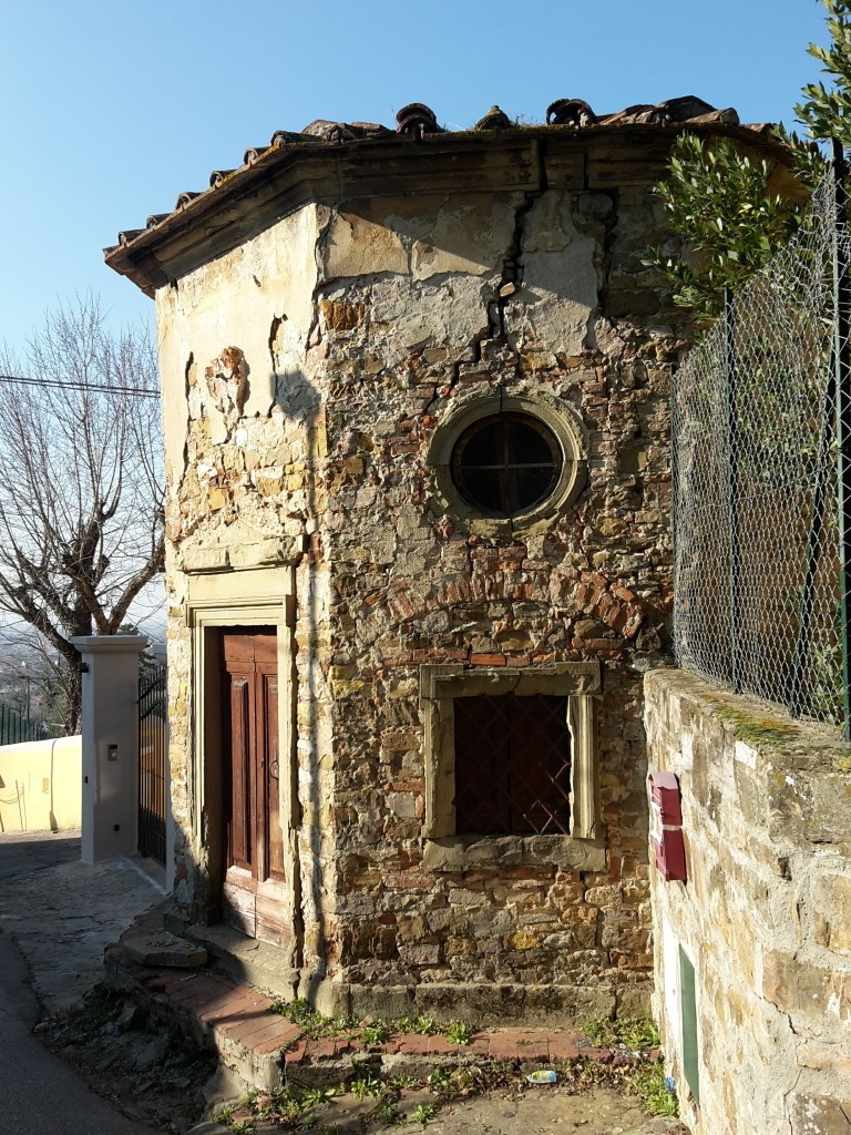
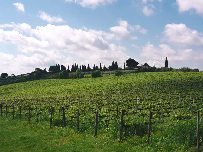
    We cross the road and continue on another downhill path to the left. We quickly get to the bottom and make a u-turn to take the path in the woods to Casignano. Here, we may spot some local wildlife like deer and fox while enjoying a pleasant hike among oak, pine and chestnut trees. After Casignano, we head towards Pian de’ Cerri passing by the rustic chapel of San Zanobi, where the 4th century patron saint of Florence spent some time in contemplation. By La Catena, the path opens to a gorgeous view of the hills around Chiesanuova and we can spot the bell tower of Santa Maria dell’Impruneta in the distance. We continue along the fence of Poggio Valicaia park (don’t go into the park) to arrive in Pian de’ Cerri. We make another u-turn into Via di Mosciano to soon take a left into Via di Fabbrica and another one into Le Pozze. This dirt path makes true to its name: after a rainy day there are plenty of puddles along the mudded way.

    Lastra a Signa and back to Signa

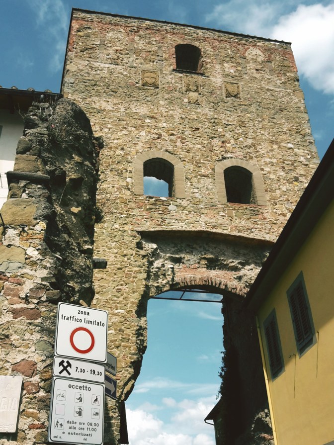
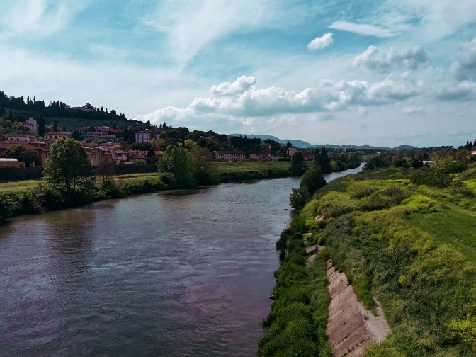
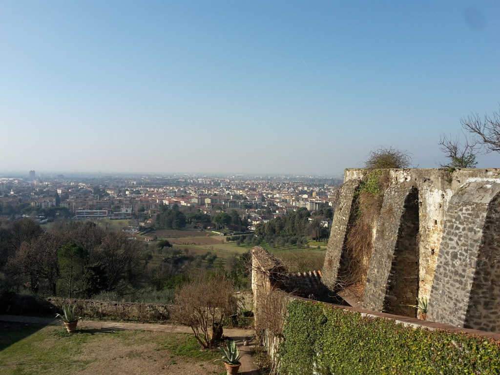
    By Roncigliano, we meet asphalt once again. After we pass vineyards and a private property, we take a left into Via Roveta. The trail contours the hill taking us down to Via delle Fonti where we cross a bridge over the FI-PI-LI highway and reach Via di Naiale. The historical center of Lastra a Signa is less than an hour away. As we approach it, walking on Via San Romolo and Via di Poggio Vittorio we have a chance to enjoy a wonderful view of Signa, perched on the hill across the Arno river, and the plains of the Bisenzio river where we started our hike on the Renaissance Ring. We enter the town through Portone di Baccio, one of the city gates, and pass by the 15th century Spedale di Sant’Antonio and its beautiful loggia. We turn left on Via 24 Maggio to reach Signa through Porta Pisana – the gate that opens to Pisa. We’ll go under the railway and then the road, before finding a pedestrian bridge that crosses the Arno by Piazza Guido Andrei.

    It’s bittersweet. It feels great to close this 170 km (105 mi) loop through the majestic Florentine countryside. But I wish this wasn’t the end. Well, I’m already planning to come back and hike on the opposite direction – maybe I’ll bring some friends with me. Happiness is to be shared, after all. I have new adventures in my near future plans, including hiking the main circular trail around the Apennines. Stay tuned!

    I hope you liked this post! Send me your comments so this blog keeps getting better!
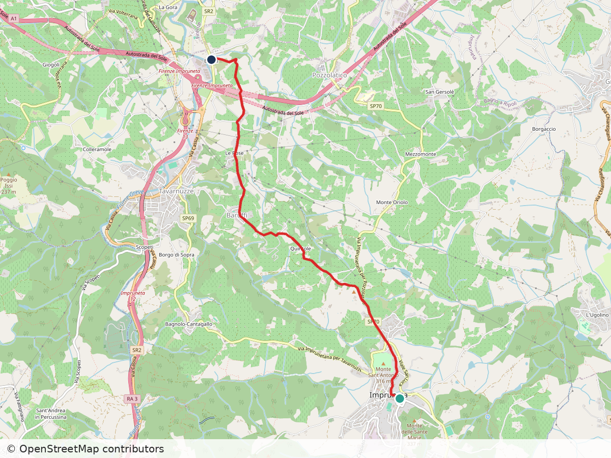
    Street map of the Renaissance Ring walk from Impruneta down to Galluzzo, with the route in red
    Route: Impruneta – Galluzzo. Approximate track; map data © OpenStreetMap contributors

    Impruneta – Galluzzo

    Duration: 1h30
    Distance: 6.9 km (4.3 mi)
    Elevation gain: about 60 m (200 ft)
    Highest point: about 290 m (950 ft)

    Arrive: Impruneta (by bus). Line 39A/39B direct from the Autostazione by Firenze SMN train station, or bus 11/36/37 to Galluzzo and change to line 65
    Depart: Galluzzo (by bus)
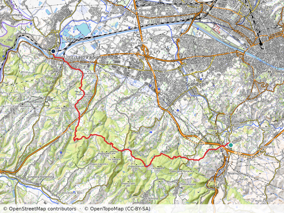
    Topographic map of the Renaissance Ring hike from Bottai over Pian de' Cerri to Signa, with the route in red
    Route: Bottai – Pian de’ Cerri – Signa. Approximate track; map data © OpenStreetMap contributors, map style © OpenTopoMap (CC-BY-SA)

    Galluzzo – Pian de’ Cerri – Signa

    Duration: 5h
    Distance: 23 km (14.3 mi)
    Elevation gain: about 540 m (1,750 ft)
    Highest point: about 320 m (1,050 ft)

    Arrive: Galluzzo (by bus). Bus n. 11 (Autolinee Toscane) from Piazza Santa Maria Novella
    Depart: Signa (by train)

    Bus and train timetables in Tuscany change often. If you find a line has changed or a stop has moved, please let other hikers know in the comments below!

    Planning more hikes without a car? See my guide to day hikes from Florence by train and bus.

    Back to the start: Renaissance Ring Part 1 · All four parts

    Have you closed the full loop of the Renaissance Ring? I’d love to hear how long it took you. Drop a comment below.
  • Renaissance Ring (Anello del Rinascimento) 3: Chianti hills

    Renaissance Ring (Anello del Rinascimento) 3: Chianti hills

    ← Renaissance Ring Part 2

    On the southeast section of the Renaissance Ring, our surroundings will be extremely lush (especially if you choose to hike it in late spring or summer) and we’ll gape at some of the most spectacular views of Florence and the plains beyond it. We’ll cross the Chianti, more precisely the Chianti Colli Fiorentini, a subzone assigned to the hills of Florence. Technically, this isn’t the Chianti Classico, where the famous wine was originally developed and classified, but gorgeous just the same. My only caveat is that, unfortunately, the trail is badly maintained as it nears Impruneta. You may want to take a detour by the town of Santa Cristina, but the rest of your hike will be on asphalt.

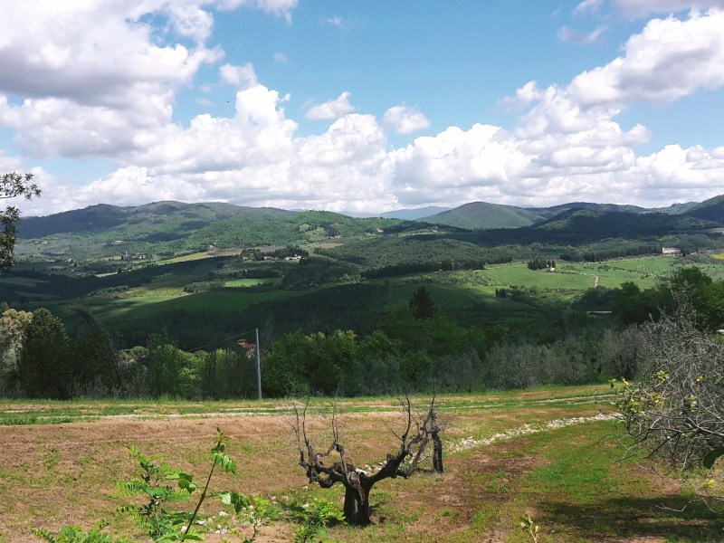
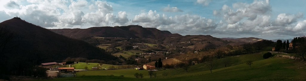
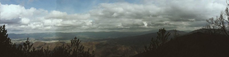
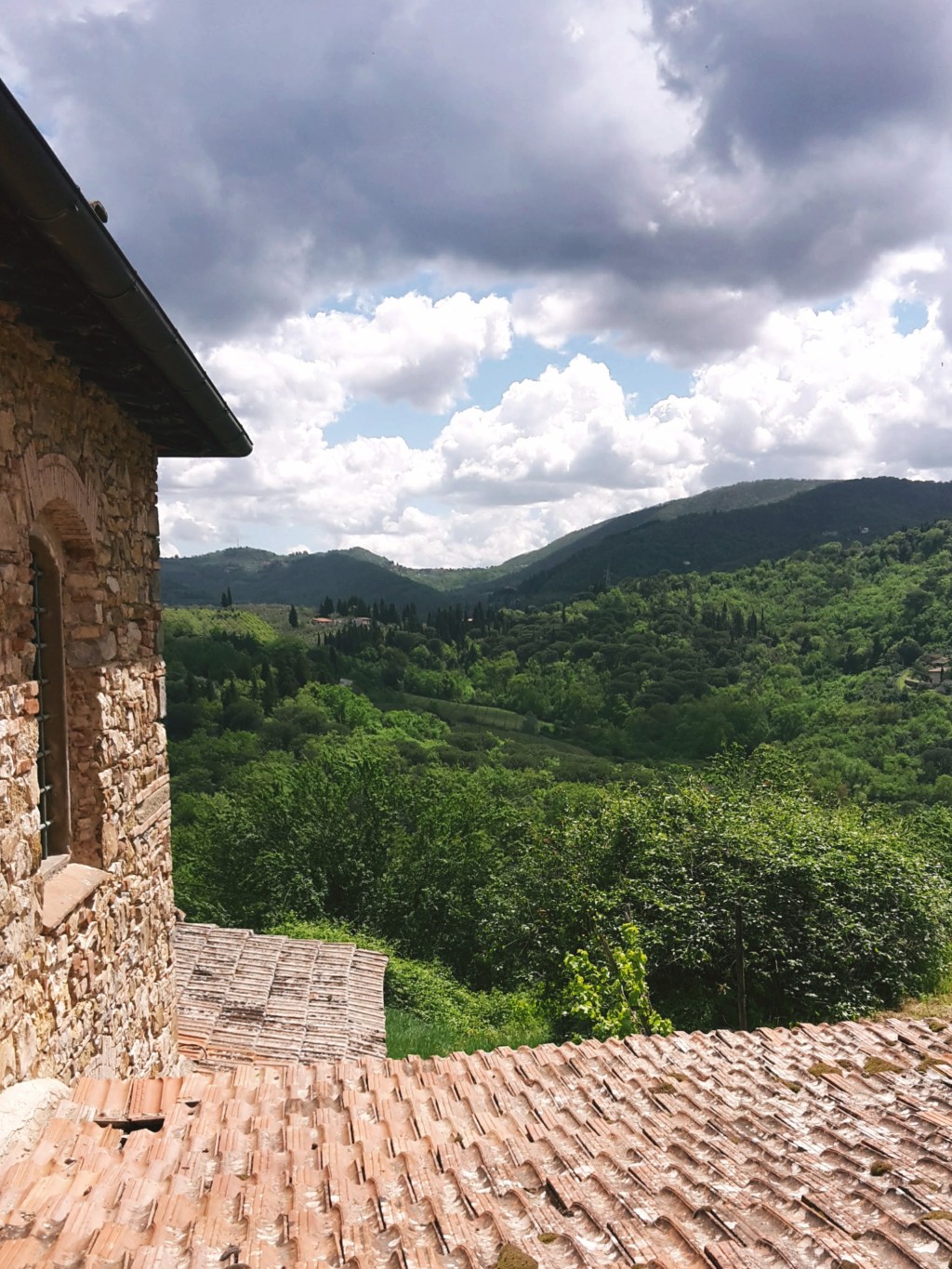
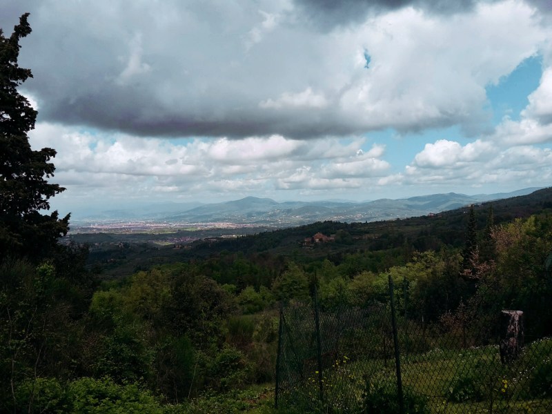
    Forested hills and a valley under dramatic clouds
    Forested hills and a valley under dramatic clouds

    Pontassieve to San Donato

    But first things first! We continue from the train staion of Pontassieve, taking the underground passage to Via Giuseppe Verdi. We turn right and head onto Via di Rosano, which will lead us over the highway, then over the Arno, to the quaint town of Rosano (nowadays a neighborhood of Rignano sull’Arno) cozily nestled at the feet of the Florentine hills. I pause to admire the bell tower of Santa Maria a Rosano, an 8th century monastery and one of the oldest in Italy. We take a right after crossing the bridge and soon we find the signs of the Renaissance Ring, which goes up on Borgo del Monastero towards the convent of Incontro.

    The first hour of this hike is a steep uphill, alternating between roads through inhabited areas and rocky terrain through dense woods. These hills are mainly made of sandstone so the gravel covering the path can become very slippery on rainy days (or right after them). We turn around every now and then to enjoy breathtaking views of Montefiesole, Pontassieve and the Apennine mountains beyond. Reaching the Incontro, the convent and the church of San Francesco are worth a brief visit, especially for the amazing viewpoint of the Florentine valley. I know it’s hard to leave such a view behind, but don’t worry – there will be plenty more where we’re going.

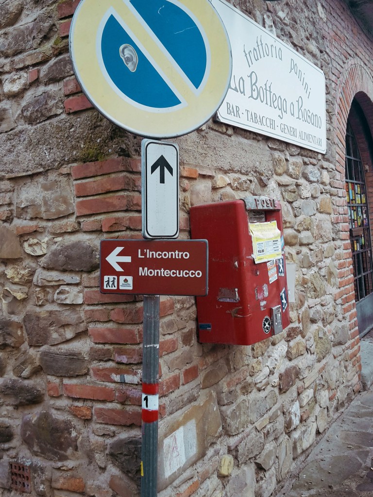
    We head down to San Donato in Collina through the tiny communities of Croce dei Frati and Monteccuco. Pay attention to the trail marks as you go through them. From Croce dei Frati, it’s a rocky path uphill. As you reach Montecucco, keep going straight south on the road until you find a narrow downhill path bordering a wire fence. We eventually meet the walls of a private property, which we’ll follow downhill for a few minutes before we approach Via Roma. It’s a short hike on this busy provincial road and the welcoming sight of San Donato in Collina makes up for it.

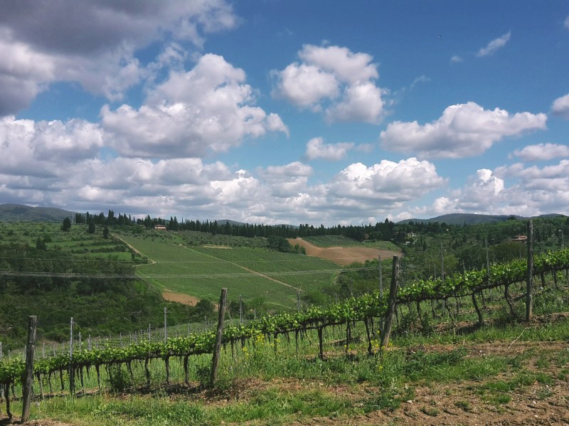
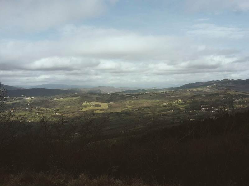
    Wide valley view under a cloudy sky
    Wide valley view under a cloudy sky

    We continue into Via Maremmana swiftly passing through the tiny town, unless you’d like to stop for one of its famous frittelle – a deep fried dough sprinkled with powdered sugar. Not as healthy as an energy bar, but definitely tastier! Don’t eat too many though because we have a steep uphill ahead taking us to the park of Fontesanta, a beautiful wooded area characterized by its Mediterranean vegetation, oak and chestnut trees. We go by a hiking shelter where, during WW2, Italian partisans of the Sinigaglia brigade took cover before embarking on their final battle against Nazi Germany to liberate Florence. Further down the path, we encounter the Sasso Scritto, a solid block of sandstone with ancient inscriptions from the 4th century BC (this one is a copy, the original can be found in the Archeological Museum of Florence).

    Tizzano and Castel Ruggero

    We leave Fontesanta and reach Tizzano, following Via di Castel Ruggero where we find a historical villa, the delightful church of Santo Stefano, and the 16th-century castle which gives this road its name. Make sure to take a short detour to check out the front of the church and be rewarded with another stunning panorama of the Florentine valley. Soon after we pass the Ruggero castle (now a Chianti winery), we turn left into Via Petigliolo di Strada and head down to cross the bridge over the Ema river. A dog trainer lives by the bridge – although he keeps his dogs in a kennel, it’s always best to be careful as you approach the area.

    On to Impruneta

    The trail continues uphill to Via Chiantigiana, a main regional highway that connects Florence and Siena cutting through the Chianti. It’s time to decide if you’re up for some rough hiking, or if you’d rather proceed on asphalt for the final 4 km (2.5 mi) to Impruneta. If an easy walk on asphalt sound appealing at this point, go left on Via Chiantigiana, then right on Via Pian di Pancole. This will take you through Santa Cristina and shortly after you’ll arrive in Impruneta.

    If you like a challenge as much as I do, take a right on Via Chiantigiana, then left in Via della Montagnola (just before a gas station) towards Podere Porciana. A closed gate awaits us at the end of this road, but fortunately we can just walk around it. The trail goes left by the building and parking area (you should be facing Impruneta on the hilltop to the west), and down to cross the narrow Grassina stream. This tract is badly kept, we have to trudge through fallen trees, passing by a huge power line before we cross the stream and regain the dirt path uphill to Impruneta. After passing by some private properties on Via delle Terre Bianche, a trail sign we’ll send us into another tortuous and poorly maintained path through the woods. We cross a stream before reaching Via di Fabbiolle and our destination! You can also decide to just ignore the trail sign and continue on Via delle Terre Bianche, turning right on Viale Vittorio Veneto for a faster and more gentle arrival to Impruneta.

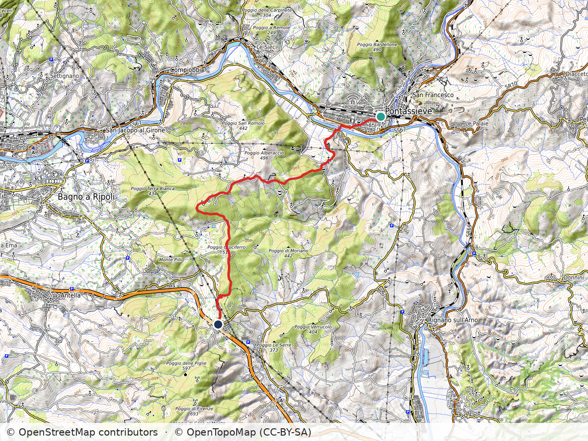
    Topographic map of the Renaissance Ring hike from Pontassieve over Montecucco to San Donato in Collina, with the route in red
    Route: Pontassieve – Montecucco – San Donato in Collina. Approximate track; map data © OpenStreetMap contributors, map style © OpenTopoMap (CC-BY-SA)

    Pontassieve – Montecucco – San Donato in Collina

    Duration: 2h30
    Distance: 12.5 km (7.8 mi)
    Elevation gain: about 610 m (2,000 ft)
    Highest point: about 530 m (1,750 ft)

    Arrive: Pontassieve (by train or bus). 30min train ride to Pontassieve from Firenze Santa Maria Novella train station
    Depart: San Donato in Collina (by bus)

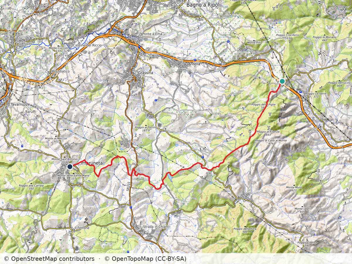
    Topographic map of the Renaissance Ring hike from San Donato in Collina via Tizzano to Impruneta, with the route in red
    Route: San Donato in Collina – Tizzano – Impruneta. Approximate track; map data © OpenStreetMap contributors, map style © OpenTopoMap (CC-BY-SA)

    San Donato in Collina – Tizzano – Impruneta

    Duration: 3h45
    Distance: 17.7 km (11 mi)
    Elevation gain: about 570 m (1,850 ft)
    Highest point: about 590 m (1,950 ft)

    Arrive: San Donato in Collina (by bus). Line 351A from Florence (Coluccio Salutati stop) to San Donato in Collina, Monday to Saturday only, no Sunday service, so check the timetable
    Depart: Impruneta (by bus). Back from Impruneta: line 39A/39B direct to the Autostazione by Firenze SMN, or line 65 to Galluzzo and change to bus 11, 36 or 37.

    Bus and train timetables in Tuscany change often. If you find a line has changed or a stop has moved, please let other hikers know in the comments below!

    Planning more hikes without a car? See my guide to day hikes from Florence by train and bus.

    Thank you for checking out my post! Let me know how I can improve it!

    Next: Renaissance Ring Part 4: Impruneta to Signa →

    Did the Chianti hills on the way to Impruneta surprise you too? Tell me in the comments.

  • Renaissance Ring (Anello del Rinascimento) 2: Mugello

    Renaissance Ring (Anello del Rinascimento) 2: Mugello

    ← Renaissance Ring Part 1

    The second part of the Renaissance Ring will take us through the beautiful Mugello. From this lush countryside, an unimportant family of wool merchants eventually migrated to Florence to become the most renowned dynasty of Tuscany – the Medici. We will also have a first glimpse at the more challenging Apennine mountain range to the east. Although we don’t reach those extraordinary mountains during this hike, they provide a wonderful scenery for us to admire along the way.

    Vaglia to Bivigliano

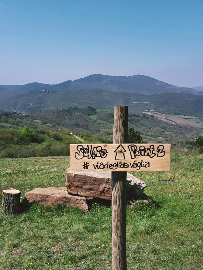
    We restart in Vaglia, a tiny town of 5,000 people. The central area around the train station lacks major attractions, so we can immediately proceed on our hike. The trail continues briskly uphill, first on Via del Poggio agli Uccellini, and then on Via di Signano. A side road leads us to a private property and a gate. Just open it (and close it) to follow on the trail. Beautiful views of Vaglia and the surronding mountains make for a very pleasant hike in this wooded area. Soon, we arrive at an intersection: path CAI 20 goes on an inviting uphill (not!) to the left. Do not take this path, unless you feel up to a steep uphill hike in the woods that will take you to the top of Poggio agli Uccellini, 544 m (1,785 ft) without offering any panoramic views.

    Instead, keep going on the path ahead which goes around the hillock and takes us through the neighborhood of Sommavilla to eventually arrive at the campsite of Poggio degli Uccellini. We are back on asphalt and soon after we reach the town of Bivigliano. The parking area at the end of Via Roma have the best views of Monte Morello and the Mugello beyond. The town itself is not much to look at, the most interesting attraction around here is the monastery of Monte Senario. Today, I’m not taking the detour to visit it but you can read more about it on this post:

    Via degli Dei to Santa Brigida

    Following Via di Monte Senario, the path becomes familiar – this is also part of Via degli Dei (the Way of the Gods) between Florence and Bologna. Heading downhill on a grassy path to Vetta le Croci, we have a feast for our eyes. Facing south, the vast greenery covers the hills, the valley of the Mugnone river and Fiesole appear on the horizon, and Poggio Pratone dominates the landscape at 702 m (2,303 ft).

    We cross Via Faentina to continue on the dirt trail and soon we are on the Provincial Road n.84, where we take a left to reach Alberaccio. Here, the trail continues uphill on the left, following path CAI 8 to Madonna del Sasso, a sanctuary built in the 15th century, when the Virgin Mary performed several miraculous apparitions in the area. Although the path goes through the woods, this area has been heavily inhabited historically. We can find several structures (the burraie) where local countryfolk would produce and conserve butter between the 1700s and mid-1900s. In fact, there is a whole trail dedicated to them (the Sentiero delle Burraie), while other paths lead to the highest peaks of the area such as Poggio Ripaghera, 913 m (2,995 ft) and Monte Giovi, 992 m (3,254 ft). Definitely worth exploring, but it will be for a next time.

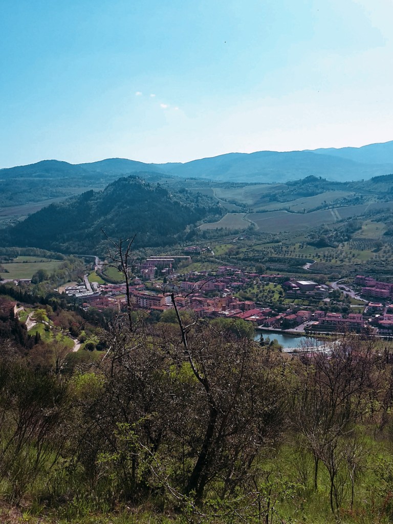
    We are practically at the end of this leg. I take a few minutes to enjoy the courtyard of Madonna del Sasso and the amazing views of the valley below Santa Brigida. Going around its external wall, we follow an 18th century stone path which still is the main pilgrimage route to access the sanctuary. After a sharp downhill, we approach the town and church named after St. Brigid of Ireland, an early Christian missionary who allegedly retreated herself to hermit life in a local grotto, right under the church erected in her honor.

    Santa Brigida to Pontassieve

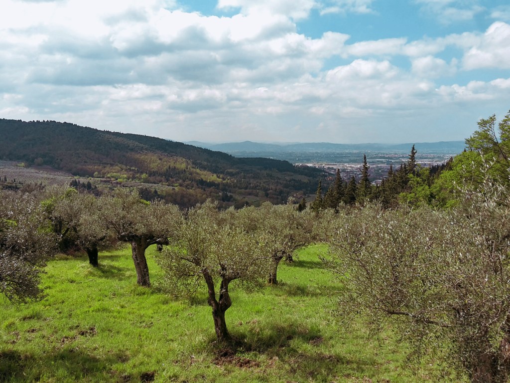
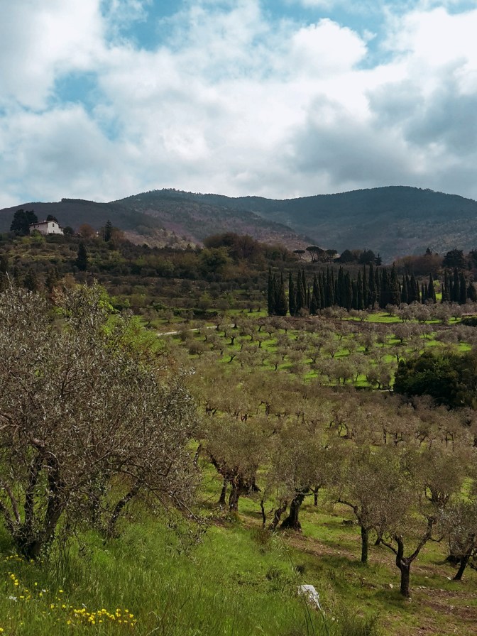
    From the church of Santa Brigida, we continue on asphalt through Via Piana and then Via di Parga. On our right, rustic panoramas dotted with churches, castles and country villas, and Poggio Pratone, 702 m (2,303 ft) overlooking it all. It’s an easy walk until Fornello, where we take a sharp left into Via di Fornello, ascending in between the houses towards Galiga. The path quickly becomes a rough trail in fragrant woods of pine, cypress and oak. We turn right into a dirt road, then right again into asphalt, on Via di Galiga. Here, we start following path CAI 7 which will take us all the way to Pontassieve.

    The scenery gets better and better as we get closer to Montefiesole. To the west, the Valdarno – the valley of the Arno river – and its charming greenery of olive groves and vineyards. To the east, the Valdisieve – the valley of the Sieve river – beyond, the imposing Appenine mountain range with some of the highest peaks of the region like Monte Acuto, 1,484 m (4,869 ft) and Monte Falterona, 1,654 m (5,427 ft), where the Arno river is born. Plenty of hiking trails await up there, I have them in my near-future plans.

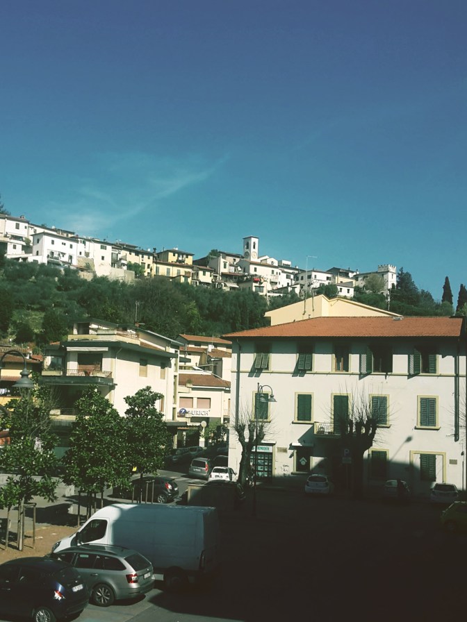
    A recently restored windmill from the 1700s makes for an unusual sight in Monterifrassine. Soon, we are again on a dirt road, which becomes a rough path going up to Montefiesole and the church of San Lorenzo. Prepare your knees! The last 2 km (1 mi) are a brisk downhill as we drop from 500 m (1,600 ft) to 100 m (300 ft) before we arrive in the historical center of Pontassieve. With its earliest records going back to the 11th century, this town of 20,000 people is worth a quick visit for its old city gates and the Medici bridge that has crossed the Sieve river since the 16th century.

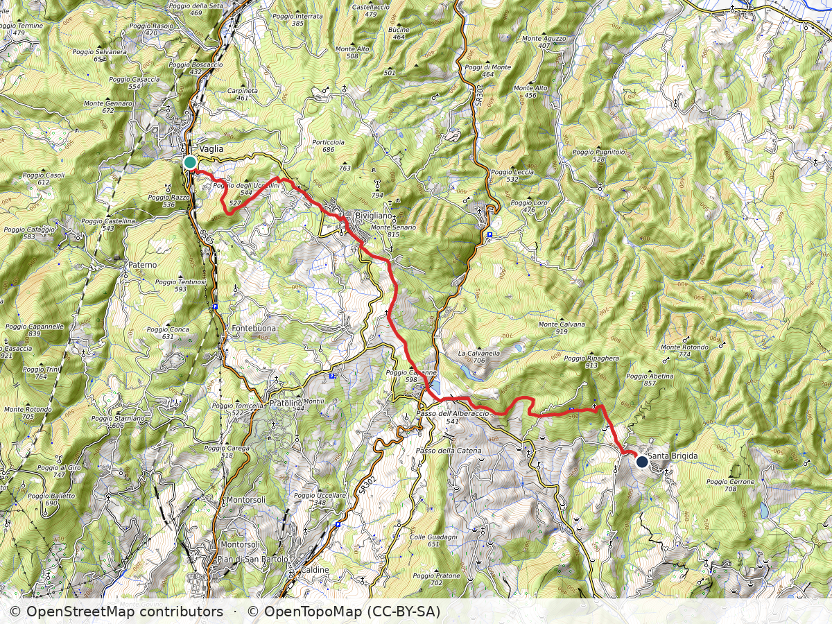
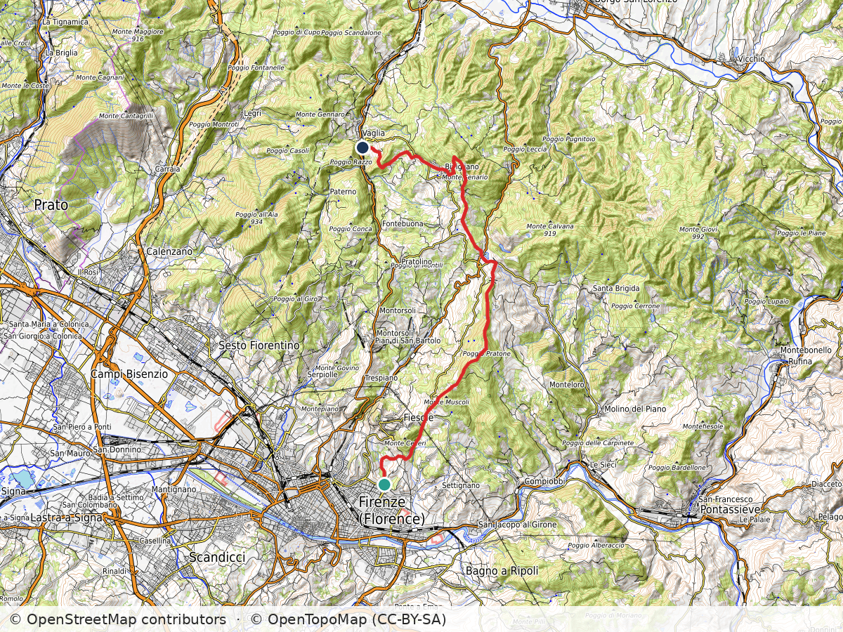
    Topographic map of the Renaissance Ring hike from Vaglia over Vetta le Croce to Santa Brigida, with the route in red
    Route: Vaglia – Vetta le Croce – Santa Brigida. Approximate track; map data © OpenStreetMap contributors, map style © OpenTopoMap (CC-BY-SA)

    Vaglia – Vetta le Croce – Santa Brigida

    Duration: 3h30
    Distance: 16 km (10 mi)
    Elevation gain: about 560 m (1,850 ft)
    Highest point: about 650 m (2,150 ft)

    Arrive: Vaglia (by train). 30min ride from Santa Maria Novella to Vaglia
    Depart: Santa Brigida (by bus). Line 330C returns from Santa Brigida to Florence, or 331B/331C goes to Pontassieve for trains to Florence (only a few runs a day, so check the timetable)

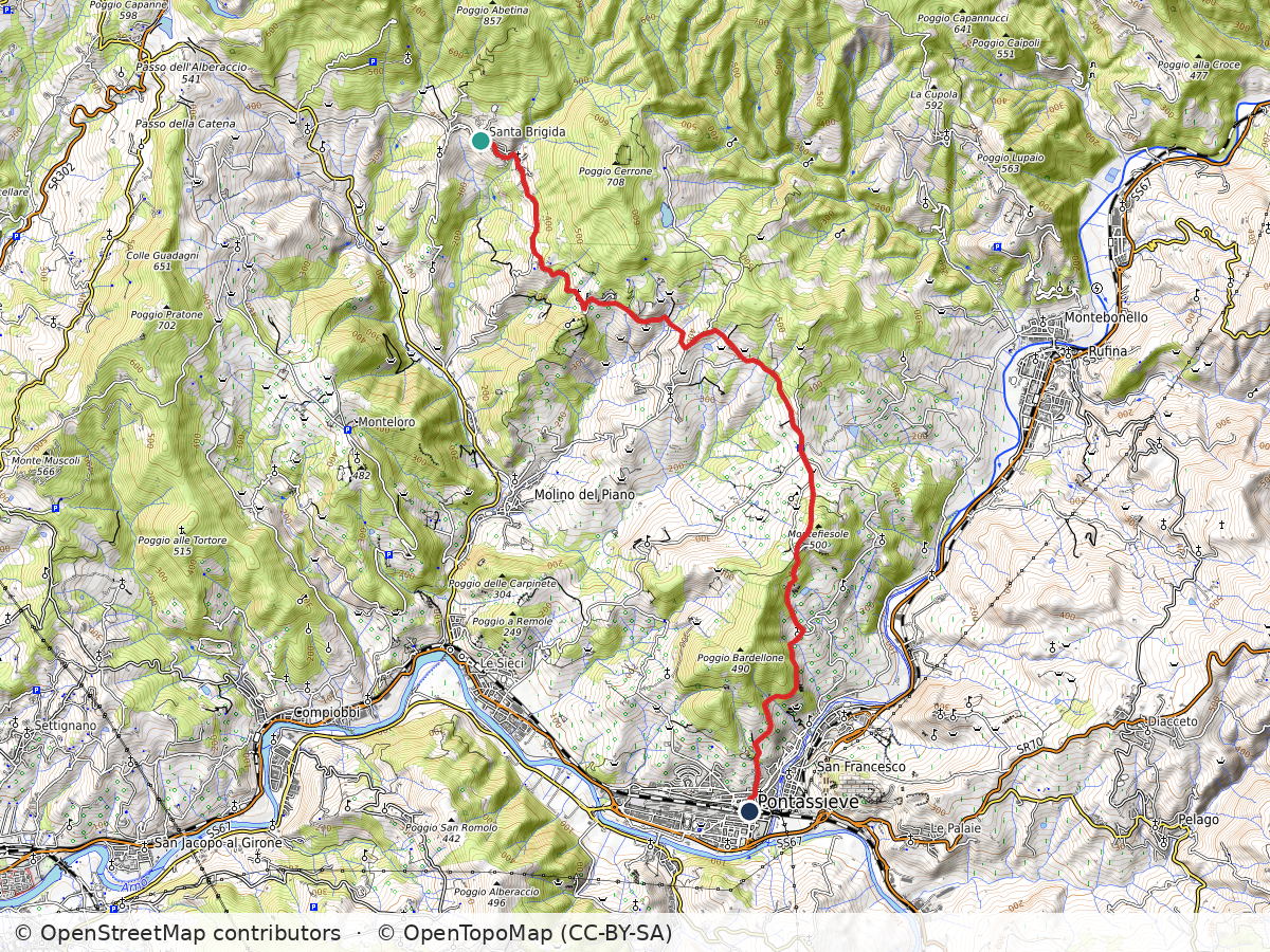
    Topographic map of the Renaissance Ring hike from Santa Brigida via Fornello down to Pontassieve, with the route in red
    Route: Santa Brigida – Fornello – Pontassieve. Approximate track; map data © OpenStreetMap contributors, map style © OpenTopoMap (CC-BY-SA)

    Santa Brigida – Fornello – Pontassieve

    Duration: 3h
    Distance: 13.5 km (8.4 mi)
    Elevation gain: about 300 m (1,000 ft)
    Highest point: about 450 m (1,500 ft)

    Arrive: Santa Brigida (by bus). Line 330C from Florence to Santa Brigida (check the timetable; few runs a day)
    Depart: Pontassieve (by train)

    Bus and train timetables in Tuscany change often. If you find a line has changed or a stop has moved, please let other hikers know in the comments below!

    Planning more hikes without a car? See my guide to day hikes from Florence by train and bus.

    Thank you for reading! I hope you enjoyed, please post your comments so I can improve this blog!

    Next: Renaissance Ring Part 3: the Chianti hills →

    Have you hiked through the Mugello along the Sieve? Share your favorite stretch in the comments.

  • Renaissance Ring (Anello del Rinascimento) 1: Signa–Vaglia

    Renaissance Ring (Anello del Rinascimento) 1: Signa–Vaglia

    As spring begins, I become more adventurous and decide to tackle the trail called Anello del Renascimento, or the Renaissance Ring. Using Florence and its Duomo as the central point, the trail loops around 170 km (105 mi) connecting several historical towns and sites through Monte Morello, the Mugello, Valdisieve, the Chianti and more. It could be completed on 4-5 long hiking days. Better yet, 6-7 days if you’d like a more paced experience, giving plenty of time to gaze at the beautiful scenery and explore the places you’ll encounter along the way. Another option, which was more suited for me because I live here, is to take day trips from Florence and discover it bit by bit.

    Path through olive groves toward Monte Morello
    Views of Monte Morello abound in this part of the hike

    I chose the town of Signa as the starting point for a couple of reasons: it’s an easy train ride (20 mins) from Santa Maria Novella station in Florence and I thought I would start nice and easy. We had a mild winter and hadn’t seen rain in a while, and it wasn’t full summer yet. So, less bugs, not as hot, a great time to hike across the plain of the Bisenzio river, passing Campi Bisenzio on the way to Calenzano.

    Signa and the Bisenzio

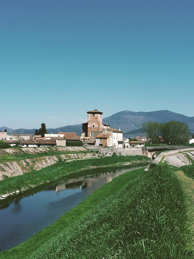
    Coming out of the train station, we see the old town perched on the hill crowned by the bell tower of the church of Santa Maria in Castello. Small in size and in population (almost 20,000 people), rich in history: Signa is first documented back in the days of the longobard margraves, during the Early Middle Ages. But, not far from we find an etruscan necropolis from the 8th century BC in the Montalbano hills. For centuries, this was the main route between Pisa and Florence, making Signa into an extremely coveted position. Closer to our days, the town became known for its local handcraft, especially terracotta and straw weaving.

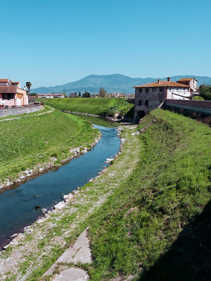
    The Bisenzio river with Monte Morello in the distance
    Bisenzio river and Monte Morello beyond

    The Renaissance Ring takes us right through town – from Via Roma up onto the steps of Via del Castello into Via Mura Castellane then Via dell’Orologio. Passing by Piazza Claudio Bigagli and 10th century Santa Maria in Castello, we continue to Via Dante Alighieri and head down to Piazza Cavour and 7th-century church of St. John the Baptist. By the town hall, we head down the local park to Via Roma and then take Via dei Renai until we cross the bridge over the Bisenzio.

    We are at the entrance of the Renai park. We don’t enter the park, instead, on our left the trail follows the river towards San Mauro. Unfortunately, this stretch was flooded several winters ago and the path destroyed. After about 0.8 km (0.5 mi) flanked by tall reed, the path disappears into an open field, someone’s property. Crossing it during winter or early spring should be an issue, since the land is still being worked on, but later in the year you may find the owner not pleased about people trudging through his land. The alternative would be, before crossing the Bisenzio, to take a left in Viale dell’Arte della Paglia and then right into Via Argine Strada, and walk on the busy road until San Mauro. I rather deal with the farmer, although I didn’t meet him this time.

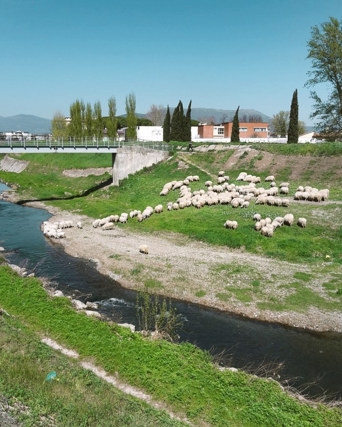
    Flock of sheep grazing on the banks of the Bisenzio river
    Bucolic scenes along the Bisenzio river

    OK, the trail between Signa and San Mauro is uninspiring. Vegetation is overgrown and the low thick bush makes for an unpleasant walk. But, hey! We are in Tuscany and this is the Renaissance Ring! We finish this section very quickly, and soon things improve considerably on the way to Campi Bisenzio. We cross to the other bank, and the river walk becomes what I expected. We can finally enjoy the Bisenzio, a tame river, one of the tributaries of the Arno, where blue herons and eagrets feed, giant wels catfish jump in the air, and local Tuscans sunbathe on the banks while their dogs frolic in its waters. Every once in while, turn around for a beautiful sight of Signa, on the now distant hills.

    The plains between Florence and Pistoia make an important industrial zone in Tuscany, full of warehouses, factories and connecting highways. It’s surprising how quiet and peaceful the hike along the Bisenzio is. It feels like a walk in the countryside. Occasionally, we see small land owners planting their grain and tending their gardens and greenhouses. Ahead, the ranges of the Calvana and Monte Morello make for a stimulating background. The Renassaince Ring will eventually take us up to the park of Monte Morello, once we pass Calenzano.

    Medieval brick castle Rocca Strozzi in Campi Bisenzio
    14th century Strozzi Fortress in Campi Bisenzio

    Campi Bisenzio

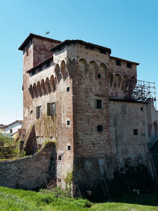
    Arriving in Campi Bisenzio, we first notice the imposing Strozzi Fortress, a 14th-century castle that guards the river and is currently under restoration. Practically a suburb of Florence, the town itself doesn’t offer much more, and we can swiftly make our way to Calenzano. After crossing the bridge to the other bank, we continue to follow the river on a very scenic path. By the neighborhood of Capalle, we’ll cross our last bridge of the day and say our goodbye to the faithful Bisenzio who guided us for the past 10.5 km (6.5 mi). We take Via di San Quirico to the tiny and quaint center, then Via di Pantano to meet the Marinella stream. Don’t cross the bridge! Go right towards the highway and the underpass that will bring us to the commercial area of I Gigli – shopping mall, hypermarket, cinemas…the whole shebang. No need to slow down around here, we soon arrive at train station of Calenzano to end this leg of the hike.

    Calenzano, Monte Morello and Vaglia

    Like in most Tuscan towns, the surroundings of the Calenzano train station are pretty drab. But let’s not get discouraged, after a few minutes walking on Via del Molino, we cross a bridge over the Marina stream and continue gently uphill on Via del Castello. Things improve fast, as we pass by the 19th century Villa Peragallo and soon reach the entrance gate of the Castle of Calenzano. The views from Piazza San Niccolò are worth a pause to appreciate what we’ve just accomplished: on the horizon, Signa appears as a hazy cluster lodged at the feet of Montalbano. I welcome the sight of the Calvana and its main peaks – Retaia, Cocolla and Cantagrilli. Although they aren’t in the program today, I very much enjoy hiking up there.

    Next stop is the church of San Donato, which has been around since the 9th century, on the adjacent hill. We continue east on Via di San Donato, passing under the highway to Via delle Vigne and the 11th century church of San Rufignano a Sommaia. The trail then turns westward by a house with tiny Medici crest, and shortly we pass a bar that keeps cars from going further into the park of Monte Morello. We continue on a forest road that contours the slopes of Monte Morello offering magnificent views of the surrounding countryside until we reach the church of San Giusto a Gualdo, which has been transformed into a shelter for hikers.

    After the shelter, the trail follows the road for a short while before we take path CAI 11 by the Vecciolino spring. Now, pay attention as you arrive at an inhabited area with a bee farm. The Renaissance Ring continues through here but this area also houses an archery range. There are plenty of signs, ribbons, painted arrows and foot trails to take you to the several practicing targets. If you start seeing animal props like bears, cows and deer (it’s a bit surreal but makes total sense, in best Italian fashion), you already lost the trail. The path CAI 11 takes us through woods of pine, cypress, oak and fir trees to the Sella delle Colline, a crossing of several trails. From here, the adventurous soul could take a detour to reach the highest peaks of the range – Poggio Casaccia, 921 m (3,022 ft), Poggio Cornacchiaccia, 892 m (2,927 ft) and Poggio all’Aia, 934 m (3,064 ft). This deviation would add at least another 1h30 to the hike and definitely reward you with wonderful views of the surrounding area. To continue on the Renaissance Ring, we take CAI 7 for a quick descent to Pescina contouring Poggio Trini.

    We leave the woods of Monte Morello to find Via di Pescina, which will take us to Paterno, a secluded suburb of Vaglia. From here on, it’s an easy and bland hike on a not too busy road until we reach the more trafficked road of Via Bolognese that connects Florence and Bologna. Thankfully, we don’t spend much time on it and soon arrive in Vaglia to close the second leg of the trail.

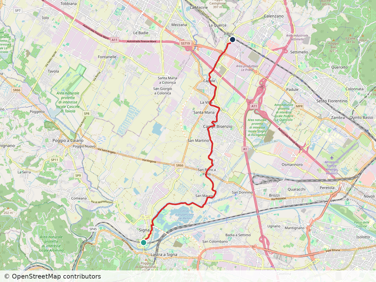
    Street map of the Renaissance Ring walk from Signa through Campi Bisenzio to Calenzano, with the route in red
    Route: Signa – Campi Bisenzio – Calenzano. Approximate track; map data © OpenStreetMap contributors

    Signa – Campi Bisenzio – Calenzano

    Duration: 3h
    Distance: 14 km (8.7 mi)
    Elevation gain: about 50 m (160 ft)
    Highest point: about 50 m (160 ft)

    Arrive: Signa train station
    Depart: Calenzano train station
    20-30 min train ride each way from Santa Maria Novella station

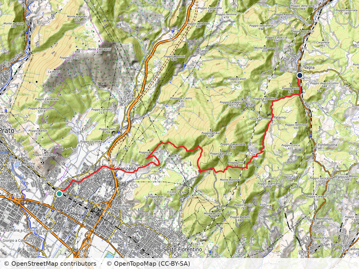
    Topographic map of the Renaissance Ring hike from Calenzano over Monte Morello to Vaglia, with the route in red
    Route: Calenzano – Monte Morello – Vaglia. Approximate track; map data © OpenStreetMap contributors, map style © OpenTopoMap (CC-BY-SA)

    Calenzano – Monte Morello – Vaglia

    Duration: 5h
    Distance: 21.1 km (13.1 mi)
    Elevation gain: about 910 m (3,000 ft)
    Highest point: about 680 m (2,250 ft)

    Arrive: Calenzano train station
    Depart: Vaglia train station
    30 min train ride each way from Santa Maria Novella station

    Bus and train timetables in Tuscany change often. If you find a line has changed or a stop has moved, please let other hikers know in the comments below!

    Planning more hikes without a car? See my guide to day hikes from Florence by train and bus.

    I hope you enjoyed this post! Please write your comments so that the next one becomes even better!

    Next: Renaissance Ring Part 2: from the Mugello to the Sieve →

    Are you tackling the Renaissance Ring one stage at a time? Tell me in the comments which stage you’re starting with.

  • Monte Senario Hike from Florence on the Via degli Dei

    Monte Senario Hike from Florence on the Via degli Dei

    I woke up feeling ready to explore somewhere new. It was cloudy outside, but it seemed like a good day to go hiking anyway. Actually, every day is a good day if you have the right attitude and the right gear. And, I’m in Florence, so there isn’t anything too challenging around here that should make me worry about the weather.

    North of Fiesole, Monte Senario houses the most famous monastery of the Mugello region. I’ve been thinking about visiting the area for while. It is also on the popular Via degli Dei – the Way of the Gods – a 100 km (62 mi) trail between Florence and Bologna. Hiking the full path is on my ‘to do’ list but today I wasn’t tackling the whole thing. I was willing to explore this leg though.

    Panoramic view over hills and valleys under heavy clouds
    Omnious sky – are the Gods angry today?

    Up from Campo di Marte

    I started my walk at the Salviatino, in Florence, a lovely area in the Campo di Marte neighborhood that leads up to Fiesole following what is left of the Affrico river, one of the tributary rivers of the Arno. Tamed a long time ago, most of its course runs underground nowadays. We are on path CAI 7 and the beginning of Via degli Dei which goes uphill for about 40 minutes, taking us by Monte Ceceri and its famous limestone quarries where Michelangiolo tried his first hand at sculpture and Da Vinci unsuccesfully tested his flying contraption. What a great place to absorb the history and the beauty of the Florentine countryside!

    We skirt the neighborhood of Borgunto, at the top of Fiesole, heading east toward San Clemente. The road offers great views of Pian di Mugnone, the valley of the Mugnone river, another tributary of the Arno, and the north side of Fiesole and the Cathedral of St. Romulus. Fiesole is an ancient city, founded by Etruscans at least 700 years before Romans built the castrum of Florence, and definitely worth exploring. But that will be another day. Now, Poggio Pratone at 702 m (2,303 ft) awaits as we continue toward Monte Senario.

    Rocky trail through pine woods
    Hiking down to the Alberaccio

    Poggio Pratone and the Via degli Dei

    Following Via San Clemente, the signs of the Way of the Gods direct us to a side trail to Alberaccio. On the way, we reach the top of our hike at Poggio Pratone to be rewarded with a beautiful view of the Florentine valley and the rolling Chianti hills beyond it. A tombstone commemorates fallen Italian partisans who were massacred in this area fighting against Hitler and Mussolini during World War II. After paying the due respect and taking a last glance at the gorgeous panorama, we continue downhill to Alberaccio and Vetta la Croce.

    Soon, the vegetation changes on this side. Thick pine woods block the sun and make for a pleasant hike with amazing views of Fiesole and Monte Morello along the way. We cross the road at Passo alla Catena and continue further north on the path to Alberaccio. From here to Vetta alla Croce is a short hike. At least it should be, but it’s hard to keep going without pausing repetitively and for long periods of time to admire the breathtaking landscape. Looking north, we can already see the monastery of Monte Senario atop the mountain. Looking south, Poggio Pratone, Fiesole and the valley of the Mugnone river are extraordinary. And, the green fields covering this area make it all picture perfect.

    Monte Senario and down to Vaglia

    After passing Poggio Capanne, we arrive at the watershed between the Mugnone and Valdarno to the south, and the Mugello to the north. The Mugello looks completely different. This is definitely not the Chianti. Less vines, less olive trees, more fields of grain, more woods of oak, fir and cypress trees, higher mountains. Gorgeous just the same. We follow Via di Monte Senario until we arrive at the parking area of the monastery. Around here, a medieval icebox makes for an unusual sight. The entrance to the monastery grounds call for respectful silence and introspection, and the tall Douglas fir trees flanking the path uphill add to the mood. Positive energy abounds here, I could really feel the batteries recharging as I went up.

    Seven Florentine noblemen established the monastery of Monte Senario in the 13th century. The construction we see today has been modified in the 16th, 18th and 19th centuries as well. Going around it, we can enjoy the Mugello valley down below and the high peaks of the Apennine mountains beyond it. The Way of the Gods continues north from here, but today I only went as far as the junction with path CAI 65 which leads us down to Vaglia and its train station. I will be back to complete the hike, sooner rather than later.

    Topographic map of the hike from Campo di Marte over Poggio Pratone and Poggio Capanne to Monte Senario and down to Vaglia, with the route in red
    Route: Campo di Marte – Poggio Pratone – Poggio Capanne – Monte Senario – Vaglia. Approximate track; map data © OpenStreetMap contributors, map style © OpenTopoMap (CC-BY-SA)

    Campo di Marte – Poggio Pratone – Poggio Capanne – Monte Senario – Vaglia

    Duration: 5h30
    Distance: 24 km (15 mi)
    Elevation gain: about 980 m (3,200 ft)
    Highest point: about 800 m (2,600 ft)
    Trails: Via degli Dei (the Way of the Gods)

    Arrive: Via Lungo L’Affrico corner with Viale Augusto Righi. Bus n. 11 (Autolinee Toscane) from Firenze Santa Maria Novella train station (direction Salviatino)
    Depart: Vaglia train station

    Bus and train timetables in Tuscany change often. If you find a line has changed or a stop has moved, please let other hikers know in the comments below!

    Planning more hikes without a car? See my guide to day hikes from Florence by train and bus.

    I hope you enjoyed reading it! Let me know your thoughts!

    Related hikes: Renaissance Ring 1 over Monte Morello · SO.F.T. trail

    Walking the Via degli Dei, or thinking about it? Leave a comment with your plans or questions.

  • Hiking near Florence, Italy: Galluzzo to Impruneta

    Hiking near Florence, Italy: Galluzzo to Impruneta

    I’ve lived in Florence, on and off, for eight years. You’d think that by now I’d know all this beautiful city has to offer. It’s true that I’ve seen more than what your average visitor would see, and maybe even more than some less adventurous locals. But Florence is the gift that keeps on giving. What a gorgeous place I live in! Today, I decided to explore the paths in the southern part of the city and what a surprise! Wonderful scenery available so close home, passing through Galluzzo and reaching the outskirts of Impruneta, an area famous for the quality of terracotta ceramics.

    Galluzzo and the Certosa

    We will start the walk from Via Senese – the golden arches mark the spot. I know, you wouldn’t expect a beautiful hiking path to start at a McDonalds but trust me, soon you’ll forget this minor detail. Going up Via Bernardo Poccetti, we leave the trafficked road to start enjoying the first views of the bucolic Florentine countryside. We take the left on Via delle Campora, a charming and narrow street. It is one of my favorite streets in Florence, offering us peaceful landscapes, stone townhouses and elegant villas, before it changes to Via delle Romite. The path opens to green olive groves and rosemary bushes cover the walls that flank us on the right, eventually bringing us to Galluzzo.

    We head down Via Santa Chiara for a brief walk around town, arriving at the main square and passing by the public park before continuing to the carthusian monastery on the top of the hill. La Certosa (Charterhouse) can be visited year round. I pass it again on the last stage of the Renaissance Ring. Few monks remain – there were 11 last time I visited – and they are very welcoming and available to lead visitors for an hour around the complex. The times are fixed so check their website beforehand. It’s worth a visit, but I’m not doing that today. It’s a lovely winter day and I want to continue on this hike.

    Toward Pozzolatico

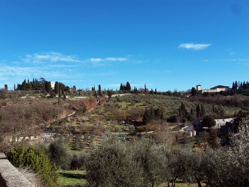
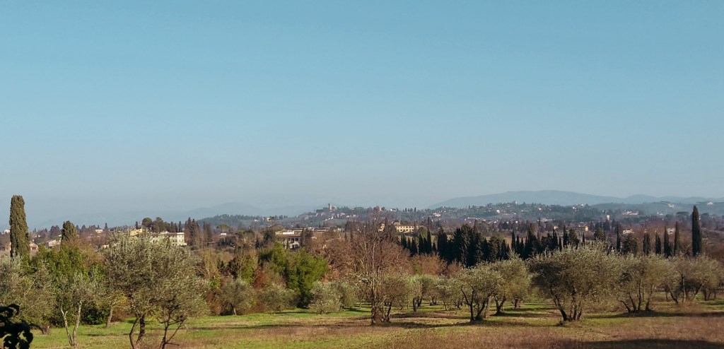
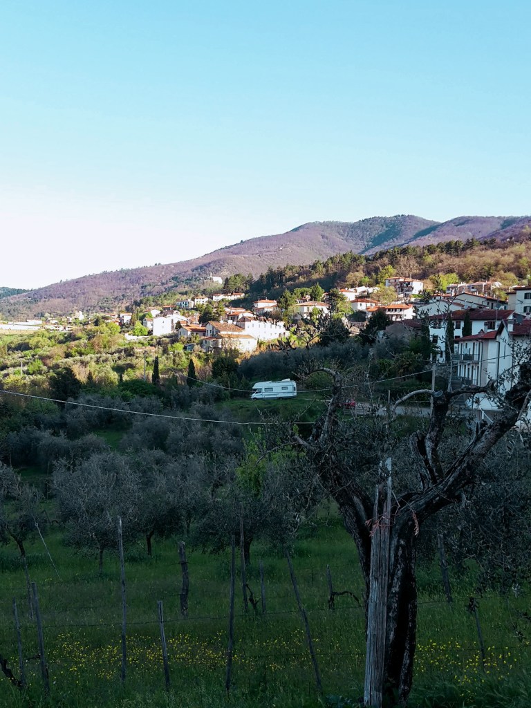
    We are going up again in Via Luigiana, taking us southeast towards Pozzolatico, a neighborhood of Impruneta. Allow plenty of time on this road for breaks, gasping at the sheer beauty of the breathtaking panoramas. At times, the views are so fantastic that they seem fake, like a perfectly designed movie set. The hike to Pozzolatico is a happy one, just take in the olive groves and vineyards sprawling in the valley below. This is Tuscany at its best.
    Back to Galluzzo

    The wonder continues on Via Vecchia di Pozzolatico, another gorgeous country road, the peace only disturbed by the startled doves and pheasants that populate the area. Clumsy creatures – or maybe I’m the clumsy one. This old road leads us back to Galluzzo while we admire Monte Morello on the other side of the Florentine valley, and on a lucky clear day, the towering Appennines in the far distance. We arrive at the public park of Galluzzo crossing the timid Ema river. After crossing a provincial road at a very confusing roundabout, we find the quaint church of San Felice a Ema, where we take the path on the left for a last walk in the countryside before we reach Via Senese and the end of this amazing hike.

    I hope you enjoyed this hike! Let me know what you think!

    Trail map of the Galluzzo and Impruneta loop with an elevation profile
    Trail map of the Galluzzo and Impruneta loop, with the elevation profile

    Due Strade – Galluzzo – Pozzolatico

    Duration: 2h30
    Distance: 10 km (6.2 mi)

    Arrive / Depart: McDonalds at Via Senese. Bus n. 11, 36 or 37 (Autolinee Toscane) from Piazza Santa Maria Novella

    Bus and train timetables in Tuscany change often. If you find a line has changed or a stop has moved, please let other hikers know in the comments below!

    Planning more hikes without a car? See my guide to day hikes from Florence by train and bus.

    Related hikes: Renaissance Ring 3: Chianti hills · Arcetri hills

    Have you walked from Galluzzo out to Impruneta? Let me know in the comments how it went, or ask me anything about the route.

  • Arcetri and Pian dei Giullari: Florence Hill Walk

    Arcetri and Pian dei Giullari: Florence Hill Walk

    It’s Sunday in Florence. This is a fantastic city and, of course, I’m not the only one to realize it. On a beautiful day like today, thousands of people from all over the countryside and beyond usually come into town for a stroll in its charming streets, like Via dei Tornabuoni, Via del Corso and Via di Calzaiuoli. As the tourist season intensifies, we add tens of thousands people more to our very compact historical center. If you enjoy crowds and people watching, this is the place to be. I don’t, so I usually avoid the center of Florence on Sundays. For another quiet loop nearby, see my Bellosguardo walk.

    Today is another gorgeous winter day though. It’s a waste to spend it inside. So, how can we enjoy Florence without being in the middle of the hustle and bustle? Well, I think I know just the right path for us to walk on. From Porta Romana, the imposing 14th century city gate that controled passage to and from Rome, we follow Via di Poggio Imperiale on a path that shifts from gravel to grass back to gravel as it ascends above the road, giving us the impression of walking on the city ramparts. We pass several elegant villas and townhouses before arriving at Villa di Poggio Imperiale, a Medici residence back in the day that is now a public school. Stone lions guard the sides of the road and the villa dominates the scene at the top of the hill.

    Old stone house with shuttered windows on a narrow lane
    Old stone house with shuttered windows on a narrow lane

    Into Arcetri

    We go left and then turn right into Via Suor Maria Celeste, named after Galileo’s daughter (born Virginia Galilei) who lived in a convent on this street. We are walking in the neighborhood of Arcetri, which is tightly related to Galileo. The observatory from where he made some of his astronomical discoveries is here, still in use as part of the University of Florence. You will notice its white dome many times as we walk around these hills.

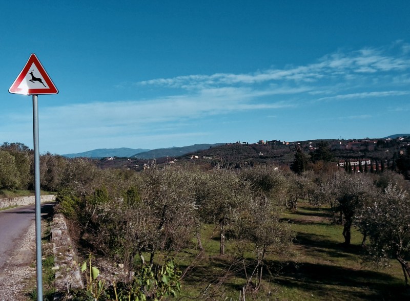
    The views of the countryside around Galluzzo soon reveals itself, Renaissance style villas occasionally appearing on each side of the narrow road. Around here, no cars, no people, just chirping sparrows and fluttering turtle doves. We go by Villa Le Piazzole and turn left into Via di San Matteo in Arcetri, flanked by low stone walls and olive trees. On lucky days, it’s possible to enjoy a wonderful panorama and learn some Tuscan geography: Monte Morello, towers above Florence at 934 m (3,065 ft); moving west, the Calvana, also reaches 915 m (3,000 ft) above Prato; across from them, on our side of the Arno river, we can see all the extension of the Montalbano, which peaks at 633 m (2,077 ft) and closes the valley in the distance where it encounters the Appenines by Pistoia and Serravalle Pistoiese. Beyond these geographical features, the high Apennines and the Apuan Alps can be seen on exceptionally clear days.

    Almond tree in white spring blossom
    Almond tree in white spring blossom

    Continuing the hike, it is time to admire the picturesque Tuscan hills towards Impruneta, with their olive groves (silvery green year round), vineyards (vivid green in the summer), umbrella pines, cypress, almond trees (beautiful white bloom around February/March) and rosemary bushes. We soon pass the church of San Matteo in Arcetri and the convent of Sister Maria Celeste to arrive at a junction with Via del Pian dei Giullari.

    Santa Margherita a Montici

    We turn right, hiking along this charming street of isolated villas with some of the most beautiful panoramas over Florence and the hills of Fiesole. We head uphill to reach the romanesque church of Santa Margherita a Montici. The valley of the Ema river opens up on our right, which unfortunately also brings loud highway traffic noise since one of the main national roads connecting the north and south of Italy cuts through it. But it doesn’t take the beauty away, especially when we are further down. The Ema valley disappears, substitued by a breathtaking view of Florence, the Duomo and the church of Santa Croce, the soccer stadium, and the neighborhoods of Campo di Marte and Coverciano, with Fiesole peacefully watching over them.

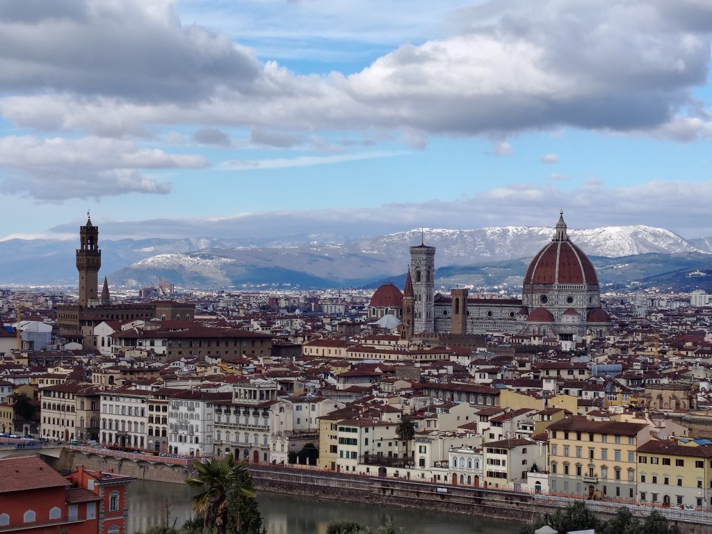
    We continue downhill and turn left in Via Benedetto Fortini, soon arriving in the neighborhood of Gavinana, where we find 19th century townhouses in Victorian style. We could easily head to the center of Florence from here, following the Arno downstream. But we want to stay in Oltrarno and arrive at the most scenic postcard of the city: Piazzale Michelangiolo. Yes, it will be busy but it’s worth it. After all, we spent most of the walk away from it all.

    View over the valley and hills from Santa Margherita a Montici
    Beautiful view of the Ema river valley

    San Miniato and the walls

    So, let’s cross Viale Michelangiolo into Via dei Bastioni and turn left on Via di San Miniato al Monte, a steep uphill that coasts Florence’s most panoramic campsite. It will help us avoid the traffic of the other streets. At the top, we rejoin Viale Michelangiolo, turning left to soon arrive at the awesome Piazzale designed by Giuseppe Poggi in the late 19th century. This was one of the many projects he developed in his quest to turn Florence into a city suitable to be capital of the newly unified Kingdom of Italy and house the royal family of Savoy. His beautification works are controversial in Florence, but I’ll say he hit a homerun with Piazzale Michelangiolo. The view is amazing – any time of the day, any season of the year – and worth a thousand words. Just enjoy it.

    You thought our day was over? This awesome panorama just reinvigorated me, so we will head for the last leg of our walk through charming Florentine streets. First, a detour uphill to visit my favorite church in Florence: San Miniato al Monte. This 11th century basilica in romanesque style has a beautiful marble facade and it was erected in the site where the martyr St. Miniato died. As the story goes, the saint miraculously walked uphill with his head under his arm after a roman soldier beheaded him by the Arno river. Those were the days! With our heads firmly attached to our neck, we can better enjoy another gorgeous view of Florence before continuing on Via delle Porte Sante, and then turning right on Via dell’Erta Canina after we cross the road.

    Narrow street with ochre houses
    Narrow street with ochre houses

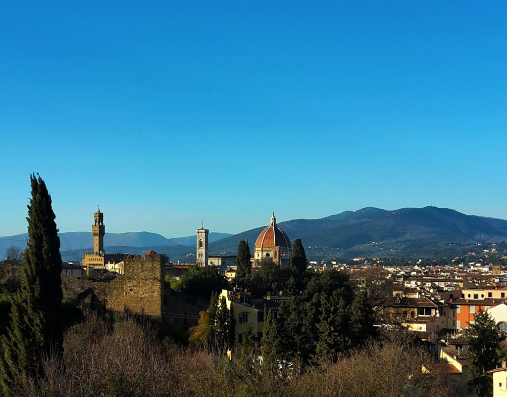
    I love this street. Via dell’Erta Canina makes me feel like I’m walking in old Florence, the bright yellow townhouses paving the way to a very exclusive sight of Santa Maria del Fiore and the Duomo. My advice: take your time on the way down and savour the view.

    At the very bottom, we arrive at Porta San Miniato and turn left on Via di Belvedere, the last and rather steep uphill of the day. We skirt the medieval city walls, which still stand on this side of the Arno, until we reach Porta San Giorgio and the Belvedere fort at the top of the Boboli hill. Commissioned to Buontalenti by Ferdinando I de’ Medici, the 16th century fortress is strategically located, overlooking Florence and the surrounding countryside and, of course, gifting current visitors with more spectacular views of the city.

    Via di San Leonardo, another picturesque street, will take us by olive groves and villas of noble Florentine families, like the Vecchietti, and the quaint church of San Leonardo in Arcetri. We turn on Via Schiapparelli, then right on Viale Machiavelli, which will bring us all the way down the Boboli hill back to Porta Romana closing this great panoramic loop.

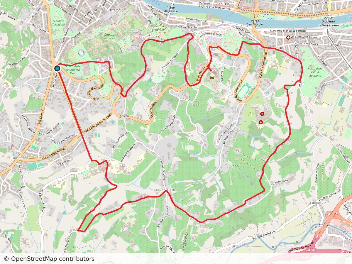
    Street map of the loop from Poggio Imperiale through Pian dei Giullari and Arcetri, with the route in red
    Route: Poggio Imperiale – Pian dei Giullari – Arcetri. Approximate track; map data © OpenStreetMap contributors

    Poggio Imperiale – Pian dei Giullari – Arcetri

    Duration: 3h30
    Distance: 12.4 km (7.7 mi)
    Elevation gain: about 280 m (900 ft)
    Highest point: about 190 m (600 ft)

    Arrive / Depart: Porta Romana. Bus n. 11 (Autolinee Toscane) from Piazza Santa Maria Novella

    Bus and train timetables in Tuscany change often. If you find a line has changed or a stop has moved, please let other hikers know in the comments below!

    Planning more hikes without a car? See my guide to day hikes from Florence by train and bus.

    Thank you for reading! Let me know what you think of this post and help me improve this blog.

    Related hikes: Bellosguardo walk · Arno river walk · Galluzzo and Impruneta

    Which view of Florence do you like best, from Boboli, Arcetri or somewhere else? Tell me in the comments.

  • Florence Off the Beaten Path: Bellosguardo Hill Walk

    Florence Off the Beaten Path: Bellosguardo Hill Walk

    It’s winter. There was a time when the cold and gray days wouldn’t affect me as much. As I age, I feel that my Brazilian blood is manifesting itself preferring hot summer days over this. I can’t wait for spring! I want to get back to my routine of early morning walks and I’ve been planning several hikes for when the weather improves.

    The Duomo of Florence seen through bare branches from Bellosguardo
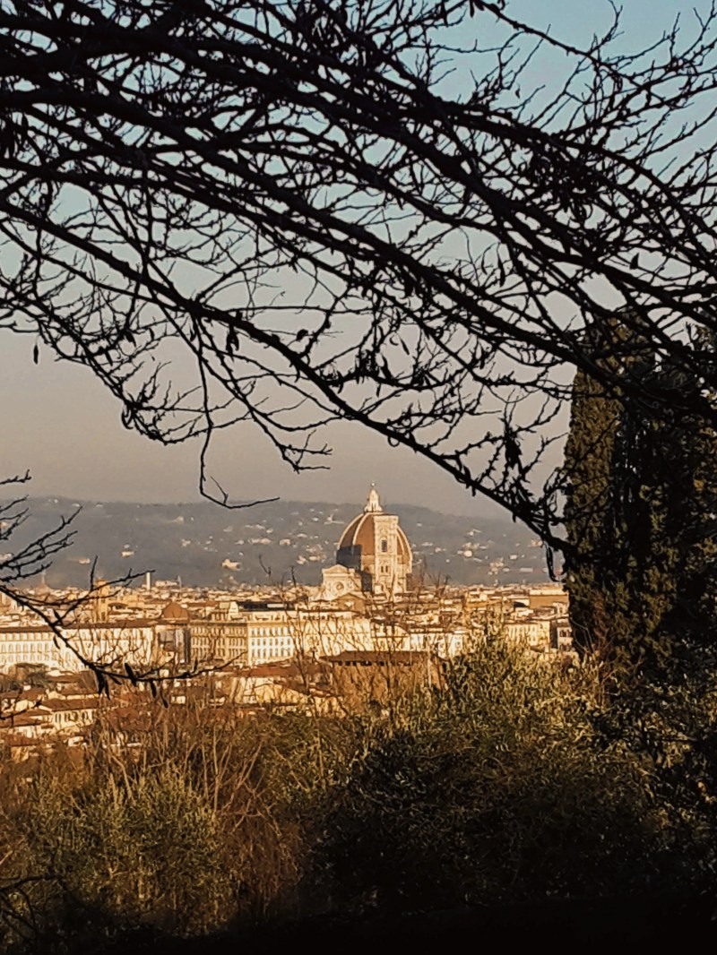
    Duomo from Via di Monte Oliveto. Seriously, the picture doesn’t make justice, come see it for yourself

    But, hey! Today is a gorgeous sunny day and before I go out of my way, planning the next hiking adventure, I should make a point to explore the beauty that is so close to home. Most people who come to Florence (and there are millions who come every year, especially during the summer months) visit the main attractions and museums in the city center. Everybody knows not to miss the Duomo, David, the Uffizi, Ponte Vecchio, etc. Slightly more adventurous souls take the short walk up Monte alle Croci, passing the church of San Niccolò and Porta San Miniato, to reach Piazzale Michelangiolo for a stunning panorama of Florence. However, few experience life beyond the city walls where, believe it or not, exist abundant green parks, historical sites and authentic neighborhoods that can truly enrich your visit to the City of Art. I currently live in Oltrarno, outside the city walls (fuori mura, as locals say) at the bottom of the hill of Bellosguardo. A brisk walk uphill leads me to the first local path that I would like to share with you.

    Umbrella pines seen through an iron gate under a brick arch
    Umbrella pines seen through an iron gate under a brick arch

    Now, this lovely walk is seriously close to home. This is how I usually start my day, walking up and away from any madness happening down in the center of the city (especially when tourist season is upon us). Bellosguardo (Beautiful Sight) offers genuinely beautiful views of Florence, from a less known angle than most visitors are used to when they climb up Piazzale Michelangiolo.

    Narrow lane between walls under yellow-blossomed trees
    Charming Via di Monte Oliveto

    Via di Monte Oliveto and Villa Strozzi

    Starting at Via Monte Oliveto, going up from Viale Aleardi, the facade of Santa Maria del Fiore and the gorgeous Duomo is in full view where the street bifurcates. To the right the church of San Bartolomeo and the park of Villa Lo Strozzino, to the left a steep uphill toward the church of Santi Vito e Modesto and the Strozzino villa and park. Let’s take left – I like to punish myself and eventually we will loop back here… wait.

    Cypresses framing the rooftops of Florence
    View of Soffiiano from Villa Strozzi

    On a second thought, it is better to appreciate the views of Bellosguardo coming down Via Monte Oliveto. So, we’ll go right instead, reaching the dead end of the narrow street to enjoy a serene view of olive groves and Marignolle in the distance. Here, we also find the church and ex-monastery of San Bartolomeo, which I’ve never seen open to the public, and we continue through the side gate of the park of Villa Strozzi.

    While Giovan Battista di Lorenzo Strozzi conceived the plans for the park and the villa in the 16th century for his own enjoyment, modern Florentines have free access to a refreshing green space with pine, platanus and horse-chestnut trees, to walk around, play with their kids and let their dogs loose in the reserved area. The villa, stables and the limonaia (where the lemon trees in terracotta vases would be kept in the winter months) were completely repurposed in the 1970s to house an institute for contemporary art and design, and promote events during the summer. Behind Villa Strozzi, the panorama opens up toward the southwest of Florence, revealing Isolotto, Soffiano, Scandicci and the Montalbano hills far in the distance.

    Panoramic view of Florence from Bellosguardo
    Try to spot the following churches on this view: Santa Maria del Fiore, Orsanmichele, Santo Spirito, Santa Maria del Carmine, Santa Croce, San Frediano, Santa Maria Novella and Ognissanti

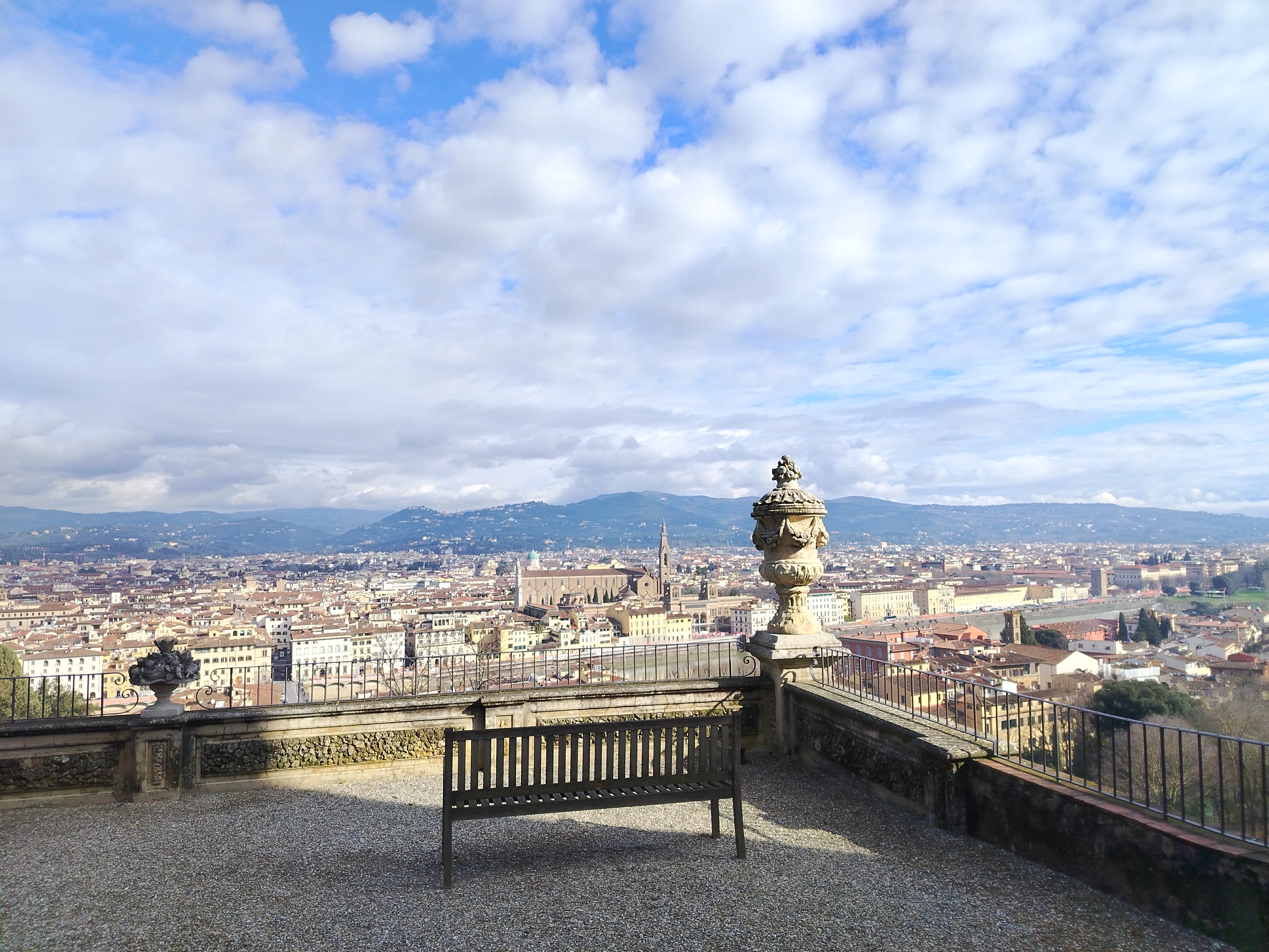
    Continuing downhill on the road or through the dirt paths, we arrive at the elegant main entrance and turn left on Via di Soffiano, which gives us a feel of little Florence, away from the city center, the area is teeming with locals, corner caffè bars and typical trattoria restaurants. It’s a shame this is such a heavily trafficked street. Shortly after, we turn left onto Via San Vito, a slightly steep uphill walk back to Bellosguardo. The traffic noise soon stays behind. At our back, every now and then the stone walls flanking the street open to wonderful views of Soffiano and Bellosguardo. We reach Villa Lo Strozzino and its quiet park and continue right up to Piazza di Bellosguardo, stopping on the way to admire a gorgeous panorama of Florence with the facade of Santa Maria del Fiore cathedral, Palazzo Pitti, Belvedere Fort, Fiesole and the surrounding mountains.

    Piazza di Bellosguardo

    We arrive at our crossroads in Piazza di Bellosguardo. We will end up back here through Via Piana but for now we will make a slight right turn into Via San Carlo. A few steps forward, we have another breathtaking panorama of Florence by the Montauto castle: cypress trees and umbrella pines lining up on the horizon, the neighborhoods of Isolotto and Novoli down below, Monte Morello watching over them. Via San Carlo is enchanting, its stone walls low enough to allow us to enjoy the green fields and olive groves around the neighborhood.

    View across Florence to distant mountains
    Panorama from Via San Carlo

    Soffiano and back

    We descend again into Via di Soffiano, already far from the city center and with a lot less traffic, to soon arrive at the 19th century cemetery of Soffiano. Continuing ahead towards Via del Ferrone takes us on the last uphill hike of this trail and to more panoramic views of Isolotto and Scandicci. Taking a left on Via dei Morelli, a tunnel of oak and cypress trees shades the path that leads us to Marignolle, where it feels like walking in campagna, in the countryside, with vineyards and olive groves dominating the scenery. After passing Villa Tolomei, a high-end hotel nowadays, we soon reach Via Piana again, the ‘flat street’, which will take us back to Piazza di Bellosguardo.

    Villa on a hill above fields and bare trees
    Via del Ferrone and the 16th century Villa I Visibelli on top of the hill

    From here, it’s downhill to Villa Lo Strozzino and to rejoin Via di Monte Oliveto. We walk by the quaint church of Santi Vito e Modesto and soon we can gasp one last time at the magnificent view of the facade of Santa Maria del Fiore and its Duomo. The ‘Veduta della Catena,’ a 15th century incision by Francesco di Lorenzo Rosselli, immortalized the city in the glory of its early Renaissance from this viewpoint. Then, at the very bottom, we are back at Viale Aleardi, where bus n. 12 takes us back to the city center; or, in the other direction, to Piazzale Michelangiolo in case you haven’t had your fill of panoramic views of Florence yet.

    Did you enjoy this post? Let me know what you think and help me improve the blog!

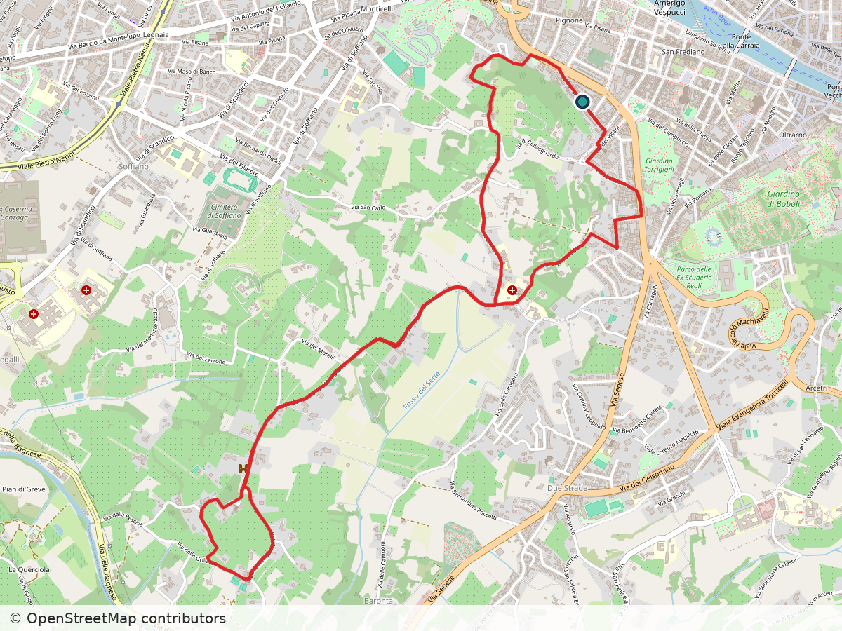
    Street map of the Bellosguardo, Marignolle and Soffiano loop in the hills southwest of Florence, with the route in red
    Route: Bellosguardo – Marignolle – Soffiano. Approximate track; map data © OpenStreetMap contributors

    Bellosguardo – Marignolle – Soffiano

    Duration: 2h
    Distance: 8.1 km (5 mi)
    Elevation gain: about 180 m (600 ft)
    Highest point: about 160 m (500 ft)

    Arrive / Depart: Via di Monte Oliveto. Bus n. 12 (Autolinee Toscane) from Ponte alla Carraia (stop Soderini Torrino Santa Rosa or Lungarno di Santa Rosa) going towards Piazzale Michelangiolo (get out at bus stop Sanzio)

    Bus and train timetables in Tuscany change often. If you find a line has changed or a stop has moved, please let other hikers know in the comments below!

    Planning more hikes without a car? See my guide to day hikes from Florence by train and bus.

    Related hikes: Arcetri and Pian dei Giullari · Along the Arno to Rovezzano · Galluzzo and Impruneta

    Have you found your own quiet corner just outside Florence’s walls? Share it in the comments, I’d love to try it.

  • There and Back Again…

    There and Back Again…

    Florence, Italy

    It’s a dangerous business, Frodo, going out your door. You step onto the Road, and if you don’t keep your feet, there’s no knowing where you might be swept off to. — Bilbo Baggins

    The road that brought me here

    No truer words have ever been written. Decades ago, I was a teenager when I told my mother the world was my home. It was a sincere and spontaneous assessment of my relationship with Earth and my desire to explore it. It took me a few more years, already in Law School, before I boarded the bus that would bring me to where I am now.

    I remember that moment vividly. Memories are stronger when attached to emotions. I was excited, and scared. I had never crossed the border into another country. And there I was, ready to embark, with Bolivia and its famous Death Train as my destination. Machu Picchu and the Atacama Desert – which I had wanted to walk on since I was 10 years old – were part of that journey too, but this story is for another time.
    The Duomo dome of Florence seen from above
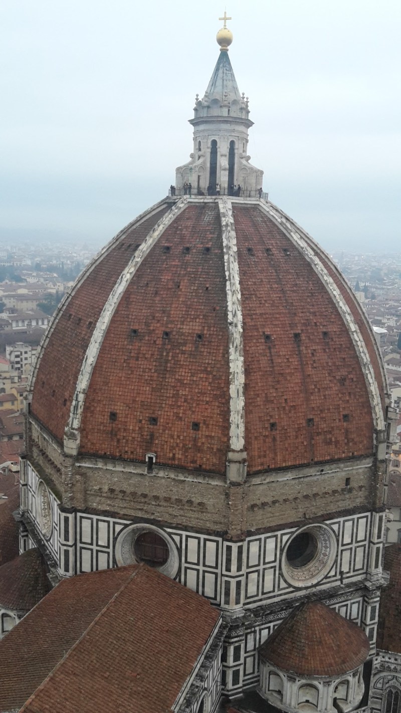
    View of Santa Maria del Fiore – the Duomo – from the top of Giotto’s bell tower

    That first trip opened the floodgates that would bring me to Florence, Italy, for the first time in 2007. I applied for Italian citizenship due to my direct descent to a great-grandfather who immigrated to Brazil in the early 20th century. I chose Italy and Italy chose me… Here I fell in love with my wife, Christine, and enjoyed a great life as a hiking tour guide before I moved to the US for a study opportunity. It took me a good five years before coming back, in 2015, with renewed enthusiasm and eagerness to discover more and more about this beautiful country.

    Sharing the beauty

    But enough about me. Actually, I’ve never been good at sharing the wonder that I’ve encountered in this world. I want to change that. One thing I’ve learned in my short life is that happiness is sharing. In times when negativity and hopelessness seem to permeate the mainstream waves, I want to share with you the beauty that exists everywhere. Please join me as I start my adventure – I hope you enjoy the ride.

    Marble church facade lit in red at night
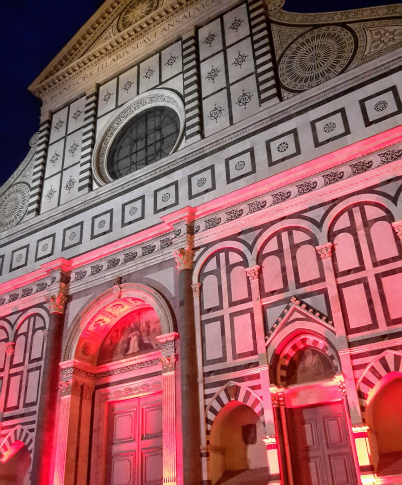
    Facade of Santa Maria Novella – original monumental work of Leon Battista Alberti, finished in 1470 (one of my favorite churches in town, definitely worth a visit!)

    Where to start: my Bellosguardo walk, right outside the city walls.

    No car? See my guide to day hikes from Florence by train and bus.

    Planning a hike near Florence? Ask me in the comments, and I’ll point you to the right trail.