The Via Francigena, the Frankish Road (or the Roman Road, if you’re heading south), carved a vital artery through medieval Europe, guiding pilgrims from across the continent toward Rome’s promise of redemption—a prelude to the arduous journey to the Holy Land. Fragments of this historic route endure in Italy, beckoning those of us drawn to the past. On a winter’s day, when the plains around Lucca lie open under a cool sky, I set out to walk the stretch to Altopascio, eager to trace the steps of those long-ago travelers.
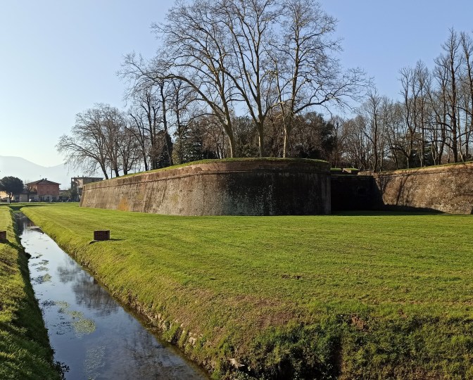
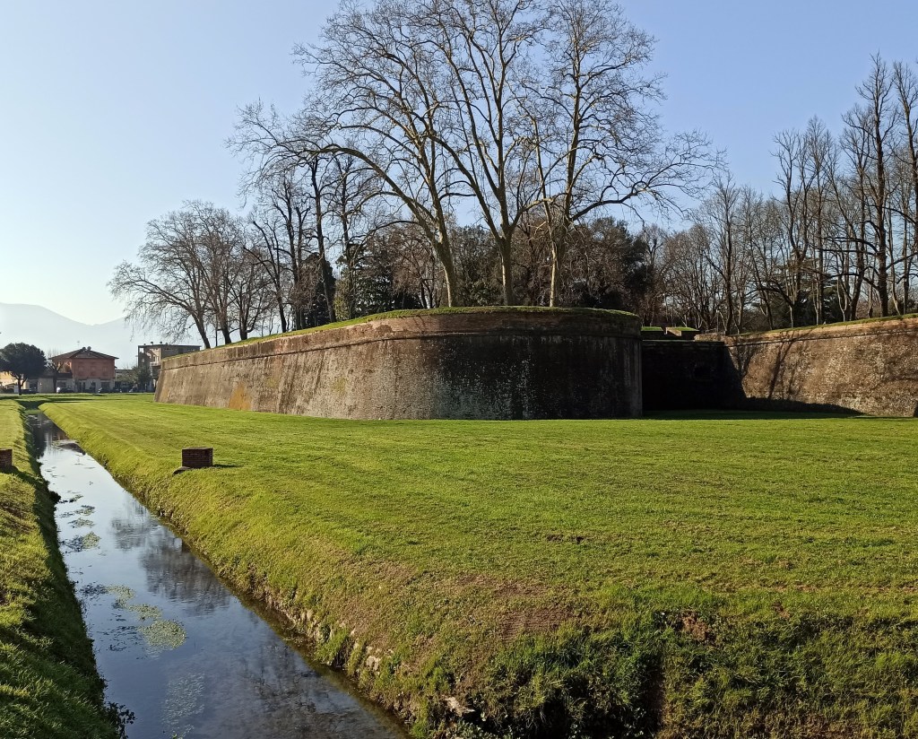
Lucca marks the starting line, its Renaissance walls and moat a testament to 16th-century ingenuity. Arriving by train, you cross the moat’s remnants and enter through Porta San Pietro, a towering gate that once shielded weary pilgrims from the bandits lurking beyond. The city invites exploration: the Pisan-Romanesque elegance of Duomo di San Martino, founded by San Frediano in the 6th century, or San Michele in Foro’s 8th-century grace. Don’t miss Torre Guinigi, crowned with oaks, or a walk atop the walls for a panoramic view.
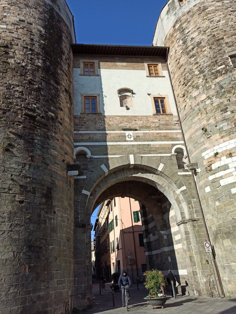
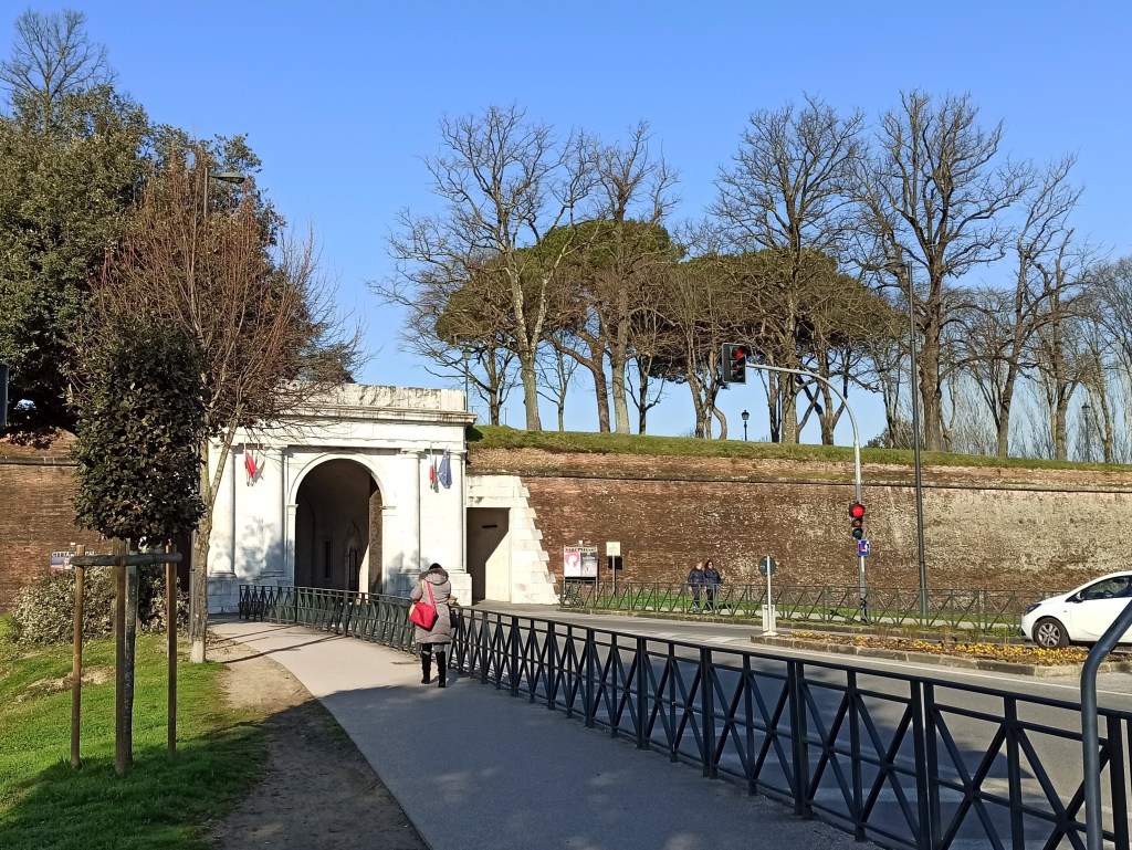
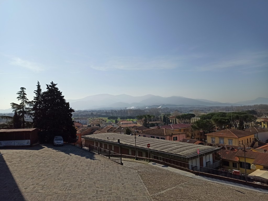
My journey pressed on. I passed through the medieval Porta San Gervasio, then past the 12th-century Santa Maria Forisportam, and left the city walls behind through Porta Elisa. From there, the Via Francigena’s signs—well-placed posts and decals—lead you onward. Via di Tiglio passes the Monastery-Sanctuary of St. Gemma Galgani, a 20th-century native saint, before joining Via Romana. This provincial road hums with traffic, but a sidewalk cuts through the modern sprawl. A mile later, Via Paladini offers respite, unveiling distant glimpses of the Apennines to the north and Monte Pisano’s gentle rise to the south.
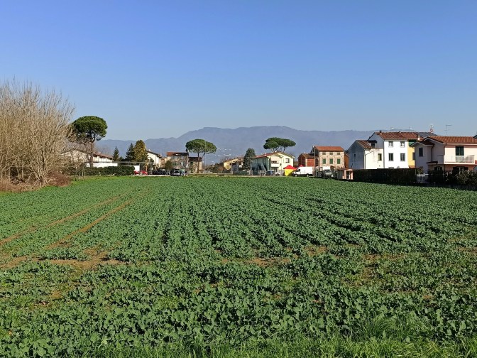
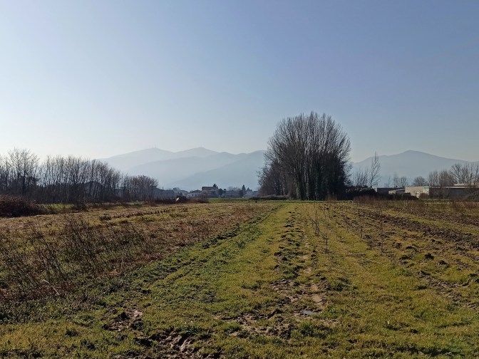
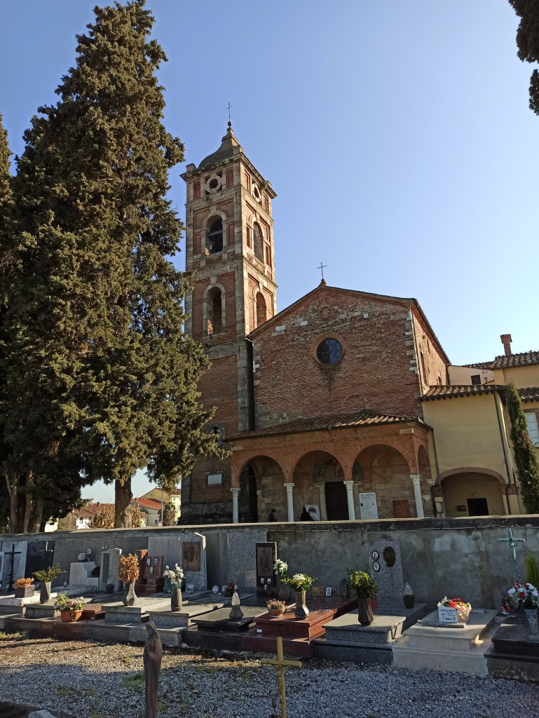
San Michele Arcangelo emerges soon after, its 8th-century origins clad in a 12th-century shell, beside a cemetery hushed by time. Capannori follows, where the 12th-century Santi Quirico e Giulitta stands solemn; pilgrims carrying a credential (pilgrim passport) can claim a stamp at one of the welcome offices in town. The route skirts north to avoid Via Romana’s clamor, passing through Porcari’s industrial flats—less inspiring, but fleeting. Via Romana Ovest redeems the trek, and a detour to San Giusto rewards with its 19th-century marble facade and vistas back to Lucca’s distant towers.
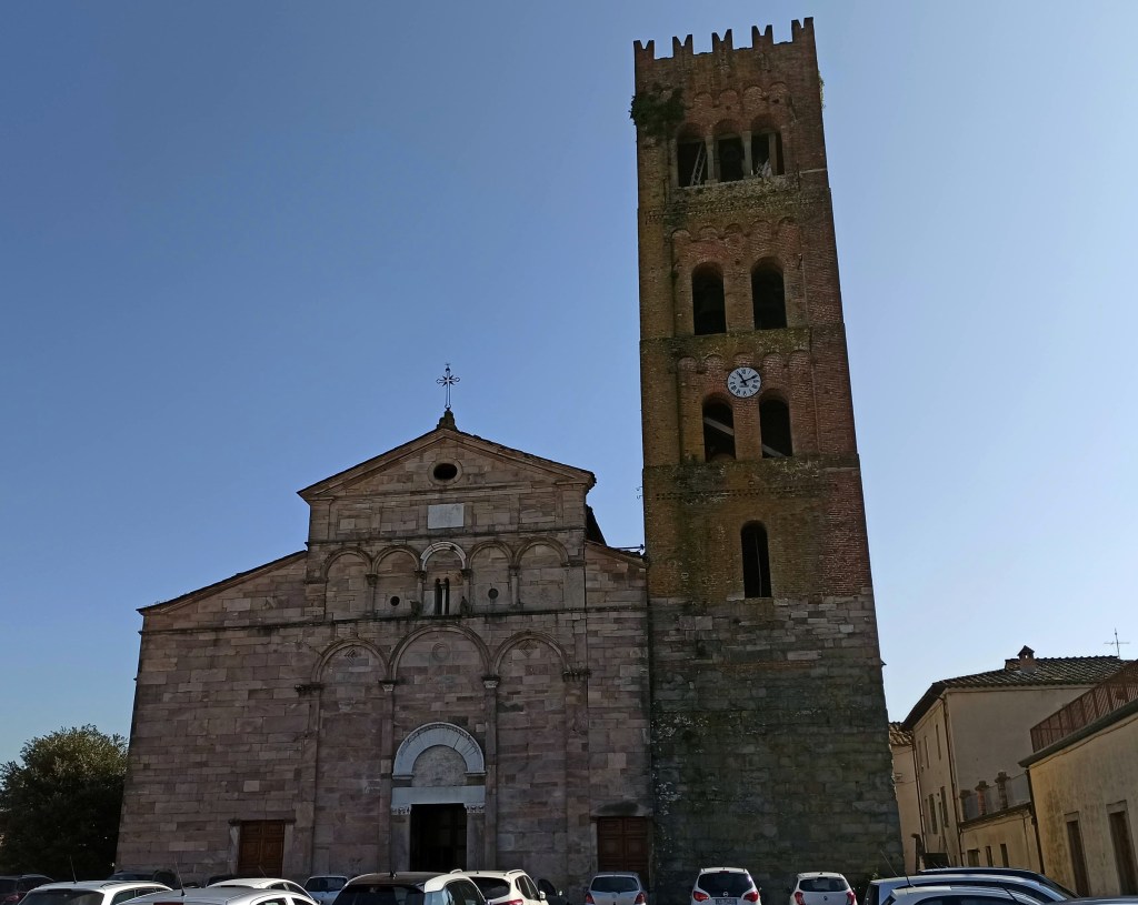
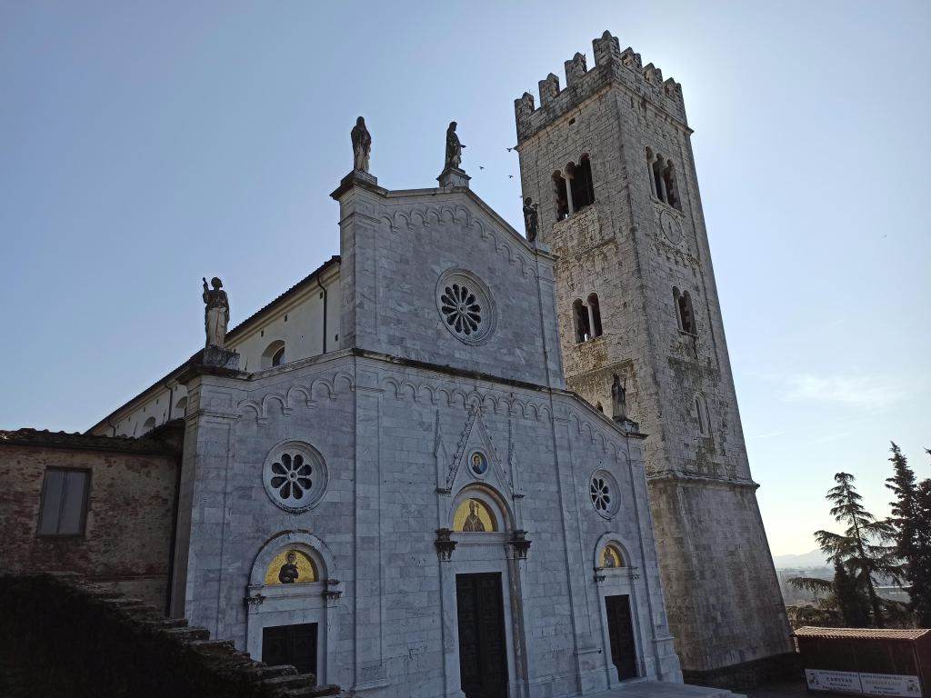
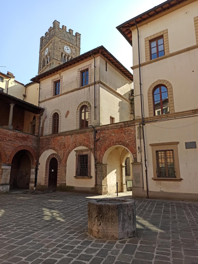
Altopascio arrives understated yet charming. In Badia Pozzeveri, the abandoned San Pietro abbey broods near modern storefronts, but the town’s core—a medieval well, gothic loggia, and the Romanesque Santi Jacopo, Cristoforo ed Eligio—hints at its pilgrim past. The train station sits just beyond, ready to whisk you back to Lucca or Florence.
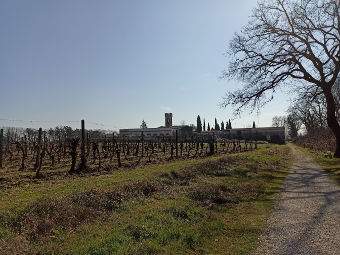
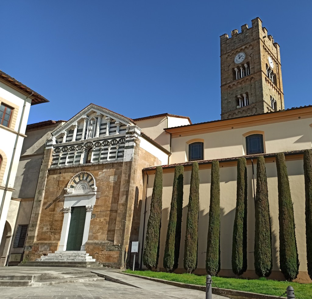
This walk didn’t stir the medieval fervor I’d imagined, but it carried me through layers of history all the same. The Via Francigena endures—not in grand gestures, but in these enduring stones and silent views. Have you walked its paths? I’d welcome your tales.
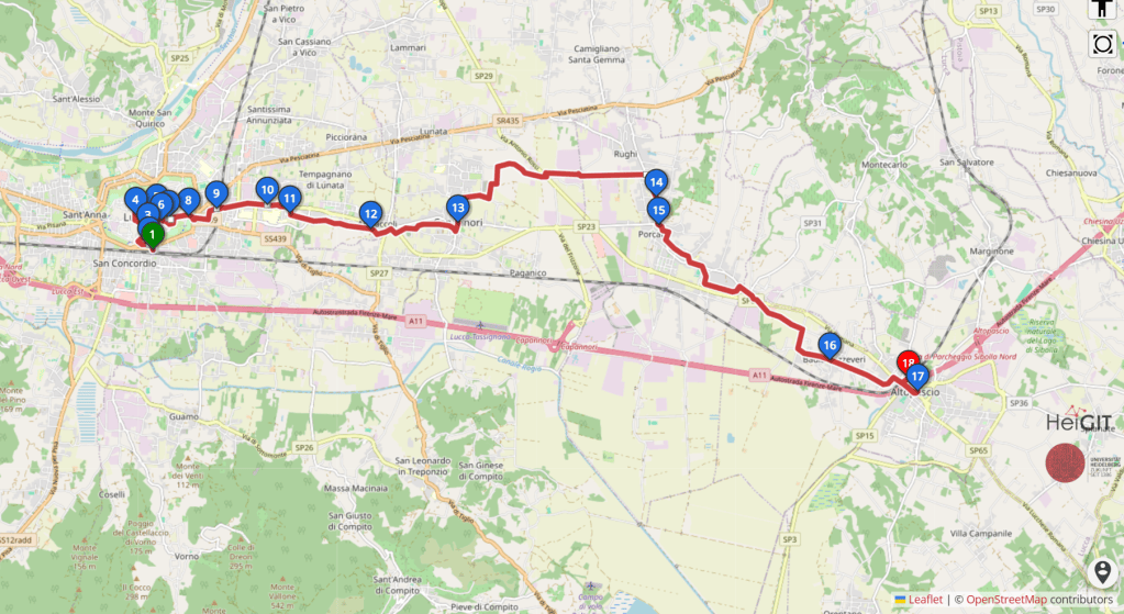
Trail facts
Lucca – Capannori – Altopascio
- Distance: 13 mi (21 km)
- Time: ~4h10
- Elevation: mostly flat (the official Lucca–Altopascio stage lists about +52 m / −62 m: Vie Francigene stage page)
- Difficulty: Easy: mostly flat and along paved roads
- Best season: I’d avoid summer and hot, sunny days, since there’s little shade and few places to refill water. It makes a great winter walk, and early spring or late fall work well too
- Getting there: Regional trains run from Firenze Santa Maria Novella to Lucca, either via Pistoia and Montecatini or via Pisa, taking roughly 1h20 to 1h45 depending on the train. The fastest are the hourly regional trains to Viareggio that stop in Lucca, at about 1h20. Check trenitalia.com for current times and tickets. From Lucca station, cross the road and enter the walls through Porta San Pietro
- Getting back: Altopascio station is on the Lucca–Pistoia–Florence line. Direct regional trains run to Lucca (about 10–20 minutes) and to Firenze Santa Maria Novella (about 1h10–1h30, via Montecatini, Pistoia and Prato). Buy a regional ticket on the Trenitalia app or at the station machine before boarding, and check trenitalia.com for current times
Tips for the walk
- Follow the Via Francigena waymarks: the little pilgrim figure on signposts and red-and-white stickers. A GPS track on your phone helps through the busier stretches around Capannori and Porcari
- If you are collecting pilgrim stamps, you can get them in Lucca, Capannori and Altopascio along the way
- Altopascio grew around a medieval hospital for pilgrims, and its bell, called La Smarrita, used to ring in the evening to guide travellers lost on the plain. Altopascio is also known as the “Città del Pane” (City of Bread), and its bread is tied to the story of the Francigena and the pilgrims who passed through, so pick up a loaf before the train, like a good pilgrim
- I packed my own lunch and ate along the way, so bring food and plenty of water
This stretch of the Via Francigena wasn’t as exciting as I expected, but I still look forward to discovering other parts of it. There’s no lack of beautiful trails along the way.
Want more walks you can reach by train from Florence? Try my Monte Pisano hike from Lucca along the Nottolini aqueduct, which starts from the same station, or browse my guide to day hikes from Florence without a car.
Train times change, so if you spot a schedule change or a new detour on the route, please let me know in the comments. It helps the next walker!

